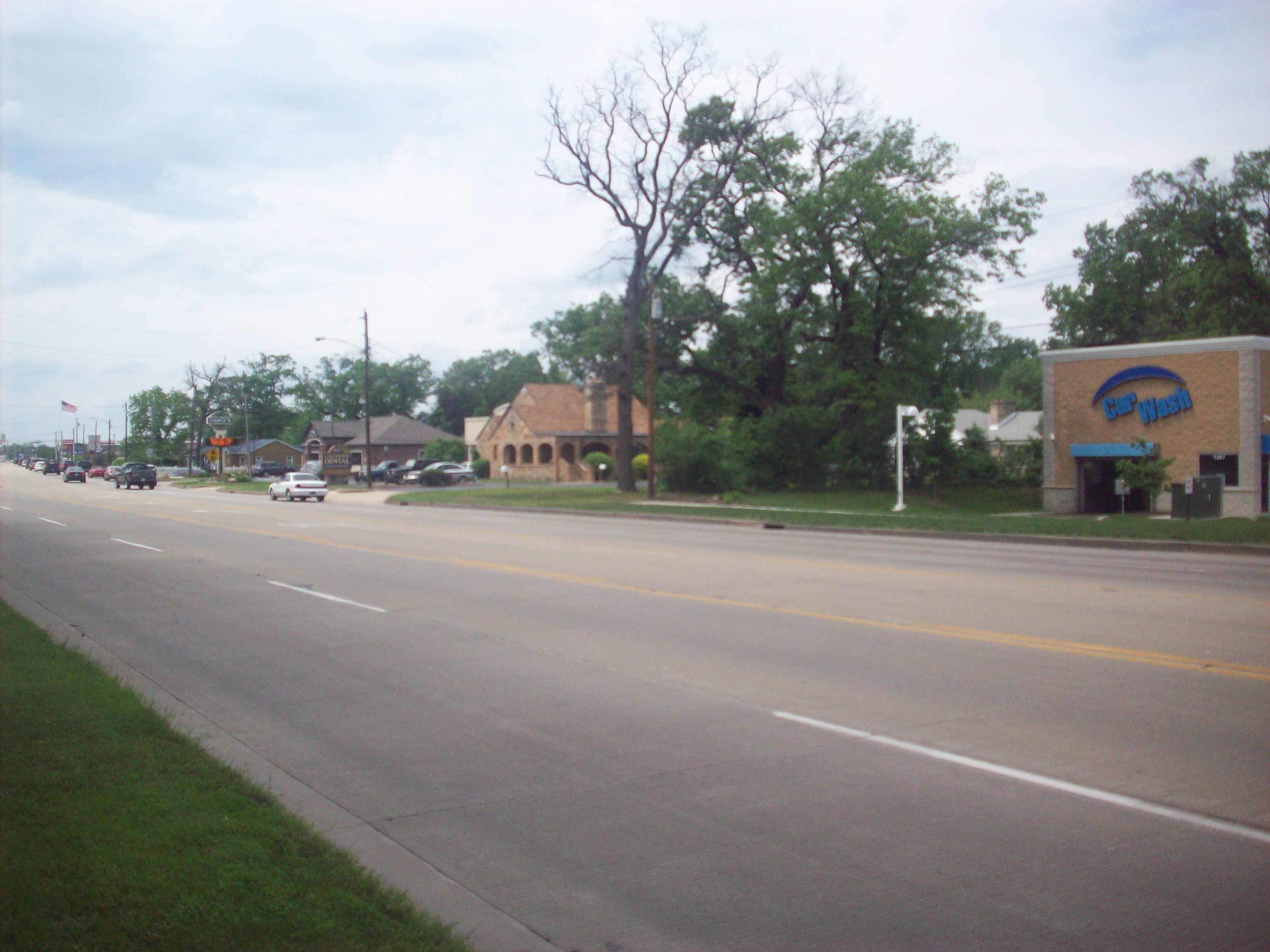
You know how you feel an unexplained change in energy when you cross a state line or a huge body of water? I felt that leaving Ohio and crossing into Indiana. Some of that was because of its own familiarity (I’ve been based out of Chicago for the last several years and have driven some of these sections before), but I truly think there’s a shift in how the Lincoln Highway’s route changes. I’m grouping Indiana and Suburban Chicago (aka “Chicagoland”) together, not because filling out a blog post, but because the route in this point has its own “feel”, and once you get outside of Chicagoland, the feel changes again.
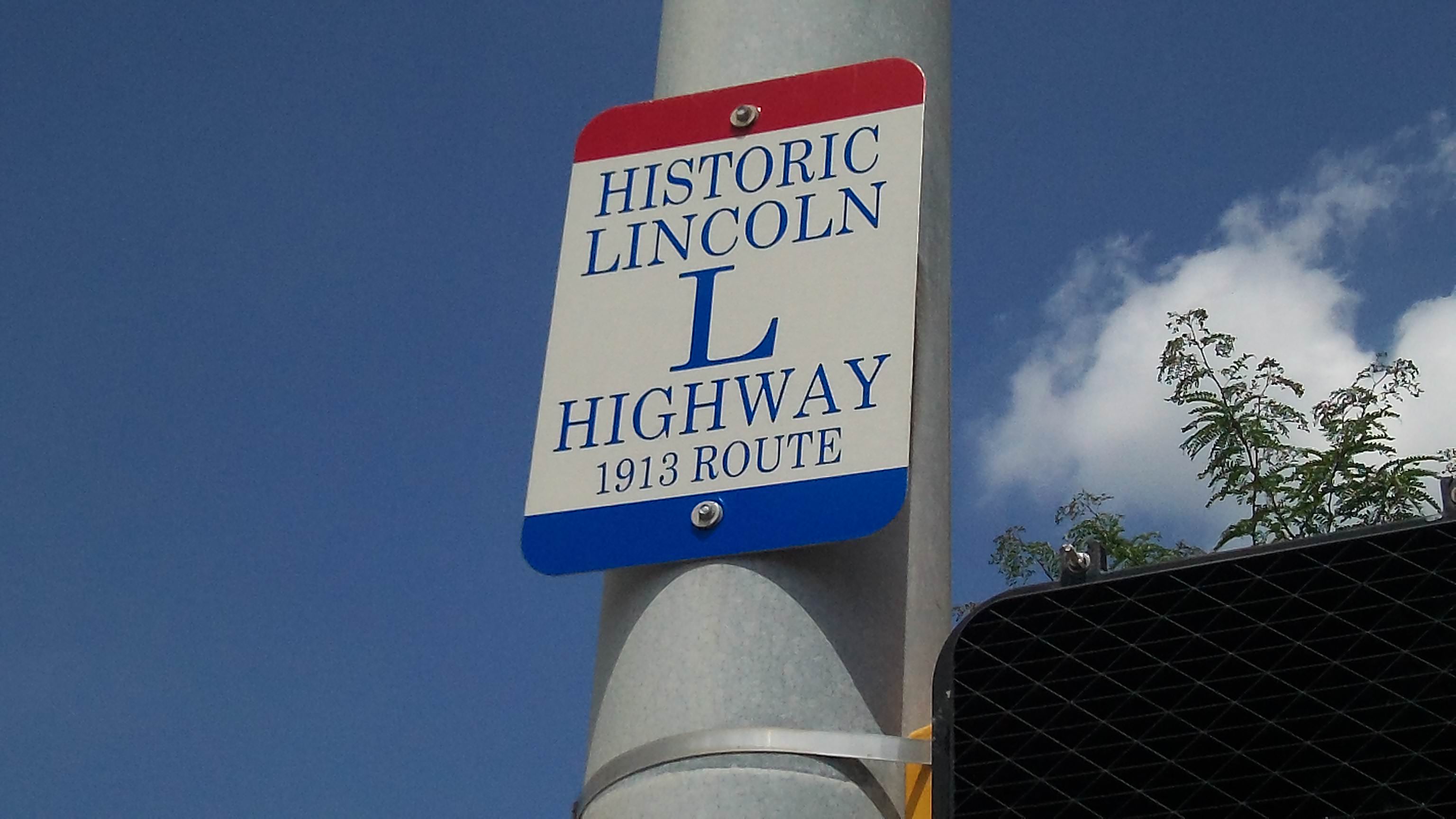
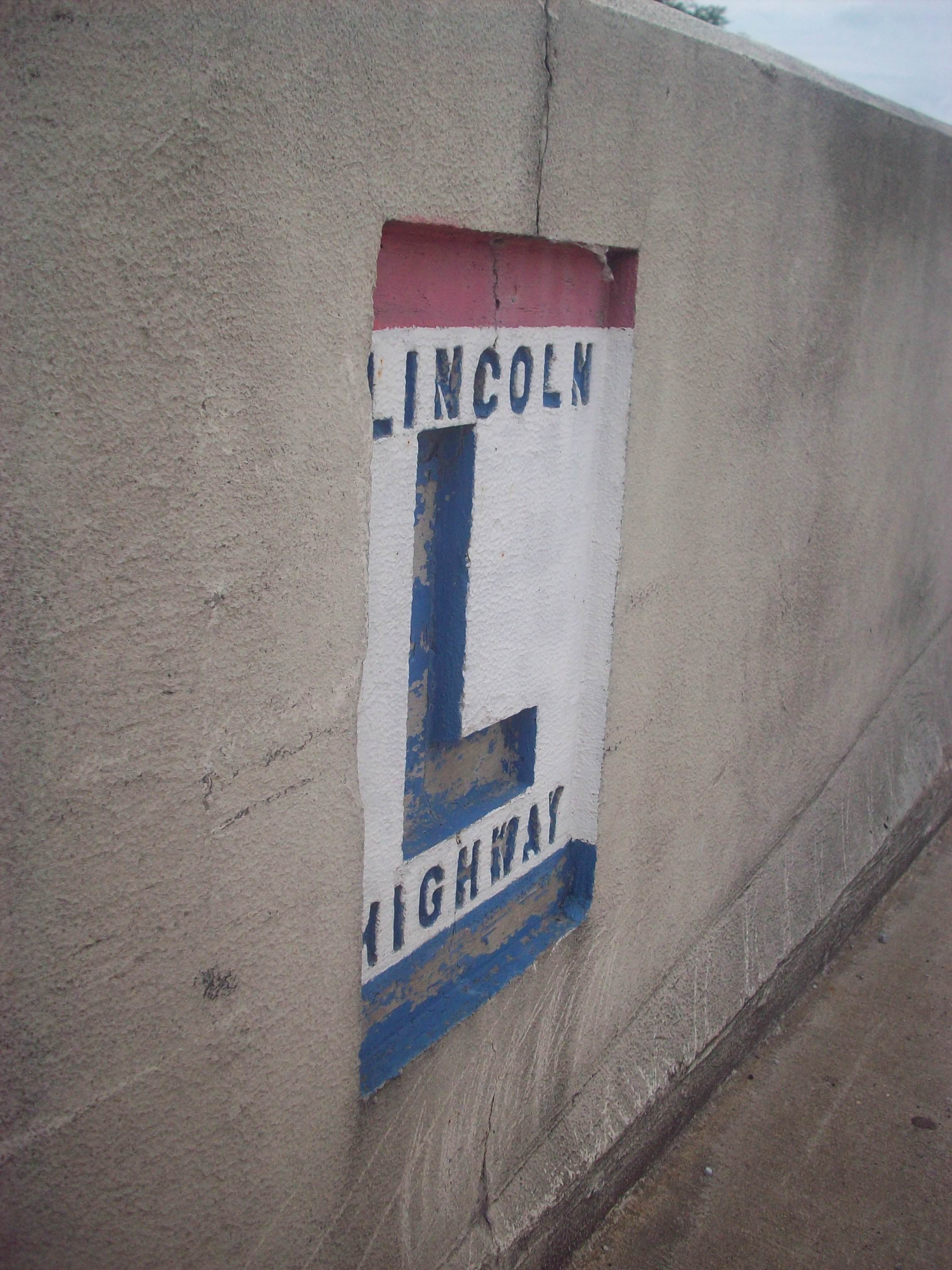
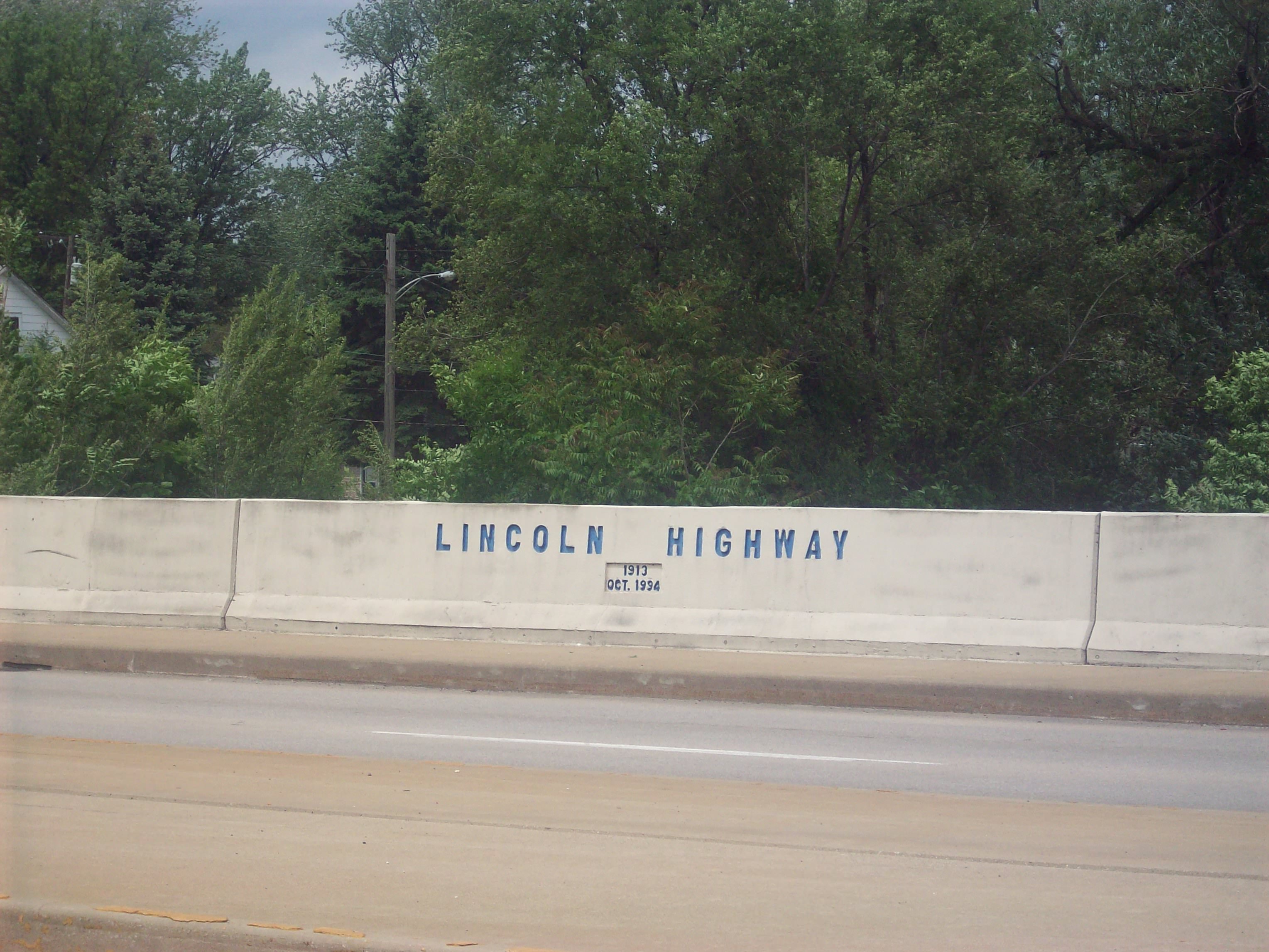
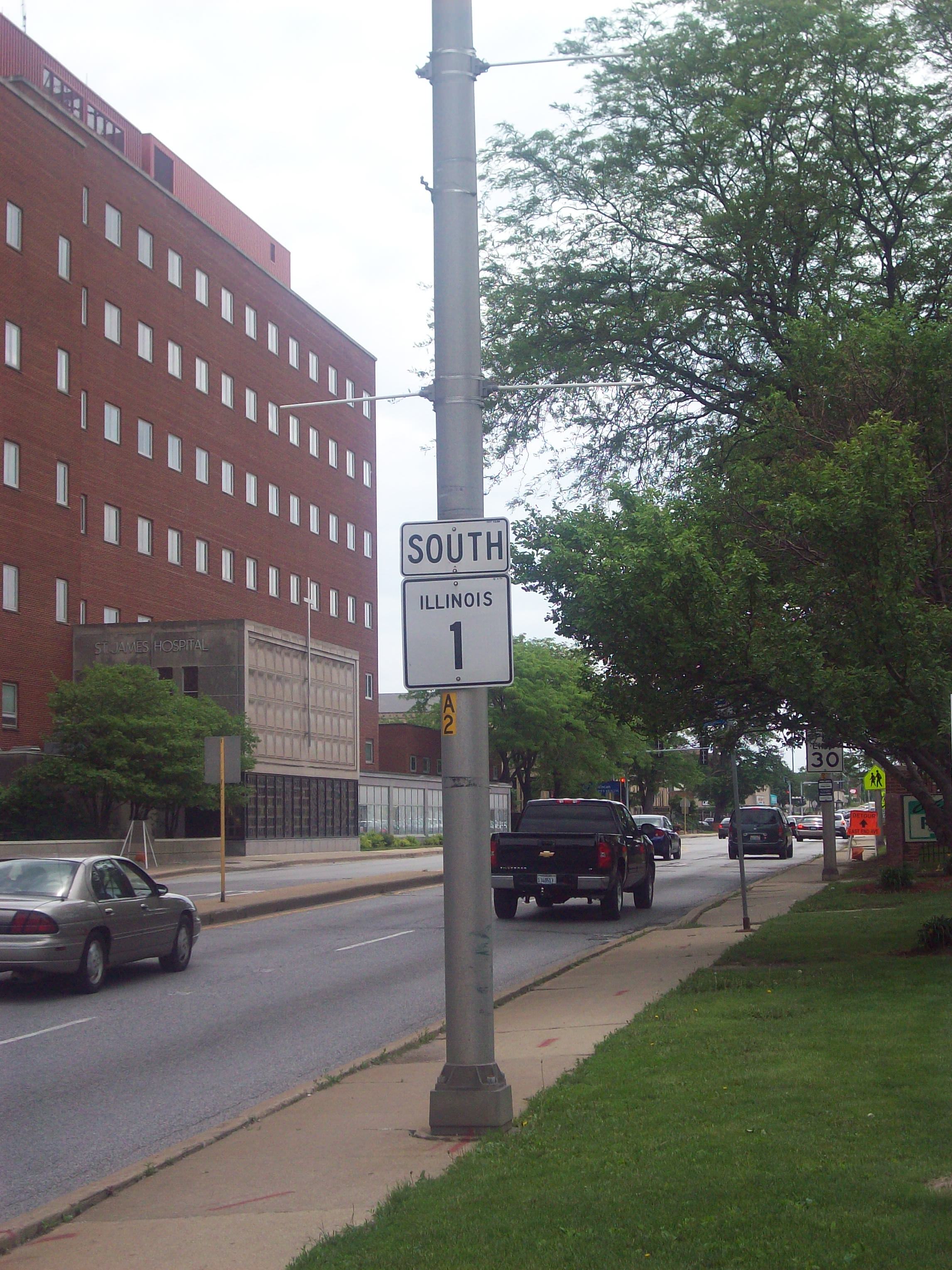
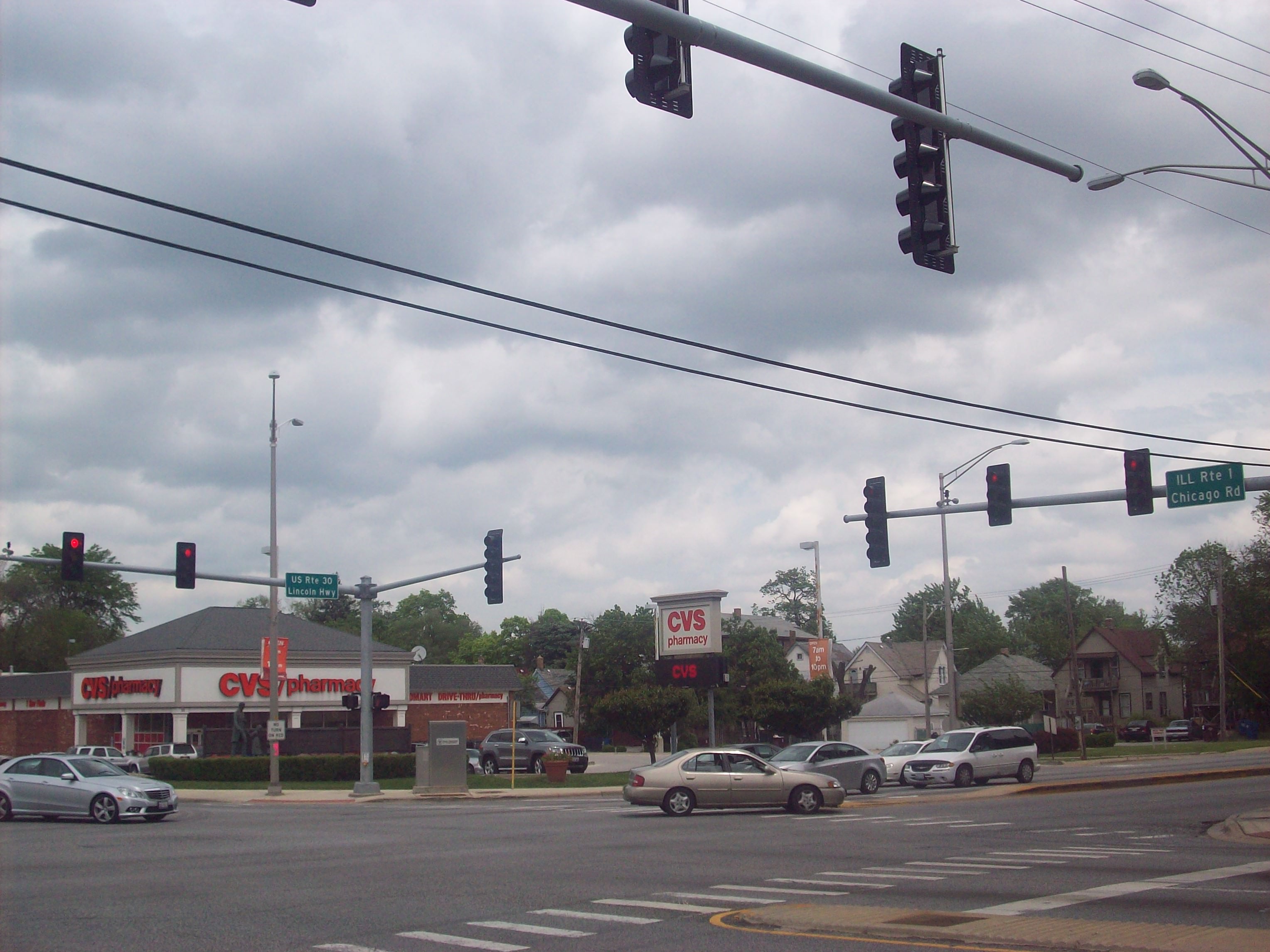
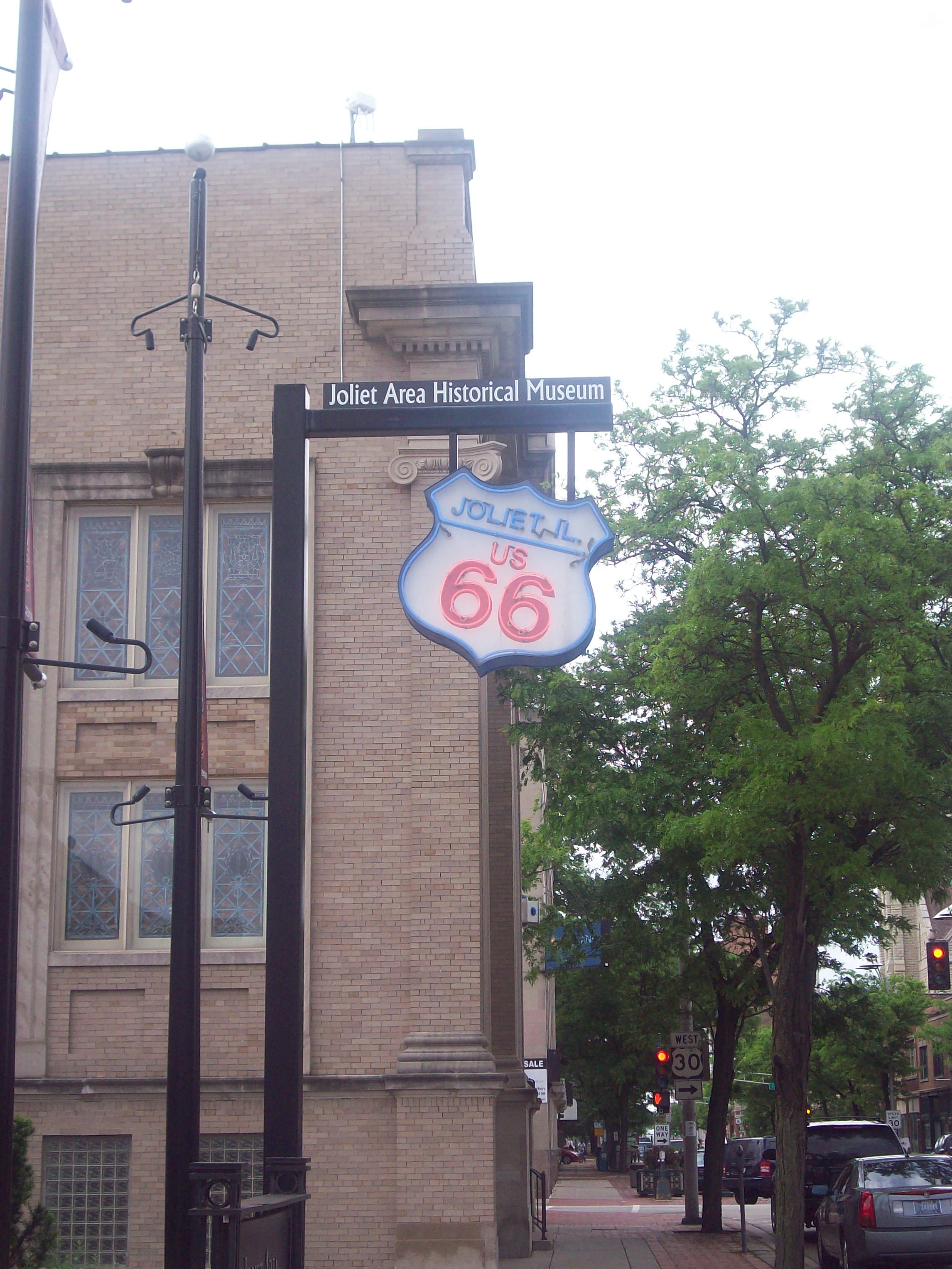
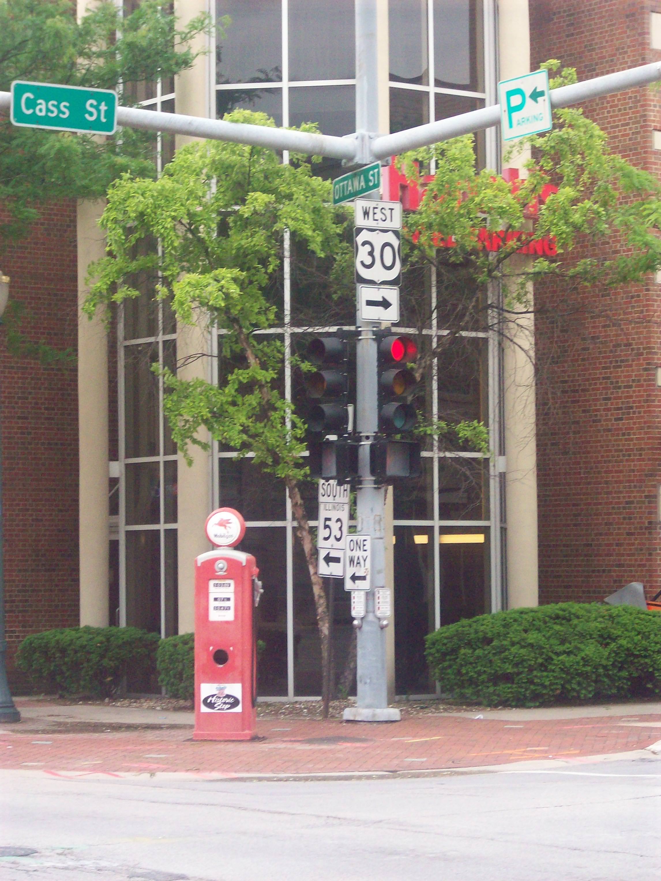
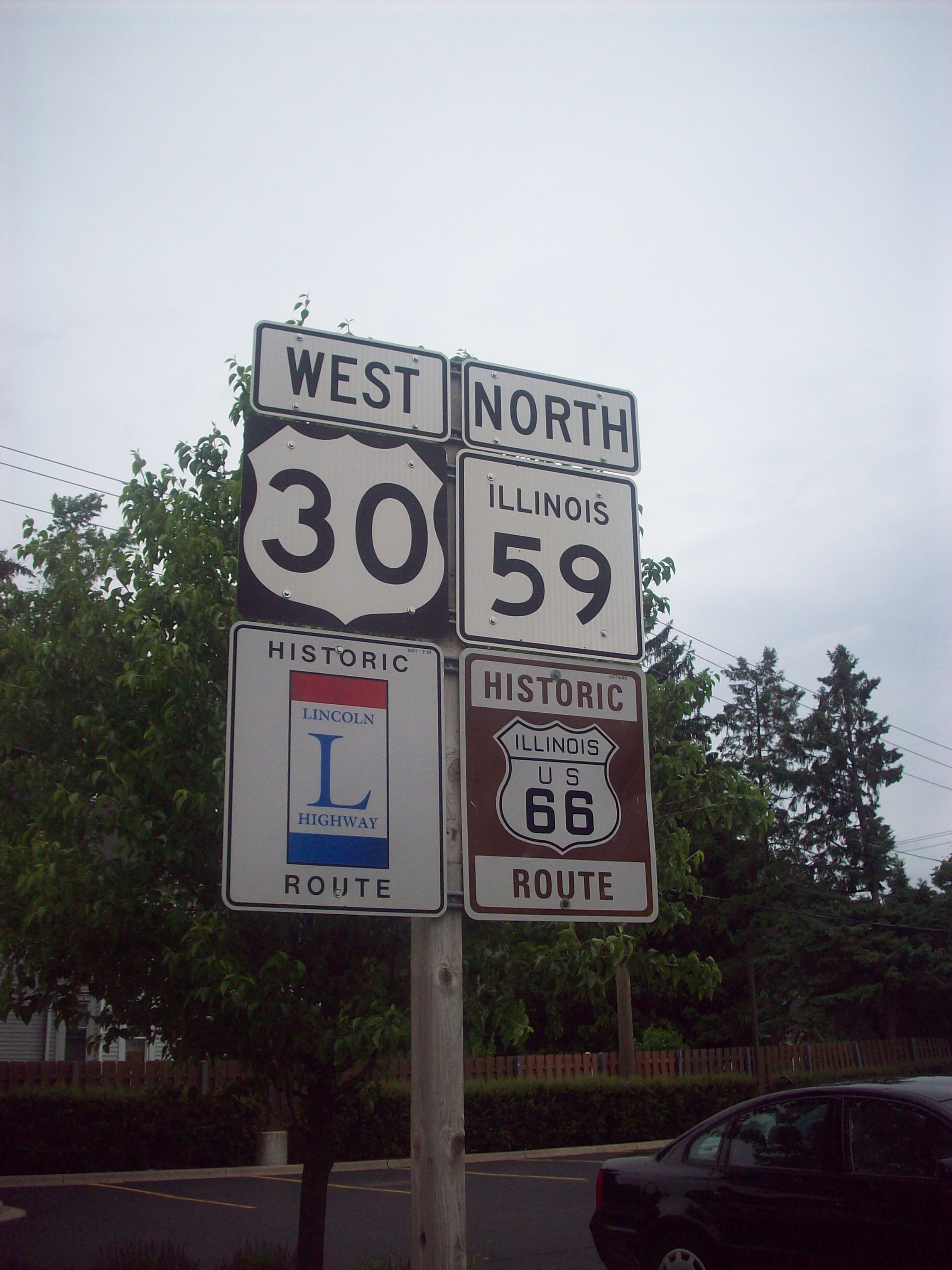
Once you get outside of Fort Wayne, there are two completely different routes that you can take through the the state of Indiana. Both routes are recognized by the Lincoln Highway Association, and each has their own charm. I took the 1913 route since this is the Centennial of the road mostly, but did drive parts of the final road alignment from the late 20’s. I will be honest, the signage along either route is not great, and I often got lost driving around these parts. The route recently acquired a “National Byway” status, and I hope that the signage in these parts does change quickly. In the meantime, there are turn-by-turn guides you can see on the Indiana Chapter’s website, and I strongly recommend using them. The route becomes one unified route in Valparasio, and then it mostly follows US 30 until the border. Once you cross into Illinois, the signage becomes much better for the route, and you can easily drive the Lincoln without additional help. There’s some major old roads that intersect with the Lincoln Highway of note, and those are the Dixie Highway and Route 66. There’s some neat things at these intersections, which you will see in the Photo Gallery below.
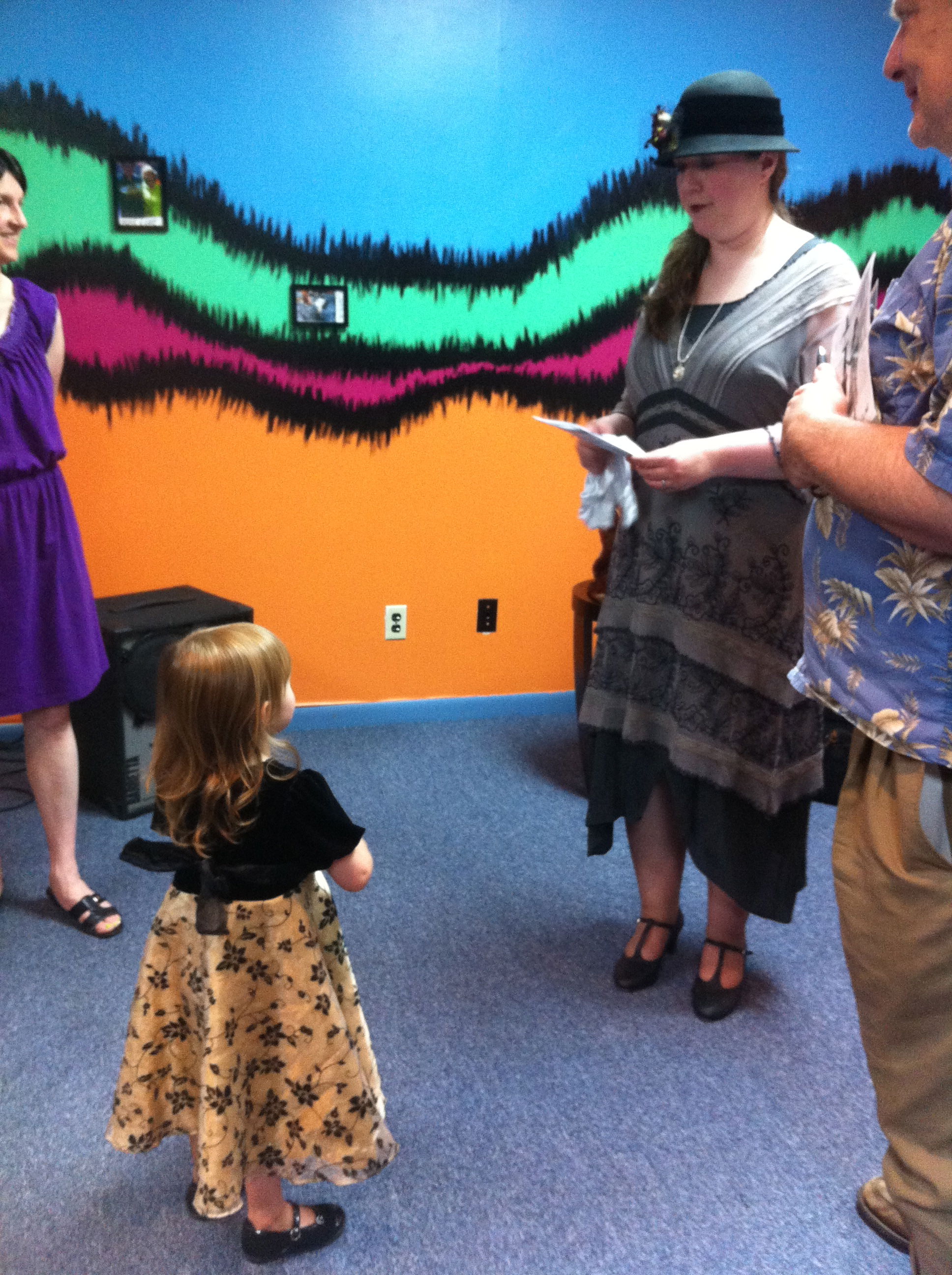
I did three performances in Indiana and in Chicagoland, and each one went very well. My performance at The Music Village in South Bend was probably the most memorable one. This organization is “a community musical arts alliance, that celebrates music and cultural expressions rooted in the traditions of diverse local and global communities in the heart of downtown South Bend, Indiana. This is a place where young and old, beginners and advanced players, and people from various cultures and traditions come together to create music, experience dance and learn from each other.” I really had a wonderful time performing there , and would love to perform there again. If you live in the area, I would definitely check out what they have to offer.
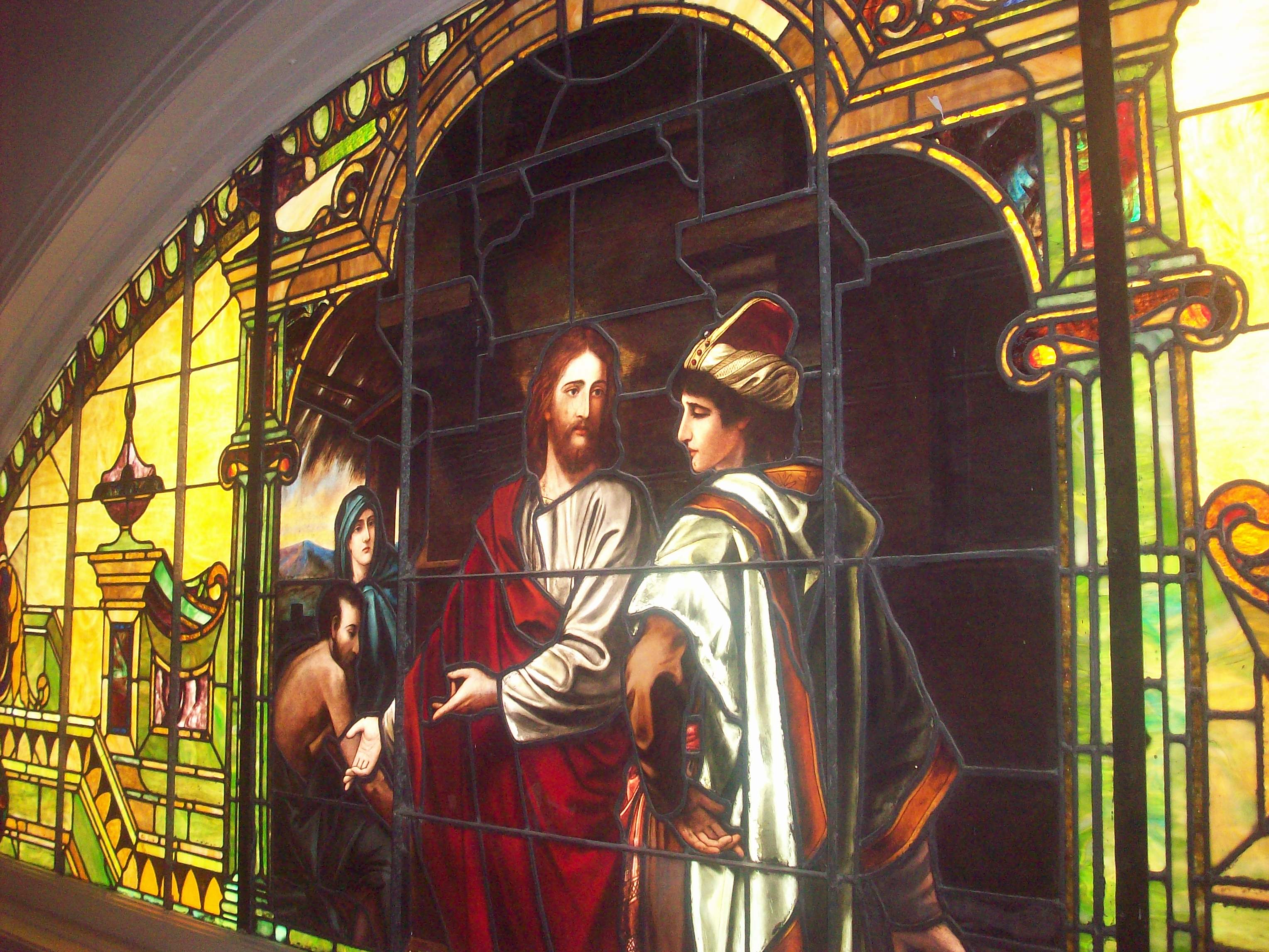
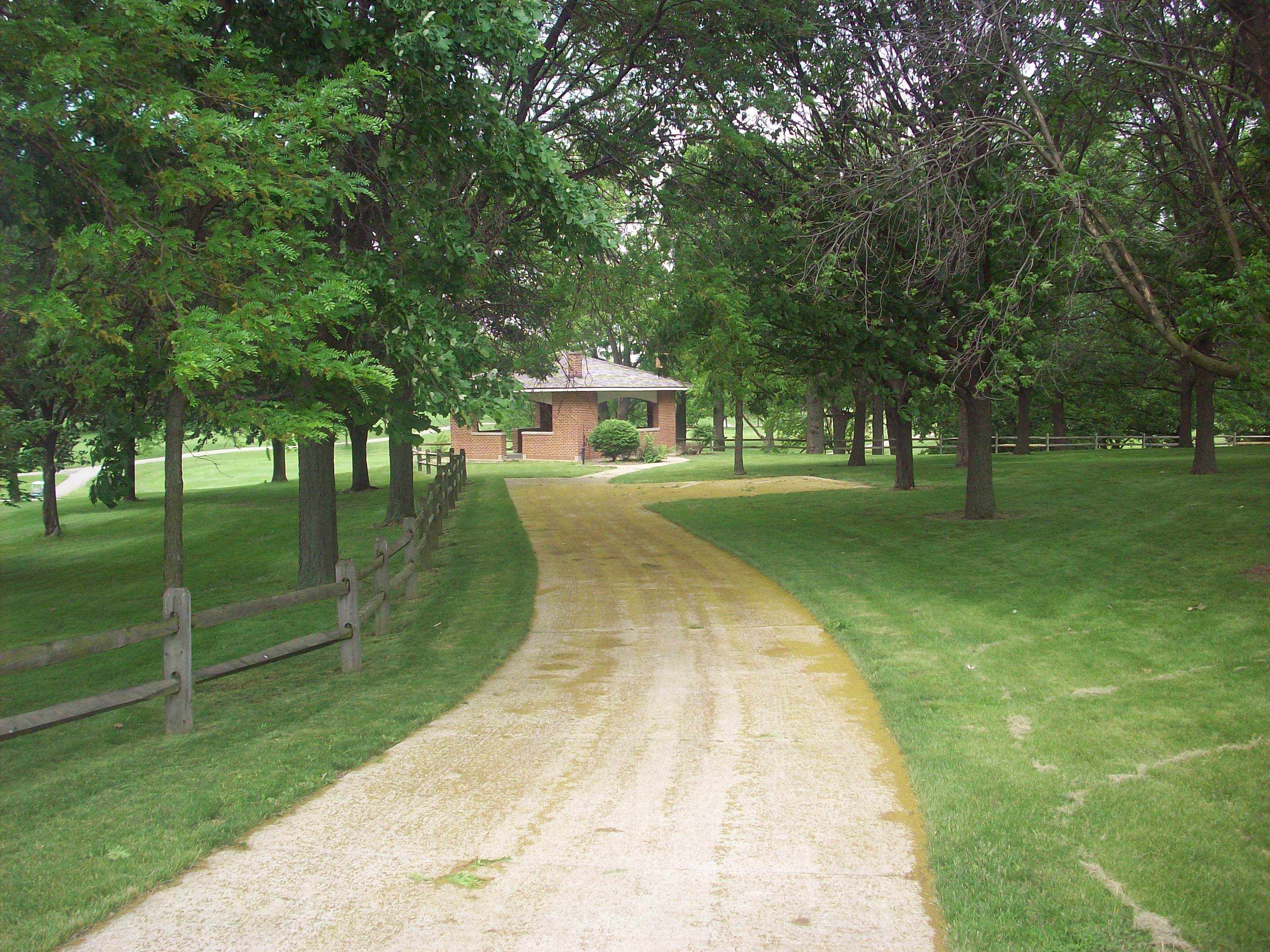
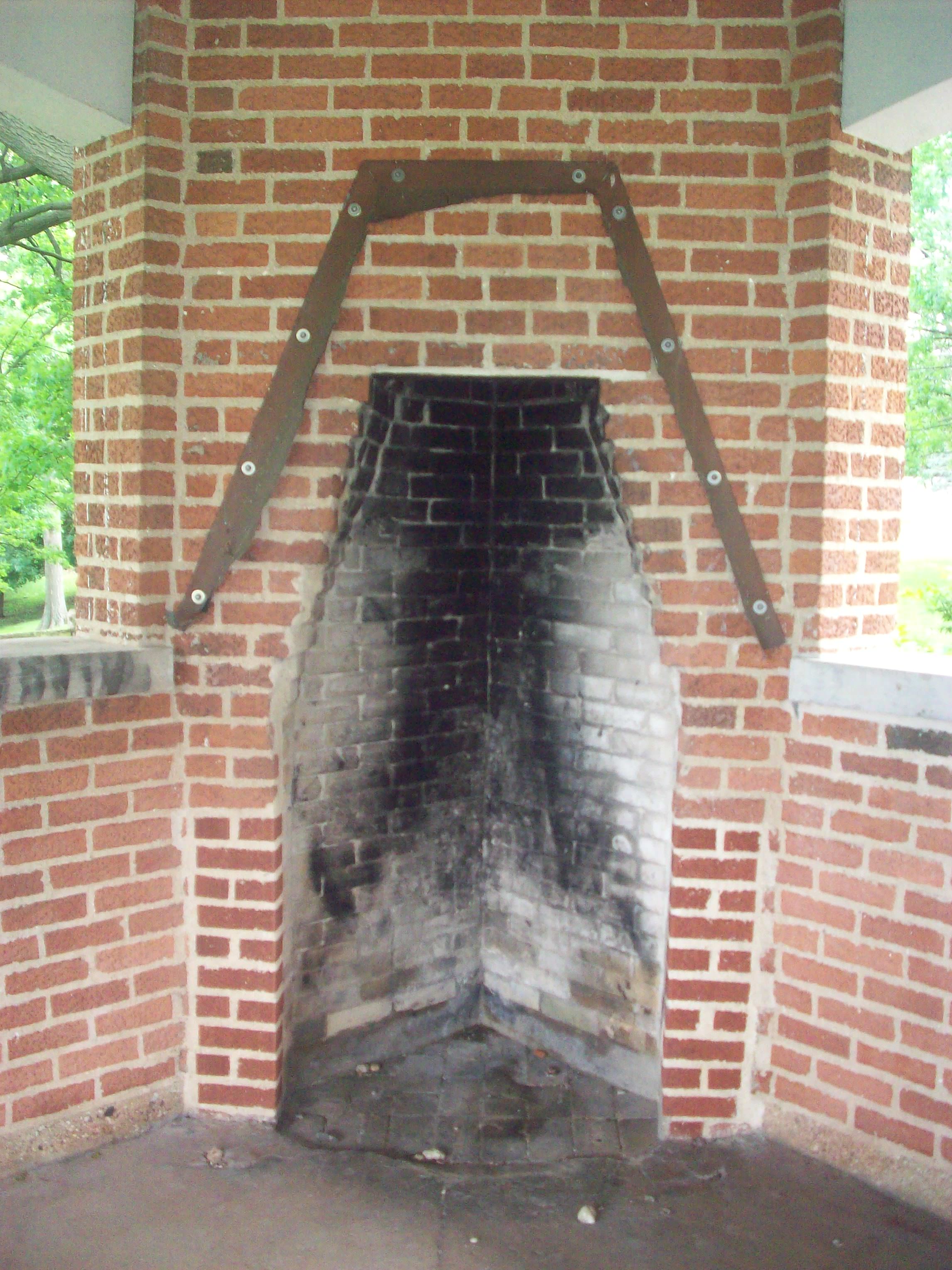
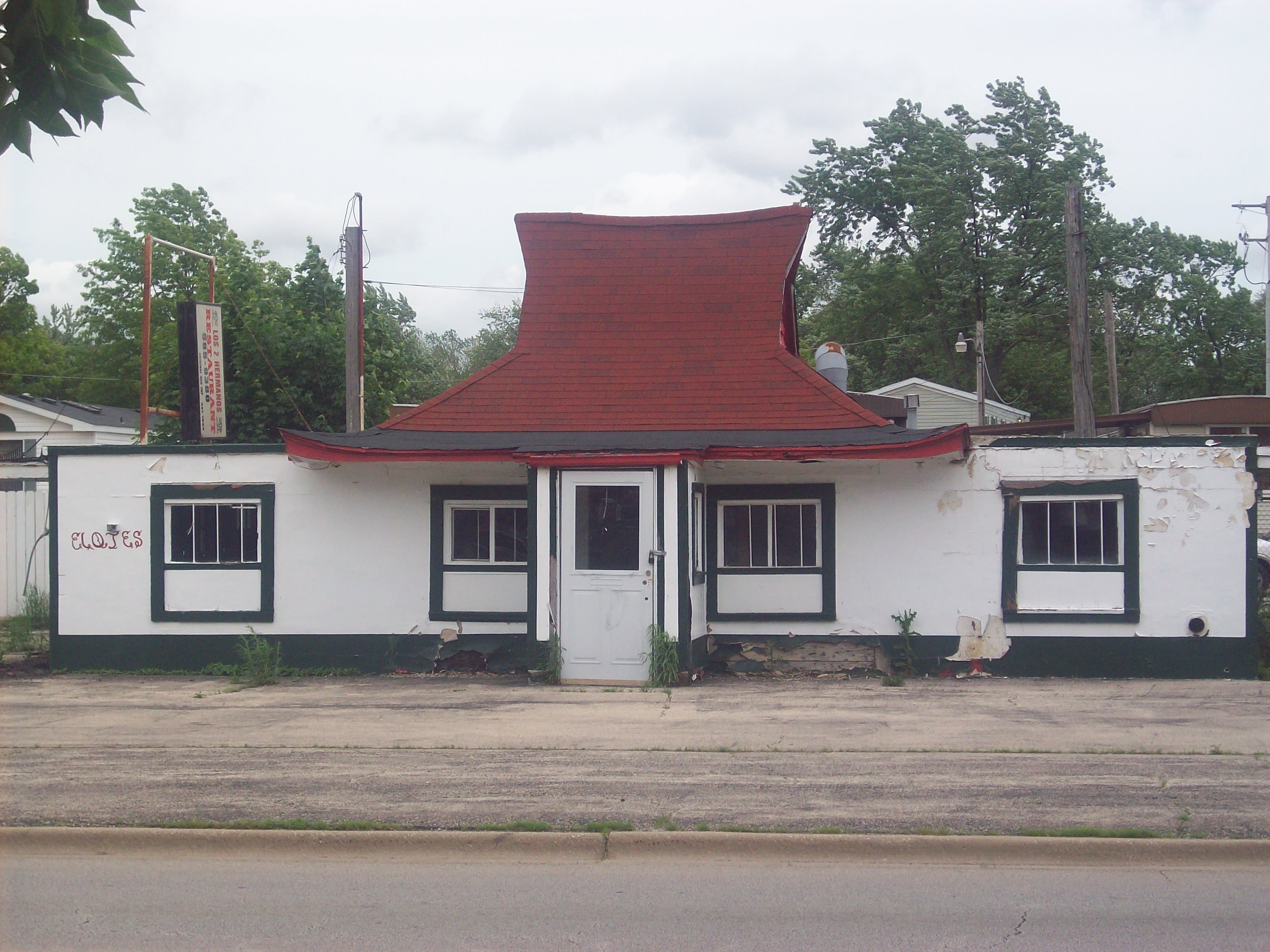
And now what you’ve all been waiting for, here’s a few pictures from this stretch of the road I thought I’d share with you. I’ll be talking about the rest of Illinois in my next post. Enjoy!


Yay! :-)
Some thoughts:
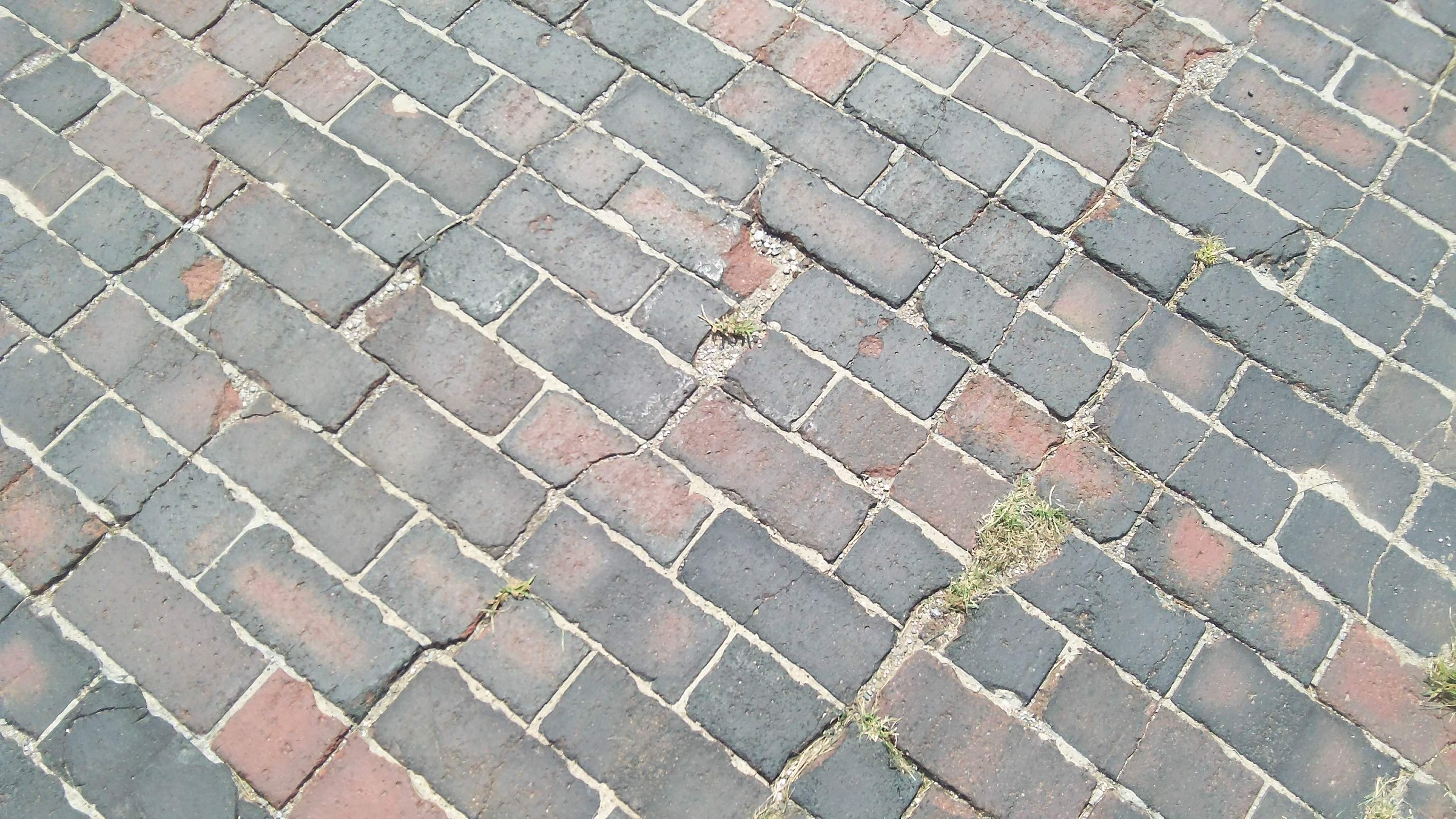
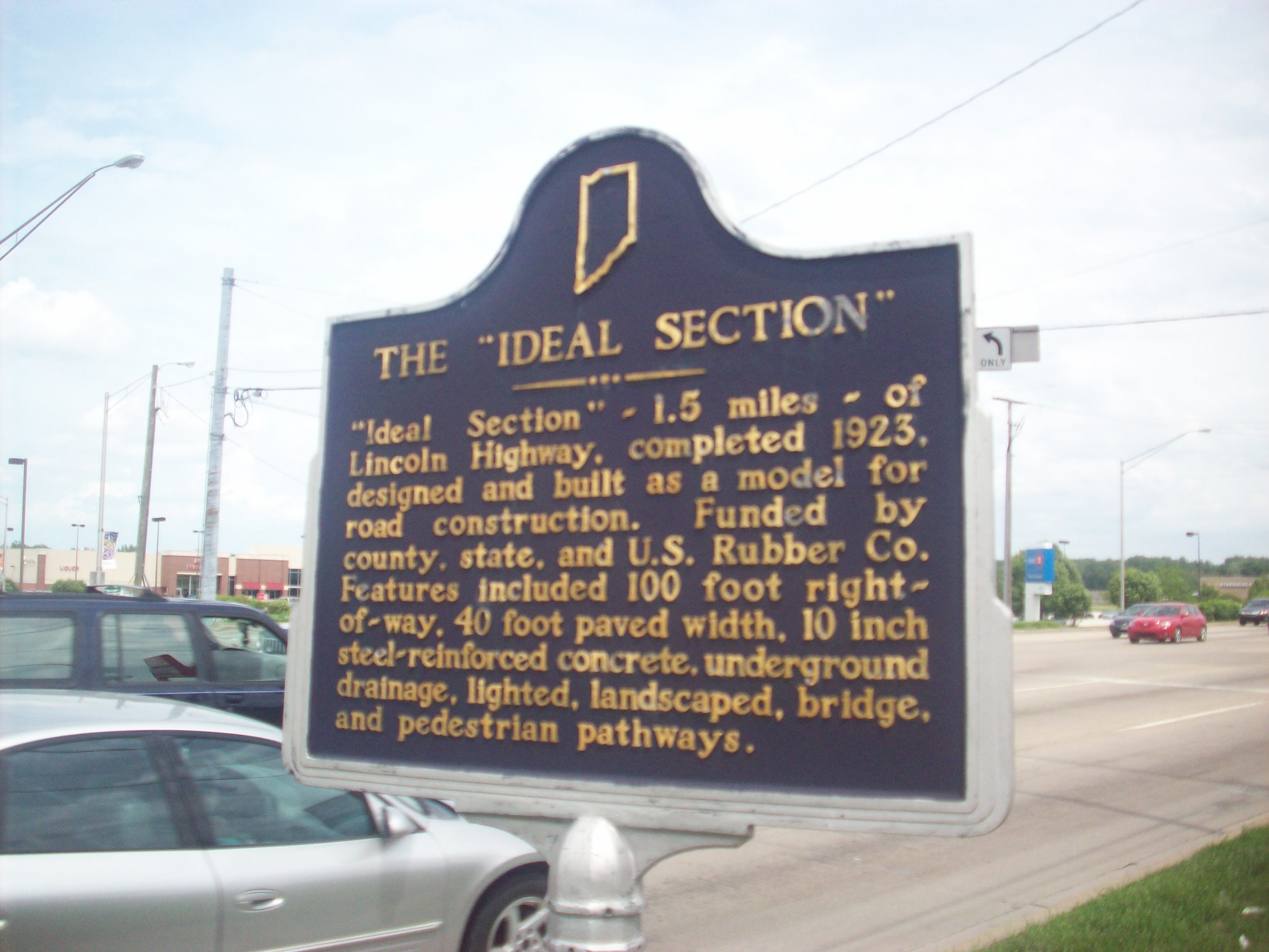
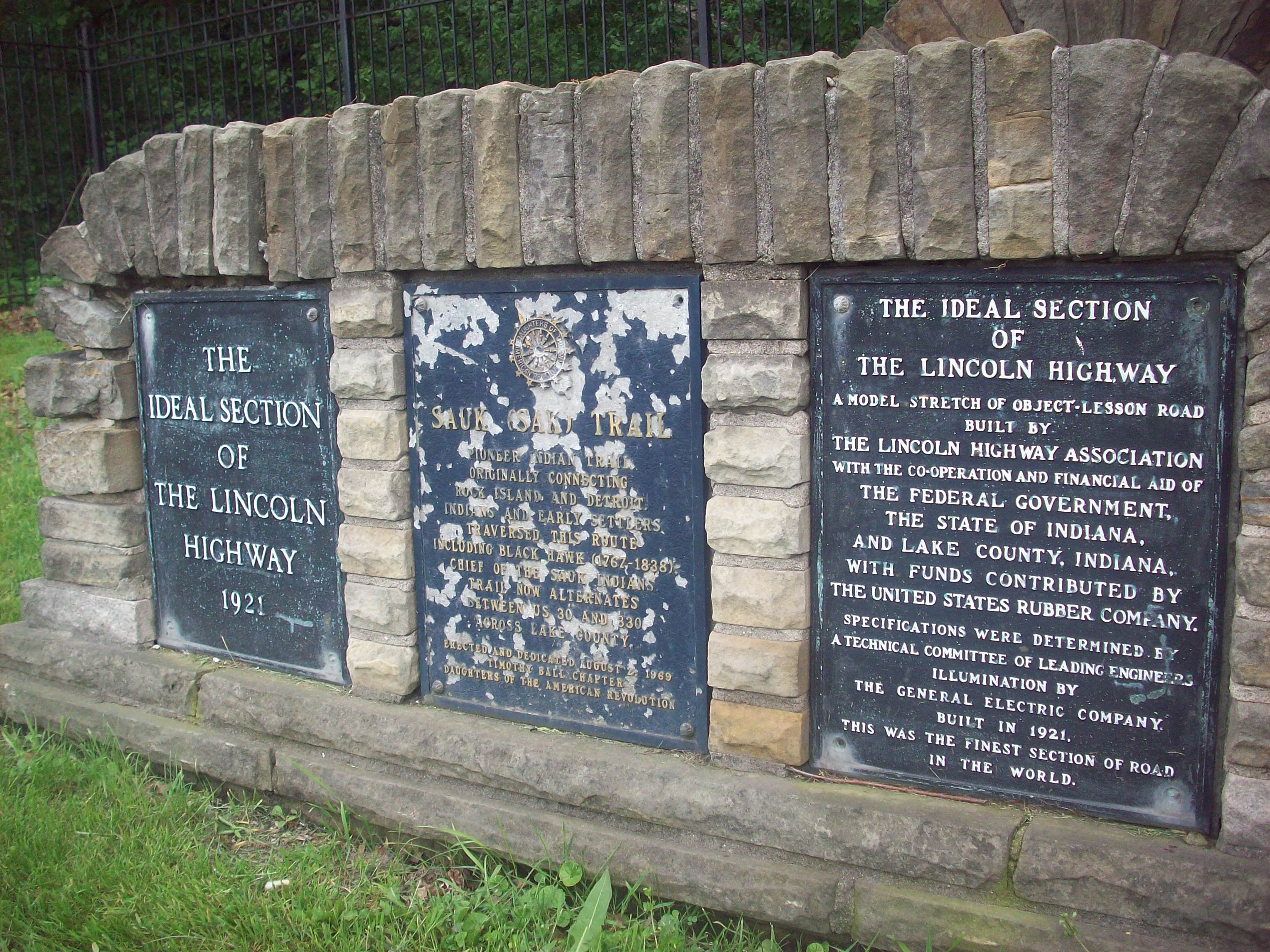
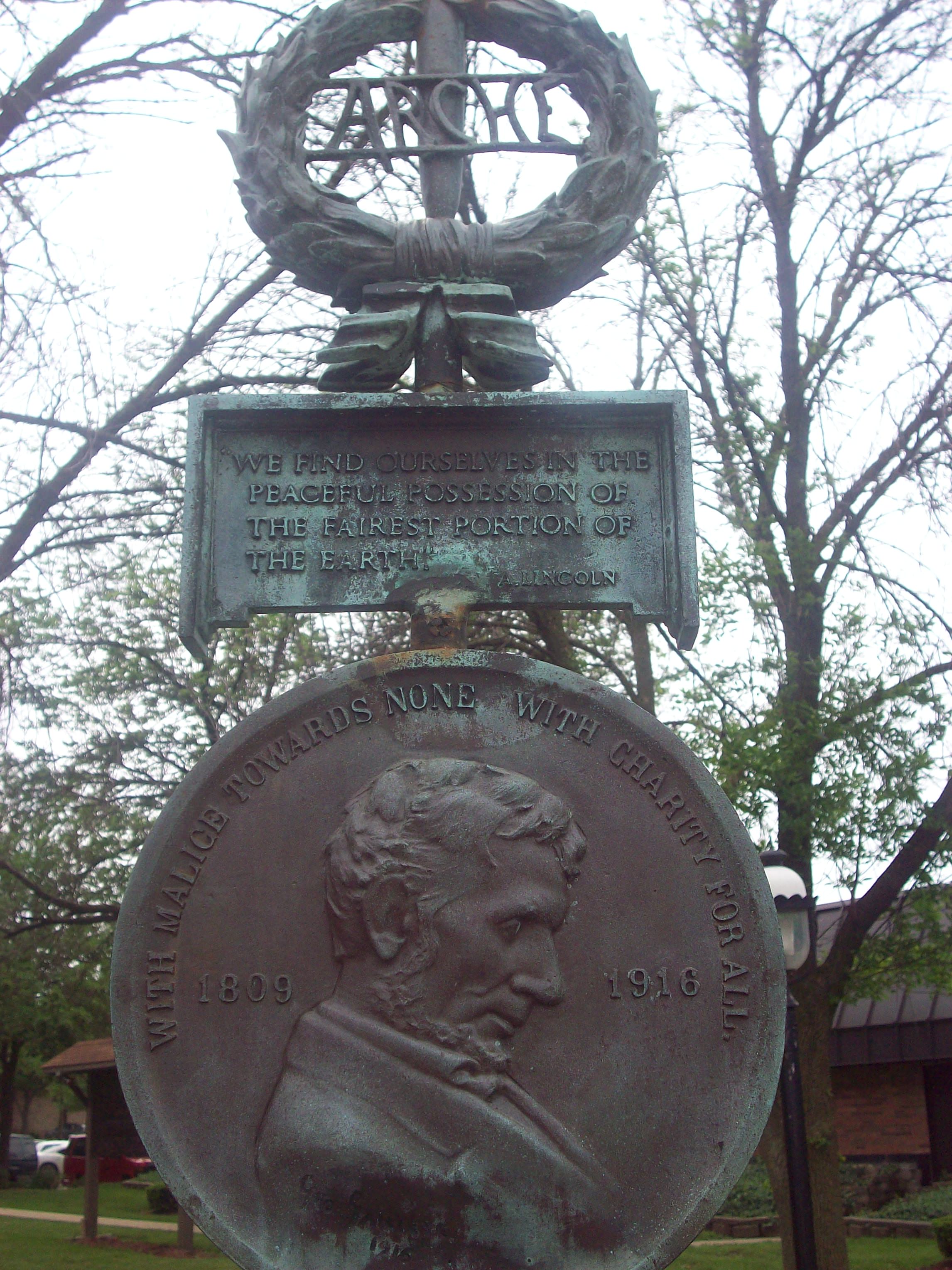
1) It is really cool to see all the variations of the Lincoln Highway through your pictures, from the (various colors of) brick, gravel and paved highway to the two-lane and four-land stretches. It’s funny now, like you note, what was considered the “Ideal Section” back in the early 20th century is now pretty much a standard throughout the country.
2) I’m also fascinated by the different signage from state to state and within states. I think we’ve talked about route markers before and how some states are better and more consistent at marking than others.
3) I love all the neat little facts such as the camping shelters that you mention – I had no idea about that aspect of the LH’s history. But that makes total sense because how else would cross-country travelers spend the night back in those days? It makes me think of my mom and her family who used to camp out on the beach every year when going on vacation in Ocean City and Myrtle Beach. We kids were spoiled staying in a motel!
4) Route 66 and the LH are the same road for a brief stretch?! *mindisblown*
5) Admittedly I don’t know a lot about the Dixie Highway (Route 66 to some degree too) – I am intrigued!
Wow, those are some awesome thoughts Jennifer, thanks!! When I think about what pieces of information people might want to know, I really try make sure it’s interesting but not overwhelming. There’s been so many changes and cool things along the route, it can be hard to keep track of it all.
When the highway came through, the hotels couldn’t keep up and usually they ran out of rooms quickly in most places. People started camping on the outskirts of towns because some people didn’t want those “vagrants” camping in town. These camping shelters were a way to direct this traffic so they wouldn’t camp all along the route, they could camp in a section instead. The Lincoln Motor Court in PA was originally a campground, and then it turned into the Motor Court that you see preserved today.
It is pretty cool to see the multiple routes together in Illinois! Carl Fisher helped start the Lincoln first, and then he helped spearhead the Dixie Highway a couple years later. It’s interesting to note that from Chicago to Miami is roughly 1500 miles, but when you combine all of the feeders and auxiliary roads, there is over 5,000 miles of Dixie Highway! Crazy isn’t it?
Look for more to come-I’m going to try and post something every day while the wifi is good to get caught up. :-)