• Skip to main content
  • Skip to primary sidebar

An American Songline

Journeys in Vintage Music with Cecelia Otto

  • About
    • An American Songline
    • Cece’s Story
    • Accolades & Press
  • The Programs
    • Prohibition
    • Centennial of Suffrage
    • The History of Early American Song
    • A Celebration of America
    • A Musical Journey Along the Lincoln Highway
    • The Songs of World War I
    • Video
    • FAQ
  • Shows
    • Current Tour & Show Dates
    • Book Cece
    • Testimonials
  • Blog
  • Store
  • Contact
    • Get Updates
    • Press Kit
    • Get Crowdfunding Support

Venue

Wonderful Wyoming Part One: Eastern Highlights

January 24, 2014 by Cece

And now back to our regular travelogue posts…

While the weather outside is cold in a lot of places, I thought it would be fun to hearken back to warmer days of August.

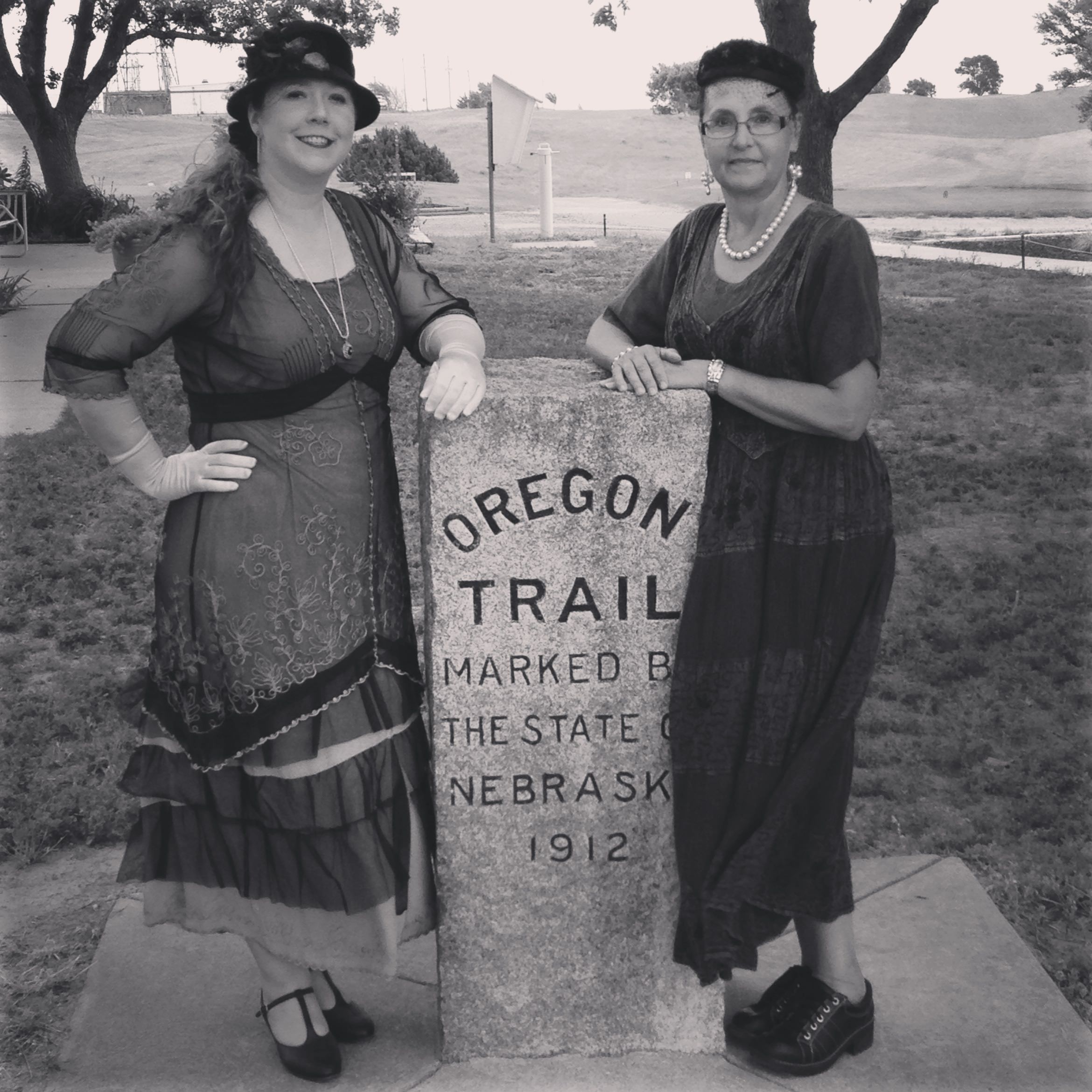
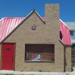
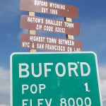
After a break from the road in Colorado, I was eager to get back on the road and finish the tour. I had 3 performances in Wyoming (Laramie, Rock Springs, and Evanston), and they all proved to be amazing on so many levels.

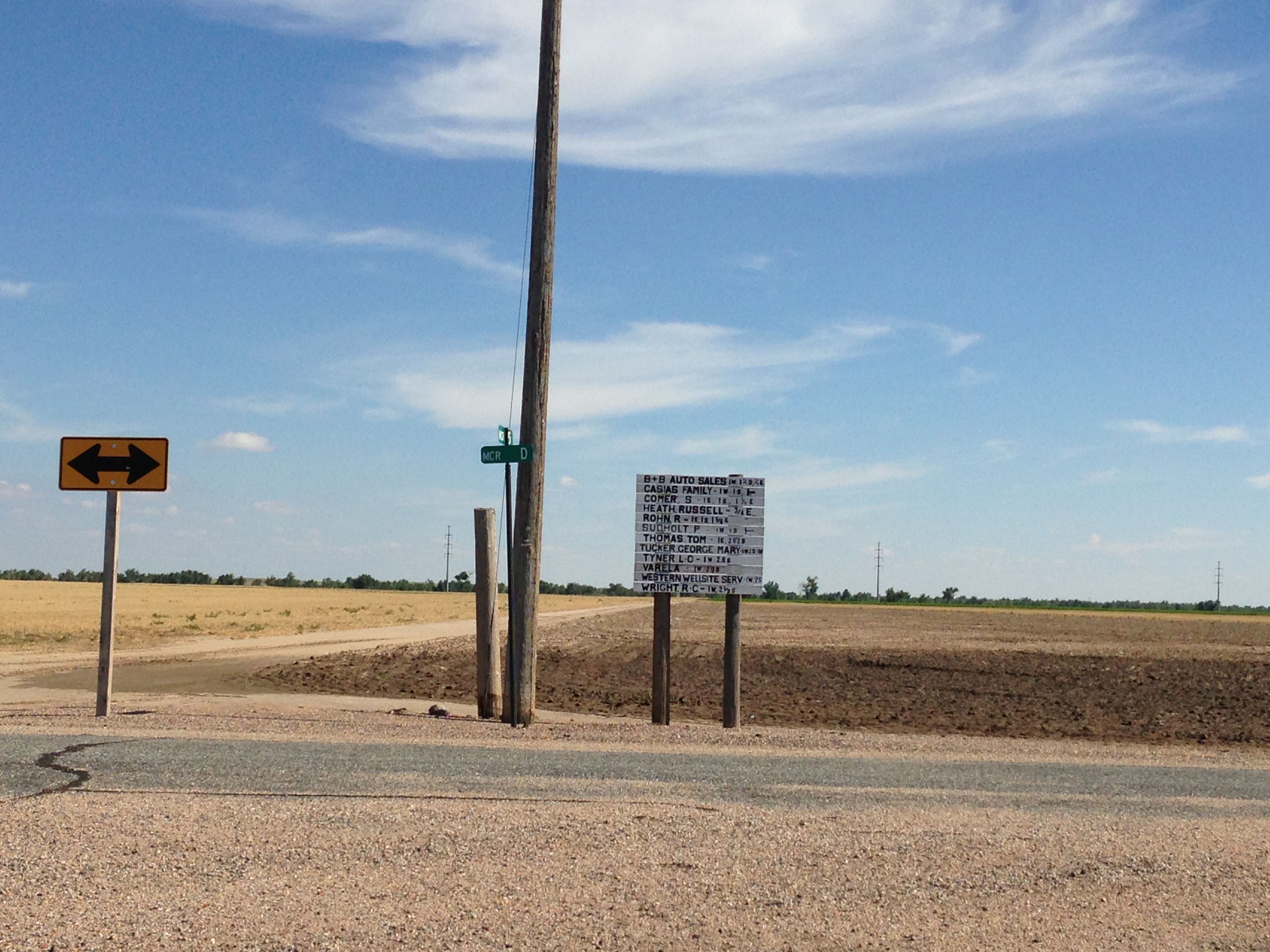
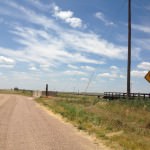
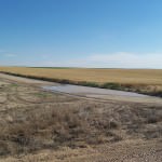
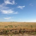
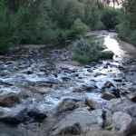
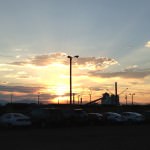
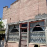
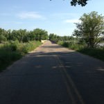
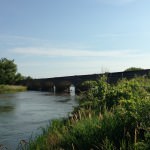
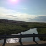
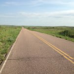
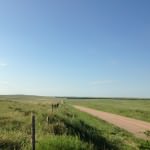
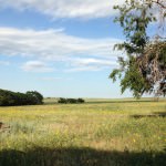
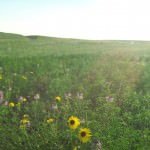
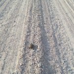
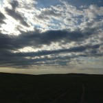
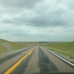
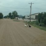
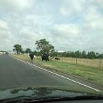
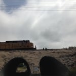
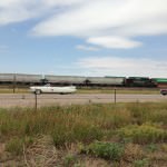
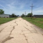
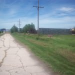
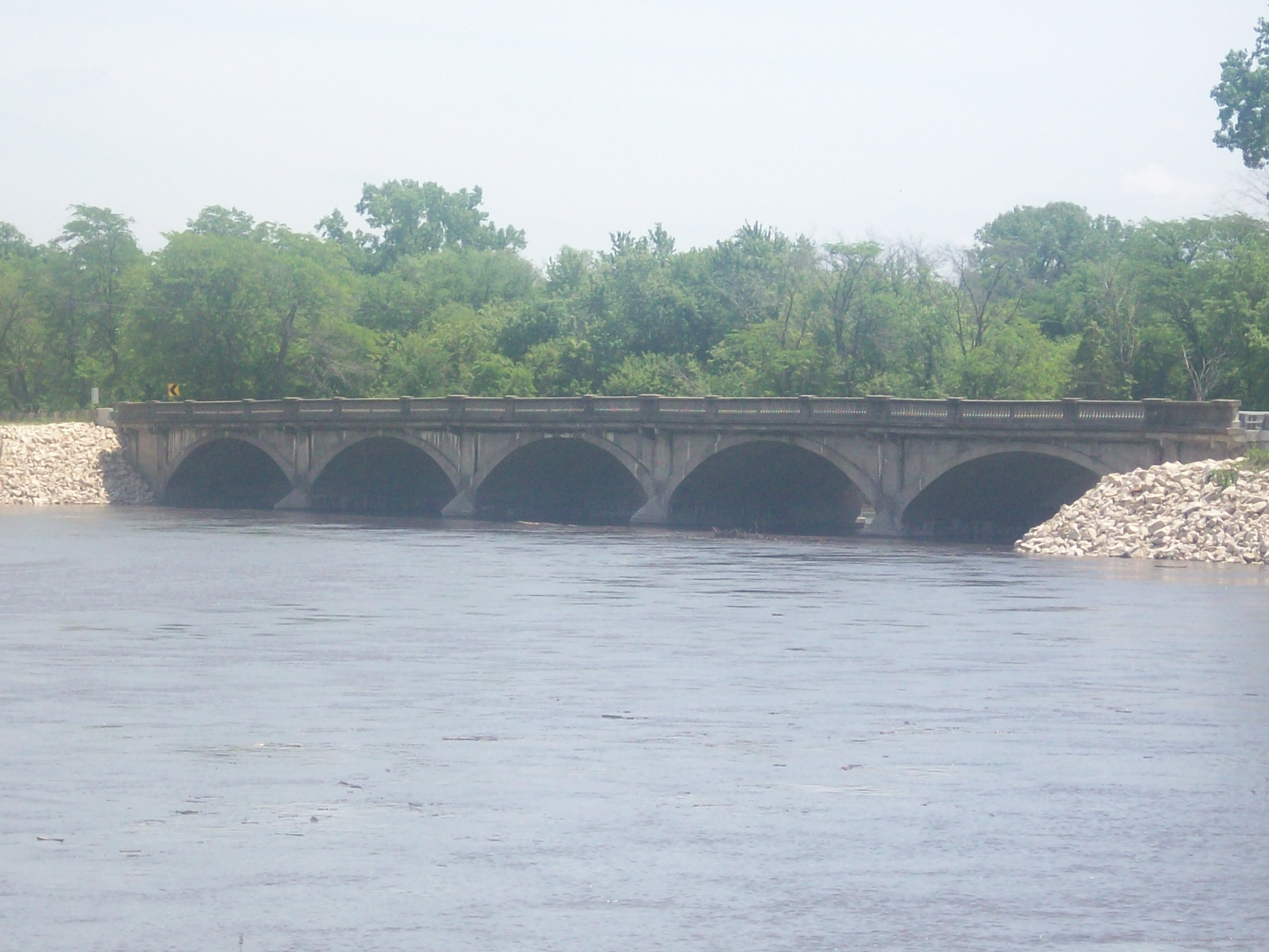
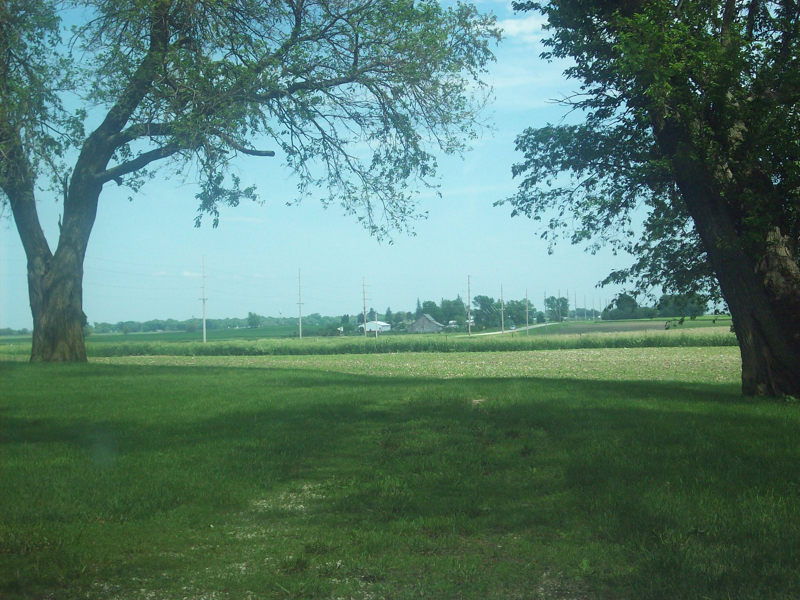
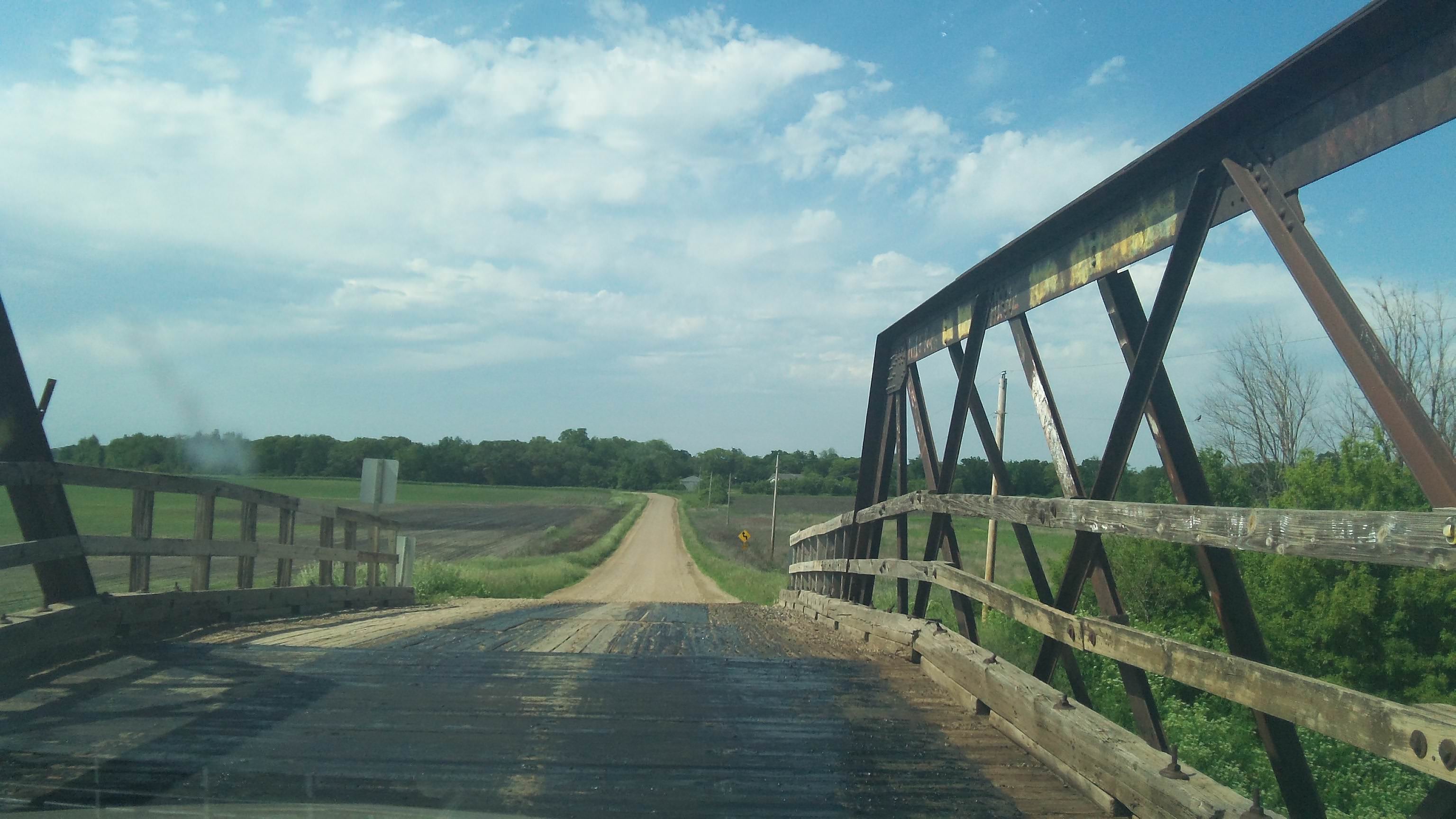
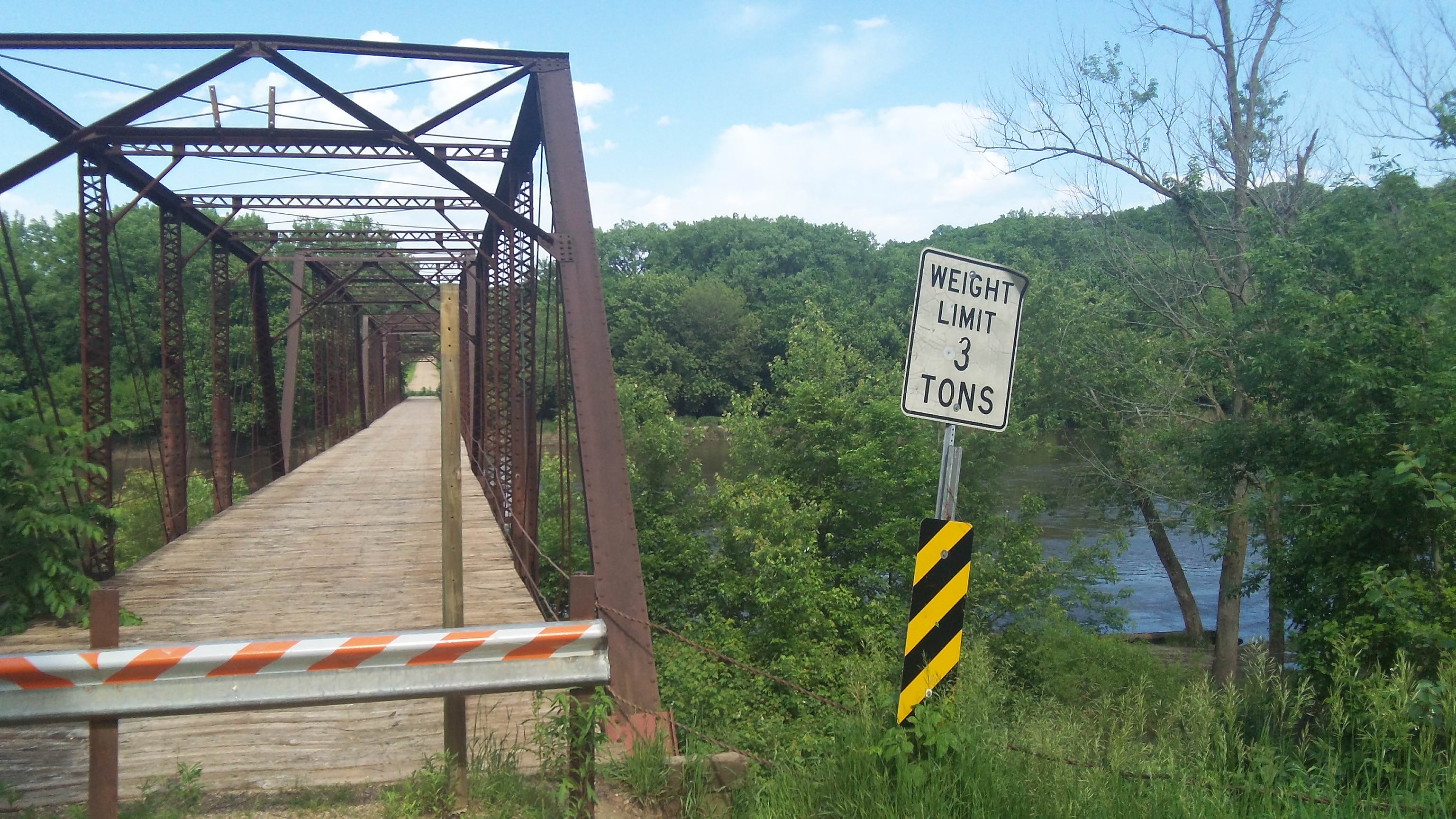
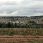
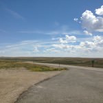
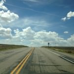
Driving the route in Wyoming proved to be pretty fascinating as well. Similar to what Michael Grass noted in this post, I found sections of Wyoming not on the interstate to be more isolated than what I noticed driving in Nevada (so much for it being America’s “Loneliest Highway”). With Nebraska and Colorado, you know that you’ll run into towns/populations of people regularly along the route. In Wyoming, this all changes. You’re checking your gas tank with every town you drive through to make sure you might have enough, especially if you’re thinking of off-roading it. The sky and the road would blur together at times (especially in the Medicine Bow Loop), and there were times that I thought I was driving into the sky itself.

Here’s 10 favorite memories of Eastern Wyoming:

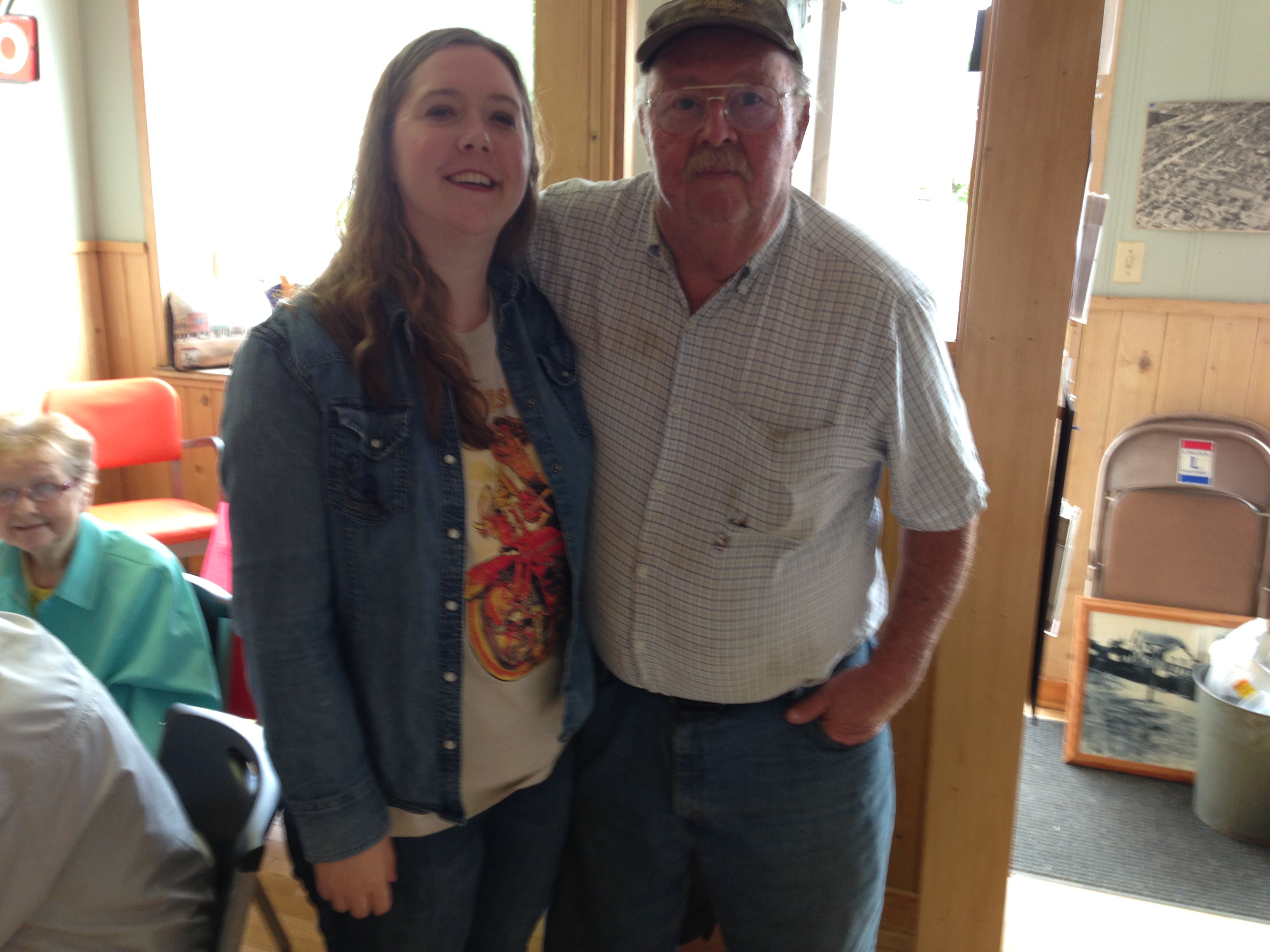
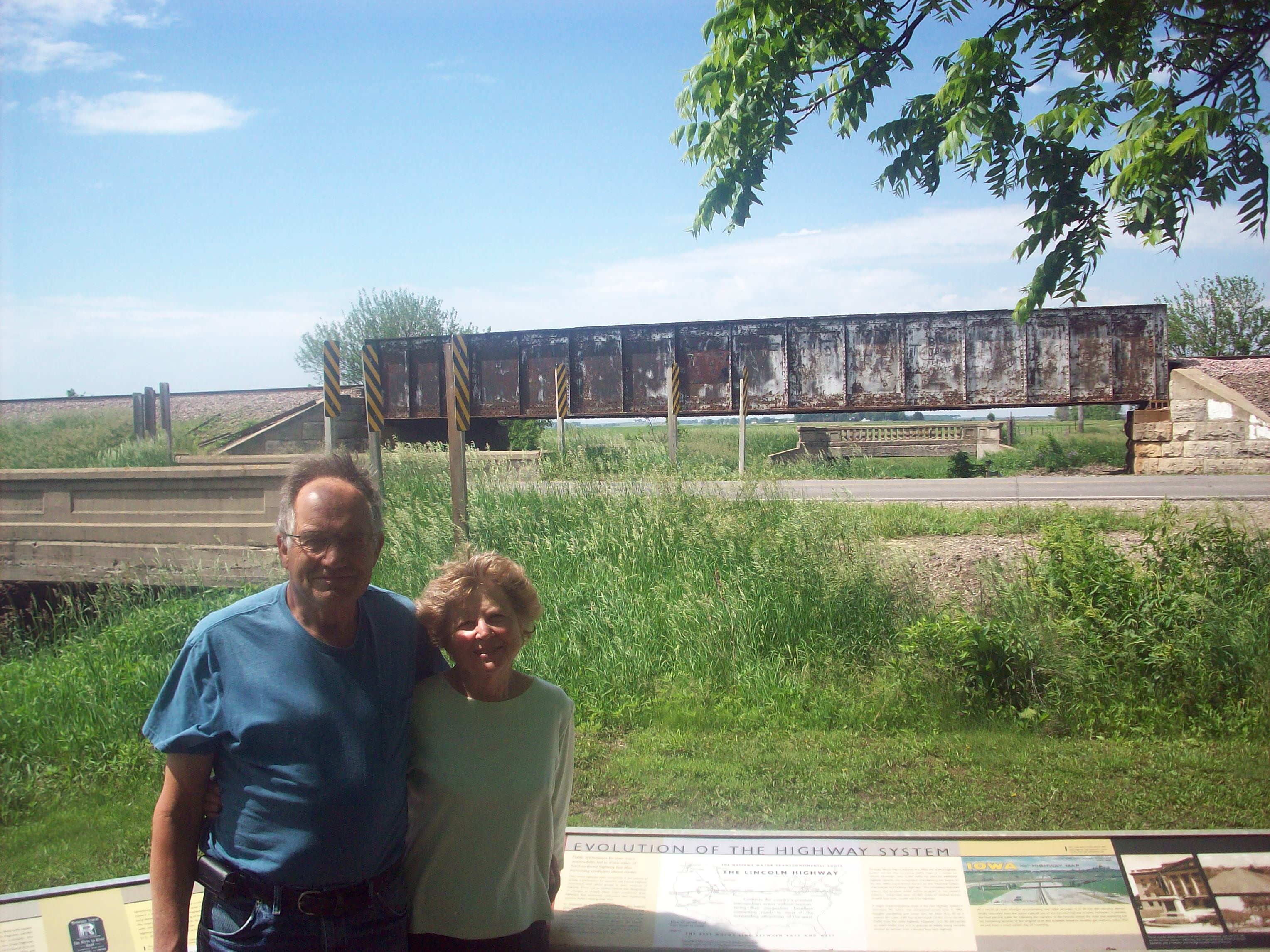
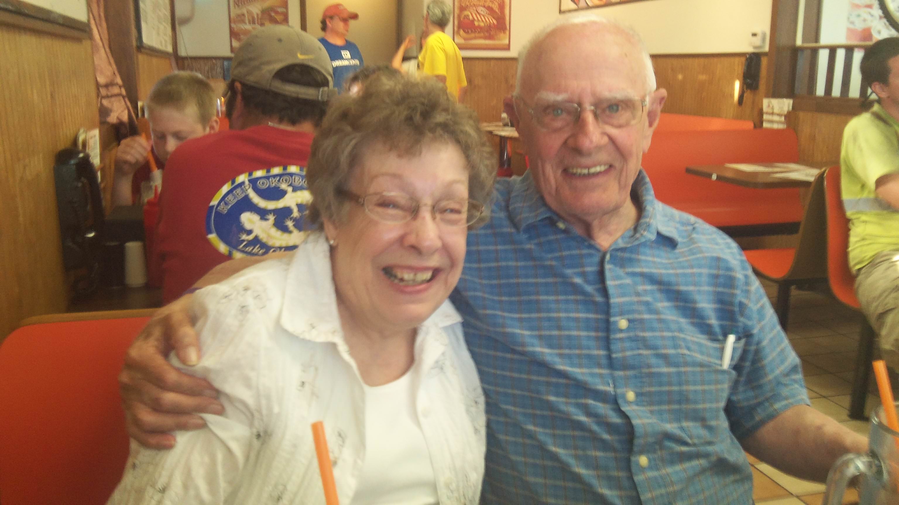
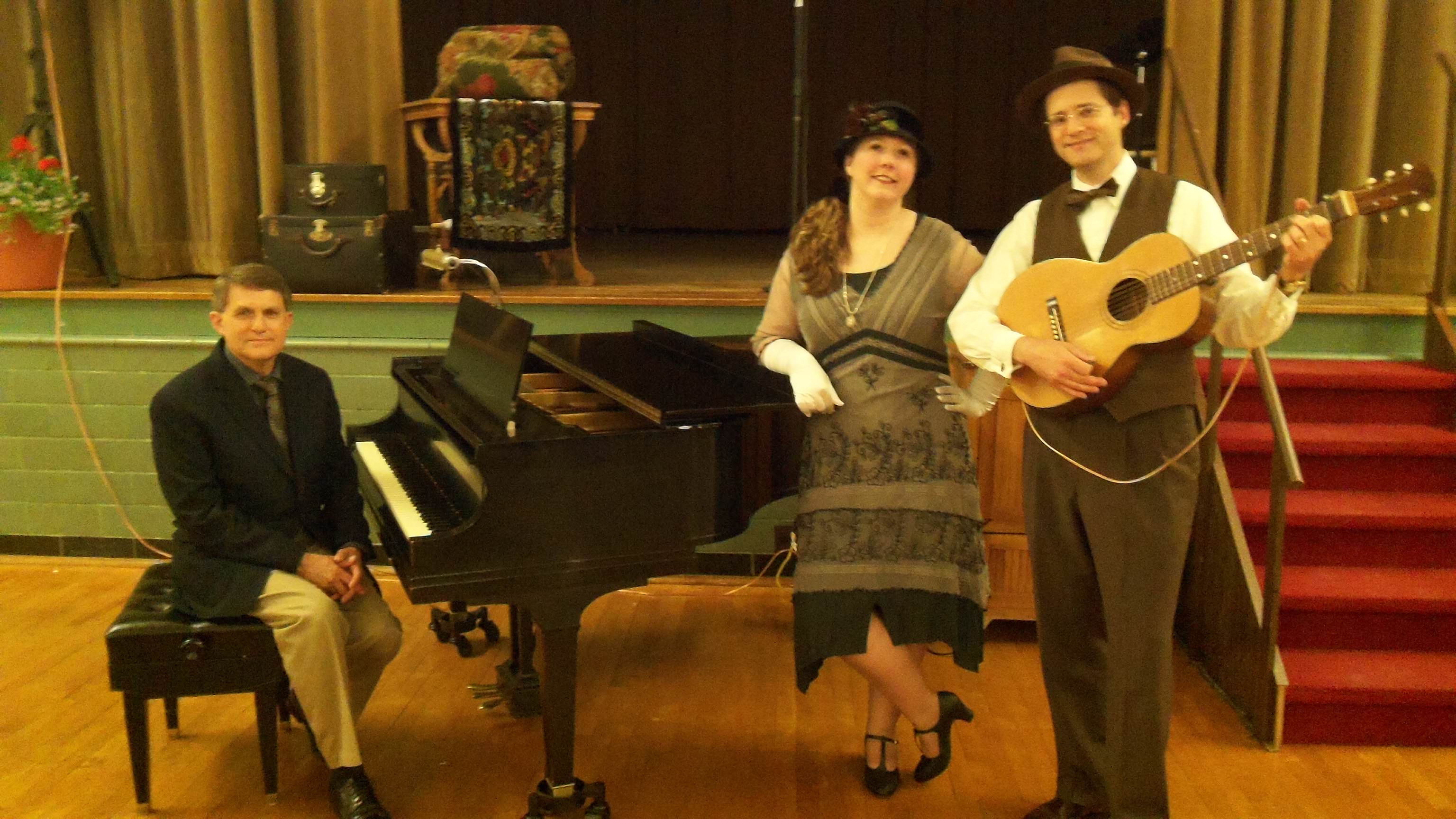
1) I spent most of my time in Laramie, and I have to say the people were so warm and lovely. My dear friend Jen was an instrumental person to this part of the tour, and I wish there were more people like her in the world. It was wonderful to have the chance to sing with her again, and I hope that if you are in Laramie you’ll get the chance to hear her sing.

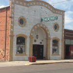
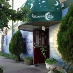
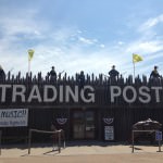
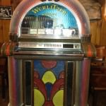
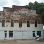
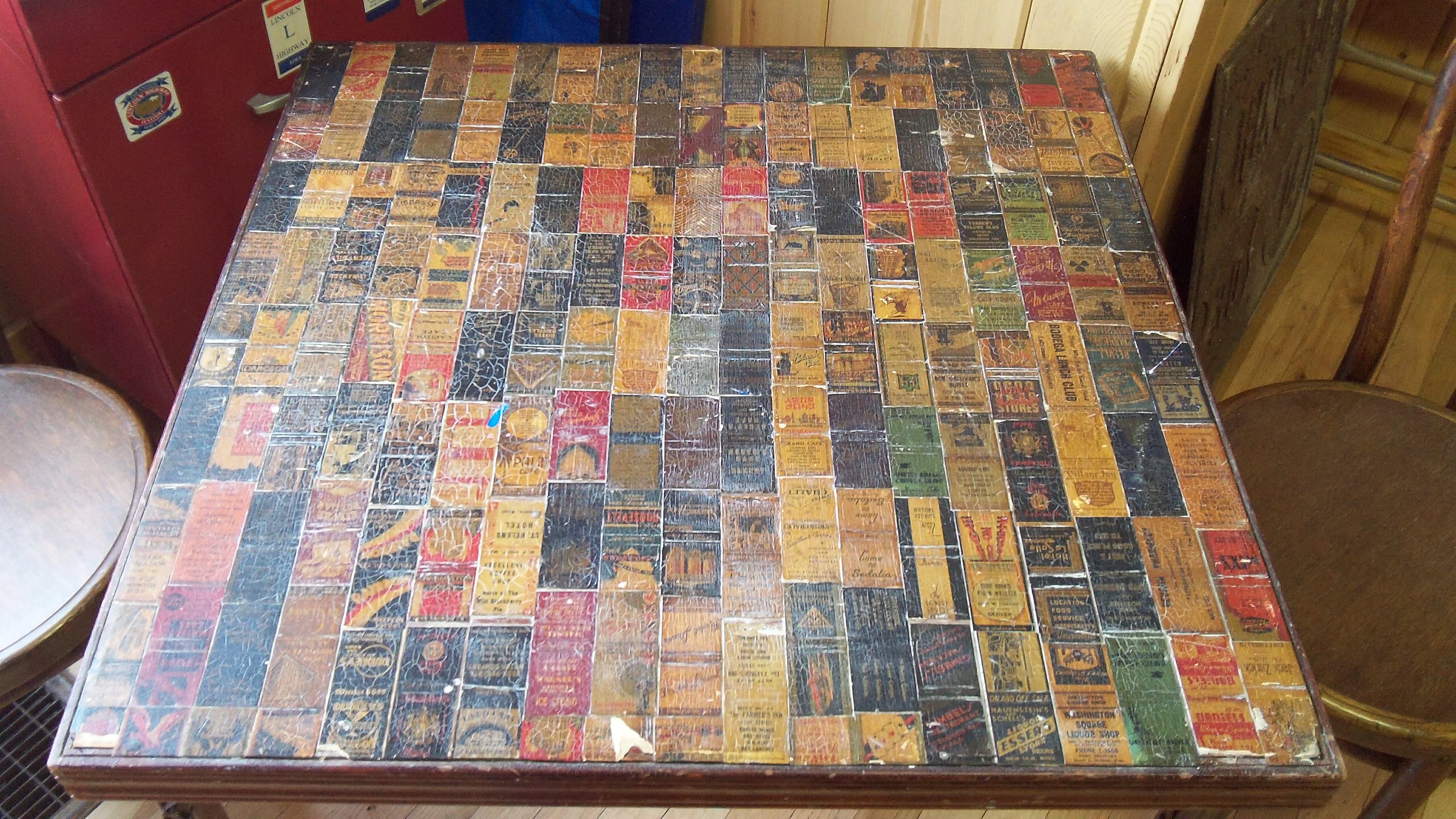
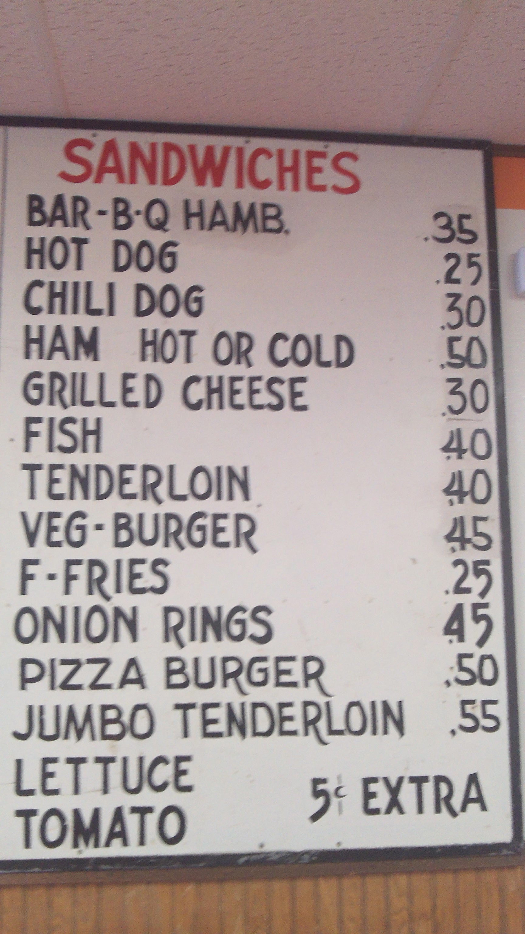
2) The bullet holes in bar mirrors at the Buckhorn Bar.

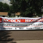
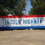
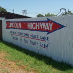
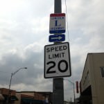
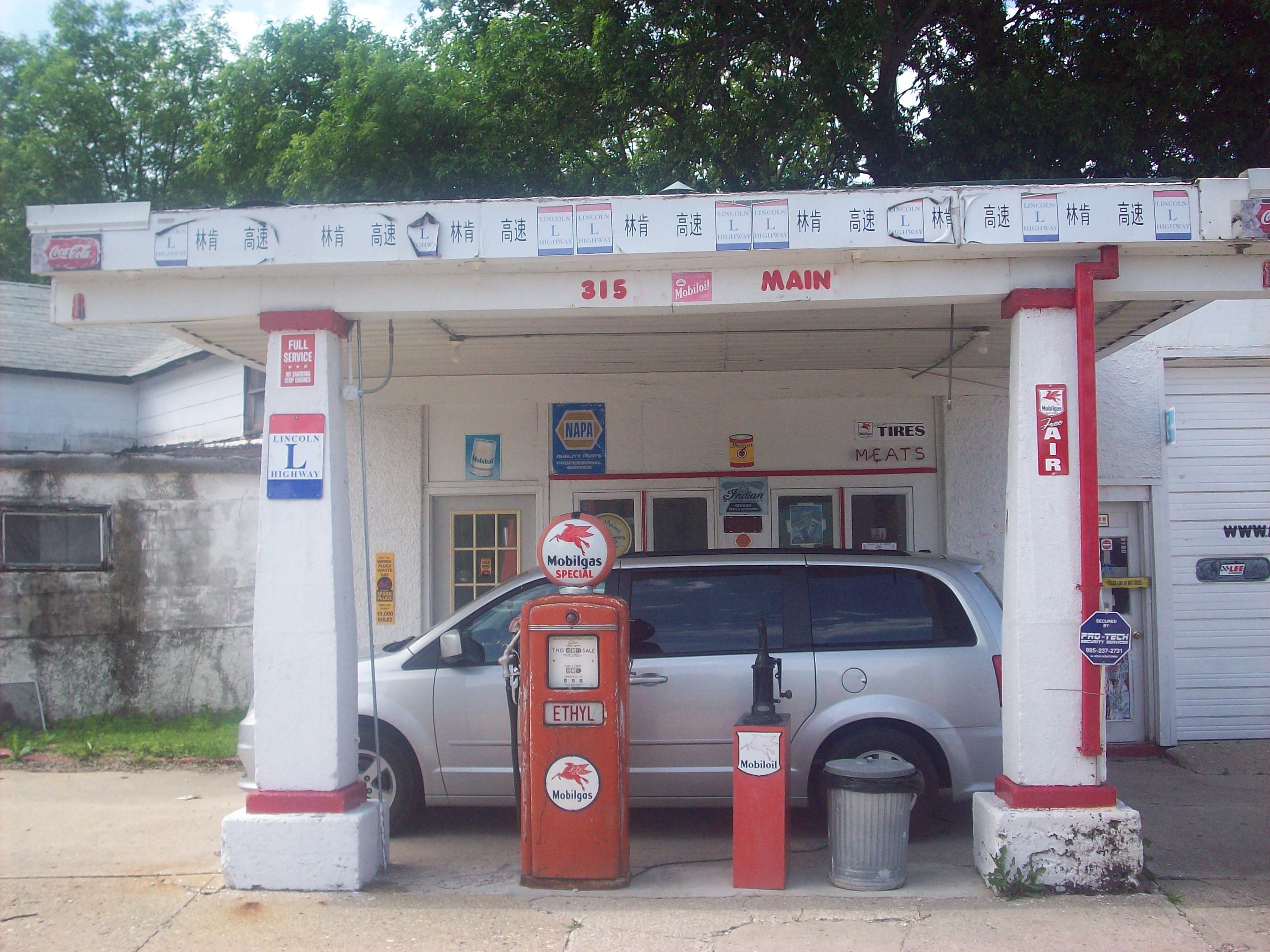
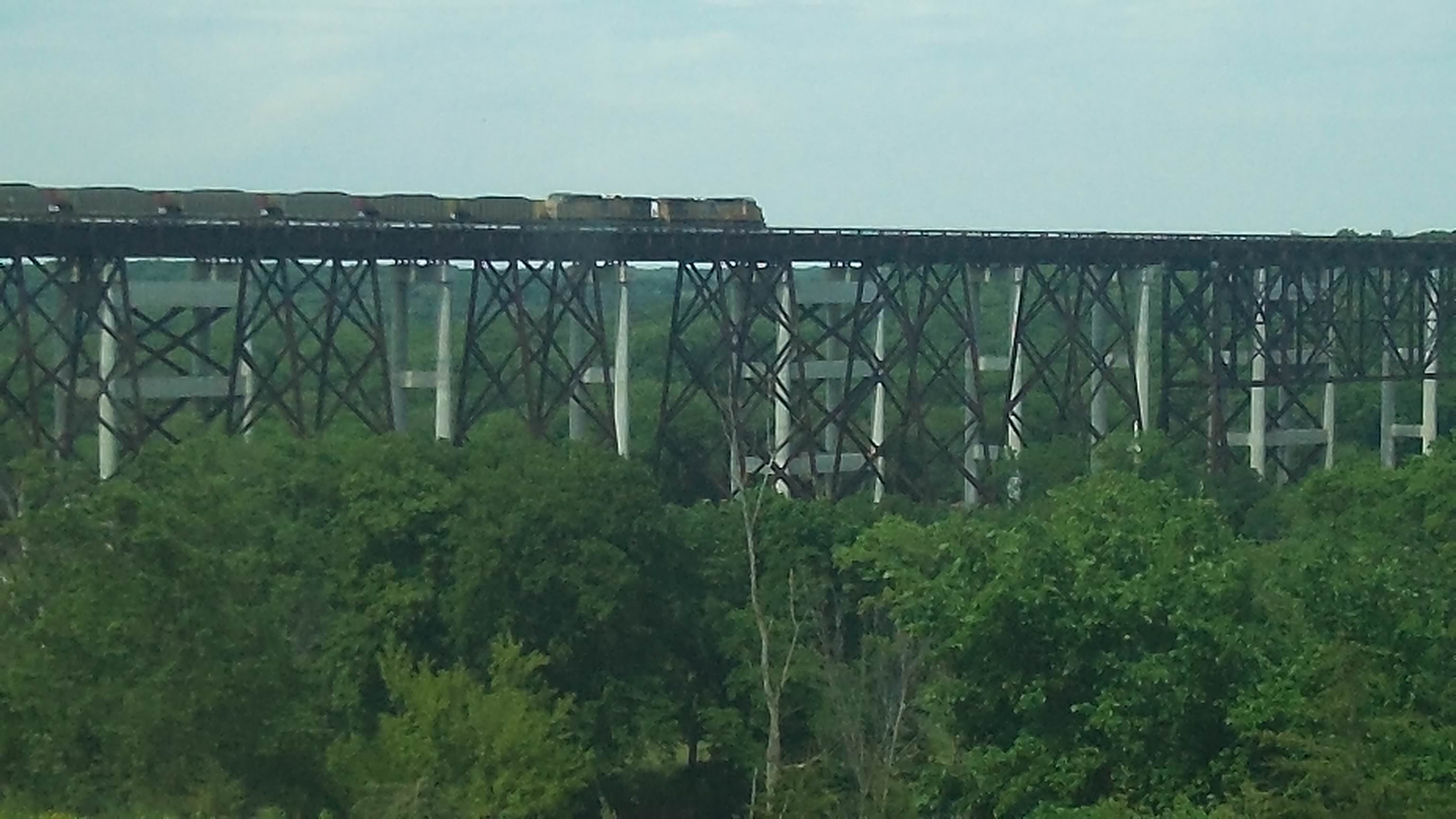
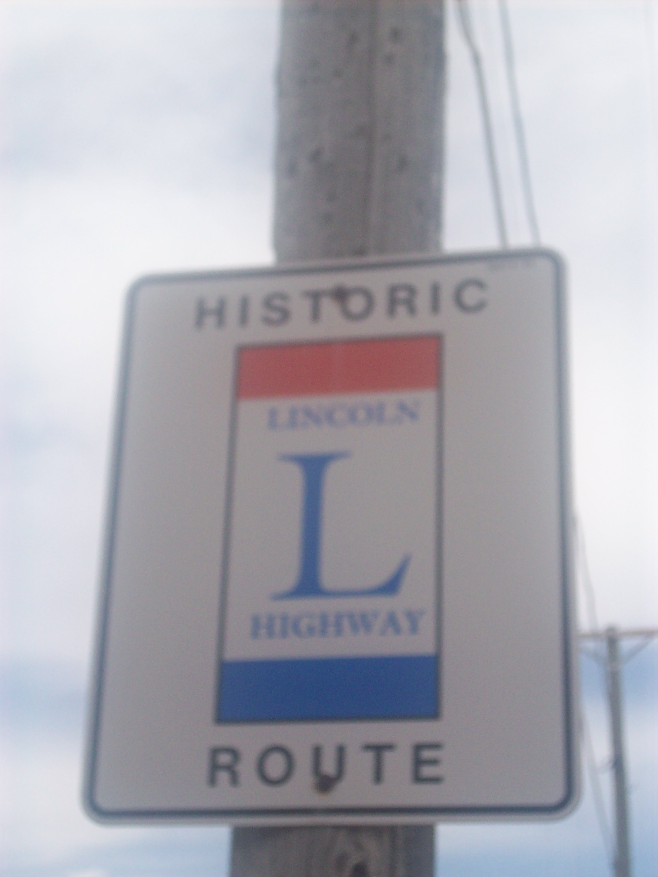
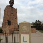
3) Driving my first section of real interstate on this tour again (parts of the Lincoln are directly under I-80), and really feeling weird about it.

4) My interview on Wyoming Public Radio was a blast!

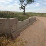
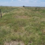
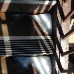
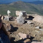
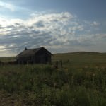
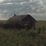
5) The Medicine Bow loop. Everything about this stretch of the road is remarkable. You will definitely get a taste of what it was like to drive the Lincoln 100 years ago in this part of the route.

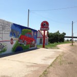
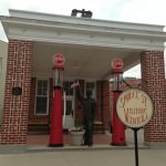
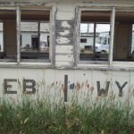
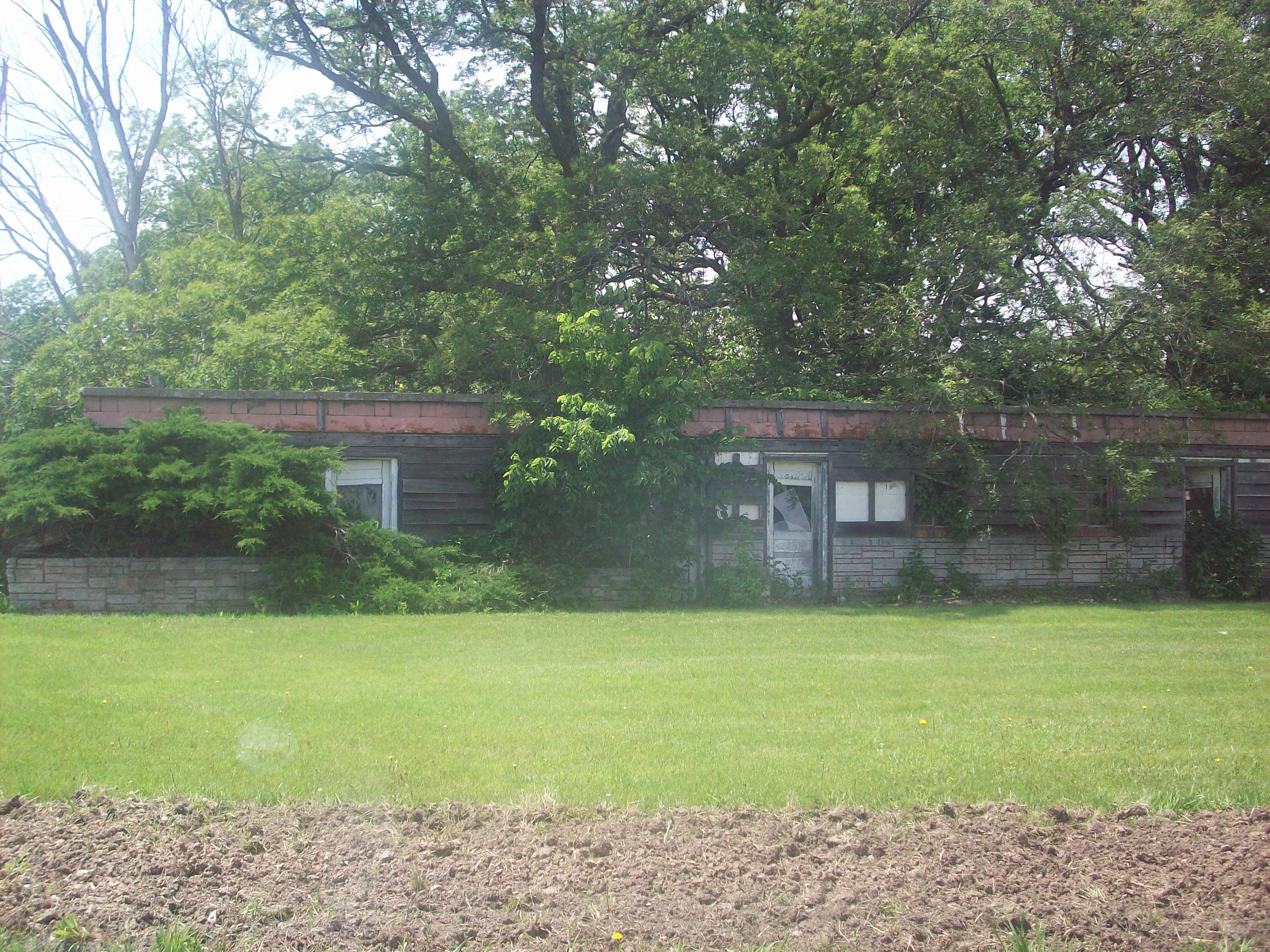
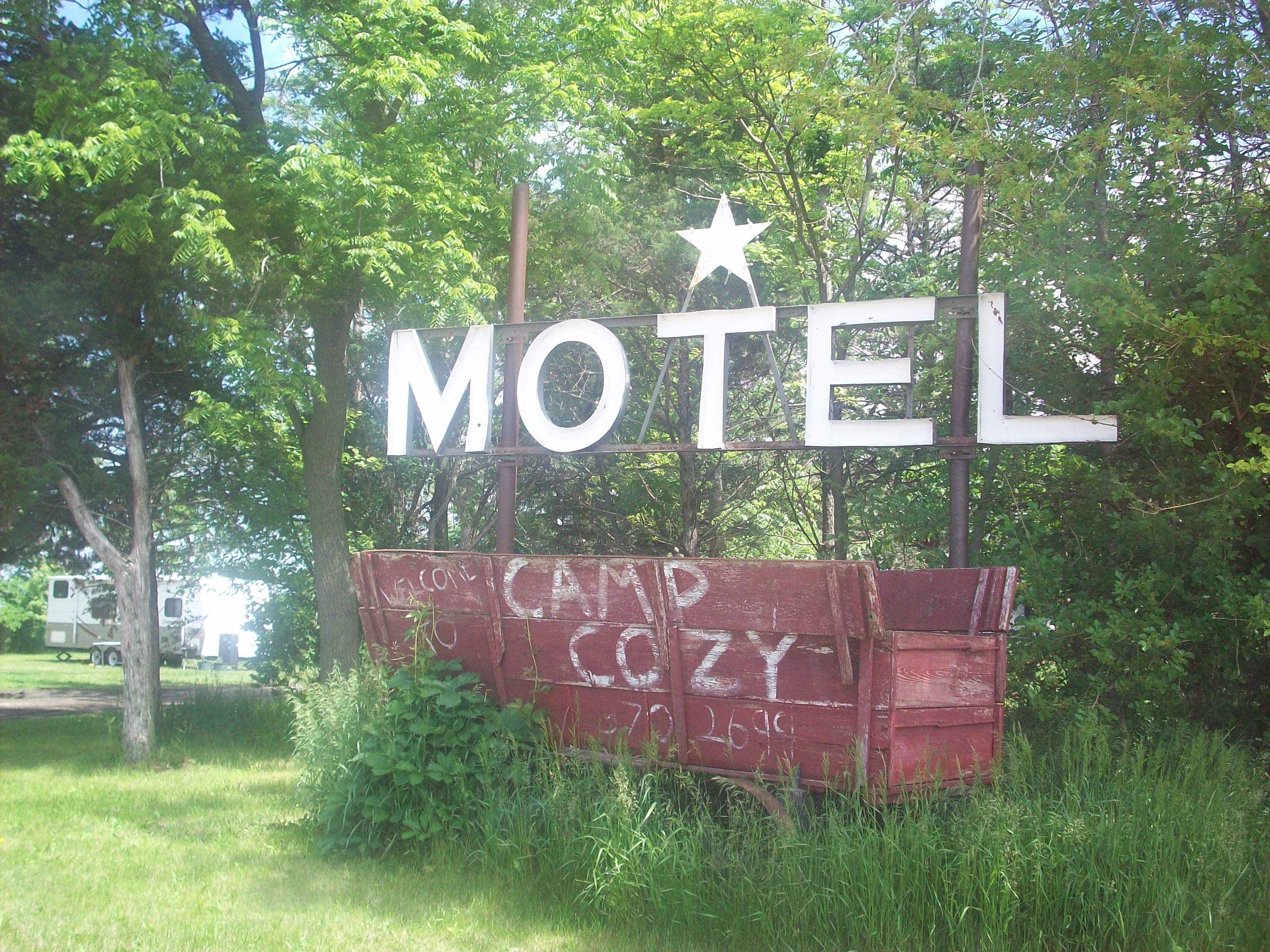
6) The abandoned gas station at the Nebraska/Wyoming State Line (you can see a photo of it in my Western Nebraska Post).

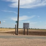
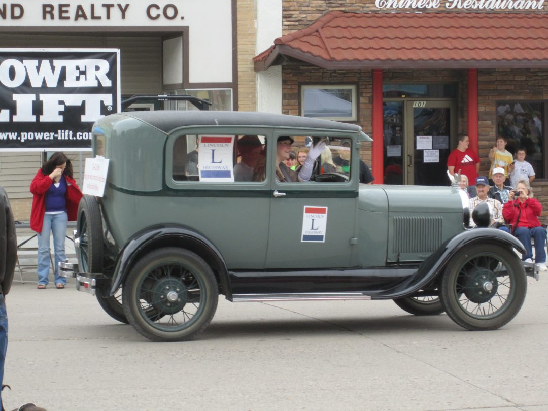
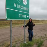
7) That part of the Lincoln Highway is called “Otto Road”! It’s just west of Cheyenne.

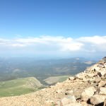
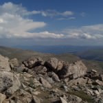
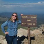
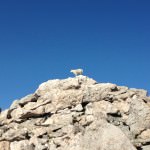
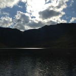
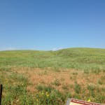
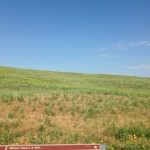
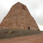
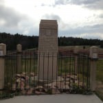
8) Standing at Sherman Summit on the original route – the view was breathtaking.

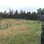
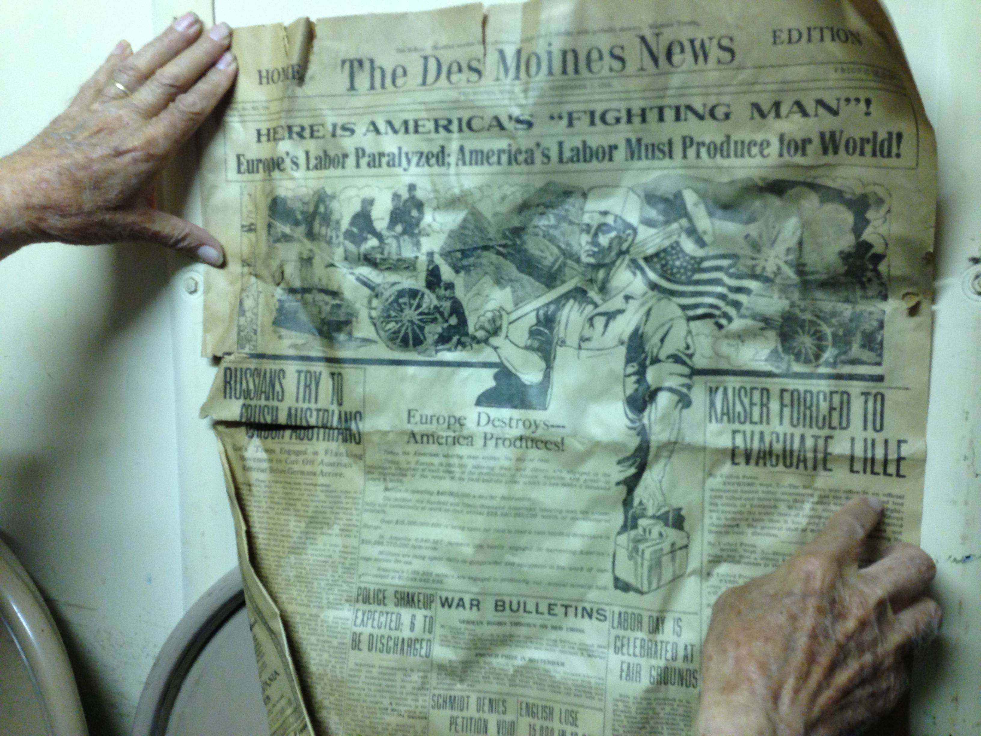
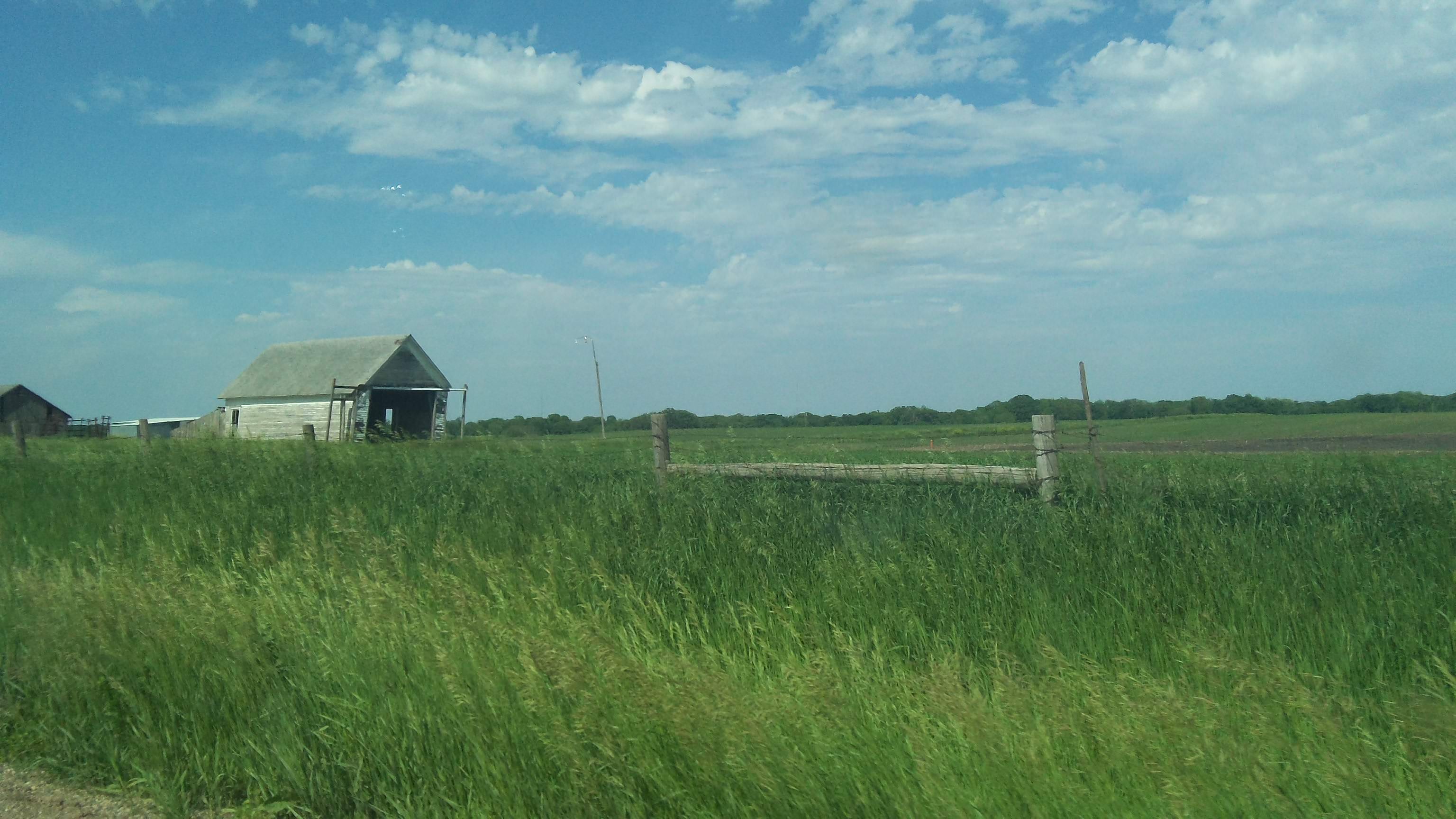
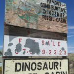
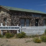
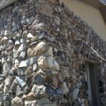
9) Stopping at the Fossil Cabin and listening to the wind rumble across the land. The cabin is awesome, and again the view is quite beautiful.

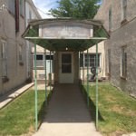
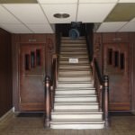
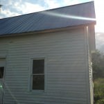
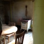
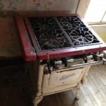
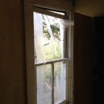
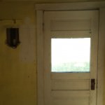
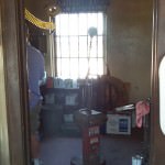
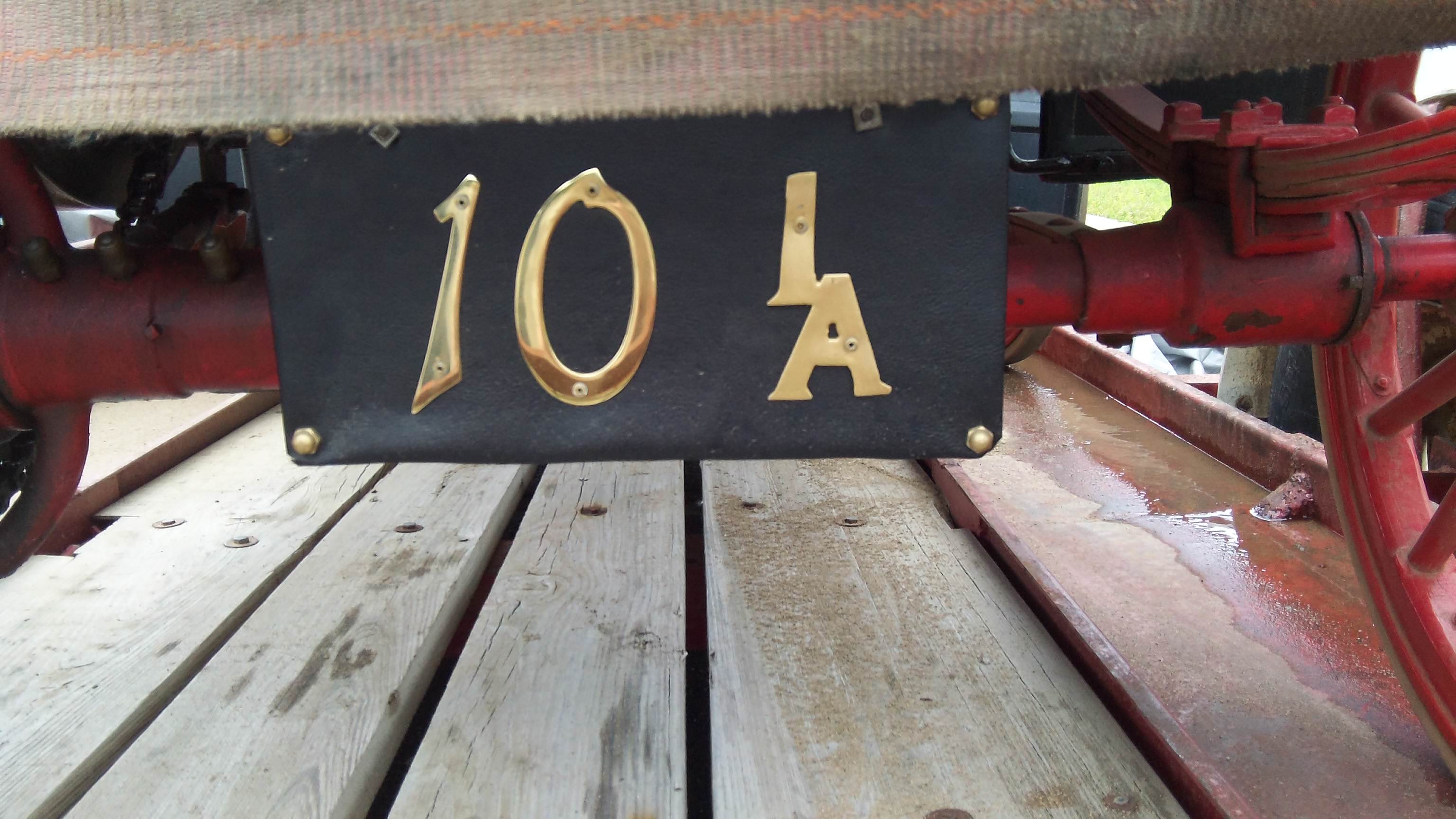
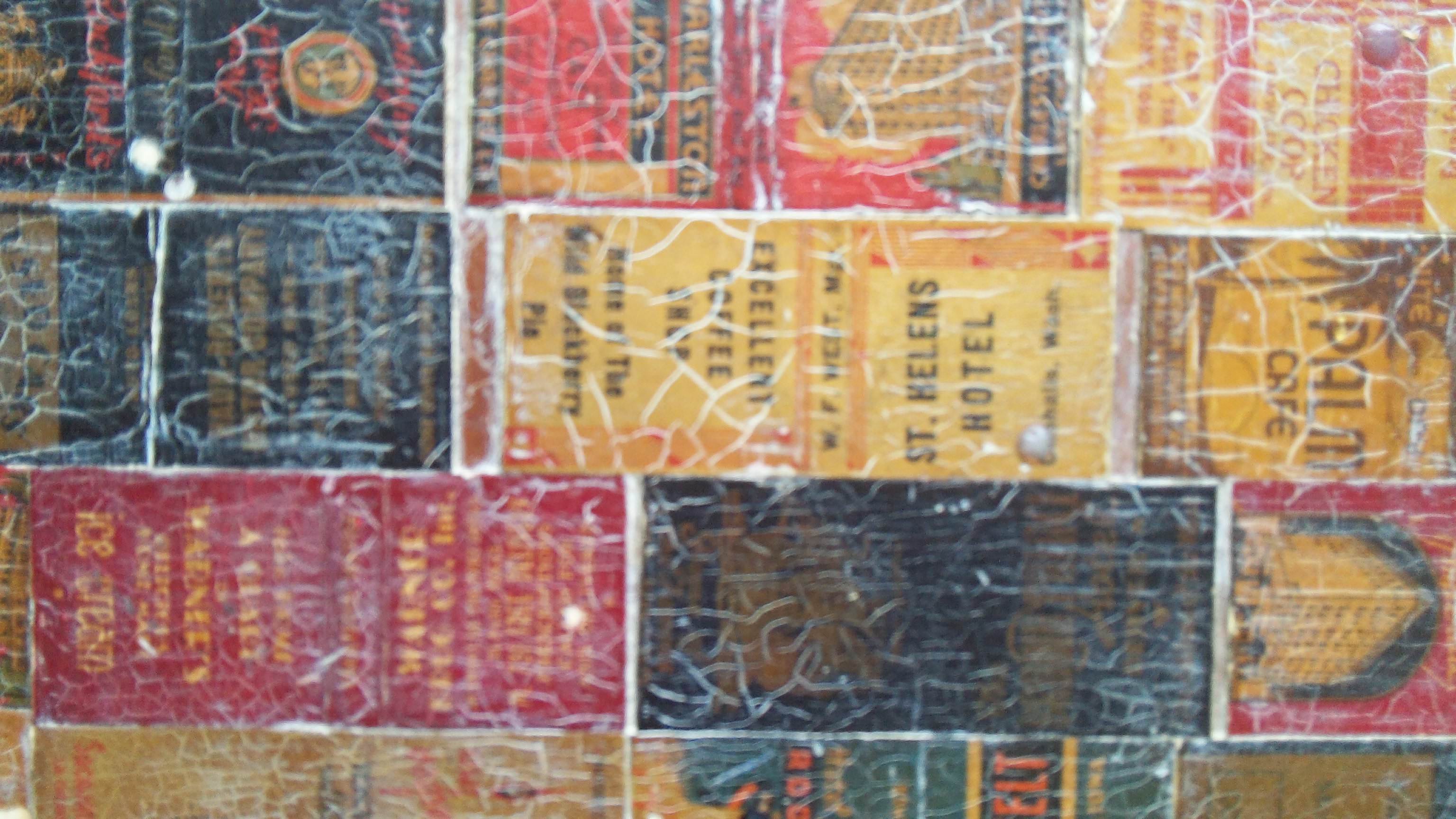
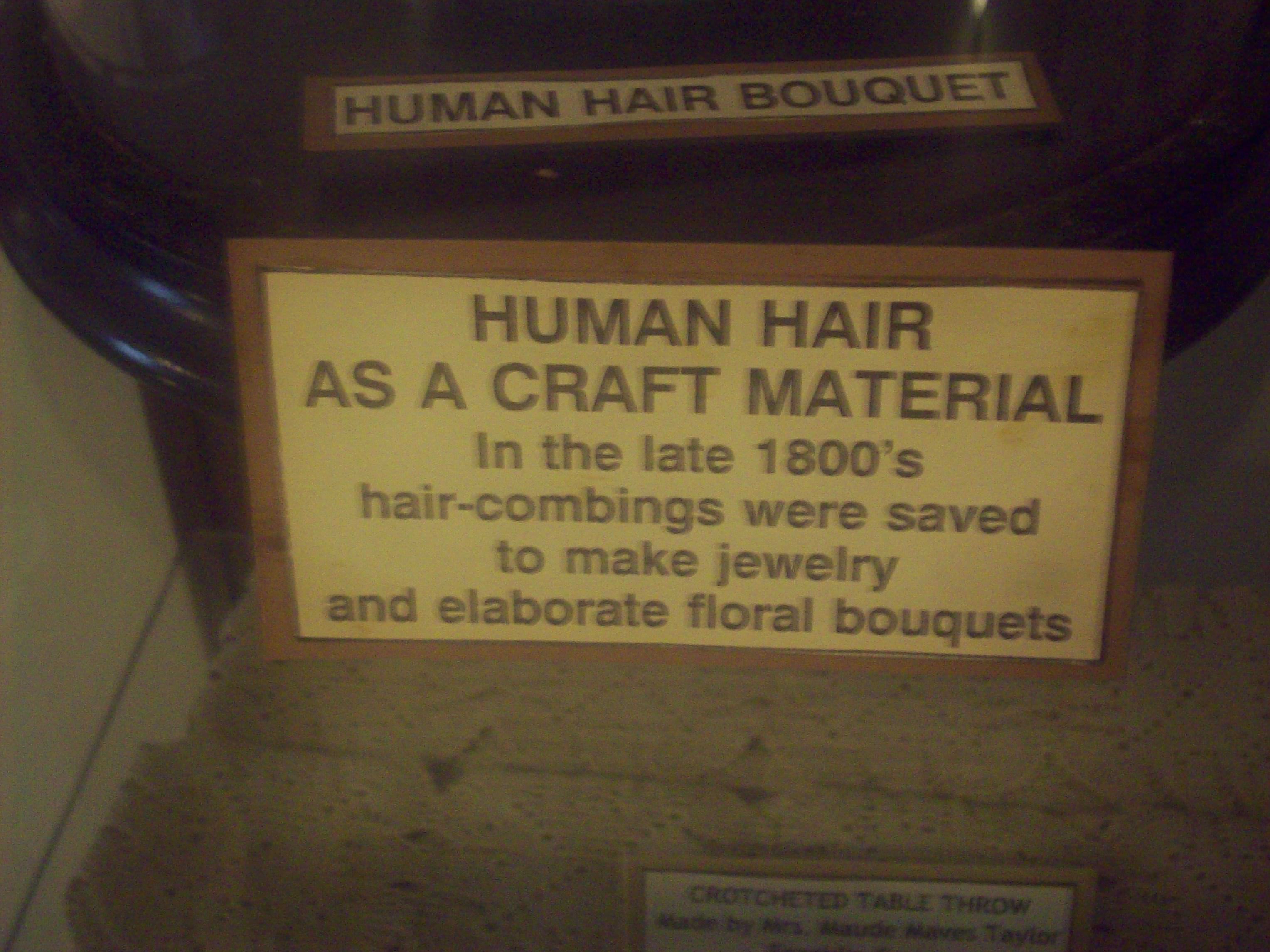
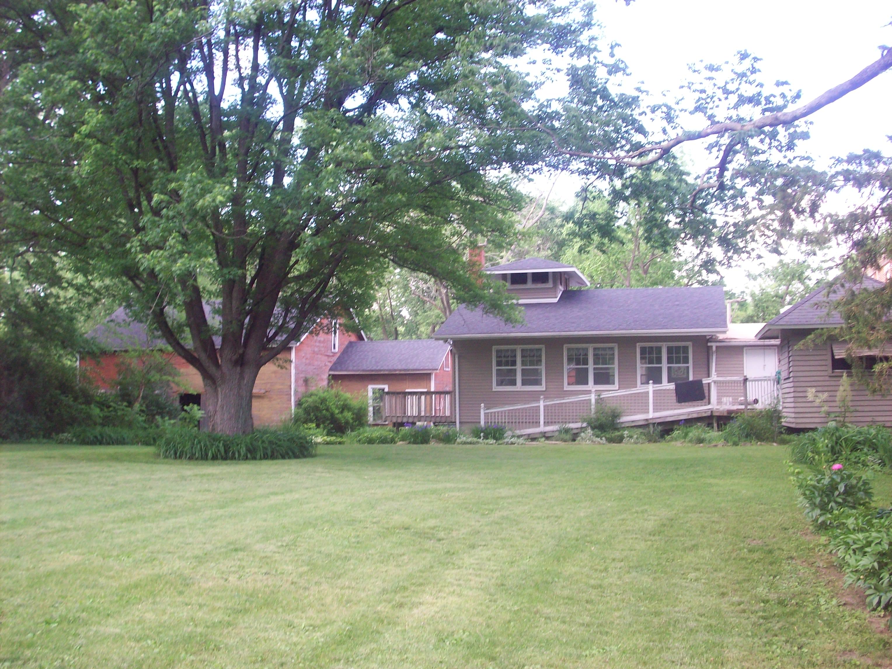
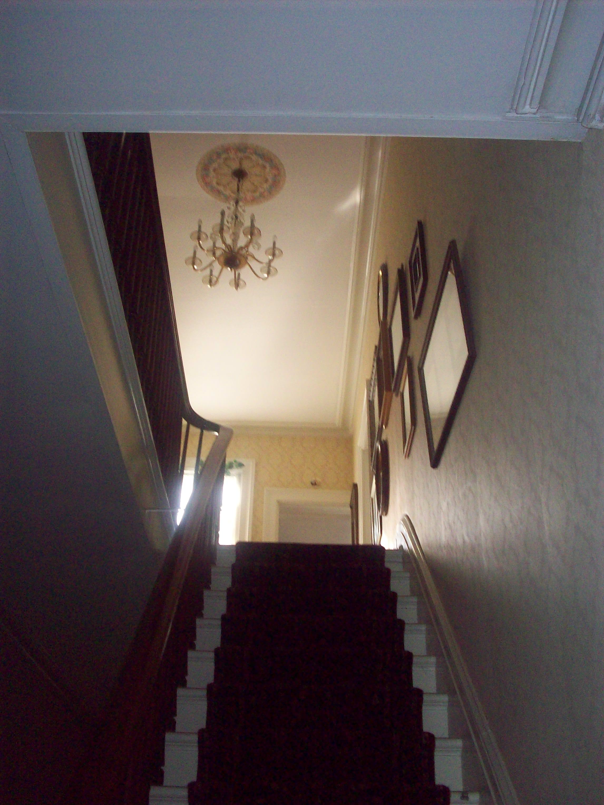
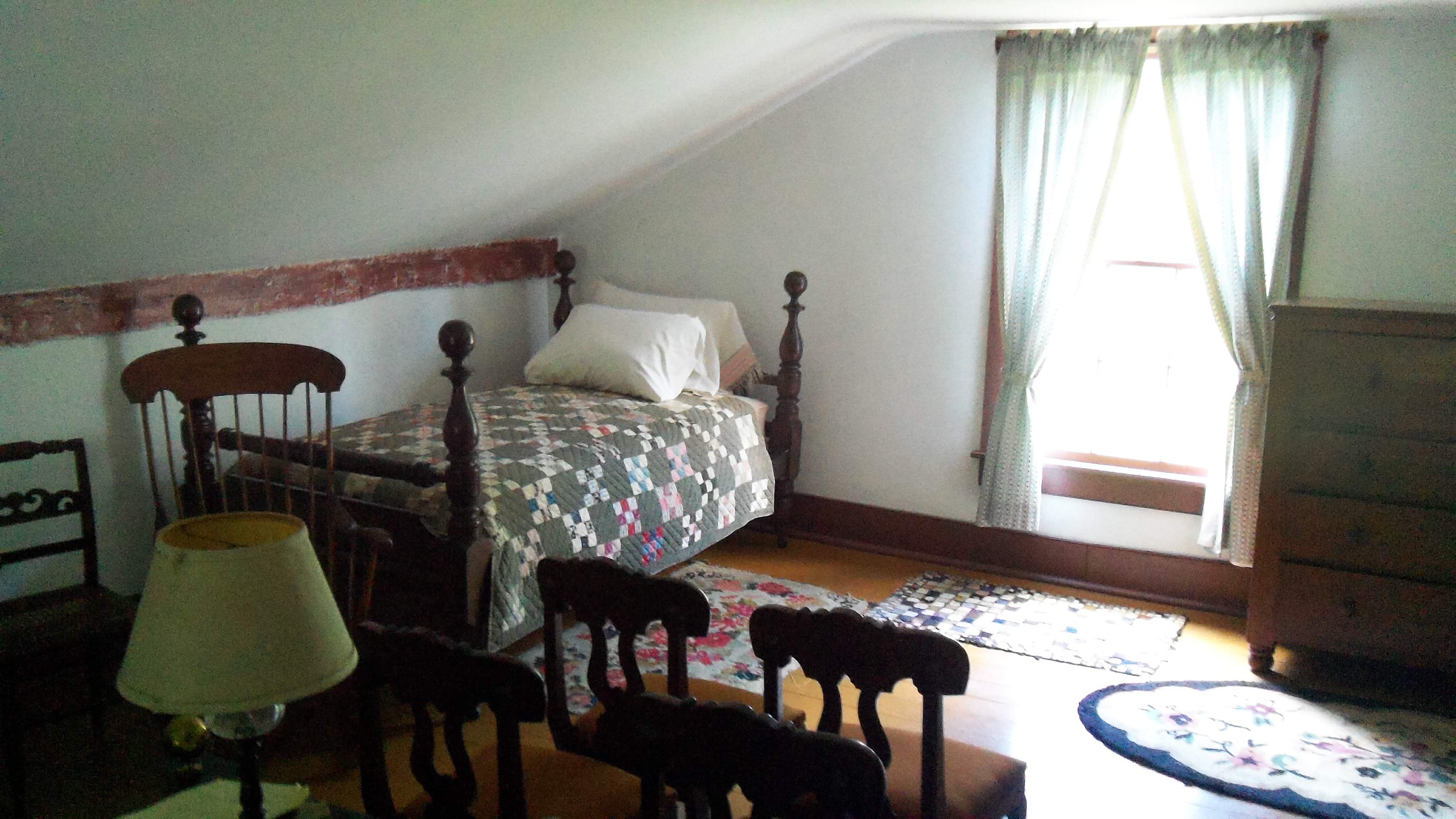
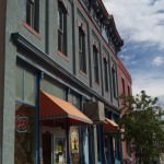
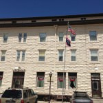
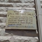
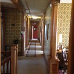
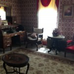
10) I was granted permission to wander around the Virginian Hotel to check out and photograph the rooms freely. There weren’t many people around, so it truly felt liked I stepped back in time.

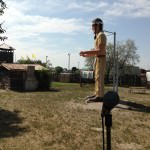
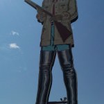
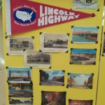
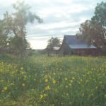
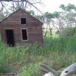
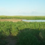
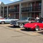
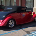
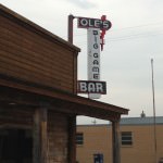
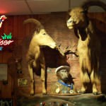
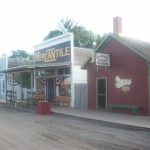
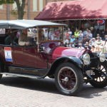
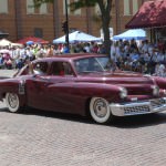
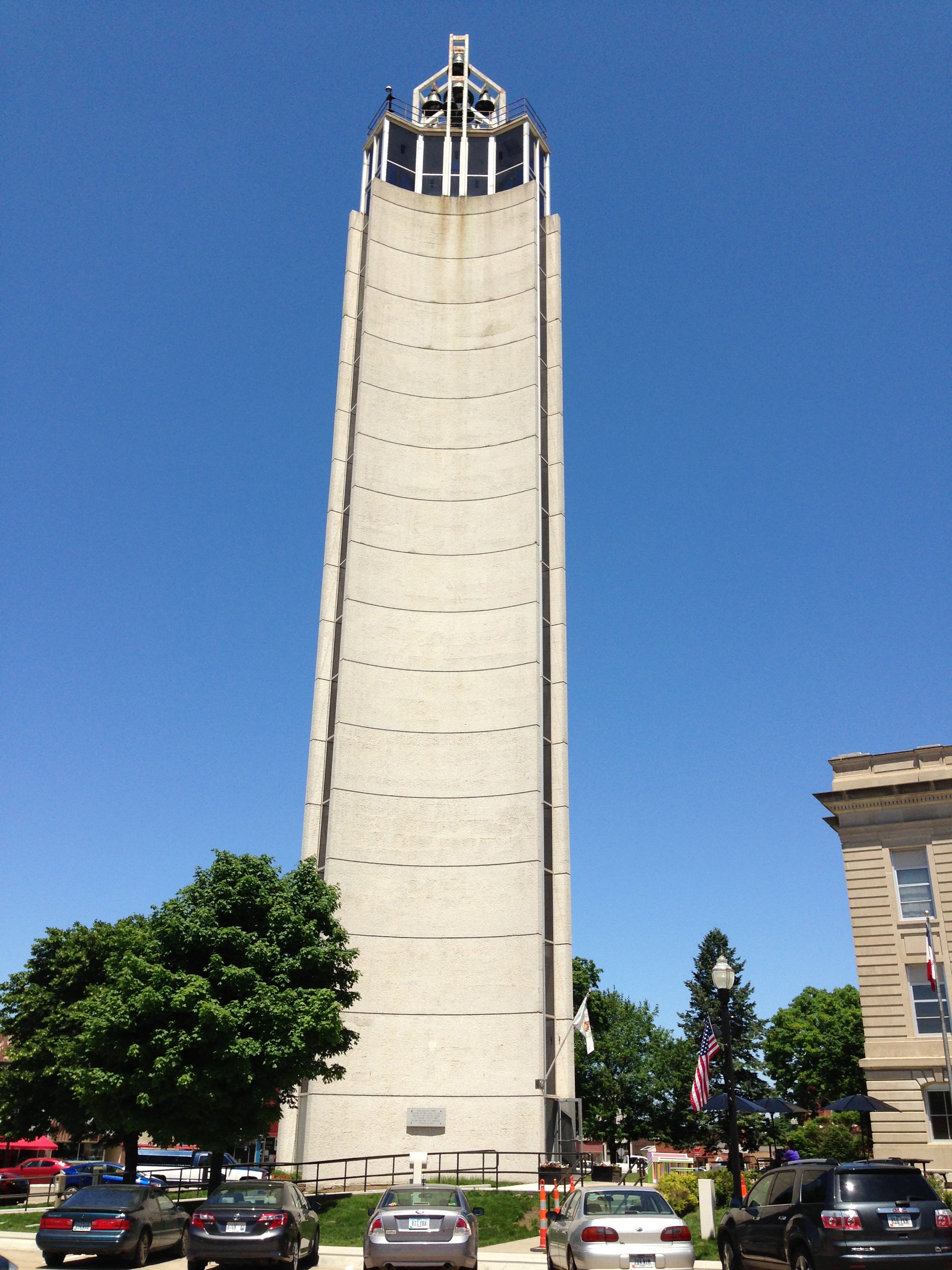
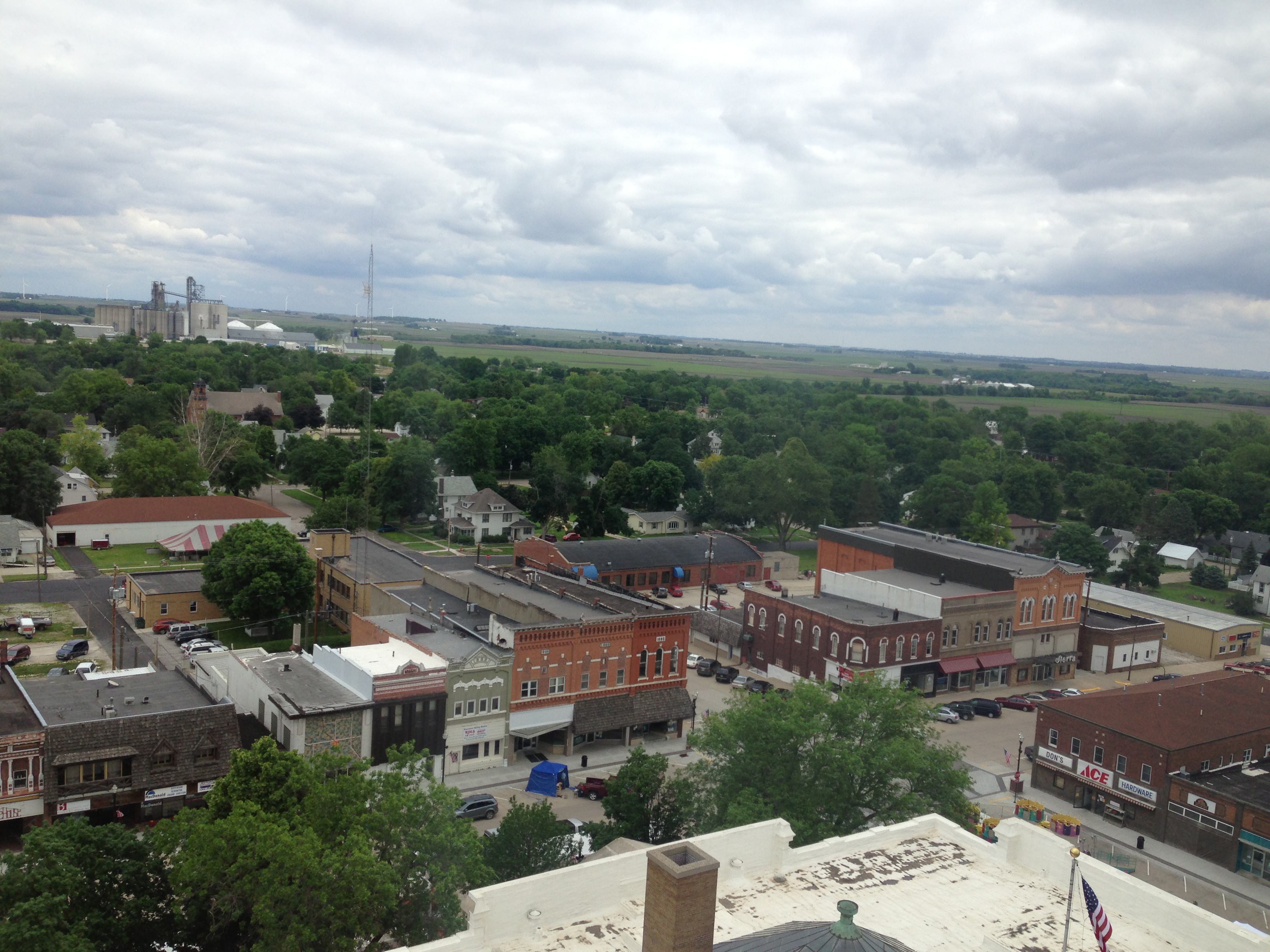
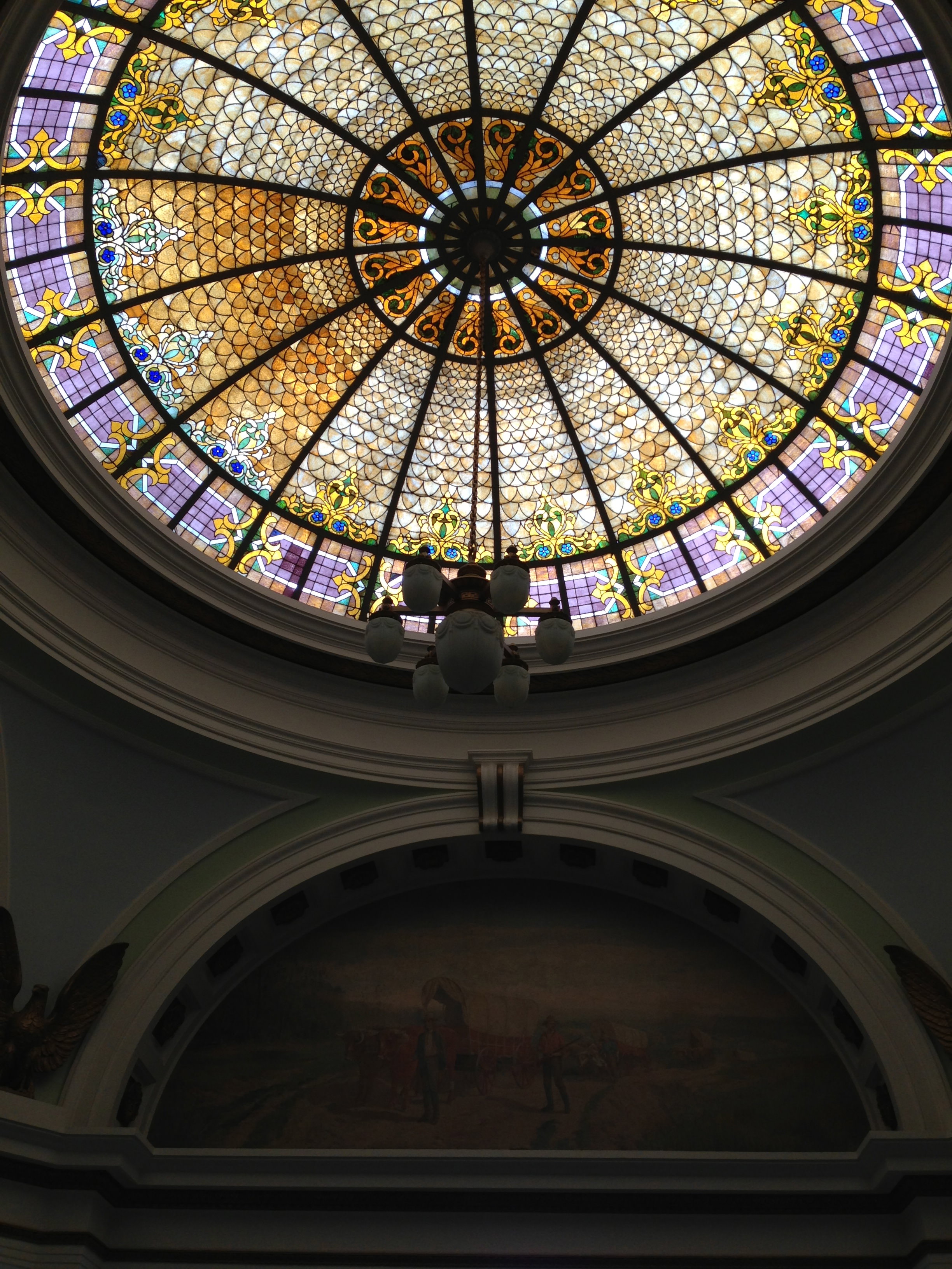
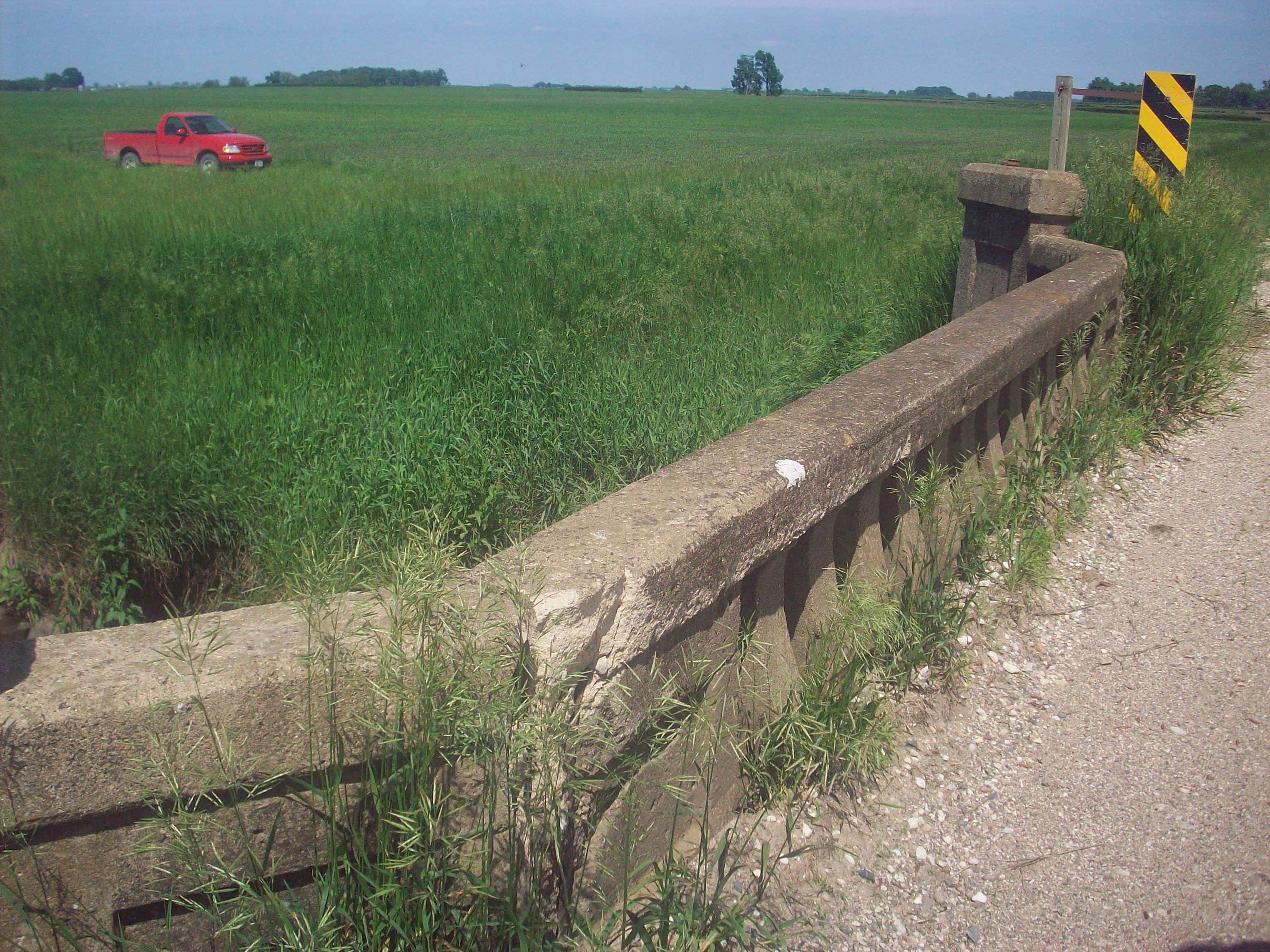
There’s plenty more I could list, but this should hopefully give you some highlights to look forward to when driving this stretch of the road. Now onto the photos!

Just outside of Cheyenne, the 1913 Lincoln Highway turns into what is now called “Otto Road”. I of course had to pose by the sign.
Here’s the famous Tree Rock, which is smack in the middle of I-80. Definitely a good stop along the route for you to stretch your legs.
The Ames Monument was built in 1882 by the Union Pacific Railroad. That black dot in the middle of the mounment is me standing at full height (I’m 5’10”).
From my list above, here’s the view of from Sherman Summit, the highest point on the Lincoln Highway. You can see the Lincoln Statue in the distance.
This Memorial to Henry Joy (one of the founders of the Lincoln Highway) was originally placed West of Rawlins at his favorite campsite. Due to vandalism, this monument was moved to Sherman Summit.
Here’s the famous Lincoln statue up close, with an LH marker in the foreground.
You read this right! Buford, WY is the smallest town not only along the Lincoln Highway, but in the nation as well.
Taking in the sights of Laramie, here’s a great old sign along the route.
Another sign not too far from the highway, which has seen better days.
This is St. Matthew’s Cathedral in Laramie, the highest Cathedral in North America. I am honored to say that I performed my concert here, and it was one of the best shows I did along the route.
More views of downtown Laramie.
Me at the the Buckhorn Bar in Laramie. If you look really closely in the reflection you’ll see a couple bullet holes in the mirror from an angry husband back in the early 70’s.
Dinosaur Fossil Cabin Sign.
The Dinosaur Fossil Cabin was built in 1933, and is referred to as the World’s “Oldest” Cabin.
Close up picture of the fossils.
With the fossil cabin at my back, this is the view of the area around it. I can still hear the wind.
The Virginian Hotel became famous after Owen Wister wrote his novel “The Virginian” in 1902.
Front door of the hotel.
I think this sign speaks for itself…
Hallway in the Virginian Hotel, preserved beautifully.
This is the Owen Wister suite, where “The Virginian” was written.
Love this old hotel buzzer. Remember, there’s no phones in these rooms, that’s how old they are!
The road met the sky here many times. It was lonely at points, but so beautiful.

Western Wyoming is up next, so until then stay warm and enjoy your weekend!

Filed Under: Community, Driving, Grassroots, Lincoln Highway, Nevada, Venue, Wyoming Tagged With: Fossil Cabin, Friends, Laramie, Medicine Bow, My Lincoln Highway, Otto Road, Sherman Summit, St. Matthew's Cathedral, The Virginian Hotel, Wyoming, Wyoming Public Radio

The Colorado Loop

August 13, 2013 by Cece

Towns don't really exist in this part of Colorado, but ranches and businesses do.
Towns don’t really exist in this part of Colorado, but ranches and businesses do.

Ok, I’m admitting it.

I’m a little biased with today’s post. As most of you know, I lived in Colorado for five years to do my graduate studies in music. This part of my trip was as close to a “homecoming” as I got on this tour, so after my Denver performance I took a mini-break from the road to be in familiar surroundings with dear people who I’ve known for a long time.

That being said, there is plenty about Denver that is no longer familiar to me, even after only being gone several years. Restaurants and radio stations stayed the same, but so much has changed and grown in such a short time. I knew I couldn’t go “home” again when I came back to Colorado, but I still never anticipated how hard it would be to be back there at times.

Anyway, onto the history of the road…

The Colorado Loop only existed as part of the Lincoln Highway from 1913-1915, but since we are celebrating the centennial of the highway, we must celebrate all of the original parts of the road. This loop created great controversy from the get-go for the Lincoln Highway Association. This part of the highway was included due to the persuasions of people in Colorado, but also out of slight guilt from the association. After all, they held their initial meeting in Colorado, and then they originally decide to leave Denver off the route? Colorado wouldn’t have it! The loop was then created, but trouble quickly followed. The town of Greeley decided they wanted in on that action, and then there was an “unsanctioned” route created to include Greeley in that route. The LHA had enough of the state’s shenanigans, so they eventually and quietly changed the route to not include Colorado.

It’s a shame really. The high plains of Colorado have a serenity found nowhere else along the route. After living in Denver and always flocking into the mountains for an adventure, the Northeastern parts of Colorado have an adventure all unto itself. Much of this area still remains unchanged from a century ago, and you really start to feel the isolation a Lincoln Highway traveler would have encountered back then.

My performance in Denver was a good one, and it was wonderful to see so many lovely people again. Dan was able to come out for this show, plus there was an old friend who flew from New York to surprise me for this performance! There’s some great video of this show now on my YouTube Channel for your viewing pleasure.

Below you’ll see photos of the loop as well as pictures of Denver itself and Mt. Evans (while not on the Lincoln Highway, it’s a road that most everyone should visit while in the area). Let me know what you think of the pictures, and thanks for stopping by!

The Phelps Hotel in Big Springs, NE is a great landmark in the area, and is known for its three chimneys.
This is the location where the “Dueling Billboards” were located in Big Springs, NE.
Do you go to the right?
Or do you go to the left?
As you can see, I took the left. I was very happy to see this sign.
This marker in Julesburg marks both the Oregon trail and the Pony Express.
The Old Ford Garage has tons of great old stuff from what I hear, too bad it was closed when I was in town.
I loved this old awning of an old hotel (now apartments) in Julesburg.
This is the Hippodrome Theatre in Julesburg. It still is in operation today.
This is the remnants of an old bridge near Dorothy, CO.
View of the original route near Dorothy, CO.
This is the old roadbed of the Lincoln Highway’s Colorado Loop.
This bridge on the South Platte River has the “DLD” (Detriot-Lincoln-Denver) stencils still on it. You can find outside Merino, CO.
Towns don’t really exist in this part of Colorado, but ranches and businesses do.
The Sands Theatre opened in 1916, and has been restored back to its glory.
Main Lobby of the Sands Theatre. Love the dramatic masks!
The Rainbow Arch bridge in Ft. Morgan has 11 arches, and was open to auto traffic from 1923-1987.
Today the bridge is open to pedestrians. This is the view from the end.
As noted in the last post, “minimum maintenance” roads should just be called “muddy roads”.
With the car stopped and the radio off, I sat in my car on the high plains of Colorado and listened to the wind.
View of the Cherry Creek in Denver at sunset. This creek crosses the Platte River downtown, and it is at that very spot where Denver was founded.
Outside of the venue I performed at.
Inside at the Merc’s Jungle room-the stage is all set!
Nap time at the Denver Zoo!
Liquor License #1 was issued here at the Buckhorn Exchange in Denver, CO. Much of the place has stayed the same, and you’re a meat lover this is a great place to eat.
Ghost Sign on the Buckhorn’s building. This is located on the North side of the building.
Ah, I missed these mountain sunsets.
View from the top of Mt. Evans, the highest paved road in North America.
Another view from the top with my other camera.
Here’s me with the sign at the top.
Yup folks, that is snow on the stairs…in late July.
In case you can’t read this, it said it was 44 degrees Fahrenheit when we were there that afternoon.
Always good stuff to remember for this part of the country and other Western sections of the Lincoln Highway.
“High on a hill there’s a lonely goat…”
I was pretty surprised when these “wild” goats wandered up to us at the park. I’ve seen them before here, but I’ve never been that close.
Closeup of the baby Goat.
Closeup of the Mama Goat.
Everyone wants to go straight to Mt. Evans, but they should stop at all of the cool little parks along the way to the top, including Summit Lake Park.
This gas station in Longmont, CO is where supposedly Jack Kerouac stopped and took a nap at in his book “On the Road”. As you can see, it’s literally on its last legs.
Here’s another view of the station, which had a full garage.
This mural in Berthoud, CO pays tribute to hometown boy Floyd Clymer, one of the pioneers in motorcycle racing.

Filed Under: Colorado, Driving, Music, Odds and Ends, Travel-General, Venue Tagged With: Buckhorn Exchange, Colorado Loop, Denver, High Plains, Lincoln Highway, Mercury Café, Mt. Evans

Western Nebraska Highlights, and meet Nebraska Outback!

July 31, 2013 by Cece

IMG_3536

I used to be like a lot of you out there in the US who had stereotypes about Nebraska. I always made the joke “Do you want to drive Nebraska by day to see how boring it is, or do you want to drive Nebraska at night to smell how boring it is?”

I can’t say that anymore. I saw stuff in Western Nebraska that was amazing, and all I had to do was leave the interstate and drive the Lincoln Highway. As Kevin Patrick noted at the LHA conference, “Friends don’t let friends drive the Interstate,” and I think I’ll start to embrace that motto after this tour is over.

The main people I have to thank for this part of my journey are Muriel (Nebraska Outback is her blog), her husband Mark, and Rob with N Route Entertainment (Muriel helps with this organization as well). They opened my eyes to seeing the beauty of their area, and they support live music and musicians with a passion I haven’t seen anywhere else so far. I left Western Nebraska with a whole other state of mind, and ready for what lies ahead.

I have to admit that the road caught up with me after my performances on the 4th of July. I was a little under the weather for a few days at this point of the tour with a sore throat and ear/sinus pressure. Luckily, it was all caught in time, and I was able to sing for a group of touring Norwegians, Swedish and Danish folks driving across the country.

There’s around 70 pictures in this post (get comfy), but here’s a few highlights of the area that I want to write about before you see the pictures:

1) While this is not directly on the Lincoln Highway, the Sandhills are truly a magnificent experience that’s close to the route. It is a region of mixed-grass prairie/grass-stabilized sand dunes in north-central Nebraska, covering just over one quarter of the state! You can pretty much Google and see several websites to learn more about it. Muriel has strong family ties to this area, so my driving tour both her and Mark took me on was made that much more magical.

2) If you’re a fan of anything of the Old West, definitely take the time to stop in North Platte. You’ll find plenty of things to do and see there, and you won’t be bored!

3) You’ll cross into Mountain Time Zone west of Sutherland, NE (my favorite time zone). I noticed on some of the original routes as well as some auxiliary roads you’ll see the sign “Minimum Maintenance Road”. Believe what they say! I wanted to go see some old wagon ruts on “California Hill” and my car got stuck in mud right off of the paved main route. Luckily I wasn’t in too deep and could back myself out of the mud by myself, but this warning as well as a few others is a note of caution for anyone driving the Lincoln solo. When in doubt, don’t drive it!

My view from the stage at the Ft. Cody Trading Post in North Platte, NE. This figure was originally a “Muffler Man” and when the store went out of business they turned him into a “Native American”.
View of the Trading Post from the outside. While it is now located on the interstate, the original location of the post was west of town on the Lincoln Highway.
Buffalo Bill stands tall in North Platte!
This was a special Lincoln Highway display the trading post had up to mark the centennial of the road.
A photo of Buffalo Bill’s Miniature Wild West Show. Over 20,000 tiny hand-carved figures populate dioramas of Bill’s show, were created by Ernie and Virginia Palmquist over a 12 year period. It was really neat to see all of the details!
The biggest LH marker I’ve seen so far!
Just outside of North Platte sits Buffalo Bill’s Scout Rest Ranch. A place of retreat for Bill from all of the touring, this home was built in 1886, with the “new” edition built in 1909.
Here’s the barn on the grounds. It was a working farm with over 4,000 acres at its largest point in time.
Here’s Muriel and I dressed up for my performance at the Oregon Golf Course in Sutherland, NE (about 20 miles West of North Platte). Pretty cool to perform with an Oregon Trail marker so close!
The Sutherland Reservoir is right next to the golf course, and it was the perfect spot to celebrate the 4th of July.
While this was a nice depiction of the West, it unfortunately was viewed while I was in a Doctor’s office.
Welcome to downtown Sutherland! You’ll see in the next few pics it’s quite the Lincoln Highway town.
This mural is a reproduction of the famous Franklin Grove, IL mural, the only difference is the mileage between the cities.
This is an excerpt of a mural that the town of Sutherland painted for its Sesquicentennial.
Of course if it’s got the word “Otto” in it, I have to take a picture!
This mural was created by Sutherland school children. Muriel’s son helped paint it!
This is the oldest building in Sutherland. It is currently vacant, but people hope to reopen it again soon.
Burma Shave Signs don’t have to just be along the road…
They can be on buildings as well!
Mural in progress next to an old gas station that is in the process being restored.
Another Sutherland gas station gets another face lift!
Another great recreation of a famous Lincoln Highway mural (more on it in my next post).
Waiting for a train.
The Sutherland State Aid Bridge was built in 1912, and is in danger of being torn down.
Here’s a view of the bridge from the side.
If you look closely, you can see the wagon ruts from where the Mormons went through this area in the 1840’s.
Continuation of the previous picture.
Sand of the Sandhills. As you can see, it’s pretty fine stuff.
There will be several landscape views of the Sandhills coming up, and this is #1.
Mark hands me some Yucca plant to try. Not my favorite thing to eat, but not horrible either.
This is the Schoolhouse where Muriel said she went to school. She also mentioned that dances would be held here once a month.
Closeup of the Schoolhouse. Note the cows are very interested in us…
Here’s what Muriel’s family homestead looked like from the outside.
View of the main room in the homestead.
Love this old stove! It is not original to the home, but has been donated for its restoration efforts.
Exterior view from the homestead.
Here’s another view of the homestead.
Another out-building on the land.
I love the sunflowers in this view.
Sunflowers in the Sandhills.
As I learned from Muriel, we must always help the turtles find their way across the road.
Sunset in the the Sandhills.
Three people from the tour who came to my Saturday afternoon performance – they were all from Denmark.
Here’s a shot of a few of the cars that the tour drove. I loved the Imperial in the middle.
Love this old car!
Ole’s Big Game Steakhouse is very well known as a must stop not only along the Lincoln but in all of Nebraska as well. It opened the day after Prohibition ended in 1933.
All of the animals in Ole’s were caught by the original owner himself.
Love this old lamp at Big Ole’s Steakhouse
Another great old jukebox.
The Spruce Street Station in Ogallala, NE has been restored back to its original glory.
Ogallala’s Boot Hill Cemetery is a great little stop along the road.
View of the Cemetery with the “Cowboy Boss” looking on.
This woman and infant were the first people to be buried at Boot Hill Cemetery.
“Unknown Cowboy, 1882”
One of the last Lincoln Highways I might see for a while…
Here’s a shot of the road from my car as I was driving in the Panhandle.
Duck Crossing along the highway!
This building in Lodgepole, NE has one of the best ghost signs I’ve seen so far. Hopefully the Opera house will be restored again soon.
Cows on the run in Sidney, NE!
The Potter Soda Fountain supposedly is one of coolest places to stop an experience an old soda or tin roof sundae. Too bad it was closed when I drove through.
The original Lincoln Highway went under the railroad here. Lucky for me a train was going by!
One of the biggest gas stations in the US was the State Line Gas Station on the Nebraska/Wyoming border. There are 18 pumps in total.
Closeup of the Station.
While standing at the abandoned gas station, both a train a few Norwegian cars went by!
Here’s where the line was drawn for the border.

I hope you enjoyed the pictures! Up next I’ll talk about the infamous “Colorado Loop”. Until then, enjoy your week!

Filed Under: Driving, Grassroots, History, Lincoln Highway, Lincoln Highway Conference, Nebraska, Venue Tagged With: Buffalo Bill, Homestead, Kevin Patrick, Lincoln Highway, Lincoln Highway Association, Live Music, Local Music, Muriel Clark, N Route Entertainment, Nebraska, Nebraska Outback, Ogallala, Panhandle, Pioneer, Prairie, Sandhills

Central Nebraska Highlights, plus the Lincoln Highway turns 100!

July 14, 2013 by Cece

The last few weeks have been non-stop! Between the performances, interviews, and just general merriment, it’s all been amazing! Unfortunately, the road has finally caught up to me almost 4 months later. My immune system crashed, I got sick, and I’m now resting and recovering for the next stage of the tour. I can finally sit down and update you on this exciting time in the Lincoln Highway’s history.

I’m doing the next couple posts slightly out of sequence because there’s so much information to cover. Today’s post will focus on Grand Island and all of the festivities for the Lincoln Highway’s 100th birthday in Kearney. My next post will be about the 2013 Lincoln Highway Association’s annual conference (of which I am a proud member), and then I’ll resume my regular posts which head westward.

Wow, where do I start in regards to all of this? There’s still a mix of honor and disbelief that I was a part of the Lincoln Highway’s birthday. It all went by SO fast! What really accelerated things for me were all of the various TV, newspaper and documentary interviews I did during this time (all media stuff I did was a complete surprise to me). This is the first time on the tour where people walked up to me and knew who I was! Audiences in Grand Island and Kearney overall were very enthusiastic of the project and the music, and the Lincoln Highway pride was in full force everywhere. It was amazing to have so many people from all over the world in one place celebrating America’s first transcontinental road, and to be a part of those festivities was so humbling.

I truly wish I could have had more time to spend in Grand Island. There’s a lot of really wonderful things going on in this town. Originally I was set to perform in the Grand Theatre, but when renovations weren’t complete, I ended up performing at the Liederkranz instead. The universe direct us to places and people that we never thought we’d meet, and I have to say the Liederkranz is one of those places for me. It was an amazing place to sing, and the owners Fred and Gloria are top notch people in the community. The city of Kearney is roughly half way between San Francisco and New York City, so it was a natural choice to host the Centennial celebration. I got to the city before the LHA auto tours, the Tin Can Tourists, and other folks from all over arrived to the town and everything was all abuzz in anticipation of what was on deck for the coming weekend.

Okay, enough yakking. In a blog first, you’ll see a lot of pictures of me in this post, which is thanks to my husband Dan who was my roadie, photographer, and overall awesome guy during this busy time in the project. I couldn’t have done it without him!

The Shady Bend Campground in Grand Island used to provide gas, food and lodging to travelers for many years, and there were extra amenities like a playground and a sandy beach lake. Today it is now a restaurant.
Love this original sign above the main door at Shady Bend!
Not too far down from Shady Bend is Kensinger’s Gas Station, which is still a fully operating gas station for more than 75 years.
Here’s a picture of the gas station interior. Thanks to Richard Grudzinski for letting me take pictures of everything.
You saw the main room in the previous picture, here’s the back room of the gas station.
The sign to Kensinger’s gas station.
Located behind Kensinger’s in Grand Island, this is an original seedling mile (paved 1915). You can’t drive on it, but you can walk on it.
Another view of the Seedling Mile, with a few Burma Shave signs this time.
The Stuhr Museum of the Prairie Pioneer is a couple miles south of the Lincoln Highway, and definitely a fun must see when in the area.
It’s not fancy, but I’ll take it! The door to my dressing room for my live TV appearance.
Here’s the outside of the building I performed at in Grand Island, the Liederkranz. The club has been around since the 1870’s, but this current building has been in existence since 1911 (it was built along what would become the Lincoln Highway).
The Liederkranz is used for a variety of things from dances to dinners to sing-alongs, acoustically it was a perfect place to sing.
It’s a fuzzy picture, but as you can see this microphone is an old one and has probably been around for a long time.
There is a gentleman counterpart to this tapestry, but I loved these ladies that were awaiting me in at the Liederkranz.
Guess who made front page news in Kearney! What a nice surprise to see when I was checking into the hotel.
Singing for my supper in downtown Kearney.
Will Rogers and I look on at the parade as it goes by.
The Lincoln Highway “Marching Marker” made its debut in Kearney for the parade! I wonder if I’ll see it anywhere else…
Even Smokey the Bear made an appearance!
One of the hundreds of beautiful cars I saw during the parade on Sunday.
I’m not really a car person, but when a Tucker drives by, I pay attention.
These bike riders were so hypnotic to watch.
Officially the most unique car in the parade, this camper/truck made all kinds of fun and crazy noises as well as had some moving parts on the outside too.
Even FDR showed up to the festivities! He really loved my rendition of “God’s Country” (the song mentions the President himself).
My guitar player was Jeff Erpelding, a local Kearney musician who plays in a few bands in the area. Not sure what I’m pointing at, but it must be important!
San Francisco or Bust!
Kearney’s World Theatre was right across the street from where I was singing. It has been recently restored back to its 1920s glory, and it played a silent movie during the festivities.
Here I am with one of the great old cars that was on the 1910s block.
On Monday, I performed two great shows at the Archway to mark the highway’s centennial. In between sets, I ran over to the hotel to set up my table for the Lincoln Highway’s Annual conference (more on that in the next post).
There was a huge celebration at the Archway Monday evening, where there was a lot of good food, music and Lincoln Highway merriment! One of the things that did happen also was the Brian Butko gave a talk on Monday about the newest book he edited “The Lincoln Highway: Photos Through Time”.
Here’s a picture of Brian and I with my signed copy!
Last but most definitely not least, here’s the picture of me in this new Lincoln Highway book! You can find me on page 21. Thanks to Jamie Ralston (My Lincoln Highway) and Brian for putting this picture in the book. It was truly a wonderful surprise to see, especially on the 100th birthday of the road!

Filed Under: Lincoln Highway, Lincoln Highway Conference, Music, Nebraska, Venue Tagged With: Auto Tour, Brian Butko, Centennial Celebration, Grand Island, Kearney, Liederkranz, Lincoln Highway, Lincoln Highway Association, My Lincoln Highway

The Jefferson Bell Tower Festival Plus Sightseeing in Greene & Boone County

June 20, 2013 by Cece

There’s a bunch of pictures in this post, so I won’t write much here. What I will say was I had a wonderful time a being a part of Jefferson’s Bell Tower Festival. I performed both at the opening ceremony on Friday night, as well as a regular performance on Saturday afternoon. Another first for this tour was that I performed as part of a church service on Sunday in Grand Junction, Iowa. The minister said a few words, and then let me perform!

I also got a chance to hang out with a lot of great Iowa Lincoln Highway Association folks during this time, including Bob and Joyce Ausberger, Bob and Janet Owens, Dean and Jeannie Parr, John Fitzsimmons and many more! One beautiful day after the festival was done, the two Bob’s and Joyce took me on a driving tour of Greene and Boone Counties, and I learned more about bridges in one day than I had in my lifetime.

I’ll let the pictures speak for themselves, but if anyone has any questions about the pictures feel free to ask in the comments below. Thanks!

This statue of Lincoln is right next to the courthouse in Jefferson and he faces the highway. An excerpt from his 2nd inaugural address is inscribed below.
The Jefferson Bell Tower is a Carillon Tower that has an observation deck in which you can view the whole city and a couple nearby towns.
View from the top of the Bell Tower.
The Jefferson County courthouse is truly one of the most beautiful courthouses I’ve ever been in. What a lovely ceiling!
I was honored to be a part of the Jefferson Bell Tower Opening Ceremonies. Thanks again to Bob and Joyce Ausberger for setting everything up!
Hanging out with some LHA folks after performing for the Opening Ceremonies of the Bell Tower Festival.
I was so happy to have my Mom drive down from Minnesota for the Bell Tower Festival, it was great to have her there. Thanks also to our family friend Leann for coming down and taking this picture as well!
Here’s me in the parade! The car is a 1929 Model A.
Here’s a picture of me and Marty, my accompanist for the Jefferson and Grand Junction performances.
Here’s what the museum looks like from the outside.
Here’s another view of the Grand Junction museum.
A great banner done by local artist John Fitzsimmons. You’ll read more about him later.
This Haynes-Apperson car was built in 1902, and is the 1st car ever owned in Boone county, and the 10th car ever owned in the state of Iowa.
Here’s the back of the Haynes-Apperson Car.
It really is the 10th car owned in the state, and here’s the plate to prove it!
Me with Terry, the Mayor of Grand Junction.
This 1914 newspaper was found when they were renovating the museum in Grand Junction. Definitely click on this photo so you can see all of the detail in the paper.
These recreated Burma Shave ads from the heydays of the highway can bee see randomly all over the state. They all are pretty funny too!
This table at the Lincoln Highway museum in Grand Junction has a table that has been covered and lacquered in old matchbook covers. Pretty neat!
Here’s a detail picture of that cool table.
The Eureka arch bridge was built in 1912 and has five large arches spanning the Raccoon River just west of Jefferson Iowa.
The Hillcrest Motel was opened just outside of Jefferson in the in 50’s. When the route was re-routed a few years later, it fell into ruin quickly. There is discussion to restore it back to its original glory and make it a historic site.
The Lincoln Highway has several incarnations as you all know. There were several places in Greene County like this where it went through a person’s property long ago, and then was re-routed. This farm outside of Jefferson has the original route running on their property, and you can see it here between the trees.
Old motel sign just outside of Grand Junction.
Want to know how the Lincoln Highway is spelled in Chinese Characters? This gas station in Grand Junction has it listed on their station.
This Lion’s Club Tree Park and Lincoln Highway Interpretive site is right outside of Grand Junction. It is is located at the point where the Lincoln Highway splits from the newer US 30 and where four bridges cross West Beaver Creek.
The Lincoln Highway wasn’t the only auto trail that was created in the early 20th century, and you can see what their logos/signs looked like here.
The Marsh Rainbow Arch Bridge is located just outside of Beaver, Iowa on the original Lincoln Highway Route. This bridge was one of the earliest bridges of this type, and it was built in the 1910s.
Bob and Joyce posing with two of the bridges that started it all. In the background you have the 1915 bridge, and in the left foreground you can see the 1920s bridge.
Before signs, the routes were painted on telephone poles. This is a faded Lincoln Highway post from that time.
This is the Little Beaver Creek Lincoln Highway Bridge. Note the “L” on the sides of the bridge.
Here’s a full view of the Lincoln Highway Bridge
I saw the leaning shed with the prairie, and thought this image had to be immortalized.
Another Bridge built over the railroad tracks near the Dragoon Trail. Look at that blue sky!
We got lucky when a train passed by I was photographing the bridge!
The Kate Shelley High Bridge (built 1889-1901) is among the highest double-track railroad bridges in the United States. This is the first bridge to be named after a woman in the US, and rightfully so – she risked her life by crossing a railroad bridge to save passengers from a train that had been derailed by flood waters.
View of the original bridge from under the tracks.
You can see the old and new bridge together in this shot.
The Wagon Wheel Bridge was built in 1909, and is one of the few remaining large-scale wagon trusses in Iowa.
John Fitzsimmons is an artist who lives just outside of Boone, IA. He not only does some great artwork about the highway, he also is trying to recreate an old ghost town on his property. Here’s the Miner’s Inn.
This is a picture of John’s barn on the property.
Detail of John’s barn.
Here’s the happy couple celebrating their 52nd wedding anniversary.
Here’s Bob and Janet Owens, some other great members of the Iowa Chapter. They have been married for 63 years.
This is an excerpt from a 1953 A&W menu. Even back then they had veggie burgers!
Me posing with Bob Owen’s LH Marker in his front yard.

Filed Under: Driving, Grassroots, History, Iowa, Lincoln Highway, Music, Uncategorized, Venue Tagged With: Beaver Creek, Bell Tower Festival, Bridges, Grand Junction, Iowa, Jefferson, Kate Shelley Bridge, Lincoln Highway Association, Wagon Wheel Bridge

Illinois Lincoln Highway Highlights (outside Chicagoland)

June 17, 2013 by Cece

I’ve lived in Illinois for several years, and have driven the Lincoln Highway in these parts a few times. As noted in the previous post, navigating the highway is very easy to do in this state thanks to its excellent signage. There’s some memorable points along the route that one should check out once the traffic of Chicago is far behind you, and these are my personal highlights of this last trip in Western Illinois.

1) The Loveland Community House

George and Emma Loveland lived in Dixon, Illinois their whole lives, but traveled extensively. When they both passed away, they noted in their will and testament that all of their estate funds and belongings from their travels would be donated to the city of Dixon. With this endowment, a museum and community center was built that has continued to serve the community in a number of ways. The museum has one of the most eclectic but fun collections I’ve ever seen (it also includes donations from other Dixon Locals too), as well as meeting rooms and a huge auditorium. I performed my 3rd Illinois concert here and it was a fantastic show. You can see video of some of the songs from this performance on my new YouTube page.

2) The John Deere Historic Site

While this site is not on the Lincoln Highway (it’s about 5 miles from Dixon in Grand Detour), make the journey to visit this place. Between the Archeological Site, the resident Blacksmith doing demonstrations, the gardens, and the original home, you will really get a wonderful, interactive glimpse into life in Grand Detour in the early to mid 1800s.

3) City of Dixon, Illinois

For a population of 16,000, Dixon has a lot going on! The biggest claim to fame is that Ronald Reagan spent his boyhood here, and you can tour this home as well as follow the Reagan Trail. There’s a lot of Lincoln Highway sights here too (see in pictures below), plus there’s five gorgeous state parks all within a short driving distance of the highway.

4) De Immigrant Windmill, Fulton Illinois

Who knew an operating Windmill was in Western Illinois? Originally built in the Netherlands, disassembled and shipped to Fulton. They process 5 different grains in this mill (depending on how the wind is that day), and you can buy it on site. Check out the Windmill Cultural Center next door too, you can see really intricate models of dozens of different types of windmills from all over the world.

Other Lincoln Highway related sites include the Lincoln Highway Association Headquarters in Franklin Grove, IL (they’ve got so much cool stuff there, make sure you have a whole afternoon to check it out), plus the seedling mile in Malta, IL (right in front of the community college). There’s plenty of things to see and do along the route in the “Land of Lincoln”, you easily could do multiple trips.

Here’s a few snapshots of all of the places that I’ve mentioned, plus a couple extra surprises :-) – Enjoy!

Backstage at the Loveland Auditorium. We had lots of room!
Robert Haigler, Me, and Colin Bazali after the show.
There’s some great artwork in Loveland, but there’s something about this woman that intrigues me.
This is a Friendship Quilt dating back to the late 1800s.
This Dixon couple decided to married on Roller skates back in 1939. You can see her roller skates and picture in the museum.
In Victorian Times, people would save the hair of a loved one who has passed on as a memento. Some women actually took this hair and turned it into art, and this is one of a few hair sculptures in the museum.
Here’s the caption to the previous photo.
The person I was staying with in Grand Detour lived next door to the former Colonial Rose Inn and Restaurant. The owner of the home was nice enough to let me in and I got to walk around and check the place out!
This is the main stairwell in the Colonial Rose Inn. Loved the chandelier!
Sculpture of John Deere. He first made his living by being a blacksmith, and to this day there are blacksmiths that forge items near his original shop.
I had the privilege of getting to tour parts of the grounds off limits to the general public, which included a stop in the children’s bedroom and play area of the Deere family.
One of the reasons that amongst others that the John Deere Historic Site is a must see if the Archeological Site. In the 1960’s a team of Archeologists uncovered John Deere’s original location where he made his first self-scouring steel plow. The whole area has been preserved, and this picture is just one section.
There are murals like this all along the route in Illinois that not only are beautiful, but they are informative as well.
The Dixon Welcome Center has a lot of great information as well as a Lincoln Highway Interpretive Exhibit. Make sure you ask for a sample of their Petunia Wine, it’s really good!
Picture of me in front of the Ronald Reagan boyhood home. Thanks to Jeanne with the Dixon Tourism Board for giving me such a great tour!
One of my favorite parts of seeing the Reagan Boyhood home was this part of the house. When Ronald Reagan toured the home on opening day with his brother, he pointed out the fireplace tile in the living room where he used to hide his money so his brother wouldn’t take it. There was no money underneath the tile and the President didn’t carry any change with him, so his brother put the pennies there that you see now.
This sculpture of Ronald Reagan on a palomino is along Dixon’s beautiful and newly completed riverfront along the Rock River.
The Wings of Peace and Freedom Park in Dixon includes a full-size replica of a section of the Berlin Wall, which recognizes President Reagan’s efforts to attain worldwide peace and freedom.
This is an actual piece of the Berlin Wall which has been cemented into the sculpture.
This sculpture is the “Fishing Dutchman” and he’s in Fulton too.
Entrance door to the Mill.
Here’s another view of the windmill, this time from below. It was not in operation the day I visited-the winds were too unpredictable.
Closeup of Windmill.
These a smaller representations of the grindstones used on the mill itself.
I LOVE these t-shirts! But seriously, the volunteers at the De Immigrant Windmill are really cool, I had a lot of fun hanging out with them.
This is what the Lincoln Highway signs look like in Illinois.
View of the Mississippi River from the Windmill, with Clinton, Iowa across the bank.

Up next, I’ll be taking a break from my road reporting and doing a special surprise post, so stay tuned to see what it is!

Filed Under: Driving, Illinois, Lincoln Highway, Music, Venue Tagged With: Dixon, Fulton, Grand Detour, Illinois, John Deere Historical Site, Lincoln Highway Association, Loveland Community Center, Petunia Wine, Ronald Reagan, Seedling Mile, Windmill

The Hayesville Opera House: The Best Place to Step Back in Time – Literally

May 30, 2013 by Cece

As of today, I’m now almost ten performances into this tour, and every venue I’ve performed in holds a unique space in my mind and heart. The Hayesville Opera House is an amazing venue for a musician like me, and I wish I could take this venue with me everywhere I go so you all could see hear what everyone in central Ohio sees regularly.

Built in 1886, this opera house has been restored back to its original glory, and is on the National Register as a historical landmark. From the time I walked into the venue for my rehearsal, this place took my breath away. From the hat racks under the wooden seats to the hand-painted backdrops, I was blown away at the preservation of this venue. The acoustics were perfect; it was an absolute dream to perform there.

View from the stage of the seating area. That is cast iron stove in the back was used to originally heat the place, but is no longer in use.
This is a view of the stage from the seats. The piano is on the floor on the right hand side, and that backdrop (painted in Chicago) is an original from 1886.
Here is another hand painted backdrop I found backstage. If you go to the Opera house’s website, you can see a photo of this same backdrop which was used in a play in 1916.
Here’s a picture detailing the tin ceiling (added in 1907), and motif work on the walls.

The Opera House is located in a very small town on the highway, which is a pity. I’m sure this venue has been so well-kept all of this time because of its location, but places like these need to be seen and experienced. The president of the restoration board is Dave Roepke, and he was so kind to not only play the piano for my performance, but he let me wander everywhere in the space to take photographs. I’ve performed on stages all over the world, and I’ve never seen as much backstage graffiti as I did in this place. I spent a long time reading all of the names, shows, and dates that people have left over 125+ years (including a disputed signature from Buffalo Bill in 1888). I too left my mark on that place, as you’ll see below.

If you look closely, you can see what appears to be a signature from Buffalo Bill.
This signature is definitely one of if not the earliest I found on the walls.
There are four dressing room at the Hayesville Opera House, and to me this one had the most interesting writing and drawings on the walls. Plus note in the photo that you can see an original gas lamp too!
I was very happy to “make my mark” in the dressing room you saw in the last picture.

I had a fantastic time performing in this venue, and would definitely perform there again. You can read more about my performance in Hayesville from Jamie at My Lincoln Highway here, or to read Denny Gibson’s review, click here. I’ll leave you with two more shots of me in at this lovely theatre. I am standing in front of the main curtain, and once picture is in color, and the other is in black and white. If you compare my black and white photo to the historic photos in this link, I think you’ll see that there’s not much difference between the two.


Up next, a short but sweet post about Western Ohio. Until then, keep listening for those songlines!

Filed Under: Lincoln Highway, Music, Ohio, Rehearsal, Venue Tagged With: 1886, Backstage, Buffalo Bill, Denny Gibson, Graffiti, Hayesville, Lincoln Highway, My Lincoln Highway, National Historic Register, Ohio, Opera House

The General Warren Inne: A Hidden Treasure

May 8, 2013 by Cece

My stay and performance at the General Warren Inne was an amazing stop on my journey on so many levels. I first heard about the General Warren through my friend Jamie over at My Lincoln Highway, and when I contacted the Inne about my project, the proprietor contacted me back immediately and the rest is now history.

The Inne started operating in 1745, and has been either a tavern, hotel or both for most of its 268 year existence. Not only has it been a pivotal place for three wars (including the Paoli Massacre), it also served as an important part on the Conestoga Wagon Trail in the 1800s long before the Lincoln Highway ever existed. The 1913 route went right past the hotel under some railroad tracks until it was rerouted in the 1930’s. Patrick Byrne, the hotel’s proprietor (and part-time historian for the hotel) hopes that it this part of the Lincoln can be reopened as a walking trail. You can see in these pictures where the route used to be on both sides of the railroad underpass (look closely through the trees and brush):

From the time I walked into the door, I was made to feel at home – period. I saw this same customer service with both hotel guests and tavern patrons (see the smile on my face below). It is clear that people at the GWI enjoy what they do, and who wouldn’t want to be a part of that in some way? Each of the eight suites have their own theme, and are decorated beautifully. You can see pictures of all of the suites here, and here’s a couple pictures of my suite I stayed in, the General Wayne Suite:

View from my window. Love the original panes of glass!
My room had a separate TV/Couch/Office area from the bedroom/bathroom area. I loved the flow, and slept really well here.
Here’s me with the Lamb Porterhouse-yum! For those of you who have dietary restrictions, their kitchens will definitely accommodate you. I never got sick once!

The night of my performance in the tavern was unique in that I was able to perform all 20 songs that night, so people who stuck around for the first two sets got to hear everything. It was a great crowd, and it was lovely to meet all of them. Here’s a few shots of the tavern:

Happy to be part of this list!
My set up for the show.
Here’s the fireplace in the Tavern.
View of the Dining Room, just off the Tavern.

Again, whether if you are a local looking for a new spot, or a person not from the area, you should definitely visit this place! Visit their website: http://www.generalwarren.com/

*Note: While I did perform at the tavern, I was not compensated for any part of this review. These opinions are completely my own.

Filed Under: Music, Pennsylvania, Venue Tagged With: General Warren Inne, Hotel, Live Music, Malvern, Pennsylvania, Tavern

  • Go to page 1
  • Go to page 2
  • Go to Next Page »

Primary Sidebar

Follow Cece’s American Songline Journey

Relive the Struggle for Women’s Rights

An American Songline: Centennial of Suffrage is now available to purchase, featuring lyrics for 14 suffrage anthems, as well as Cecelia Otto's notes and commentary..

PURCHASE NOW »

Upcoming Tour & Show Dates

Come see Cece perform live! See if she’ll be performing near you in the near future.

SEE CECE LIVE »
  • Dribbble
  • Facebook
  • Instagram
  • LinkedIn
  • Pinterest
  • Twitter

Copyright © 2023 — An American Songline • All rights reserved.

Log in