• Skip to main content
  • Skip to primary sidebar

An American Songline

Journeys in Vintage Music with Cecelia Otto

  • About
    • An American Songline
    • Cece’s Story
    • Accolades & Press
  • The Programs
    • Prohibition
    • Centennial of Suffrage
    • The History of Early American Song
    • A Celebration of America
    • A Musical Journey Along the Lincoln Highway
    • The Songs of World War I
    • Video
    • FAQ
  • Shows
    • Current Tour & Show Dates
    • Book Cece
    • Testimonials
  • Blog
  • Store
  • Contact
    • Get Updates
    • Press Kit
    • Get Crowdfunding Support

Nebraska

Western Nebraska Highlights, and meet Nebraska Outback!

July 31, 2013 by Cece

IMG_3536

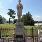
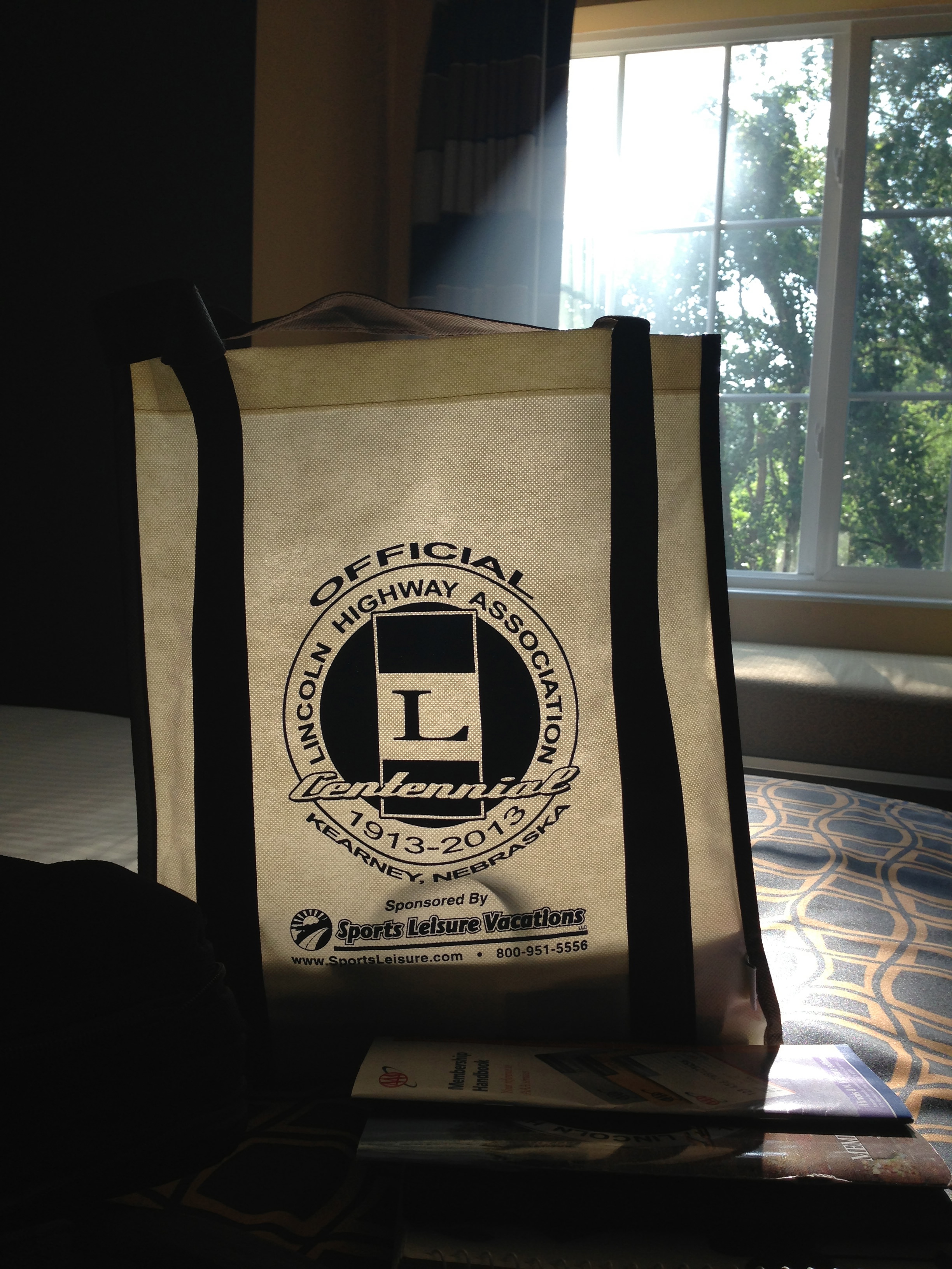
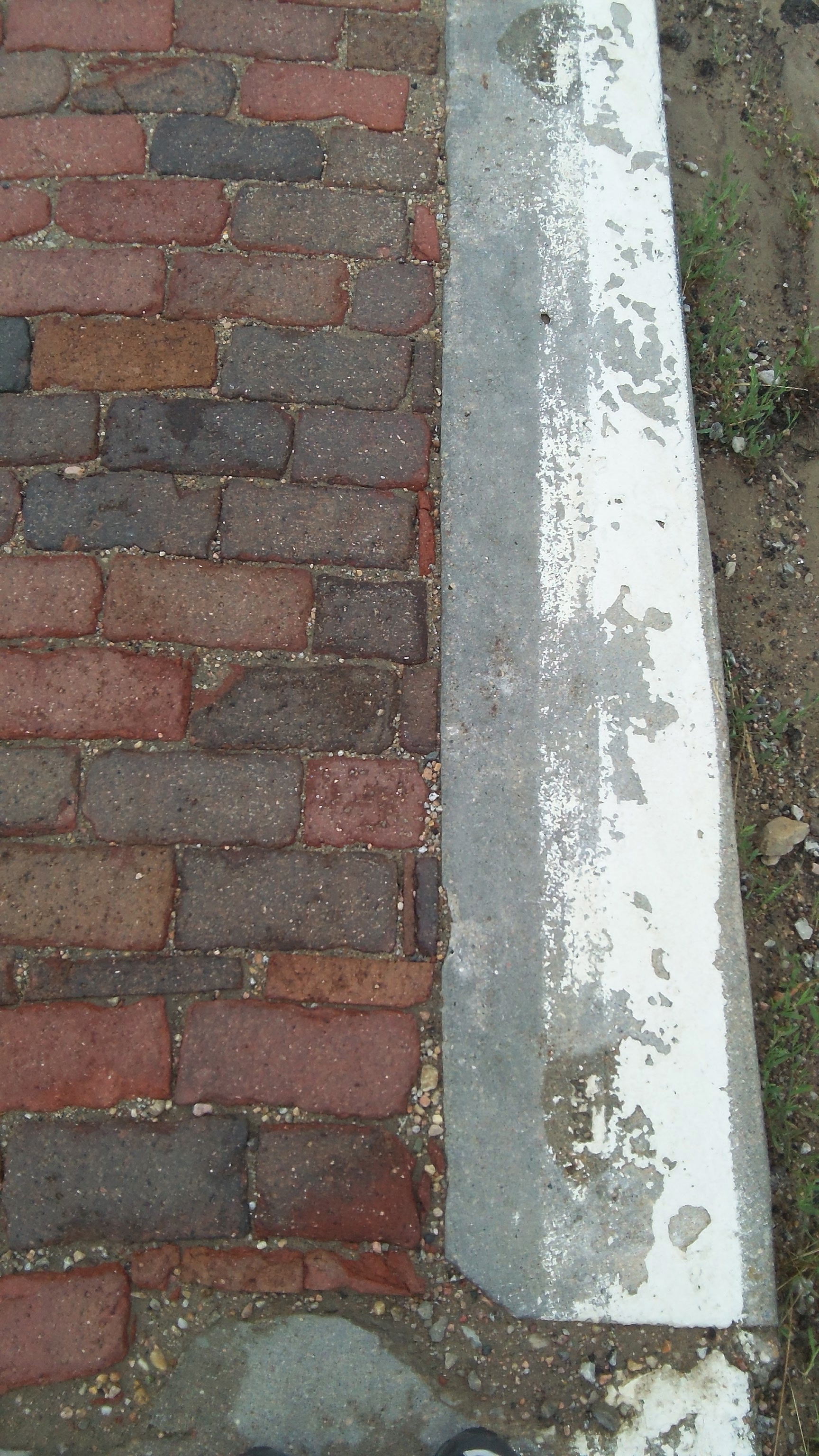
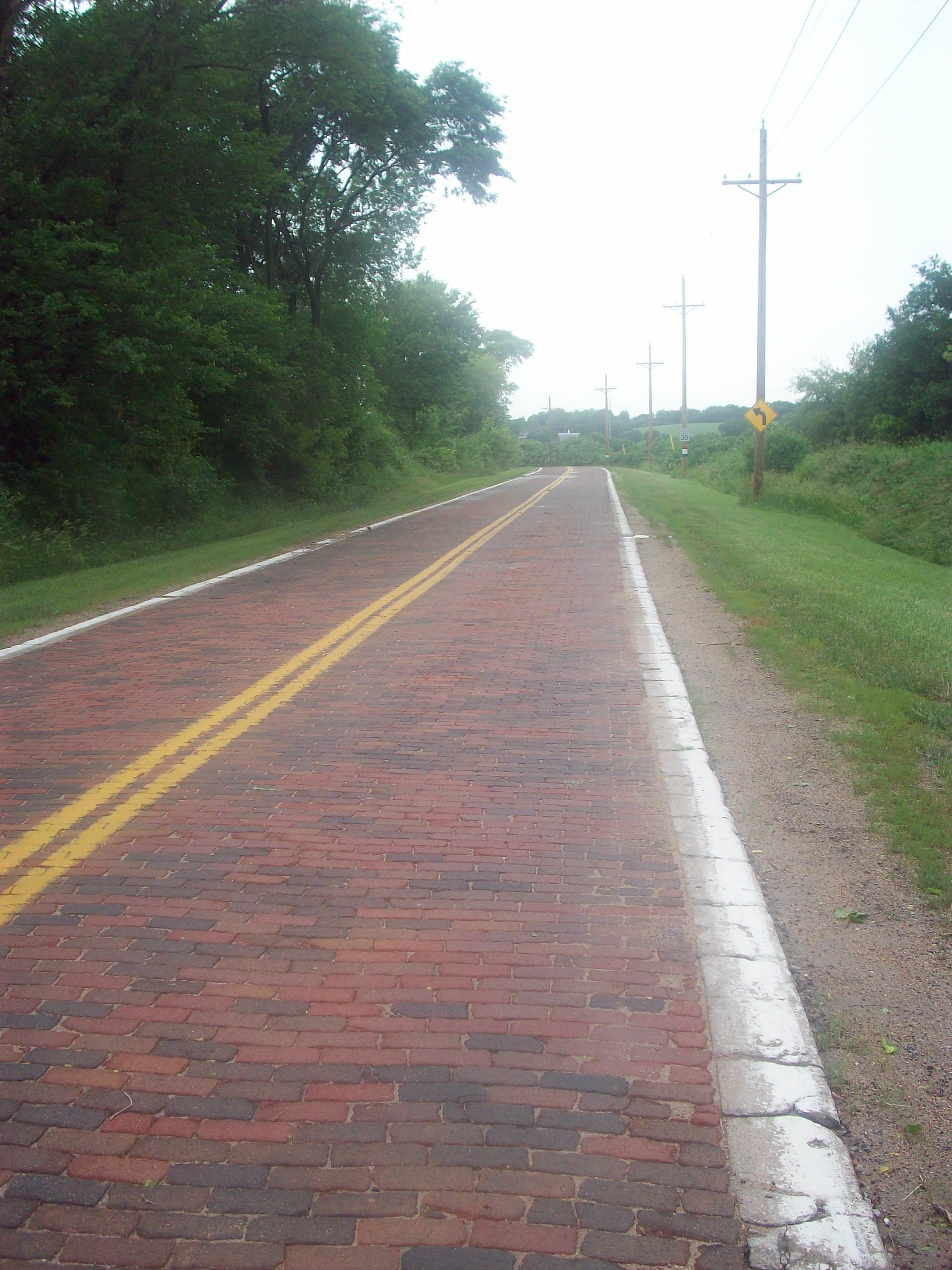
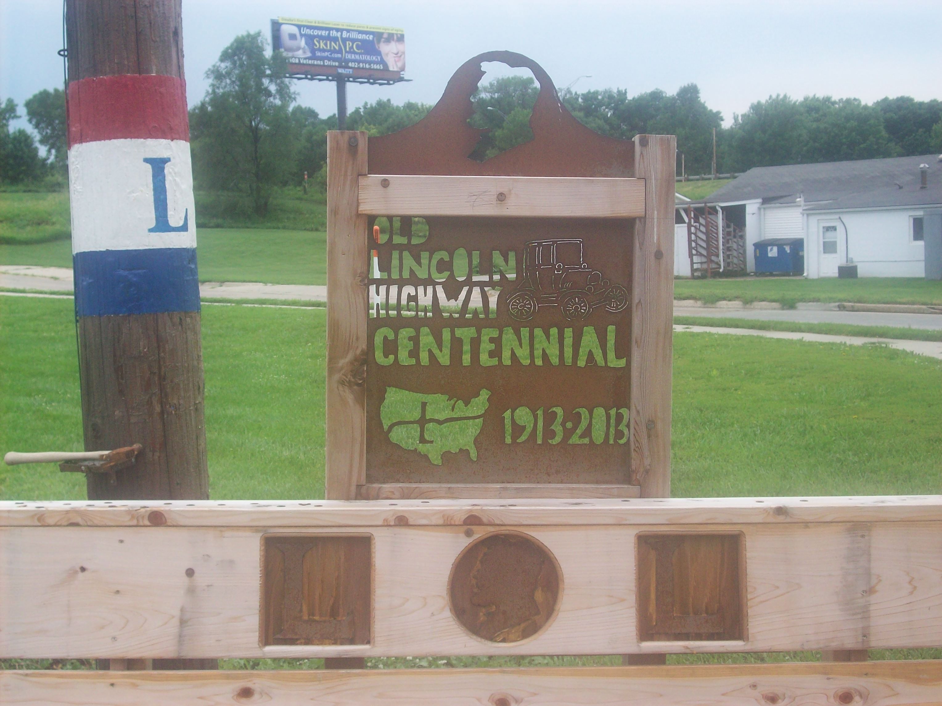
I used to be like a lot of you out there in the US who had stereotypes about Nebraska. I always made the joke “Do you want to drive Nebraska by day to see how boring it is, or do you want to drive Nebraska at night to smell how boring it is?”

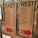
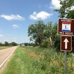
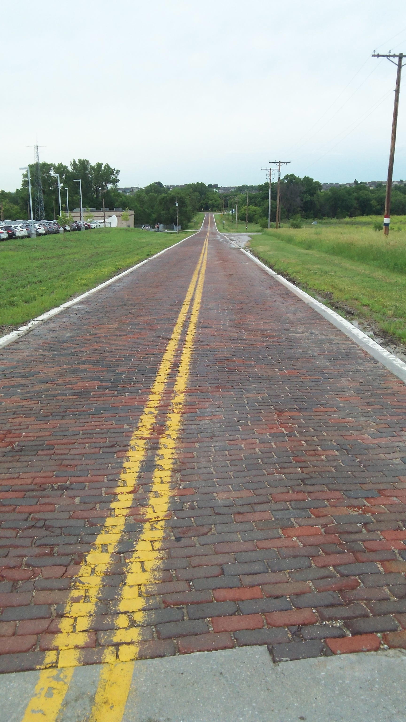
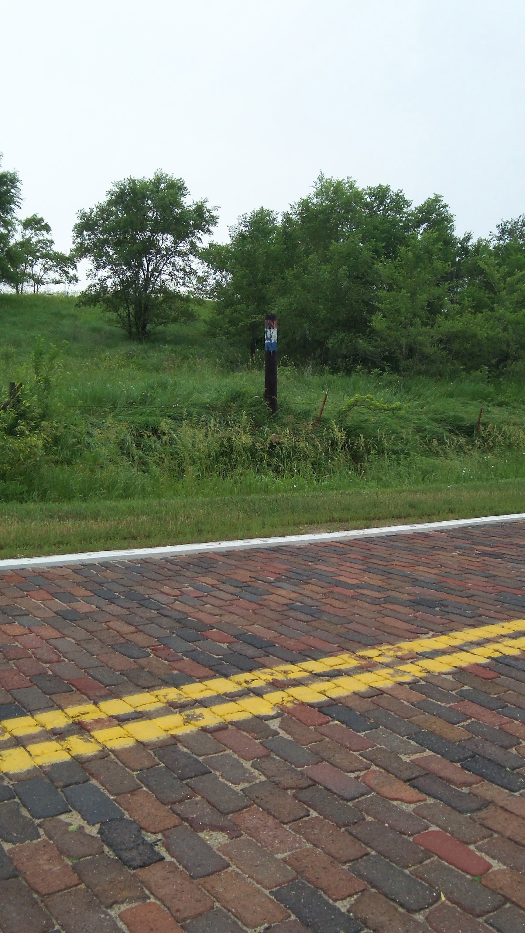
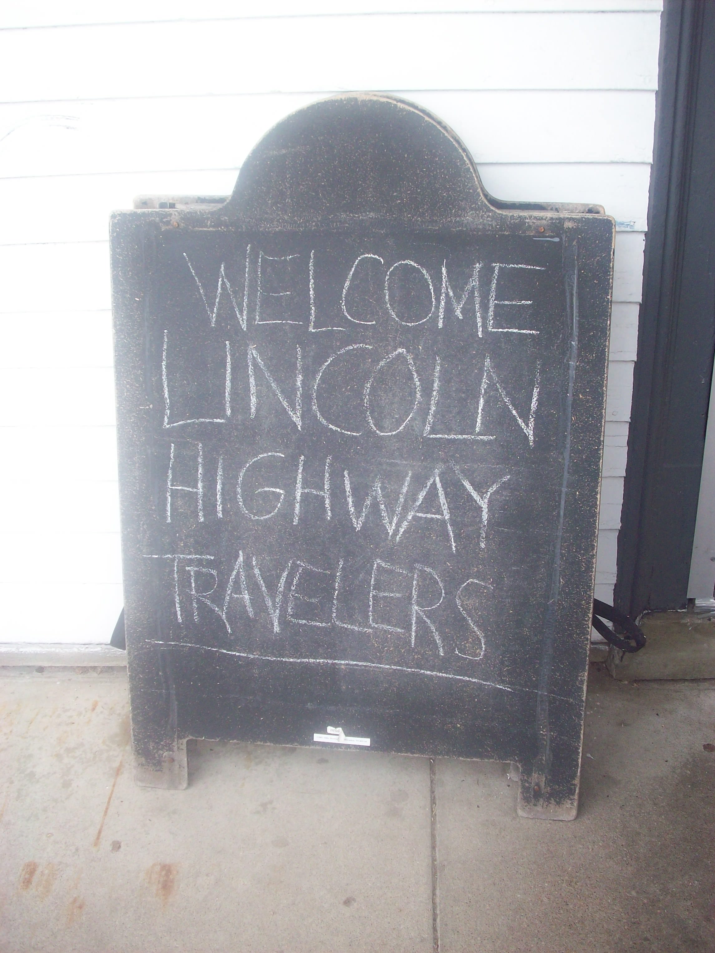
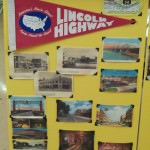
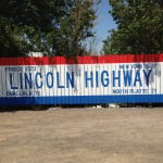
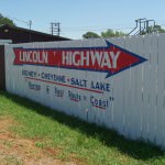
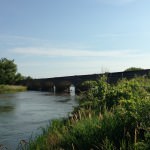
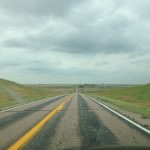
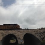
I can’t say that anymore. I saw stuff in Western Nebraska that was amazing, and all I had to do was leave the interstate and drive the Lincoln Highway. As Kevin Patrick noted at the LHA conference, “Friends don’t let friends drive the Interstate,” and I think I’ll start to embrace that motto after this tour is over.

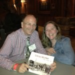
The main people I have to thank for this part of my journey are Muriel (Nebraska Outback is her blog), her husband Mark, and Rob with N Route Entertainment (Muriel helps with this organization as well). They opened my eyes to seeing the beauty of their area, and they support live music and musicians with a passion I haven’t seen anywhere else so far. I left Western Nebraska with a whole other state of mind, and ready for what lies ahead.

I have to admit that the road caught up with me after my performances on the 4th of July. I was a little under the weather for a few days at this point of the tour with a sore throat and ear/sinus pressure. Luckily, it was all caught in time, and I was able to sing for a group of touring Norwegians, Swedish and Danish folks driving across the country.

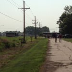
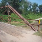
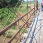
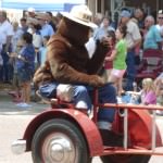
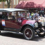
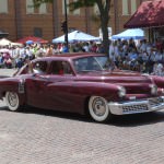
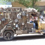
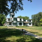
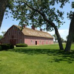
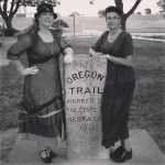
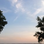
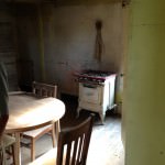
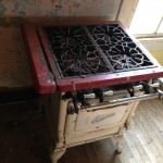
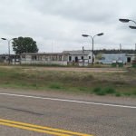
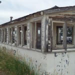
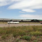
There’s around 70 pictures in this post (get comfy), but here’s a few highlights of the area that I want to write about before you see the pictures:

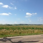
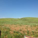
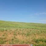
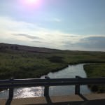
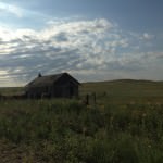
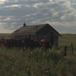
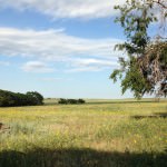
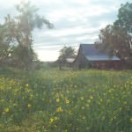
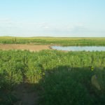
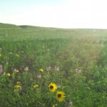
1) While this is not directly on the Lincoln Highway, the Sandhills are truly a magnificent experience that’s close to the route. It is a region of mixed-grass prairie/grass-stabilized sand dunes in north-central Nebraska, covering just over one quarter of the state! You can pretty much Google and see several websites to learn more about it. Muriel has strong family ties to this area, so my driving tour both her and Mark took me on was made that much more magical.

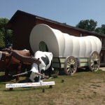
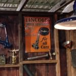
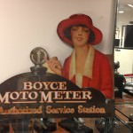
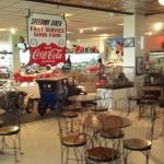
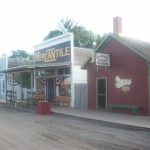
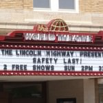
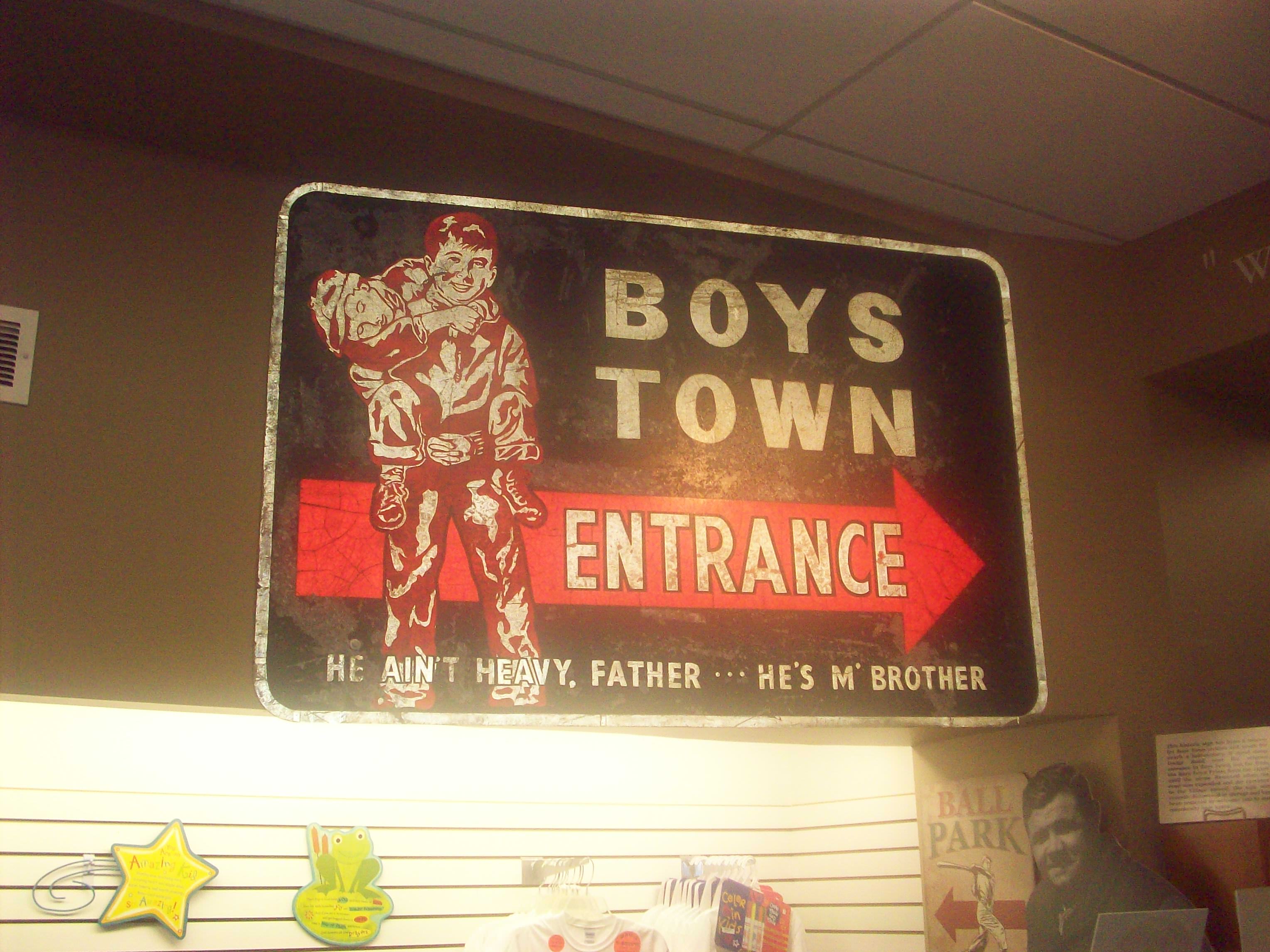
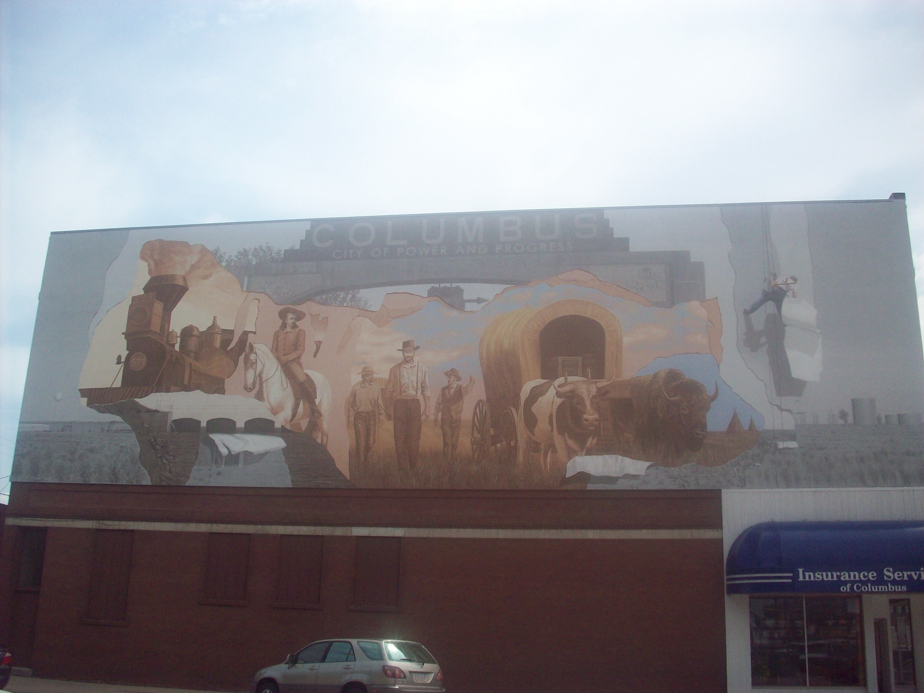
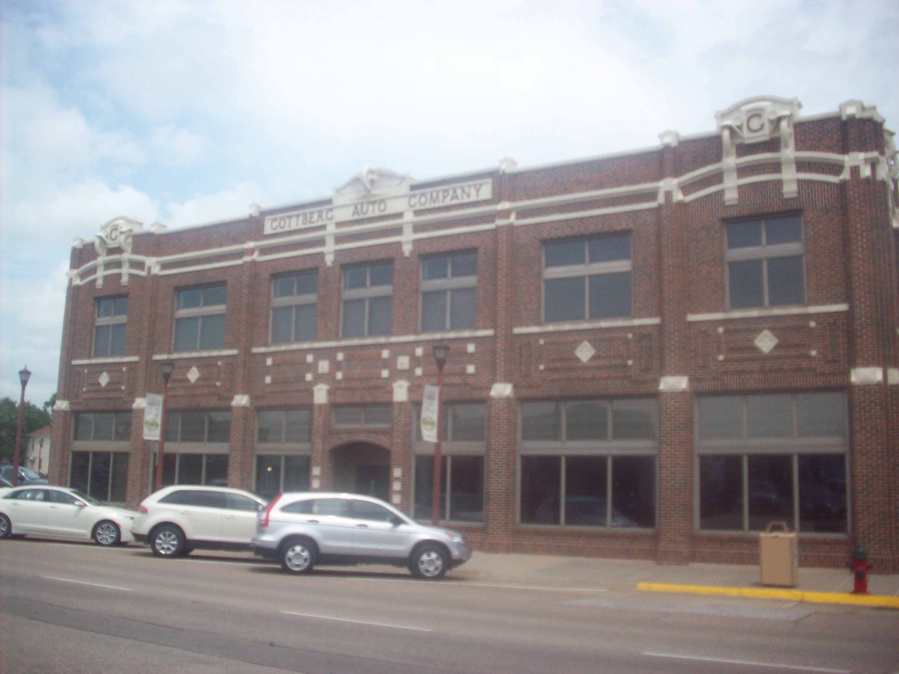
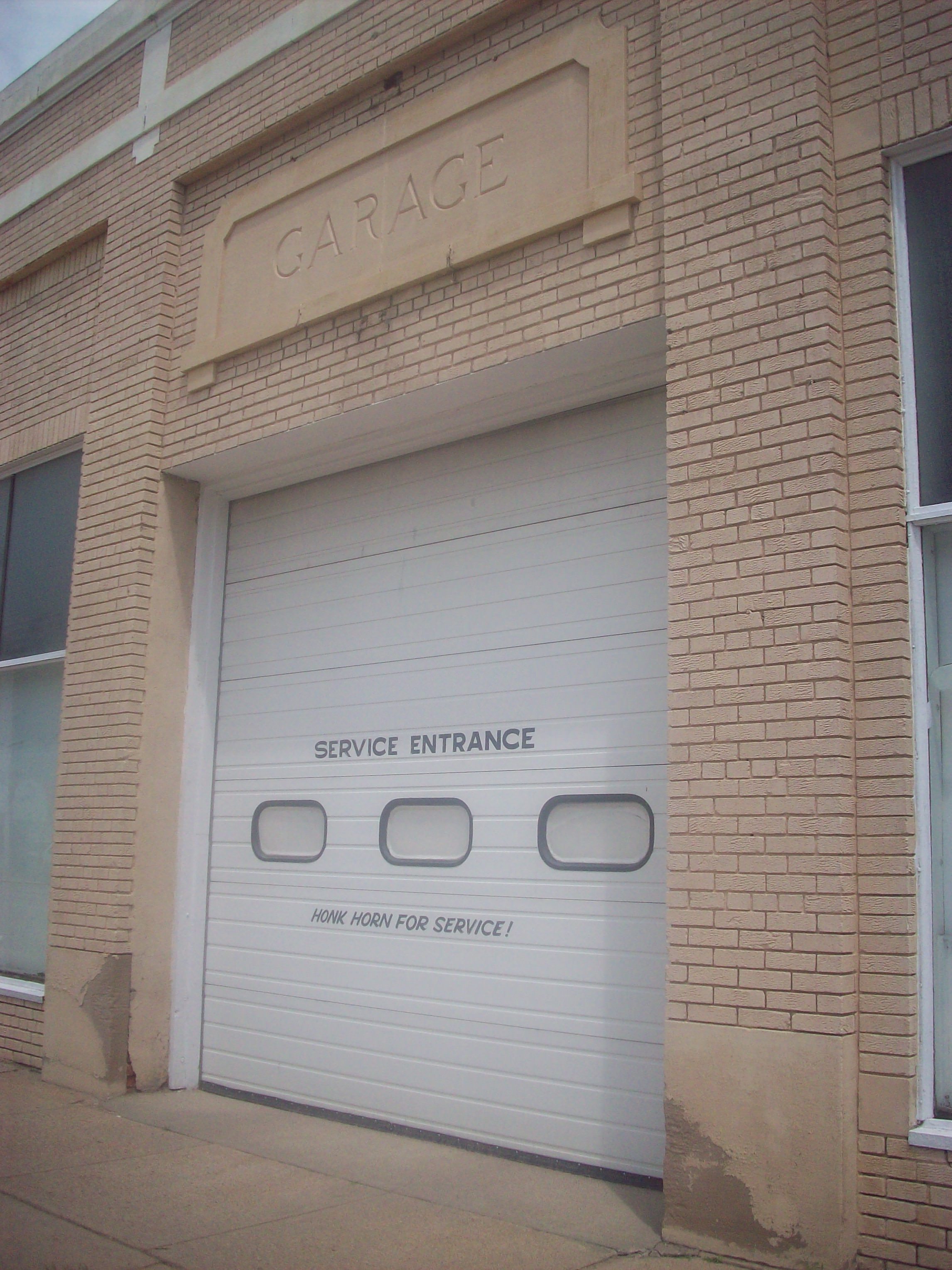
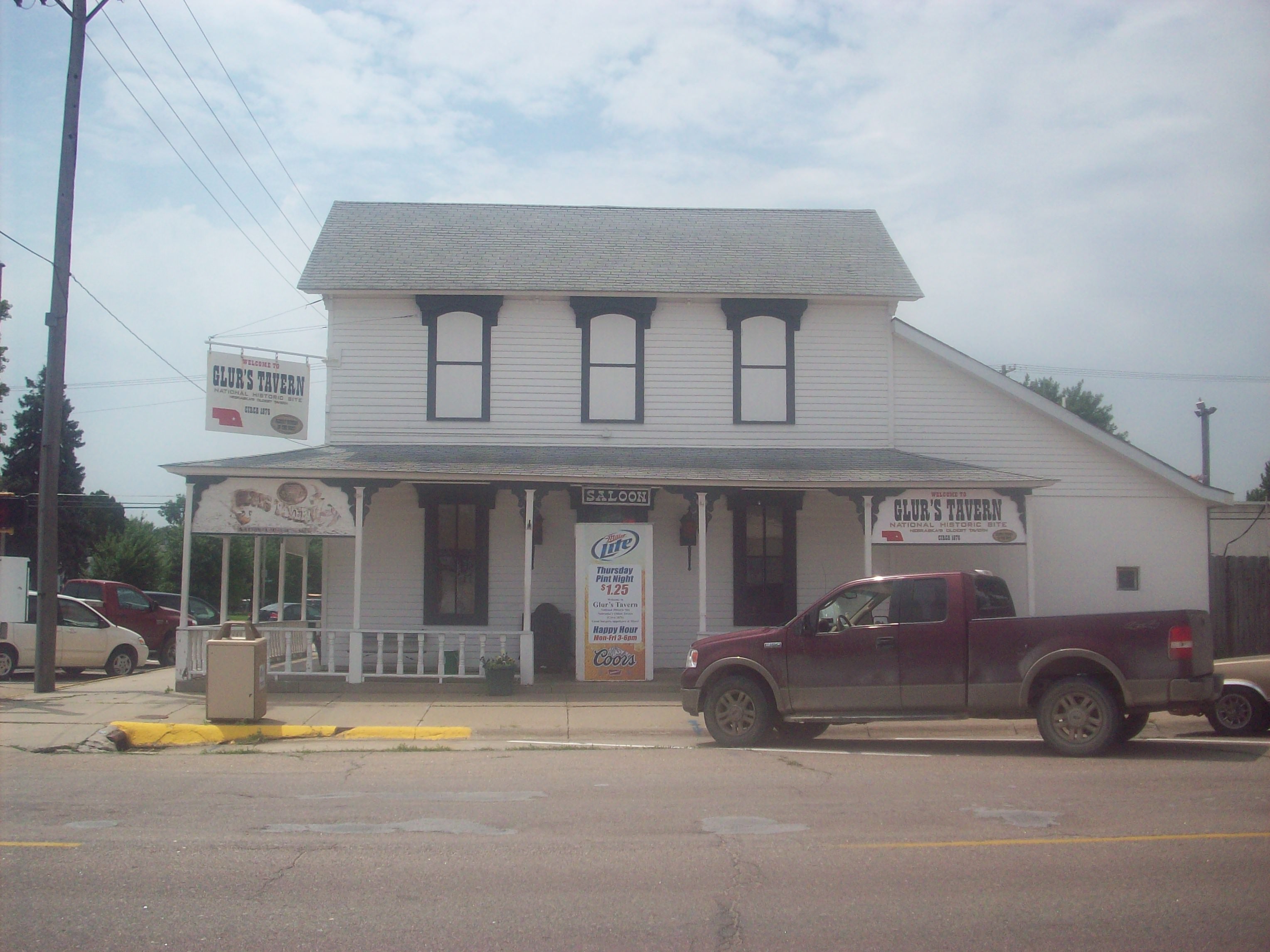
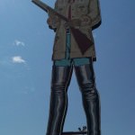
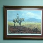
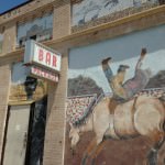
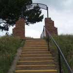
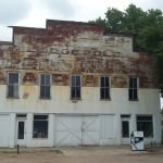
2) If you’re a fan of anything of the Old West, definitely take the time to stop in North Platte. You’ll find plenty of things to do and see there, and you won’t be bored!

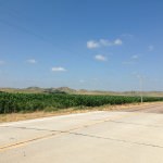
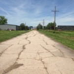
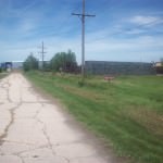
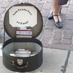
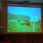
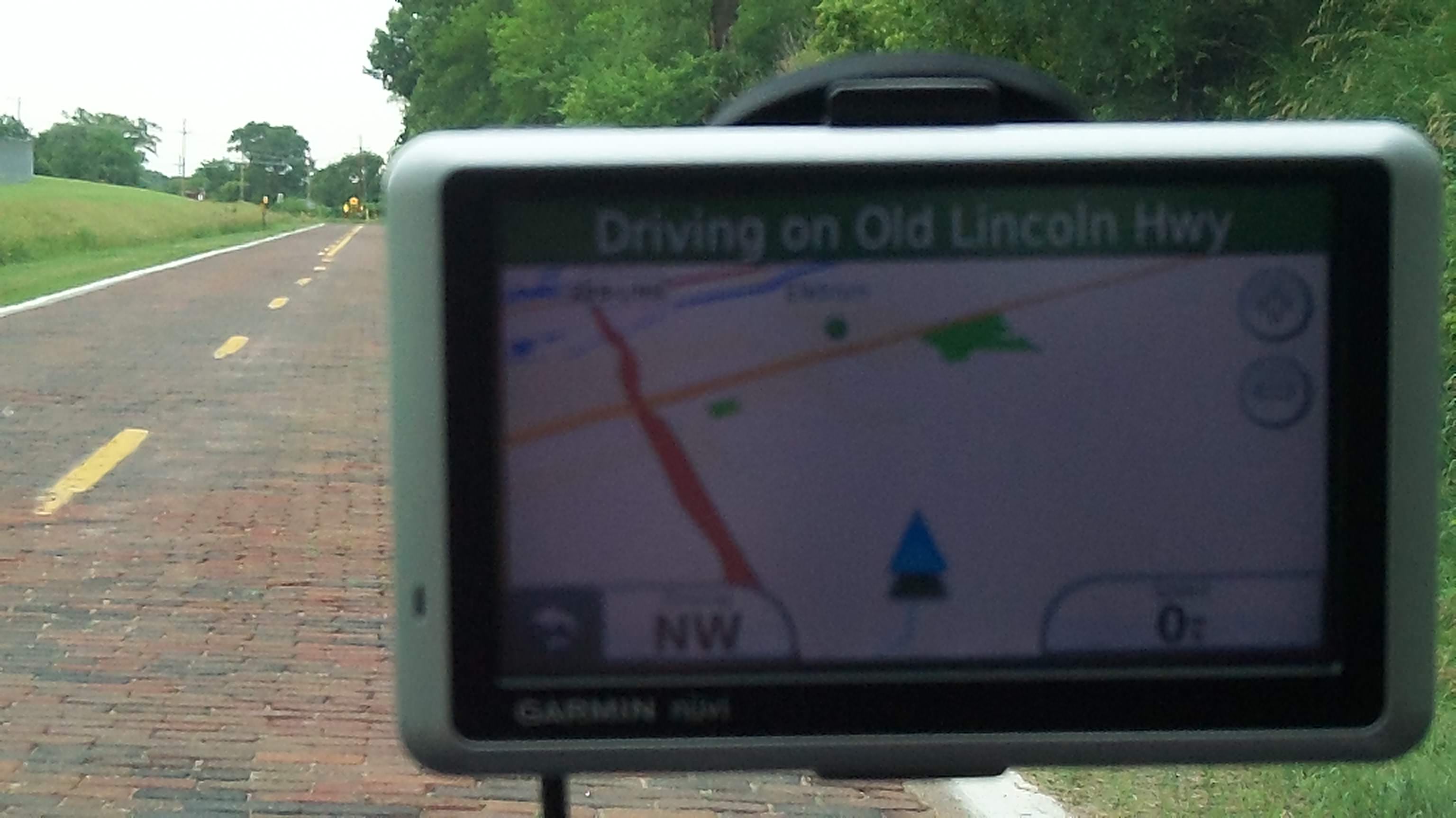
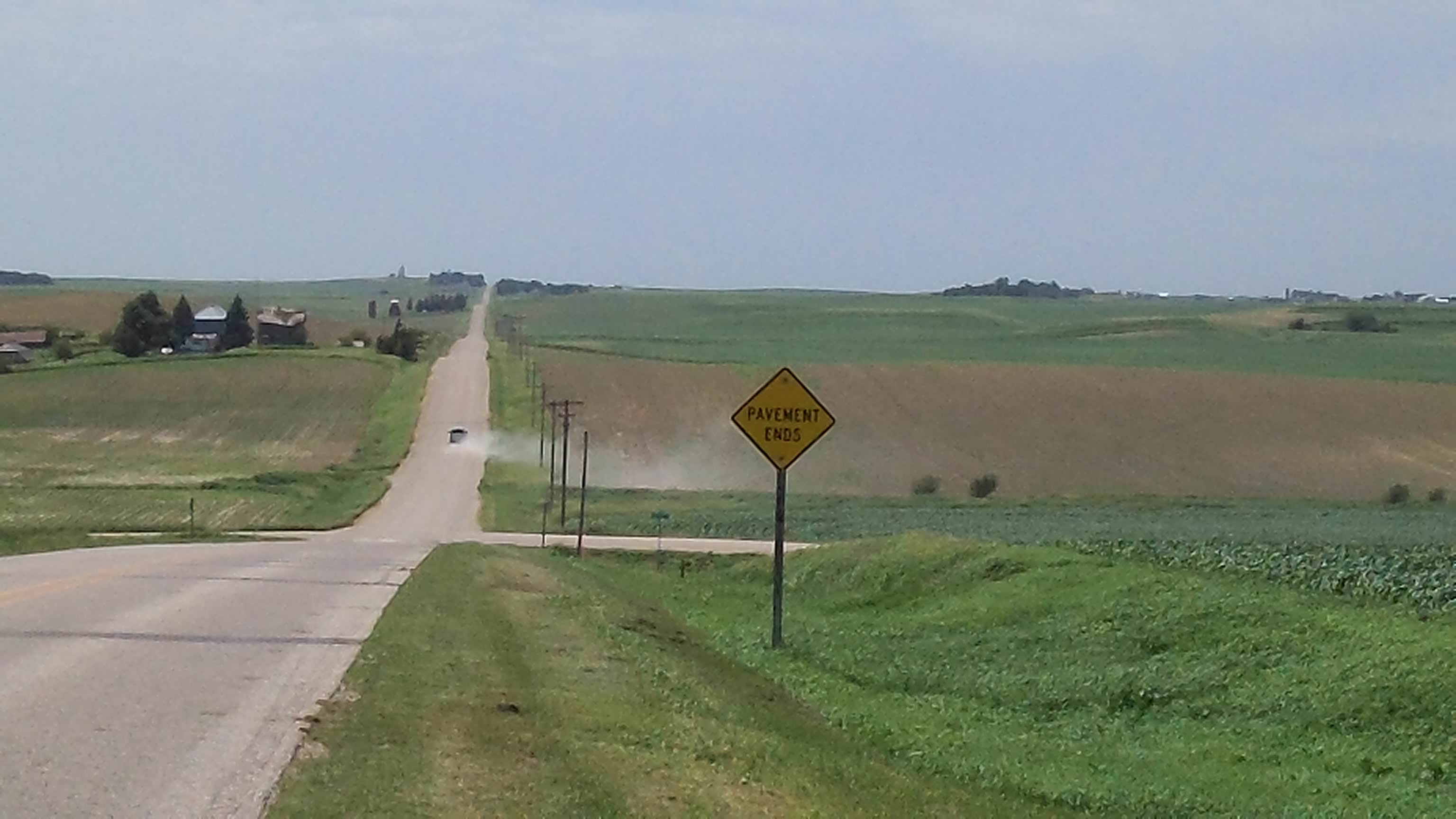
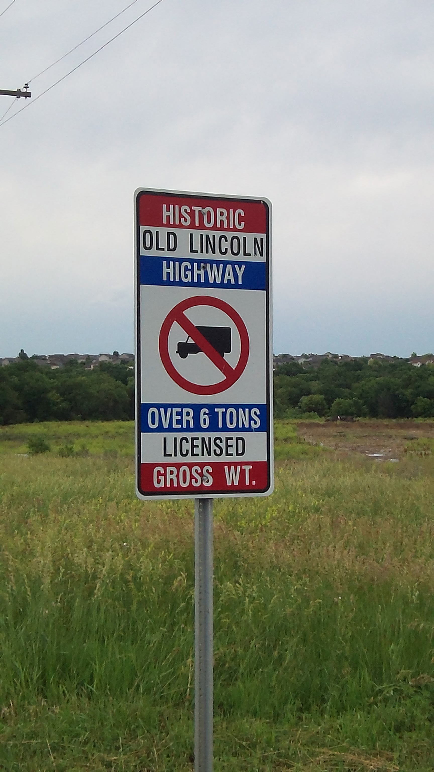
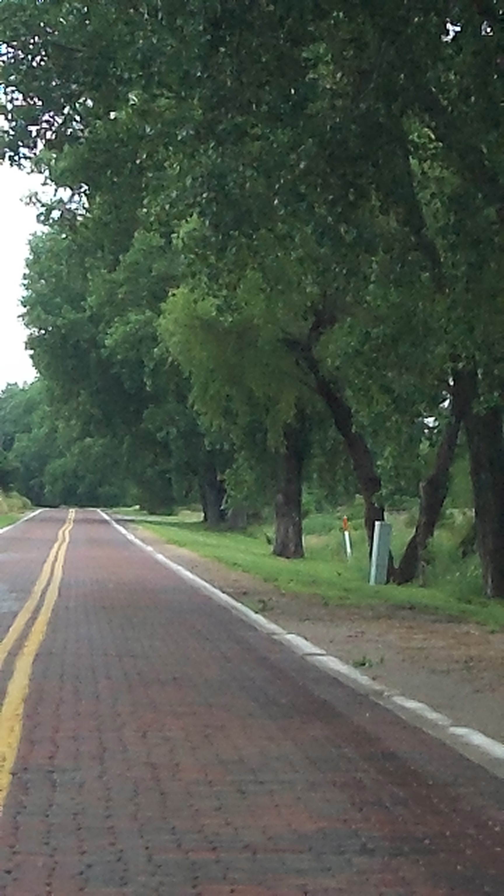
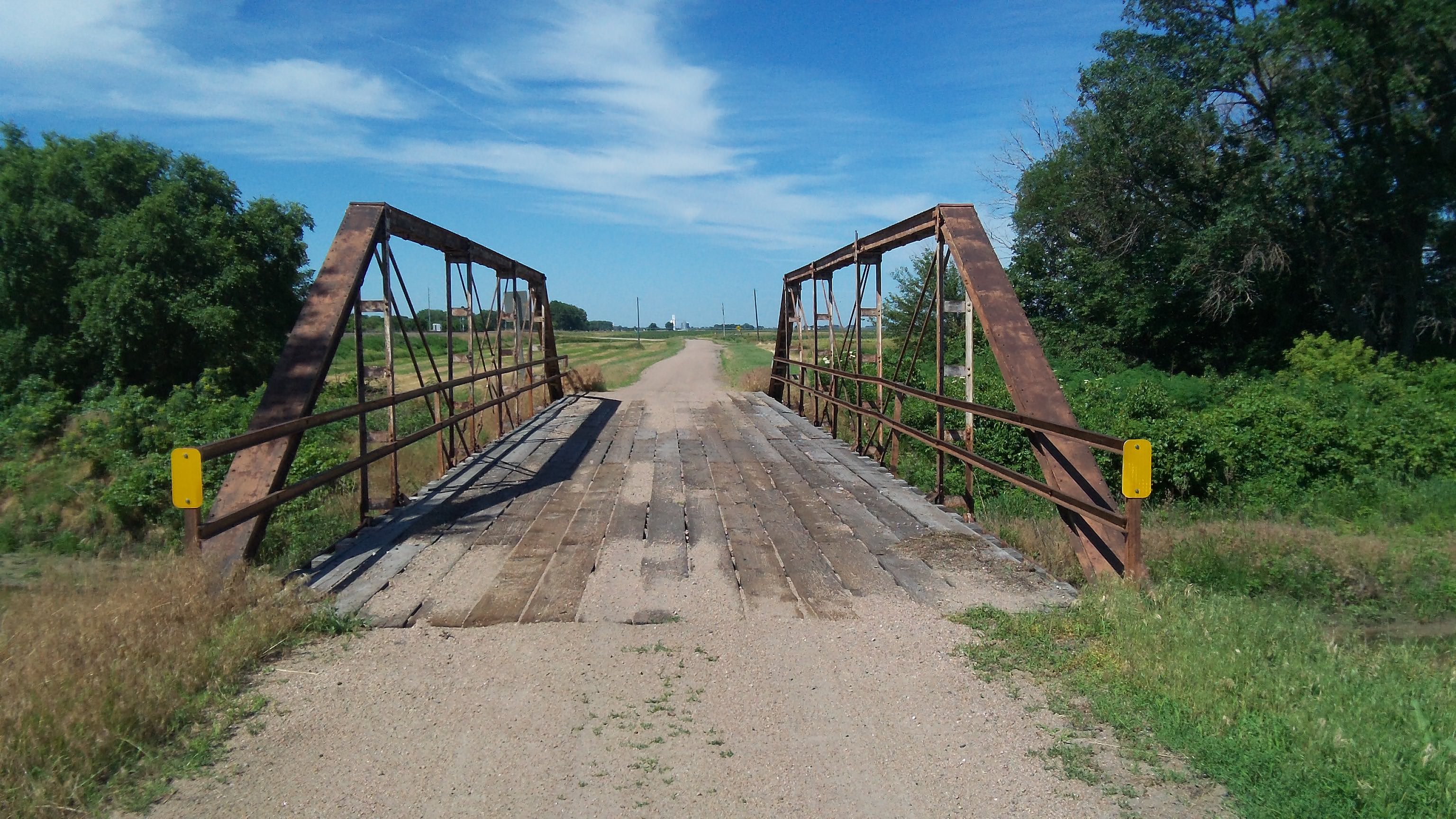
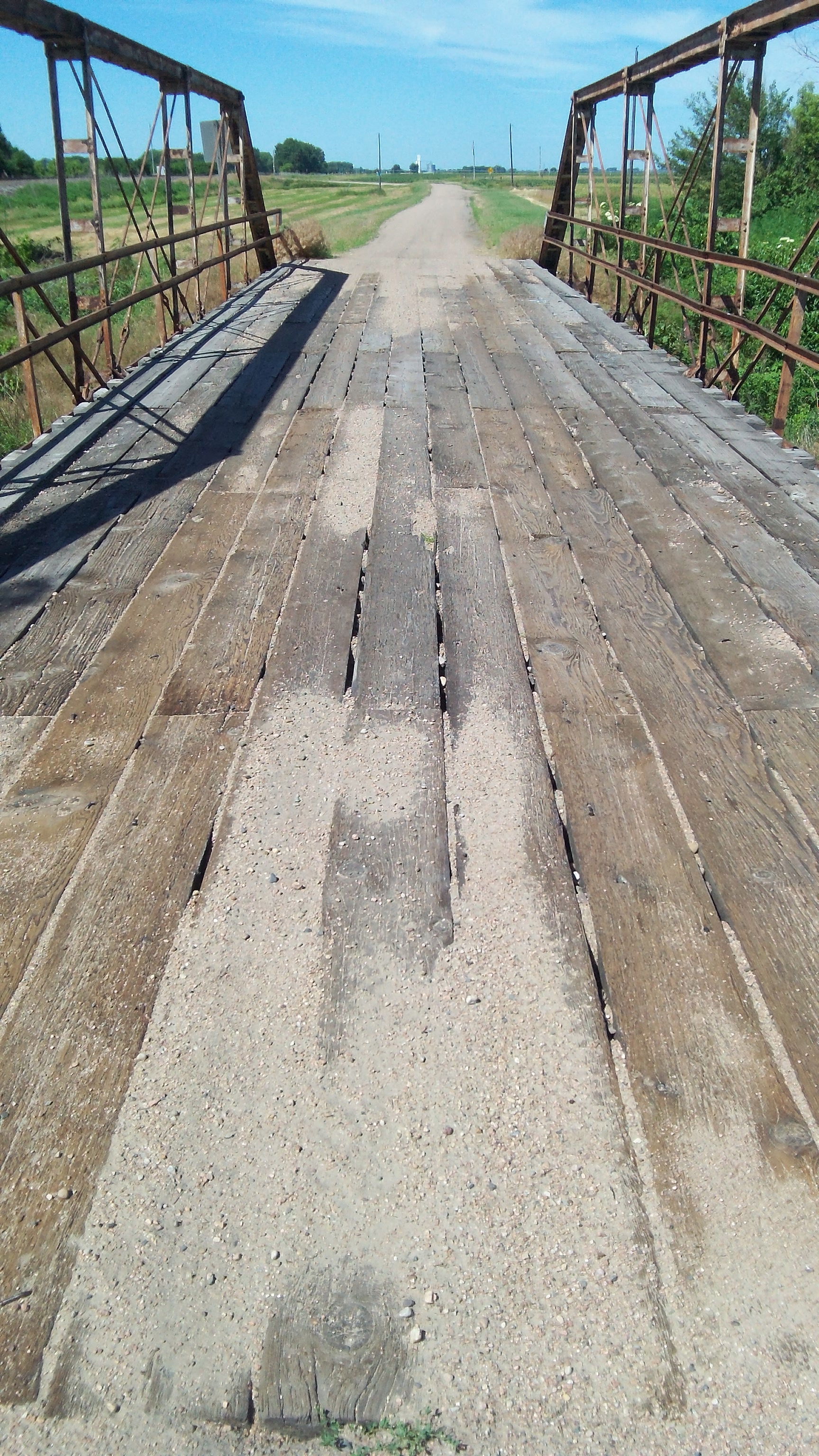
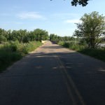
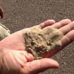
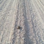
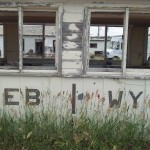
3) You’ll cross into Mountain Time Zone west of Sutherland, NE (my favorite time zone). I noticed on some of the original routes as well as some auxiliary roads you’ll see the sign “Minimum Maintenance Road”. Believe what they say! I wanted to go see some old wagon ruts on “California Hill” and my car got stuck in mud right off of the paved main route. Luckily I wasn’t in too deep and could back myself out of the mud by myself, but this warning as well as a few others is a note of caution for anyone driving the Lincoln solo. When in doubt, don’t drive it!

My view from the stage at the Ft. Cody Trading Post in North Platte, NE. This figure was originally a “Muffler Man” and when the store went out of business they turned him into a “Native American”.
View of the Trading Post from the outside. While it is now located on the interstate, the original location of the post was west of town on the Lincoln Highway.
Buffalo Bill stands tall in North Platte!
This was a special Lincoln Highway display the trading post had up to mark the centennial of the road.
A photo of Buffalo Bill’s Miniature Wild West Show. Over 20,000 tiny hand-carved figures populate dioramas of Bill’s show, were created by Ernie and Virginia Palmquist over a 12 year period. It was really neat to see all of the details!
The biggest LH marker I’ve seen so far!
Just outside of North Platte sits Buffalo Bill’s Scout Rest Ranch. A place of retreat for Bill from all of the touring, this home was built in 1886, with the “new” edition built in 1909.
Here’s the barn on the grounds. It was a working farm with over 4,000 acres at its largest point in time.
Here’s Muriel and I dressed up for my performance at the Oregon Golf Course in Sutherland, NE (about 20 miles West of North Platte). Pretty cool to perform with an Oregon Trail marker so close!
The Sutherland Reservoir is right next to the golf course, and it was the perfect spot to celebrate the 4th of July.
While this was a nice depiction of the West, it unfortunately was viewed while I was in a Doctor’s office.
Welcome to downtown Sutherland! You’ll see in the next few pics it’s quite the Lincoln Highway town.
This mural is a reproduction of the famous Franklin Grove, IL mural, the only difference is the mileage between the cities.
This is an excerpt of a mural that the town of Sutherland painted for its Sesquicentennial.
Of course if it’s got the word “Otto” in it, I have to take a picture!
This mural was created by Sutherland school children. Muriel’s son helped paint it!
This is the oldest building in Sutherland. It is currently vacant, but people hope to reopen it again soon.
Burma Shave Signs don’t have to just be along the road…
They can be on buildings as well!
Mural in progress next to an old gas station that is in the process being restored.
Another Sutherland gas station gets another face lift!
Another great recreation of a famous Lincoln Highway mural (more on it in my next post).
Waiting for a train.
The Sutherland State Aid Bridge was built in 1912, and is in danger of being torn down.
Here’s a view of the bridge from the side.
If you look closely, you can see the wagon ruts from where the Mormons went through this area in the 1840’s.
Continuation of the previous picture.
Sand of the Sandhills. As you can see, it’s pretty fine stuff.
There will be several landscape views of the Sandhills coming up, and this is #1.
Mark hands me some Yucca plant to try. Not my favorite thing to eat, but not horrible either.
This is the Schoolhouse where Muriel said she went to school. She also mentioned that dances would be held here once a month.
Closeup of the Schoolhouse. Note the cows are very interested in us…
Here’s what Muriel’s family homestead looked like from the outside.
View of the main room in the homestead.
Love this old stove! It is not original to the home, but has been donated for its restoration efforts.
Exterior view from the homestead.
Here’s another view of the homestead.
Another out-building on the land.
I love the sunflowers in this view.
Sunflowers in the Sandhills.
As I learned from Muriel, we must always help the turtles find their way across the road.
Sunset in the the Sandhills.
Three people from the tour who came to my Saturday afternoon performance – they were all from Denmark.
Here’s a shot of a few of the cars that the tour drove. I loved the Imperial in the middle.
Love this old car!
Ole’s Big Game Steakhouse is very well known as a must stop not only along the Lincoln but in all of Nebraska as well. It opened the day after Prohibition ended in 1933.
All of the animals in Ole’s were caught by the original owner himself.
Love this old lamp at Big Ole’s Steakhouse
Another great old jukebox.
The Spruce Street Station in Ogallala, NE has been restored back to its original glory.
Ogallala’s Boot Hill Cemetery is a great little stop along the road.
View of the Cemetery with the “Cowboy Boss” looking on.
This woman and infant were the first people to be buried at Boot Hill Cemetery.
“Unknown Cowboy, 1882”
One of the last Lincoln Highways I might see for a while…
Here’s a shot of the road from my car as I was driving in the Panhandle.
Duck Crossing along the highway!
This building in Lodgepole, NE has one of the best ghost signs I’ve seen so far. Hopefully the Opera house will be restored again soon.
Cows on the run in Sidney, NE!
The Potter Soda Fountain supposedly is one of coolest places to stop an experience an old soda or tin roof sundae. Too bad it was closed when I drove through.
The original Lincoln Highway went under the railroad here. Lucky for me a train was going by!
One of the biggest gas stations in the US was the State Line Gas Station on the Nebraska/Wyoming border. There are 18 pumps in total.
Closeup of the Station.
While standing at the abandoned gas station, both a train a few Norwegian cars went by!
Here’s where the line was drawn for the border.

I hope you enjoyed the pictures! Up next I’ll talk about the infamous “Colorado Loop”. Until then, enjoy your week!

Filed Under: Driving, Grassroots, History, Lincoln Highway, Lincoln Highway Conference, Nebraska, Venue Tagged With: Buffalo Bill, Homestead, Kevin Patrick, Lincoln Highway, Lincoln Highway Association, Live Music, Local Music, Muriel Clark, N Route Entertainment, Nebraska, Nebraska Outback, Ogallala, Panhandle, Pioneer, Prairie, Sandhills

Kearney to North Platte: Exploring more of Central Nebraska

July 28, 2013 by Cece

As I left Kearney, NE on the morning of July 4th, the road changed for me yet again. This time the road had a different buzz then before. The big centennial celebrations were over, but because of the holiday nothing had been taken down yet. Town still kept various things open not only for the holiday, but for Lincoln Highway travelers like myself. In one of my previous posts, I remarked about what the route looked like in advance of the car tours. Would everything go back to the way it was, or would it all stay up for the rest of the summer? Would the Lincoln still be prominent in people’s minds, or would it fade away again? I’d have to drive further down the road to see what happened…

It’s about 100 miles as the crow files from Kearney to North Platte, but in these parts it takes a lot longer to get there than one would think thanks to the famous “Stair Steps” along the route. If you drive US 30 in this part, you are NOT driving on the original highway. When the Lincoln was being plotted 100 years ago, it was tricky in those days to get across the South Platte River. They used the existing roads of the time, which followed section lines around farms. These lines formed a stair step pattern when you looked at a map. You can read more about this part of the route here. It winds and curves, dozens of times, but it a beautiful and historic stretch of road. Thanks to the efforts of Muriel Clark with Nebraska Outback (more about her in my next post), this section of the road now has signage directing you along all of these twists and turns. When I was photographing the road they were in process of getting all of the signs up, so it should now (as of today’s date) be fully marked.

Because I had to be in North Platte at a specific time, I had to drive this section on two different days. I followed the original route until Gothenburg on the 4th, and then I came back and drove the original route from Gothenburg to North Platte a few days later. I really loved driving this part of the route, and I’m glad I took the time to see it.

About four miles west of Kearney is the famous covered wagon being pulled by two oxen. It was a souvenir stand along the highway for many years. The adjacent building is being renovated into a multipurpose building.
The Overton bridge shows where the original highway alignment used to be.
The bridge has been freshly painted, and it looks great!
The city of Cozad Nebraska marks the place where the 100th meridian intersects with the routes of the Oregon Trail, Pony Express, transcontinental railroad, and the Lincoln Highway.
Gothenburg’s Pony Express Station is a really nice authentic stop to get a little history and a bottle of water!
Here’s an interior view of the cabin.
These signs show how many miles to various cities around the US.
This is the beginning of the Gothenburg Steps south of the city.
You can see the change in pavement in this shot.
Near Brady, NE you can find Conroy’s Grave. It reads: “A. Conroy Sept. 1868 Killed by the Sioux while mowing hay For the government troops”
This soldier marks where the original Ft. McPherson once stood. This statue was put in its place in 1928.
Fort McPherson National Cemetery is located along the original Lincoln Highway route. It was first started in 1863.
Grave #1 at Fort McPherson.
Child who died at the Fort.
Another beautiful tribute to a soldier.
You can see in this detail how this person died.
This Monument commemorates the men killed in an 1854 massacre.
You’ll see that there are musicians among the dead from this massacre.
After I left Ft. McPherson, I finally started to see the Lincoln Highway signs!
Pony Express Marker along the route.
Another great old bridge along the Lincoln, this time I felt safer going across this one.
Detail of bridge.
Here’s another Gothenburg Stair Step sign, noting the curve this time.
There were several Oregon Trail Markers along the road , but this one is in excellent condition.
Here’s some detail in the marker.
You saw old and new phone poles coexisting along the route in many places.
I thought I’d leave you all with this parting shot. I can’t wait to see what lies down the road!

Filed Under: Driving, Nebraska, Odds and Ends Tagged With: Brady, Conroy's Grave, Ft. McPherson, Gothenburg, Lincoln Highway, Muriel Clark, Nebraska, Nebraska Outback, Oregon Trail, Pony Express, Stair Steps, The Old West

Summary of the 2013 Lincoln Highway Conference

July 25, 2013 by Cece

A Lincoln Highway celebration would not be complete without attending this Lincoln Highway Association’s annual conference this year. This is the 21st conference the Association has held, and it did not disappoint. I wasn’t able to stay for the whole conference this time (just Tuesday and Wednesday), but I had a lot of fun hanging out with old friends and learning new things about the Lincoln.

Our bus tour on Tuesday went back into central Nebraska, and I got to revisit some of the places I had seen the week prior. For me, it was a good chance to get some more pictures (the lighting had changed because of the weather), see old friends and make new ones. The new place I went to on this tour was the Museum of American Speed. I’m not a gear head, so I thought I was going to be bored. I was SO wrong. There were so many exhibits of different auto related things, there really was something for everyone.

Wednesday was seminar day, and all of the presentations that I saw were fantastic. I wasn’t able to stay all day because I was being interviewed for a documentary (more on that in a future post). The evening concluded with me performing for the awards banquet, breaking down my table in the book room (it’s the best way to find me at the conference), and saying my thank yous and goodbyes to everyone before I went back to my hotel room to pack and get ready for the next stage of the tour.

I love going to the conference every year, and I look forward to next year’s conference in Utah! Here’s a few pictures of the conference for your viewing pleasure (Also check out Denny Gibson’s posts about the conference, you’ll learn some random things about me). My next post will be a continuation of Central Nebraska (it’s a pretty big state), focusing from Kearney to North Platte. Until then, have a good weekend everyone!

Another View of Grand Island’s Seedling mile, this time with the LHA tour.
We went back to visit the Pony Truss bridge I was a little freaked out about visiting, and there was a welcoming committee this time! They brought along some of these old cool signs dating back to the 20s.
Here’s another pic of the bridge, as you can see the water went down a little bit!
I could honestly photograph this bridge for an hour, so many cool shadows.
Here’s Russell and Jay near some local “foliage”. To curb deer from getting into places they shouldn’t go, hemp plants grow in/around most ditches in Nebraska. We actually had a cop sitting near us to make sure we wouldn’t procure anything.
The Merrick County Courthouse in Central City, Nebraska is the site of the first proclamation of the Lincoln Highway, on October 8, 1913.
We ate lunch at Duster’s in Gothenburg, NE, the place where I got that awesome root beer at in my previous posts of this area. This is a mural that’s inside the restaurant, which shows people traveling across the country.
Off to Lincoln, Nebraska next! Yes, it’s technically not on the highway, but honestly the Museum of American Speed was much more fun that I thought it was going to be. This whole wing of the museum was dedicated just to albums of racetracks and car noises.
Here’s a record of the first Dodge driving the Andes Mountains in 1923.
Most people remember Thomas Dolby for the song “He Blinded Me with Science”, not “Aliens Ate My Buick”.
Loved this old Jukebox!
Jukebox detail
Going up the stairwell from the 2nd to the 3rd floor I ran into this Lunch Box collection. It was one of the coolest retro things I’ve ever seen.
If you haven’t heard this song, go to YouTube and listen to it-now. It’s hilarious. I will probably sing it on my next tour.
And I thought my Dad hoarded tools, here’s a wall of Monkey Wrenches.
Inside this massive museum (3 floors), they had a replica of a 1920’s garage, including the “Lincoln Shock Absorbers”.
From the 3rd floor of the museum, you can see the whole view of downtown Lincoln, NE, including its unique state capitol building.
In the song “Preparing for the Lincoln Way” composed by Nolan Stolz, I’ve been singing about a “Motometer”. I finally got to see a sign of one at this museum, pretty cool!
Who’s got Moxie?
Here’s the view of the replica soda shop in the museum.
There were several dioramas on the 3rd floor, but this one was my favorite.
Sign greeting you at the hotel, painted by Iowa artist and LH enthusiast John Fitzsimmons.
We all gathered for our group picture Wednesday morning wearing our best red, white and blue shirts. I turned around a snapped a pic after we were done with the photo shoot.
I had the honor of singing at the LHA awards banquet this year, and they put me at the head table! What great view.
Never again will my little car be surrounded by two other beautiful cars of completely different periods.
Again, here’s another great photo and sign display.
Lots of people brought out some great Lincoln Highway signs and memorabilia for this year’s conference.
My favorite part of Seminar Day was hearing the panel of the early founders of the Modern LHA, which included Joyce and Bob Ausberger, Brian Butko, Kevin Patrick and Drake Hokanson (first man to write a book about the highway).
Seminar day had a lot of great talks about Lincoln Highway history. From general facts to the Tin Can tourist travel to learning more about the Colorado Loop, it was a great day.
The food for the banquet was excellent, and for my friends who have food issues, the Holiday Inn in Kearney did a great job!

Filed Under: Lincoln Highway, Lincoln Highway Conference, Music, Nebraska Tagged With: Banquet, Bob Ausberger, Brian Butko, Bridge, Display Rooms, Grand Island, Joyce Ausberger, Kearney, Kevin Patrick, LHA, Seedling Mile

Central Nebraska Highlights, plus the Lincoln Highway turns 100!

July 14, 2013 by Cece

The last few weeks have been non-stop! Between the performances, interviews, and just general merriment, it’s all been amazing! Unfortunately, the road has finally caught up to me almost 4 months later. My immune system crashed, I got sick, and I’m now resting and recovering for the next stage of the tour. I can finally sit down and update you on this exciting time in the Lincoln Highway’s history.

I’m doing the next couple posts slightly out of sequence because there’s so much information to cover. Today’s post will focus on Grand Island and all of the festivities for the Lincoln Highway’s 100th birthday in Kearney. My next post will be about the 2013 Lincoln Highway Association’s annual conference (of which I am a proud member), and then I’ll resume my regular posts which head westward.

Wow, where do I start in regards to all of this? There’s still a mix of honor and disbelief that I was a part of the Lincoln Highway’s birthday. It all went by SO fast! What really accelerated things for me were all of the various TV, newspaper and documentary interviews I did during this time (all media stuff I did was a complete surprise to me). This is the first time on the tour where people walked up to me and knew who I was! Audiences in Grand Island and Kearney overall were very enthusiastic of the project and the music, and the Lincoln Highway pride was in full force everywhere. It was amazing to have so many people from all over the world in one place celebrating America’s first transcontinental road, and to be a part of those festivities was so humbling.

I truly wish I could have had more time to spend in Grand Island. There’s a lot of really wonderful things going on in this town. Originally I was set to perform in the Grand Theatre, but when renovations weren’t complete, I ended up performing at the Liederkranz instead. The universe direct us to places and people that we never thought we’d meet, and I have to say the Liederkranz is one of those places for me. It was an amazing place to sing, and the owners Fred and Gloria are top notch people in the community. The city of Kearney is roughly half way between San Francisco and New York City, so it was a natural choice to host the Centennial celebration. I got to the city before the LHA auto tours, the Tin Can Tourists, and other folks from all over arrived to the town and everything was all abuzz in anticipation of what was on deck for the coming weekend.

Okay, enough yakking. In a blog first, you’ll see a lot of pictures of me in this post, which is thanks to my husband Dan who was my roadie, photographer, and overall awesome guy during this busy time in the project. I couldn’t have done it without him!

The Shady Bend Campground in Grand Island used to provide gas, food and lodging to travelers for many years, and there were extra amenities like a playground and a sandy beach lake. Today it is now a restaurant.
Love this original sign above the main door at Shady Bend!
Not too far down from Shady Bend is Kensinger’s Gas Station, which is still a fully operating gas station for more than 75 years.
Here’s a picture of the gas station interior. Thanks to Richard Grudzinski for letting me take pictures of everything.
You saw the main room in the previous picture, here’s the back room of the gas station.
The sign to Kensinger’s gas station.
Located behind Kensinger’s in Grand Island, this is an original seedling mile (paved 1915). You can’t drive on it, but you can walk on it.
Another view of the Seedling Mile, with a few Burma Shave signs this time.
The Stuhr Museum of the Prairie Pioneer is a couple miles south of the Lincoln Highway, and definitely a fun must see when in the area.
It’s not fancy, but I’ll take it! The door to my dressing room for my live TV appearance.
Here’s the outside of the building I performed at in Grand Island, the Liederkranz. The club has been around since the 1870’s, but this current building has been in existence since 1911 (it was built along what would become the Lincoln Highway).
The Liederkranz is used for a variety of things from dances to dinners to sing-alongs, acoustically it was a perfect place to sing.
It’s a fuzzy picture, but as you can see this microphone is an old one and has probably been around for a long time.
There is a gentleman counterpart to this tapestry, but I loved these ladies that were awaiting me in at the Liederkranz.
Guess who made front page news in Kearney! What a nice surprise to see when I was checking into the hotel.
Singing for my supper in downtown Kearney.
Will Rogers and I look on at the parade as it goes by.
The Lincoln Highway “Marching Marker” made its debut in Kearney for the parade! I wonder if I’ll see it anywhere else…
Even Smokey the Bear made an appearance!
One of the hundreds of beautiful cars I saw during the parade on Sunday.
I’m not really a car person, but when a Tucker drives by, I pay attention.
These bike riders were so hypnotic to watch.
Officially the most unique car in the parade, this camper/truck made all kinds of fun and crazy noises as well as had some moving parts on the outside too.
Even FDR showed up to the festivities! He really loved my rendition of “God’s Country” (the song mentions the President himself).
My guitar player was Jeff Erpelding, a local Kearney musician who plays in a few bands in the area. Not sure what I’m pointing at, but it must be important!
San Francisco or Bust!
Kearney’s World Theatre was right across the street from where I was singing. It has been recently restored back to its 1920s glory, and it played a silent movie during the festivities.
Here I am with one of the great old cars that was on the 1910s block.
On Monday, I performed two great shows at the Archway to mark the highway’s centennial. In between sets, I ran over to the hotel to set up my table for the Lincoln Highway’s Annual conference (more on that in the next post).
There was a huge celebration at the Archway Monday evening, where there was a lot of good food, music and Lincoln Highway merriment! One of the things that did happen also was the Brian Butko gave a talk on Monday about the newest book he edited “The Lincoln Highway: Photos Through Time”.
Here’s a picture of Brian and I with my signed copy!
Last but most definitely not least, here’s the picture of me in this new Lincoln Highway book! You can find me on page 21. Thanks to Jamie Ralston (My Lincoln Highway) and Brian for putting this picture in the book. It was truly a wonderful surprise to see, especially on the 100th birthday of the road!

Filed Under: Lincoln Highway, Lincoln Highway Conference, Music, Nebraska, Venue Tagged With: Auto Tour, Brian Butko, Centennial Celebration, Grand Island, Kearney, Liederkranz, Lincoln Highway, Lincoln Highway Association, My Lincoln Highway

Bricks, bricks and more bricks! Exploring Western Iowa and Eastern Nebraska

June 27, 2013 by Cece

“Our battered suitcases were piled on the sidewalk again; we had longer ways to go. But no matter, the road is life.”  –Jack Kerouac

With the nearing centennial celebration coming up this weekend in central Nebraska, the highway came to life on a whole other level as soon as I crossed the border. From billboard signs to little Lincoln highway signs taped to telephone poles, the whole state is “Thinkin’ Lincoln” and rightfully so. This past weekend, hundreds of cars of varying ages, makes, and models left both San Francisco and New York City and are heading this way right now. While I’ve certainly longed for this weekend and to see my fellow LHA Members for the conference next week (it will be amazing on so many levels), I have to admit it’s been a little weird to see the metaphorical “wrinkles smoothed over” of the towns I’ve been going through in the last couple days. Don’t get me wrong, it’s nice to see all of the changes and celebrate the highway, but I also wonder what the towns look like when there are no celebrations going on. Are there many Lincoln Highway signs up, or would one get lost trying to find everything? It’s something to think about.

The photos in today’s post are from Scranton, Iowa all the way to Central City, Nebraska. Landscapes start to change from corn fields to rolling hills. The city of Omaha breaks up the highway’s routine of being sleepy and quaint. You drive parallel to a major train route, and you see trains coming and going constantly. Traffic is busier than you would think as it’s still a major thoroughfare for the area. Roads are narrower (with minimal to no shoulder) to keep their historic integrity in some parts, which makes it tricky to drive when it’s super windy as I experienced. You’ll see a TON of brick roads that have been preserved by various communities that I passed through, and it’s interesting to see how different the bricks look in each place.  My favorite finds below are the following (and you’ll see pictures of all of this below):

1) The Village of Boys Town – This place is a must stop for you if you take the original route. They do amazing work, and there are several places that visitors can tour. It’s an important part of the highway’s history (as well as US history) that I fear may be overlooked at times.

2) Elkhorn Brick Road Stretch: You’ll find this west of Boys Town. 3.5 miles of a perfectly preserved brick road including signs, markers, and bridges.

3) The “Avenus of Trees” in Duncan: In the heart of Duncan you’ll see two rows of trees which used to flank the original route.

4) Gardiner Station Section: This can be found in between Duncan and Silver Creek, and here you’ll see an iron truss bridge with a wooden plank floor in amazing condition.

New GPS using world, meet the Old Brick stretch of the highway.
These two Lincoln Busts (fully restored) now look over the corner of the LH in Scranton.
I was struck by this part of the road, and had to pull over to photograph it.
My pictures from Woodbine somehow all ended up being taken in Black and White. Here’s one of them.
This stretch of the Lincoln in downtown Woodbine is fully bricked, and it’s about a mile and a half in total.
Detail of Woodbine bricks. This photo I changed from B&W picture to a more Sepia/Antique finish.
At the intersection of Dodge and Saddle Creek Roads in Omaha, you can see this billboard. Sutter’s Creek Mill is right there, and is one of the oldest buildings on the route.
Here’s a picture of Saddle Creek Bridge, which is listed on the National Register of Historic Places.
Located right off the original route, Boys Town has been changing the lives of children for almost 100 years. This original sign now hangs in the Visitors Center.
This is the biggest ball of stamps, which is also in the Boys Town Visitors Center. Read the next Photo to get the details.
This Sign was used in the movie “Boys Town”, which starred Mickey Rooney and Spencer Tracy.
Spencer Tracy won the Oscar for his portrayal of Father Flanagan in the movie Boys Town, and he gave it to Father Flanagan. There are two inscriptions on the base showing both Tracy’s official inscription, and the one he added for Fr. Flanagan. It’s my first time I’ve ever seen an Oscar in person, and it was truly a sight to behold.
From 1928-1938, Fr. Flanagan and some talented boys toured around in the area giving performances. As time went on their popularity grew, so much so they started to tour nationally, and then were given a weekly radio show.
Here’s a detail of this reproduced trailer. Again, I love taking pictures of the old sheet music!
Just outside of Elkhorn, NE is one of the longest (if not the longest) preserved brick stretch of the highway. It’s about 3.5 miles in total and has several LH markers along the route. There’s A huge plaque in the middle of the stretch, but it was covered in a tarp. I’m guessing it will be unveiled when the car tour comes through. Can someone please send me a photo of this plaque?
First LH sign I saw in Nebraska.
Old LH Pole marker that has been repainted along the route.
Detail of this brick again, but this time showing what the curb looked like.
Here’s what the Lincoln Highway signs look like in Nebraska. They do continue on the route from what I’ve seen so far, but are not seem as regularly as in other states.
Chipped LH marker.
This Truss Bridge has been reconstructed as well along the route.
Again, more picturesque brick sections that I had to photograph. So beautiful.
Found this folk art right after I was finished driving the brick section in Elkhorn. Everyone’s thinkin’ Lincoln!
Here’s a brick stretch in Fremont, NE, the next town after Elkhorn. Note it’s a little different than the Elkhorn stretch.
This 1921 Statue of Lincoln was made and placed by the Mullins company, and was made by the same people who made the statue in Wilkinsburg, PA (see my Pittsburgh post for that picture).
This Mural of Columbus commemorates the town’s Sesquicentennial (1856 – 2006). It notes pivotal historic points for the town, including Buffalo Bill’s debut in the Wild West Show here, as well the Columbus arch which welcomed Lincoln Highway travelers in the 1940s and 1950s.
I don’t know much about the Columbus theatre, but I do know it was built in 1926 in the art deco style and is on the historic register. If anyone else has any other stories about this theatre let me know!
Built in 1920, the Gottberg building used to assemble and sell Fords. Today it is a restaurant and brewpub, which makes great batches of homemade root beer.
This Lincoln Highway Garage in Columbus was built in 1915, and is part of the Lincoln Highway Garage Associations (along with many others).
Built in 1876, Glur’s Tavern is supposedly the oldest continuously operated tavern west of the Missouri River.
This is the first time I’ve seen this sign on this tour. I know it’s meant for the car tour that’s coming up behind me, but it’s still nice to feel a part of it.
The “Avenue of Trees” is located in midtown Duncan, NE just east of Columbus. These rows of trees show where the original highway used to go.
While walking the Avenue of Trees, I cam upon these flowers growing where the road used to be.
Just outside of Duncan look for the “Historical Landmark” sign and follow it. There you’ll find the 2 mile Gardiner Station section of the original highway as well as this iron truss bridge with a wooden plank floor. This bridge is now listed on the National Register of Historic Places.
View of the bridge from the road. This bridge can hold a maximum weight of 8 tons, but I still felt nervous driving it as you can imagine.
Detail of wooden planks.
Next down the road from Duncan is Clarks, and this is the first of two murals in the town.
There were more bricks in Clarks! As you can see, they were laid in a different pattern at this intersection. The bricks were laid this way to prevent them from “stacking” as iron wagon wheels would turn corners in the early 1900s.
Here’s the 2nd Mural you can find in Clarks.
Detail of the door in the mural.
I thought this sign was an interesting commentary.
Old gutter in Clarks, NE.
A toad hopped out to say hello while I was photographing in Clarks. My first toad I met on this tour was named “Frank” in Hanna’s town in Pennsylvania, maybe this is Frank’s western cousin?
Biggest welcome sign ever. Central City has an interesting past when it comes to the highway. In the 1916 guidebook (as well as one of the songs I perform on tour) there’s a special warning in the margins noting that Lincoln Highway markers were removed by the “Local antagonistic influence”.

The next week will be crazy for me blogging-wise as I have performances in several places over the next 8 days including: Grand Island, Kearney, North Platte, and Sutherland Nebraska. I will post in real time when I can on my Facebook, Twitter and Instagram pages, so if you want to check in to see how things are going until the next blog post you can visit me there. Until then everyone, safe travels wherever you may and have a Happy 4th of July weekend!

Filed Under: Driving, Grassroots, History, Iowa, Lincoln Highway, Nebraska, Travel-General Tagged With: Abe Lincoln, Avenue of Trees, Boys Town, Brick Road, Bridge, Clarks, Columbus, Duncan, Elkhorn, Fremont, Lincoln, Lincoln Highway, Missouri River, Missouri Valley, Mural, Omaha, Oscar, Red Brick Road

Primary Sidebar

Follow Cece’s American Songline Journey

Relive the Struggle for Women’s Rights

An American Songline: Centennial of Suffrage is now available to purchase, featuring lyrics for 14 suffrage anthems, as well as Cecelia Otto's notes and commentary..

PURCHASE NOW »

Upcoming Tour & Show Dates

Come see Cece perform live! See if she’ll be performing near you in the near future.

SEE CECE LIVE »
  • Dribbble
  • Facebook
  • Instagram
  • LinkedIn
  • Pinterest
  • Twitter

Copyright © 2023 — An American Songline • All rights reserved.

Log in