• Skip to main content
  • Skip to primary sidebar

An American Songline

Journeys in Vintage Music with Cecelia Otto

  • About
    • An American Songline
    • Cece’s Story
    • Accolades & Press
  • The Programs
    • Prohibition
    • Centennial of Suffrage
    • The History of Early American Song
    • A Celebration of America
    • A Musical Journey Along the Lincoln Highway
    • The Songs of World War I
    • Video
    • FAQ
  • Shows
    • Current Tour & Show Dates
    • Book Cece
    • Testimonials
  • Blog
  • Store
  • Contact
    • Get Updates
    • Press Kit
    • Get Crowdfunding Support

The Reed/Niland Corner: One of Best Places to Experience Highway History

June 21, 2013 by Cece

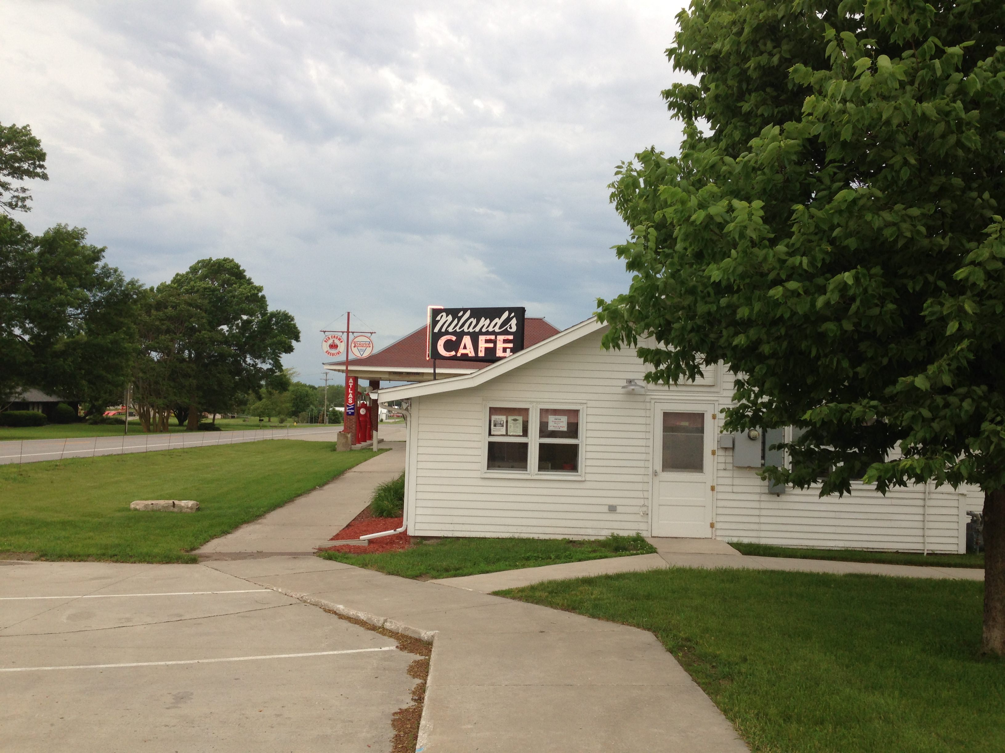
It’s hard to believe this, but I’ve now been on the road touring and performing along the Lincoln Highway for three months. I’ve got three more months to go still, and it’s times like these when you need to regroup and recharge. This is where the historic Reed/Niland Corner comes into play.

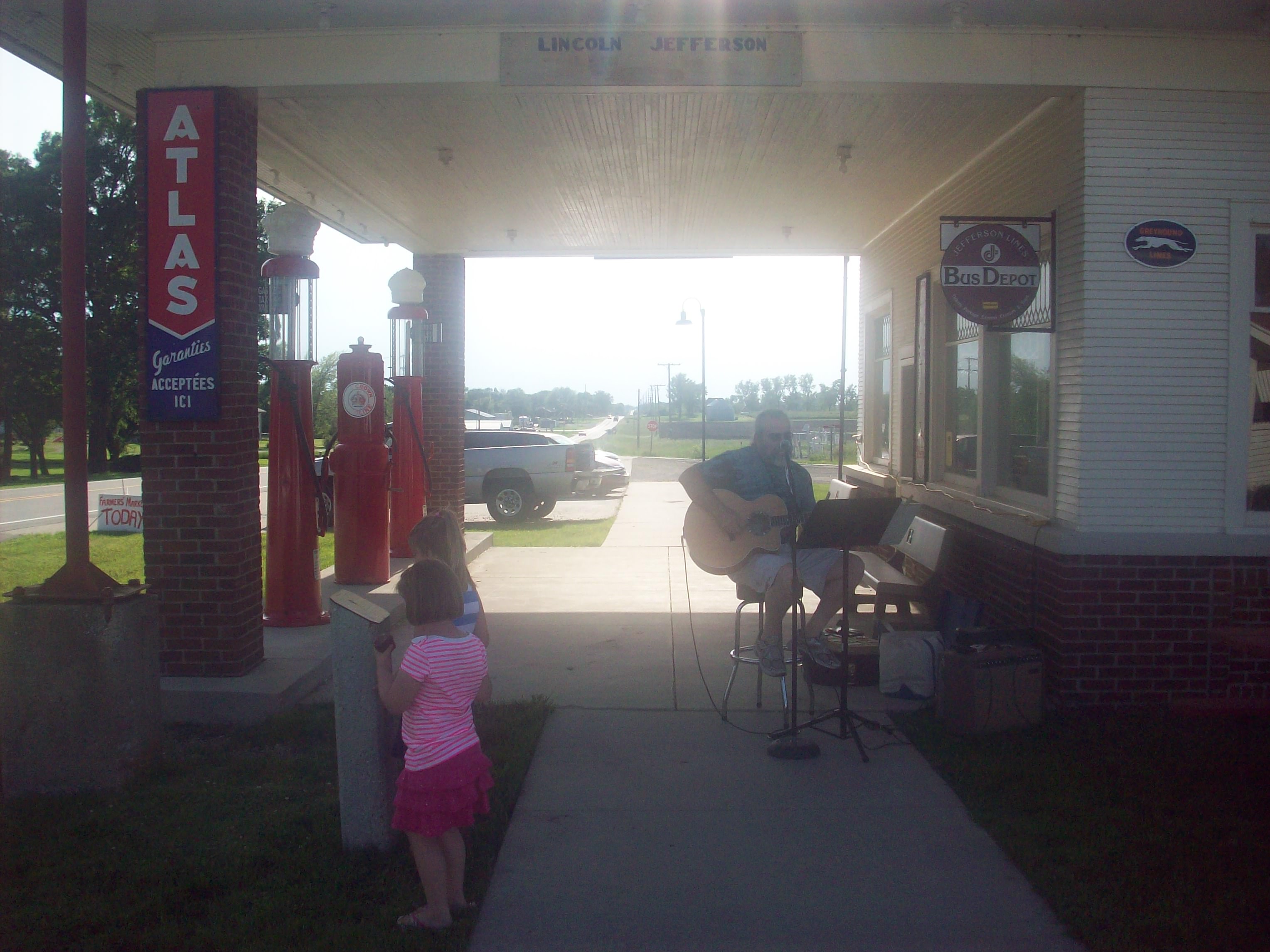
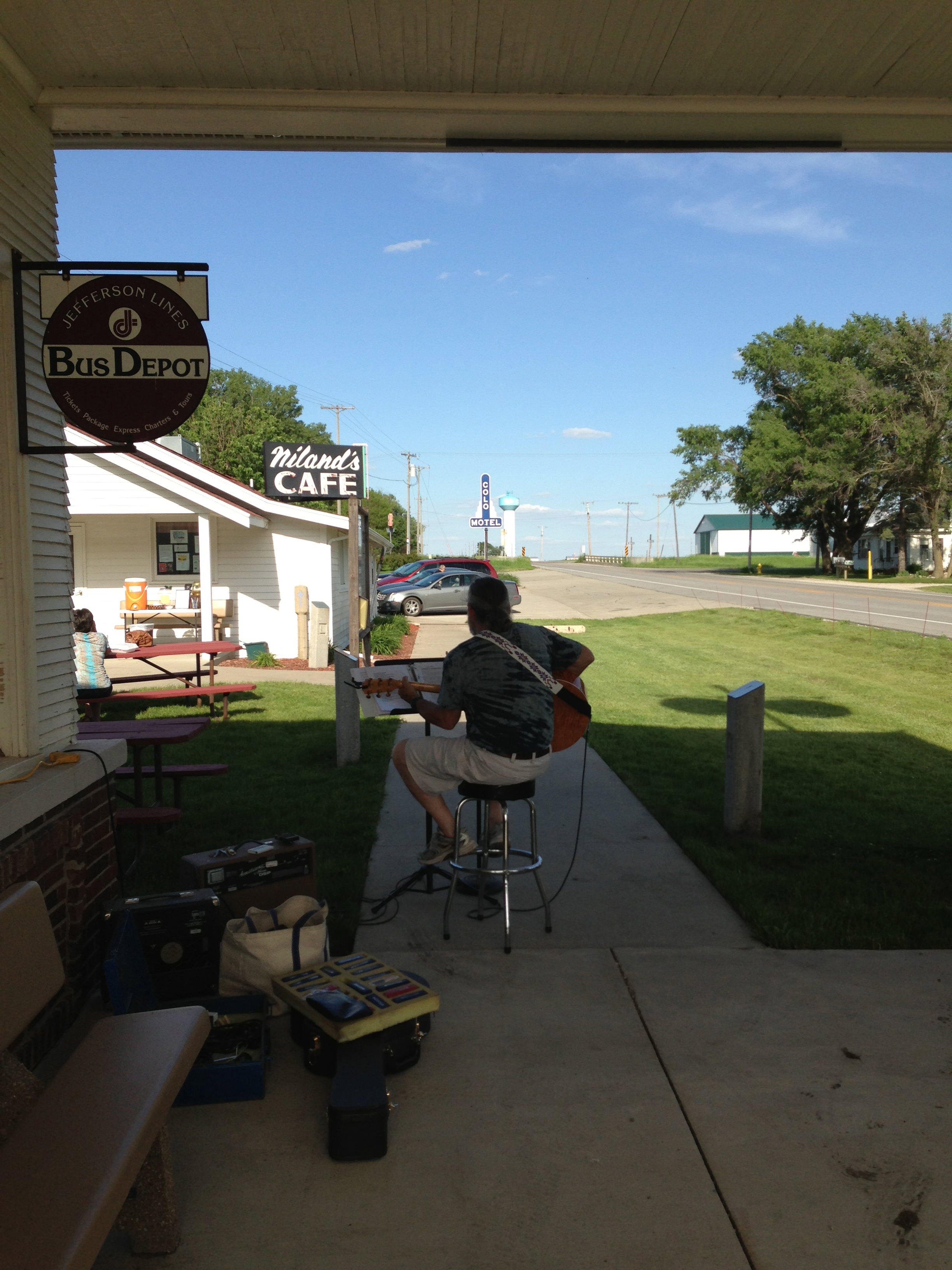
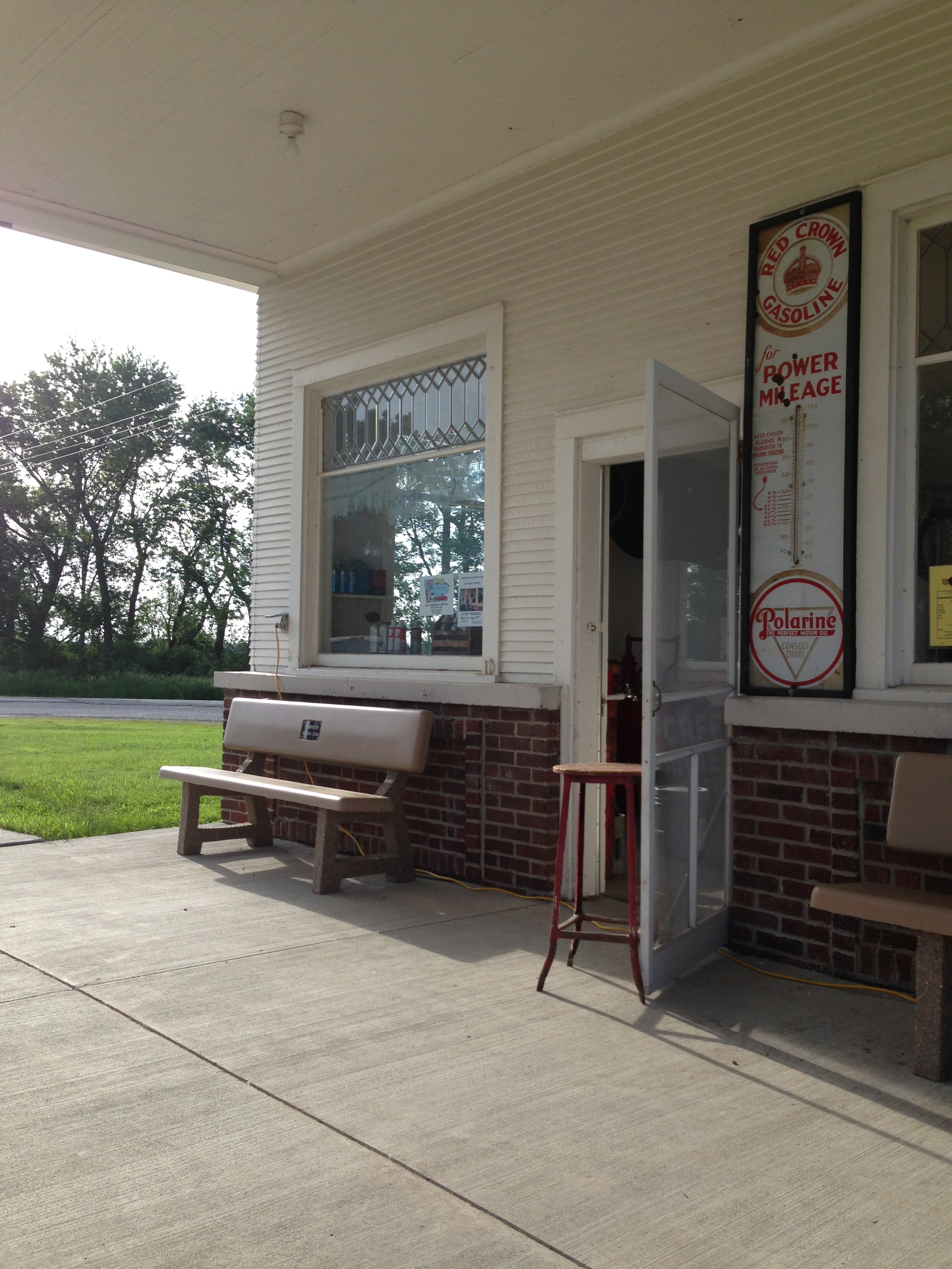
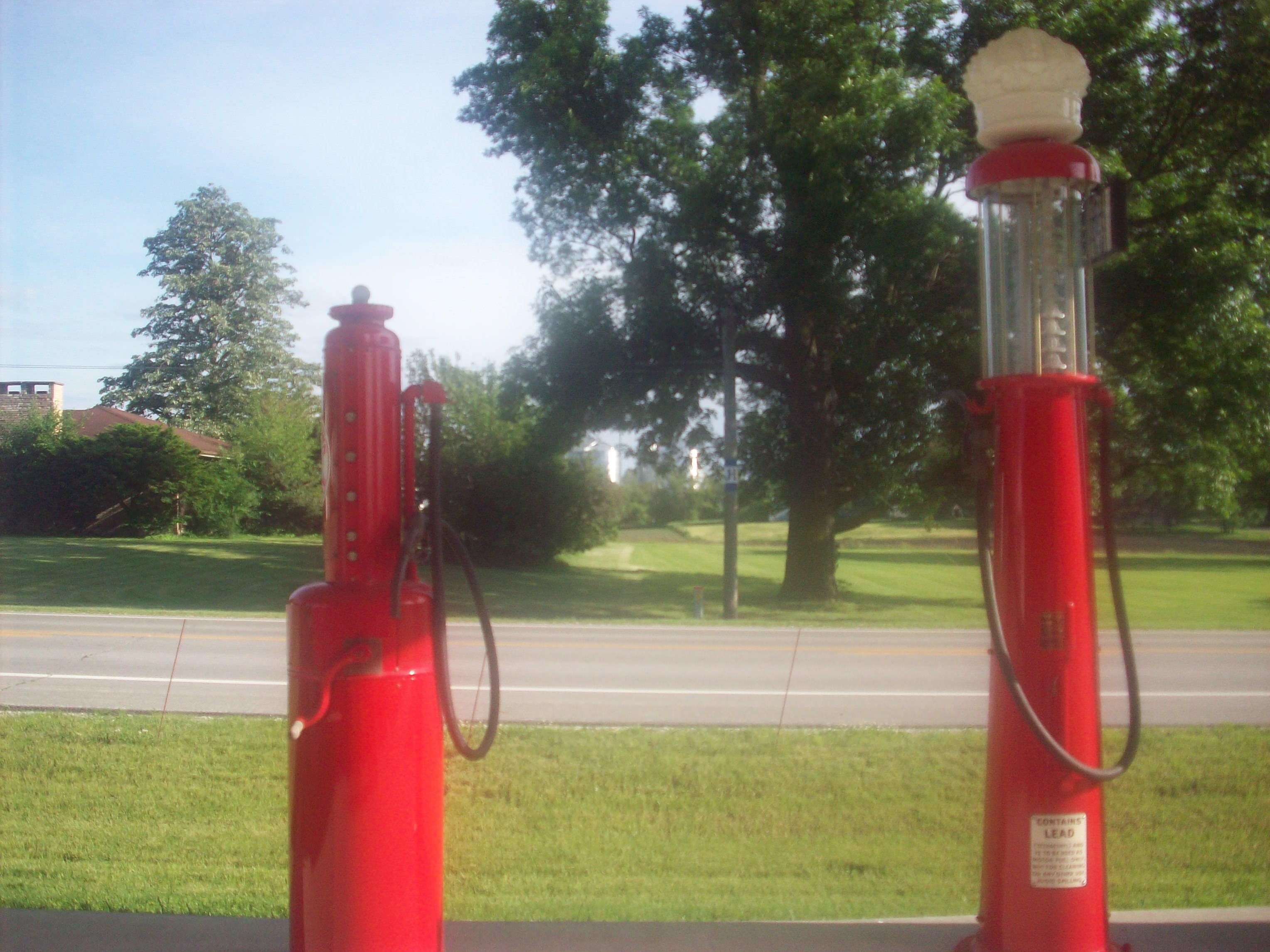
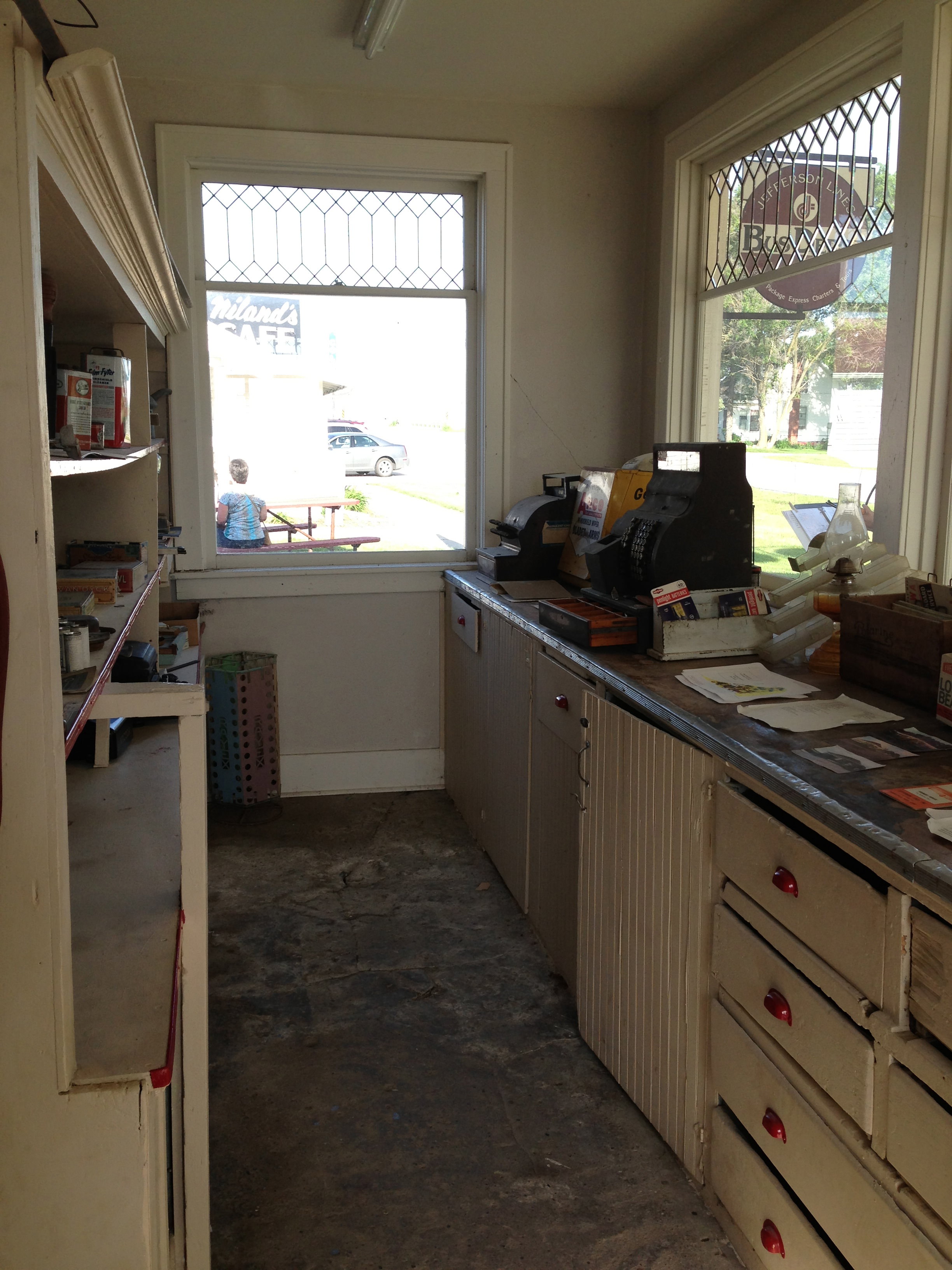
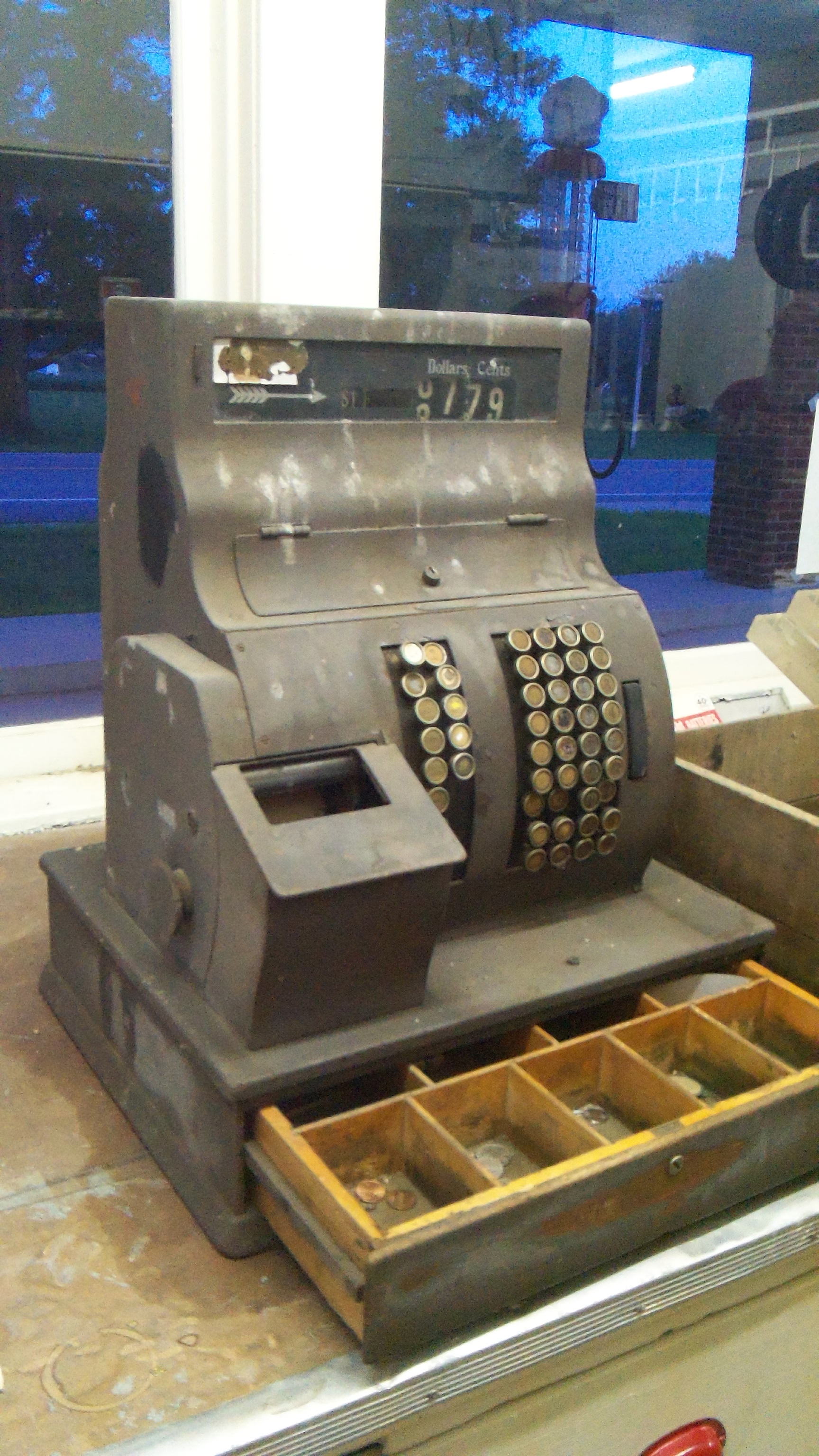
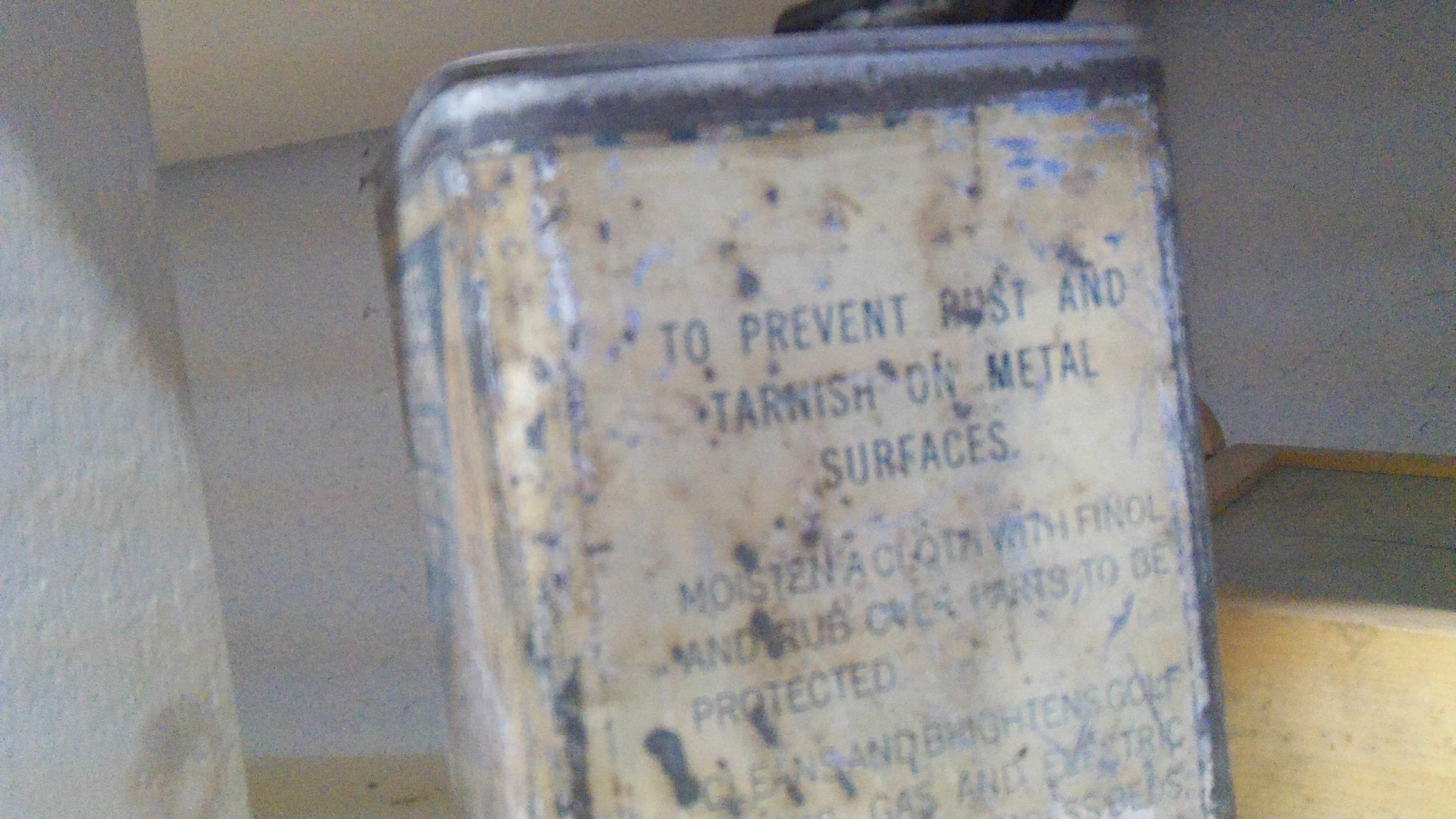
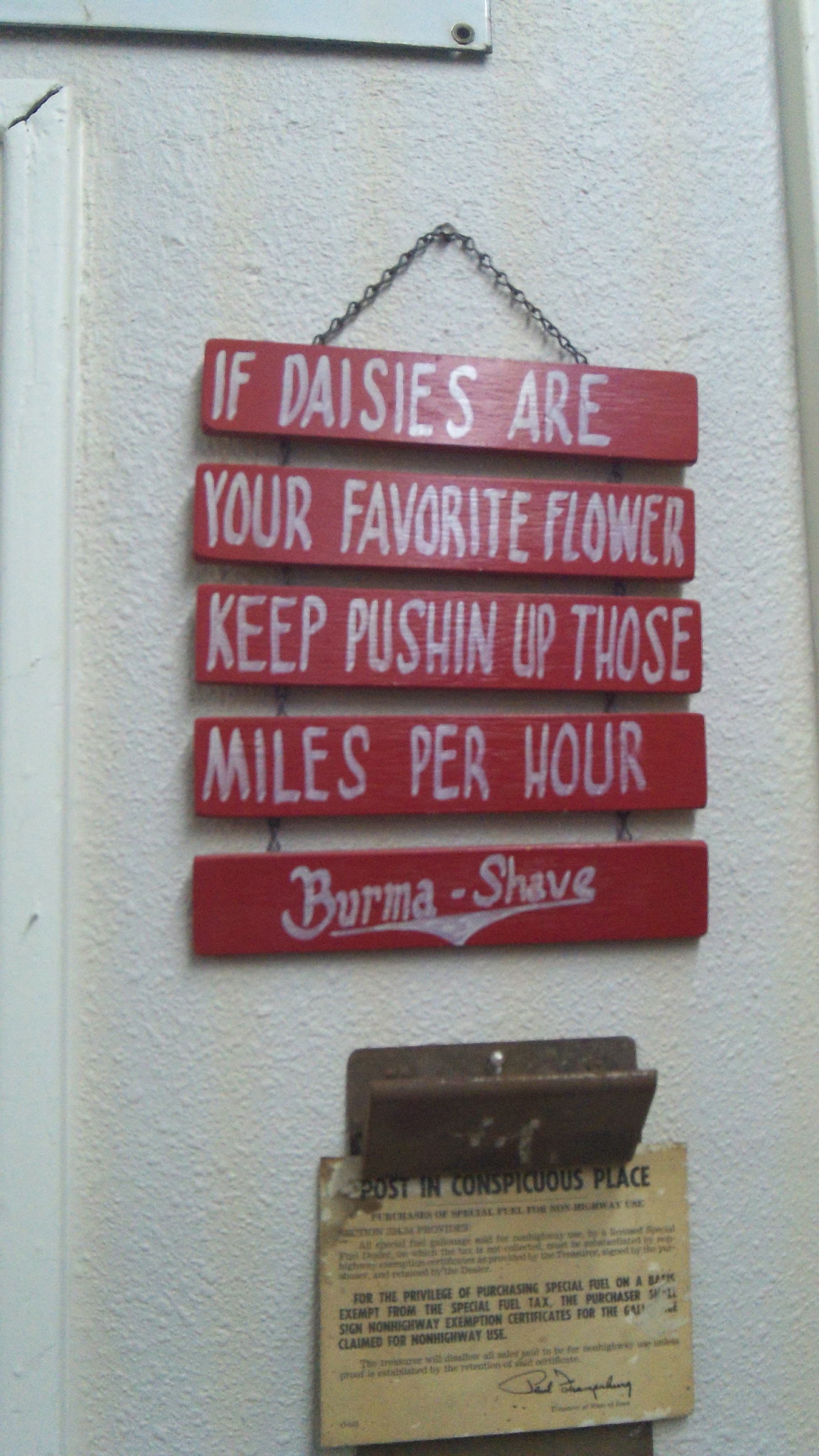
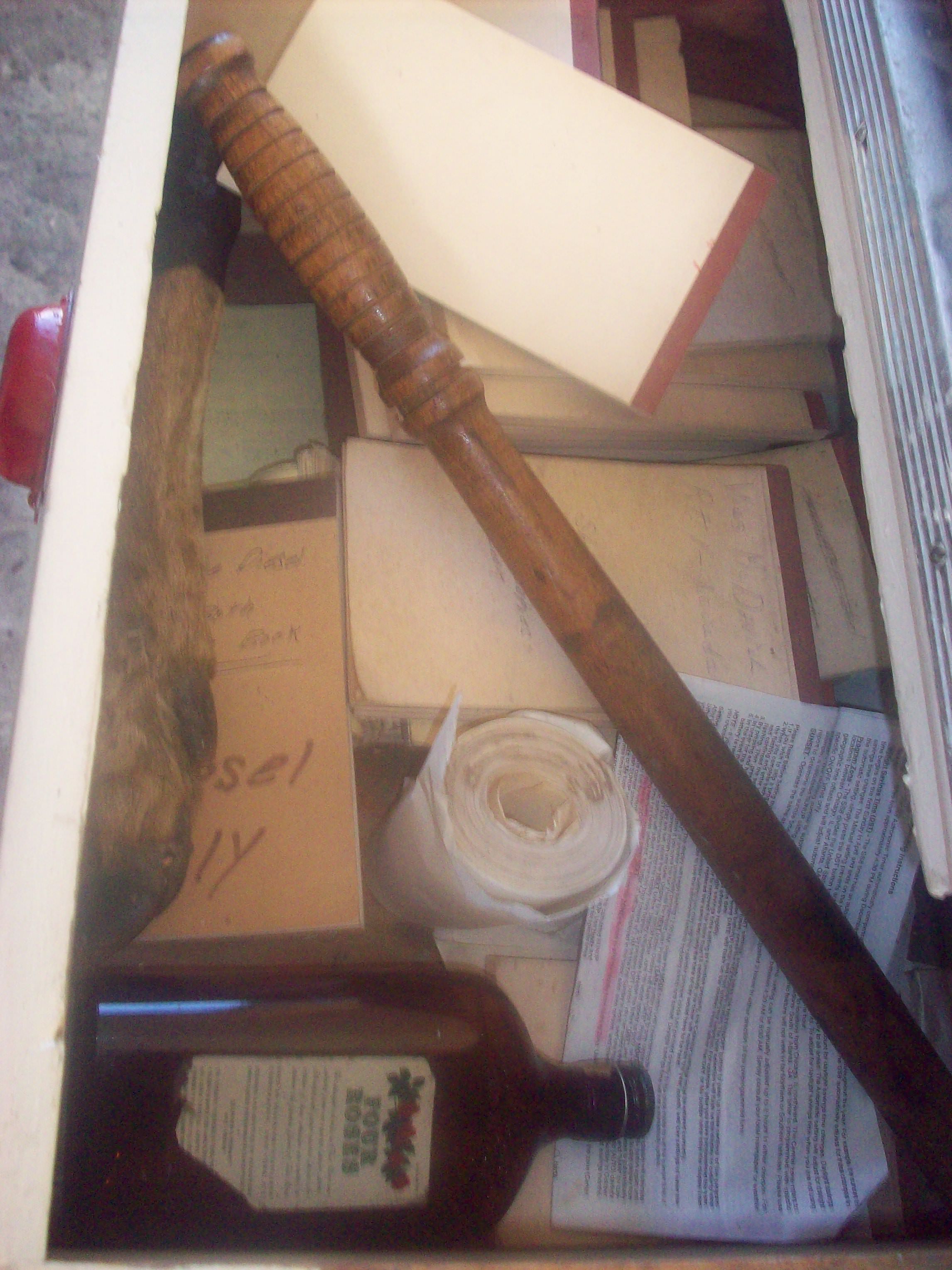
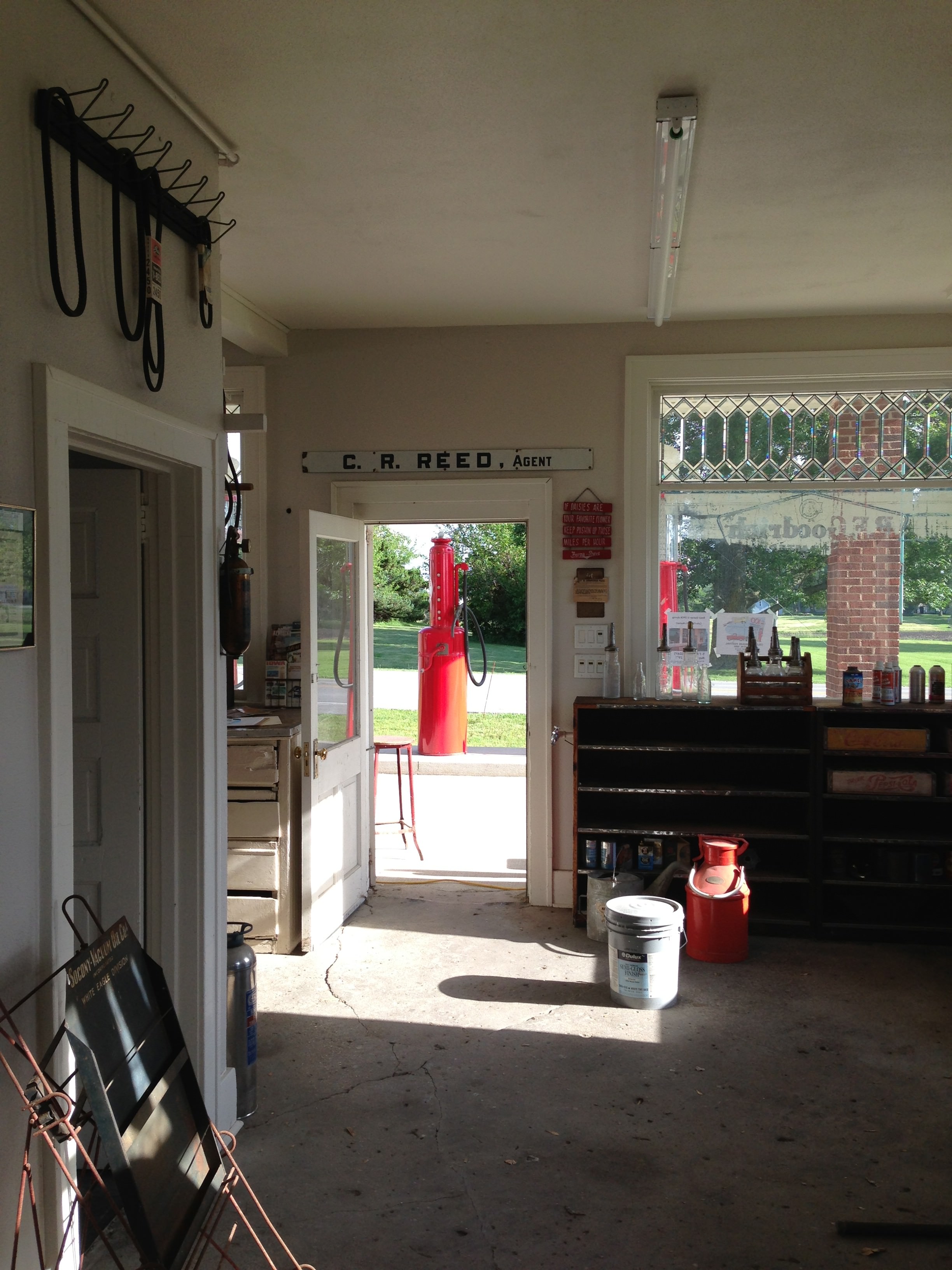
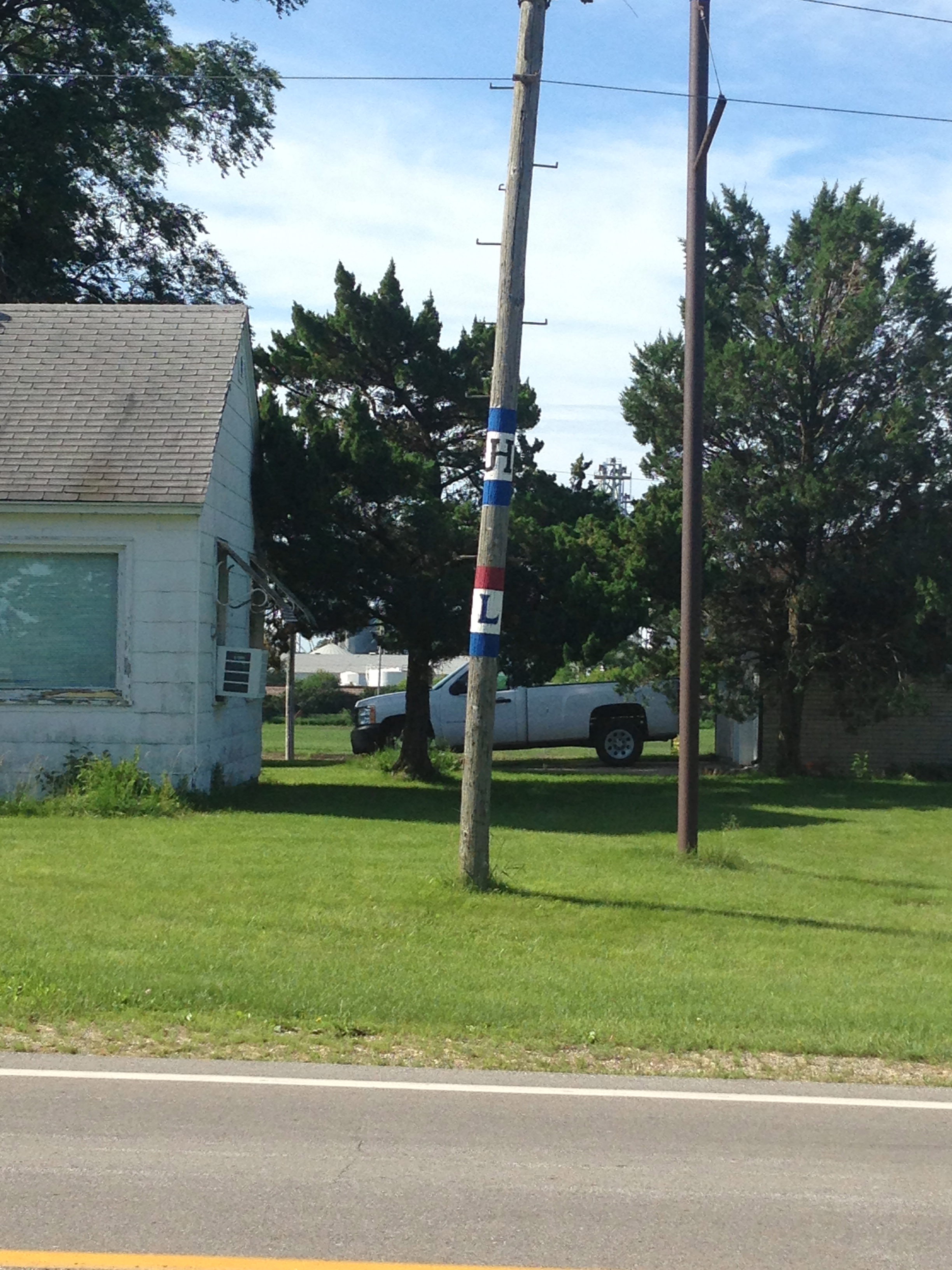
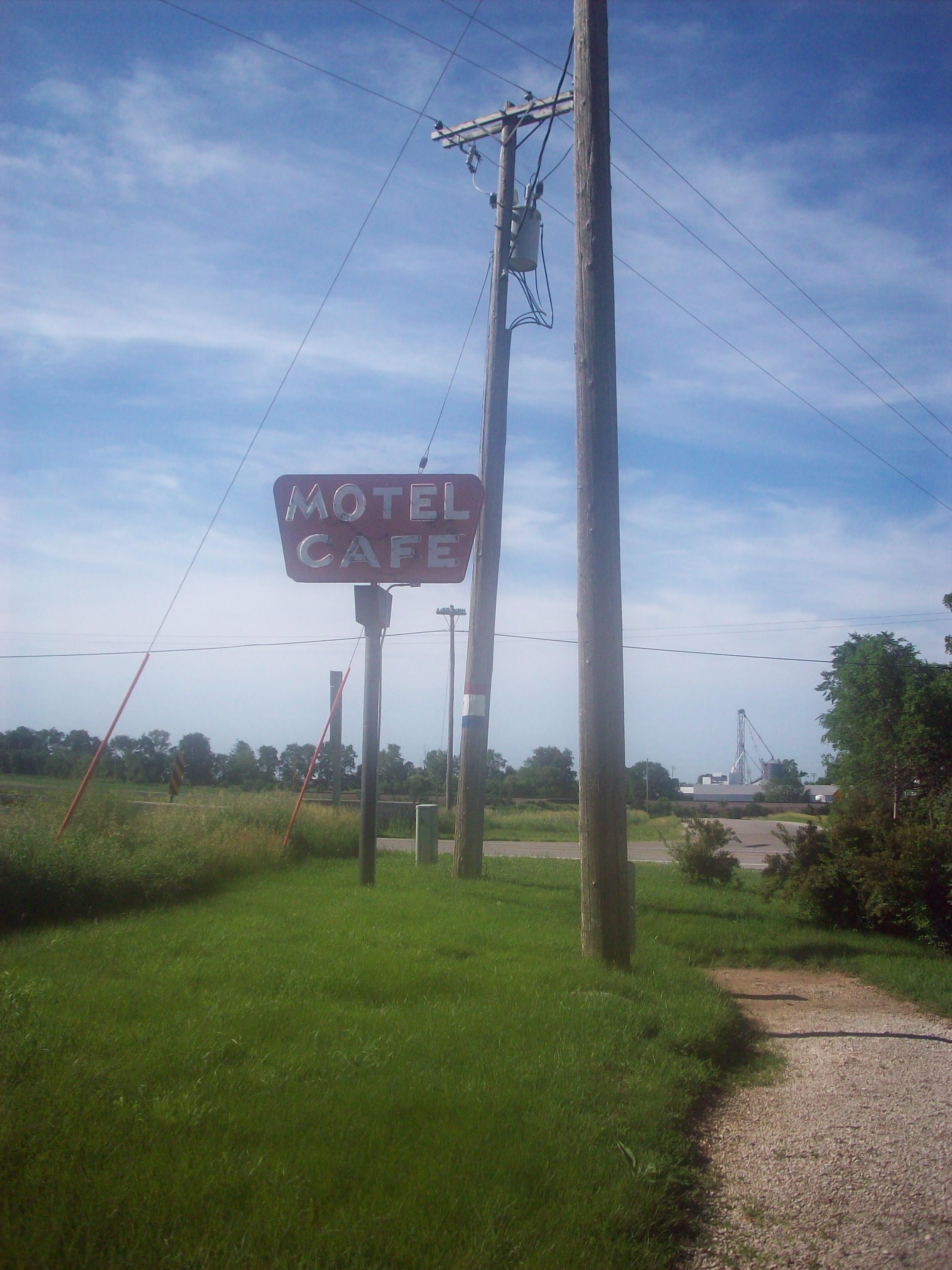
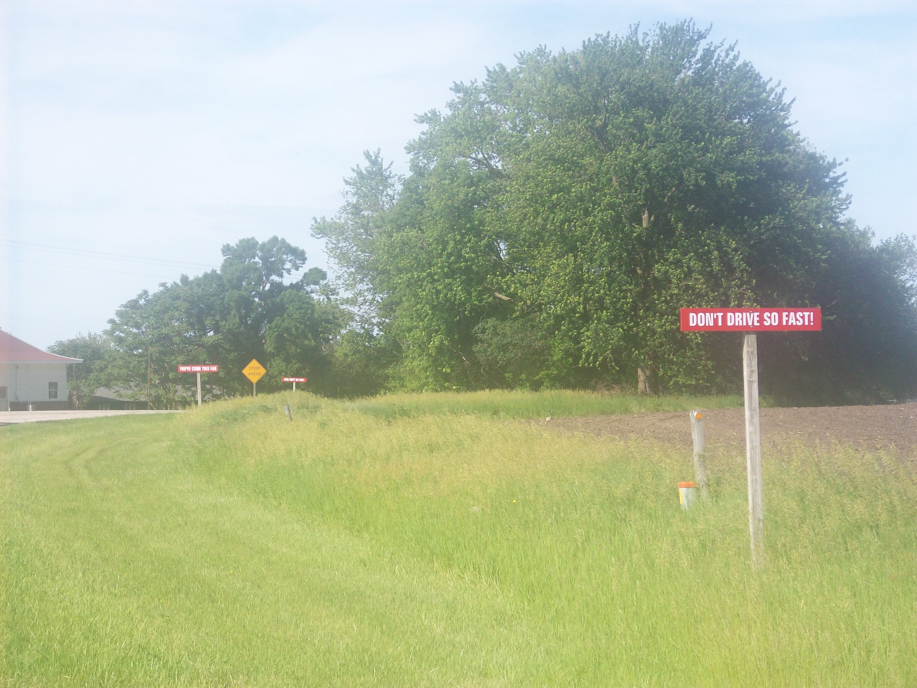
I’m a firm believer that history is alive all around us, and appears in so many different ways, not just in books. At this part of the route in Colo, Iowa it’s so alive you really feel it. Built at the intersection of the Lincoln and Jefferson Highways (more on the Jefferson Highway shortly), this corner of the world saw a heavy amount of traffic. So much so, that back in the early 1920’s, Charlie Reed built a gas station. The Reed and Niland families quickly built a lunch stand which turned into a café later, and then also turned a makeshift campground into more permanent lodging for travelers. This area became one of the first if not the first place where you could get everything in “one stop”. It also quickly became one of the first places along the route that was open 24 hours as well!

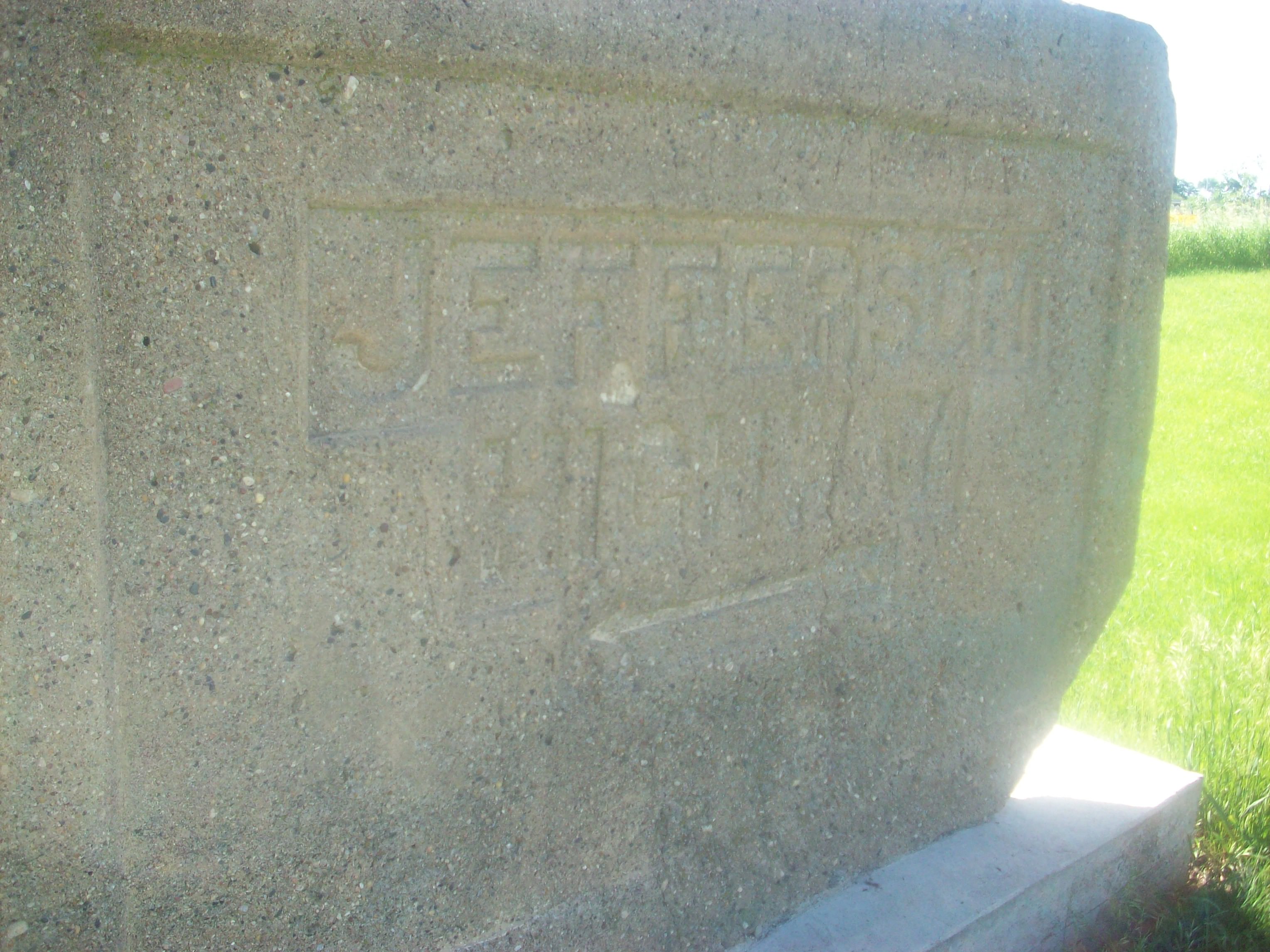
As noted in my previous post, the Lincoln paved the way for other auto trails to be created throughout the country. The Jefferson Highway was the 14th route to be created after the Lincoln Highway, was the first North-South Transcontinental Route, and was named after founding father Thomas Jefferson. It was built in 1915 and runs from Winnipeg, Manitoba in Canada all the way to New Orleans, Louisiana (it contains states which were involved in the Louisiana Purchase). To quote a Colo local, “It’s the only place where Lincoln and Jefferson actually do meet!” It is also called the “Palm to Pine Highway” to note the change in the trees along the route.

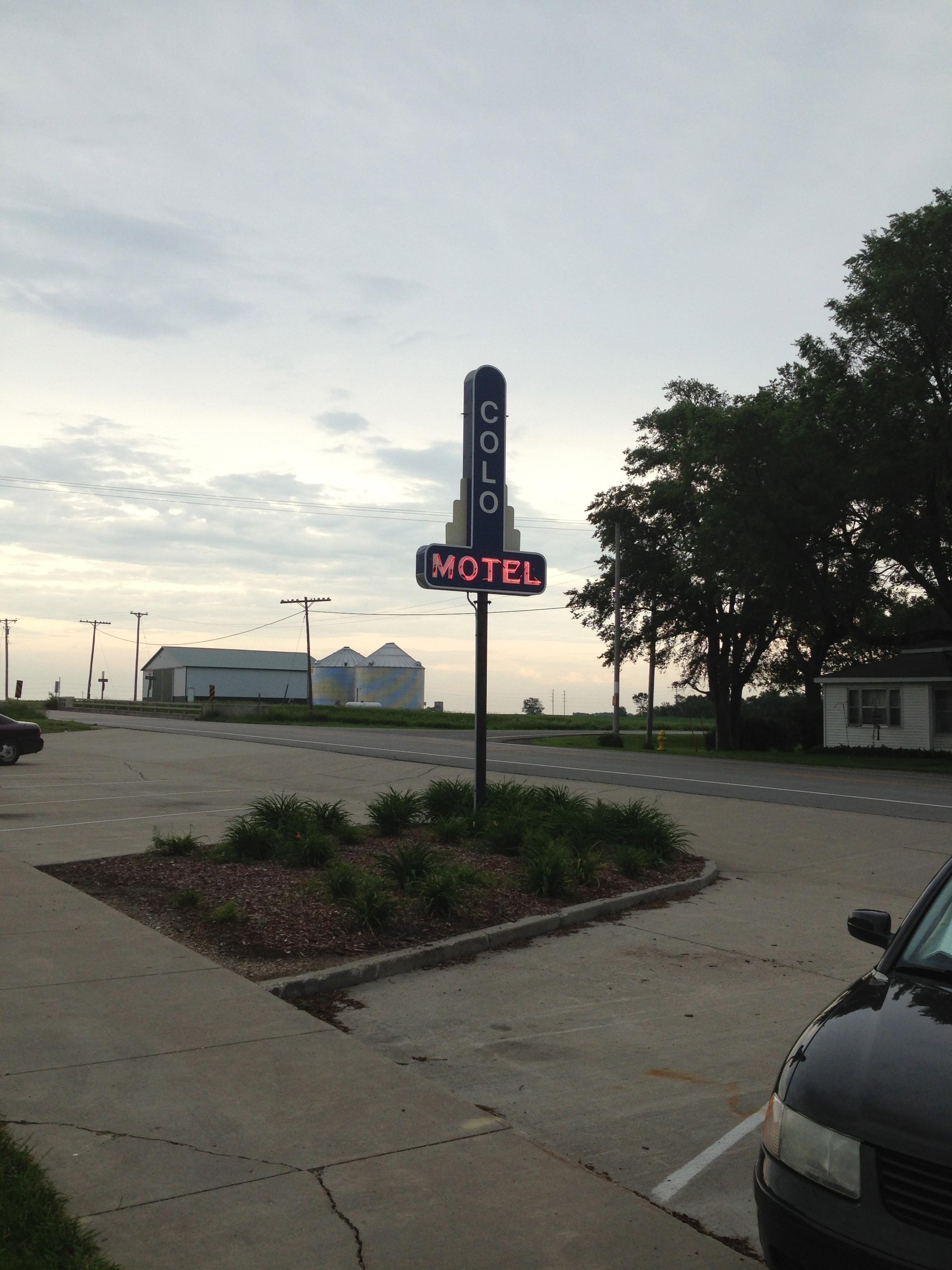
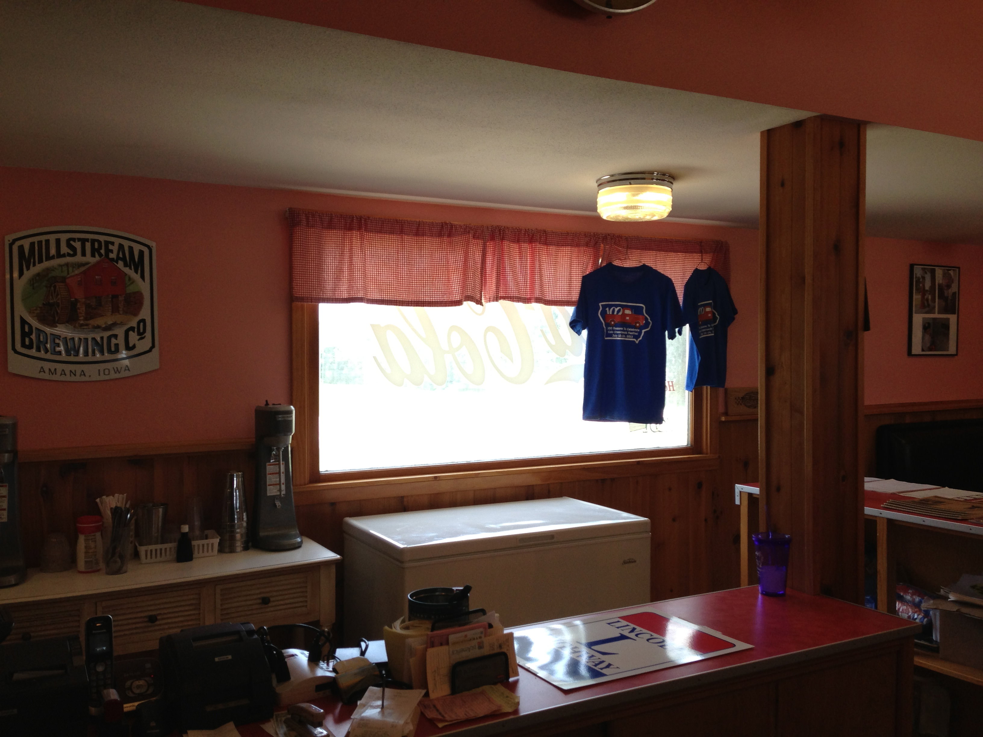
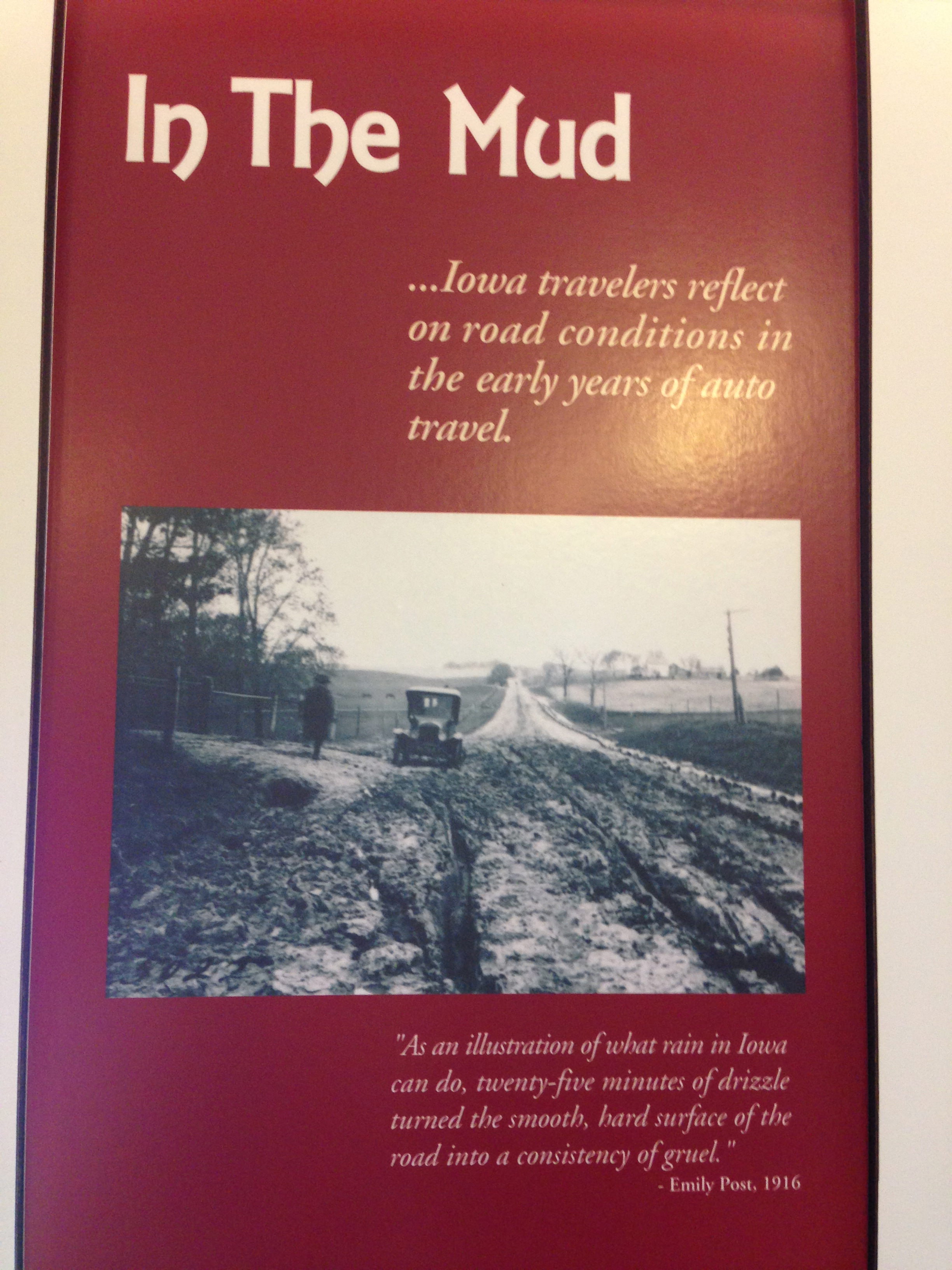
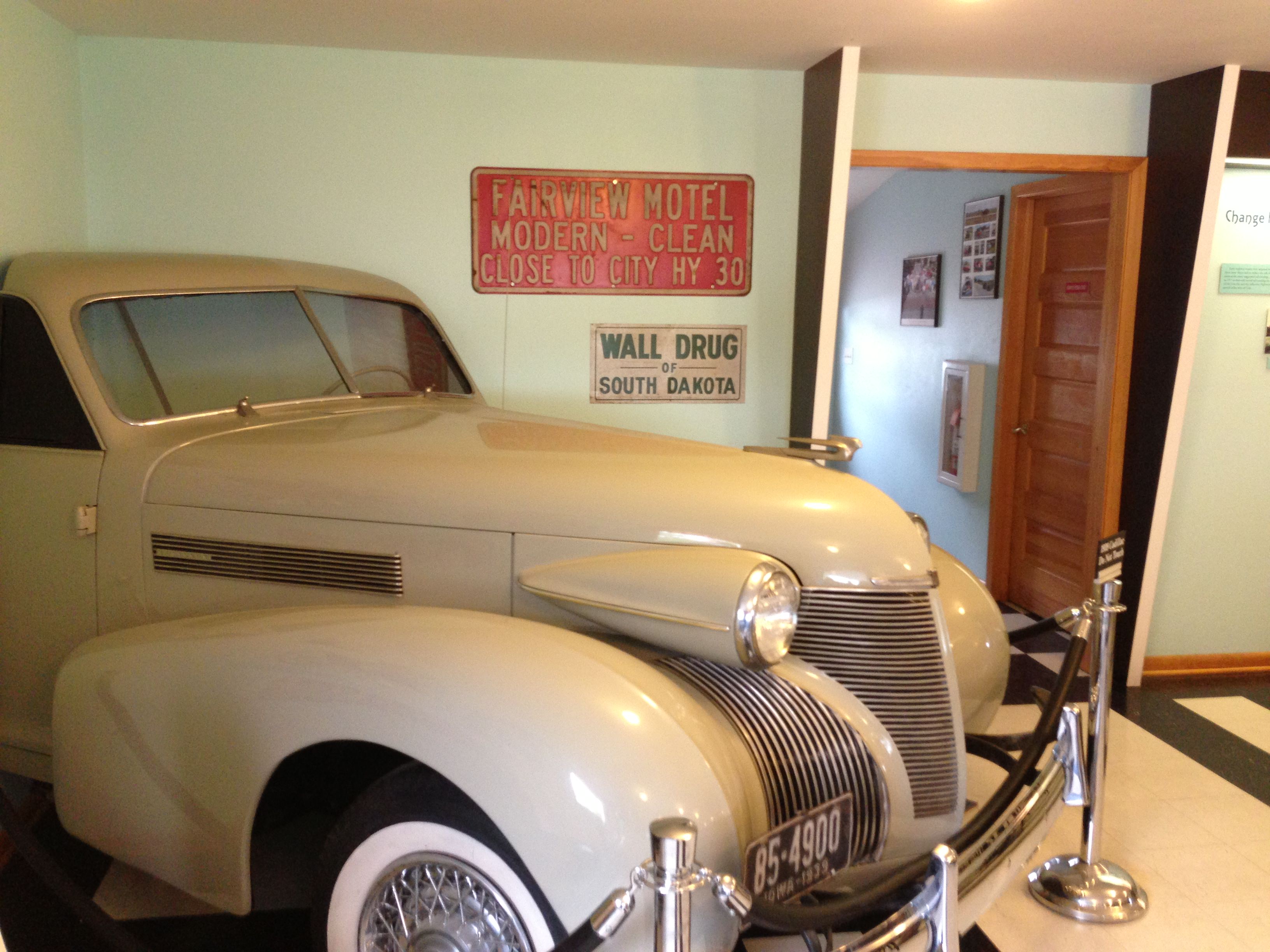
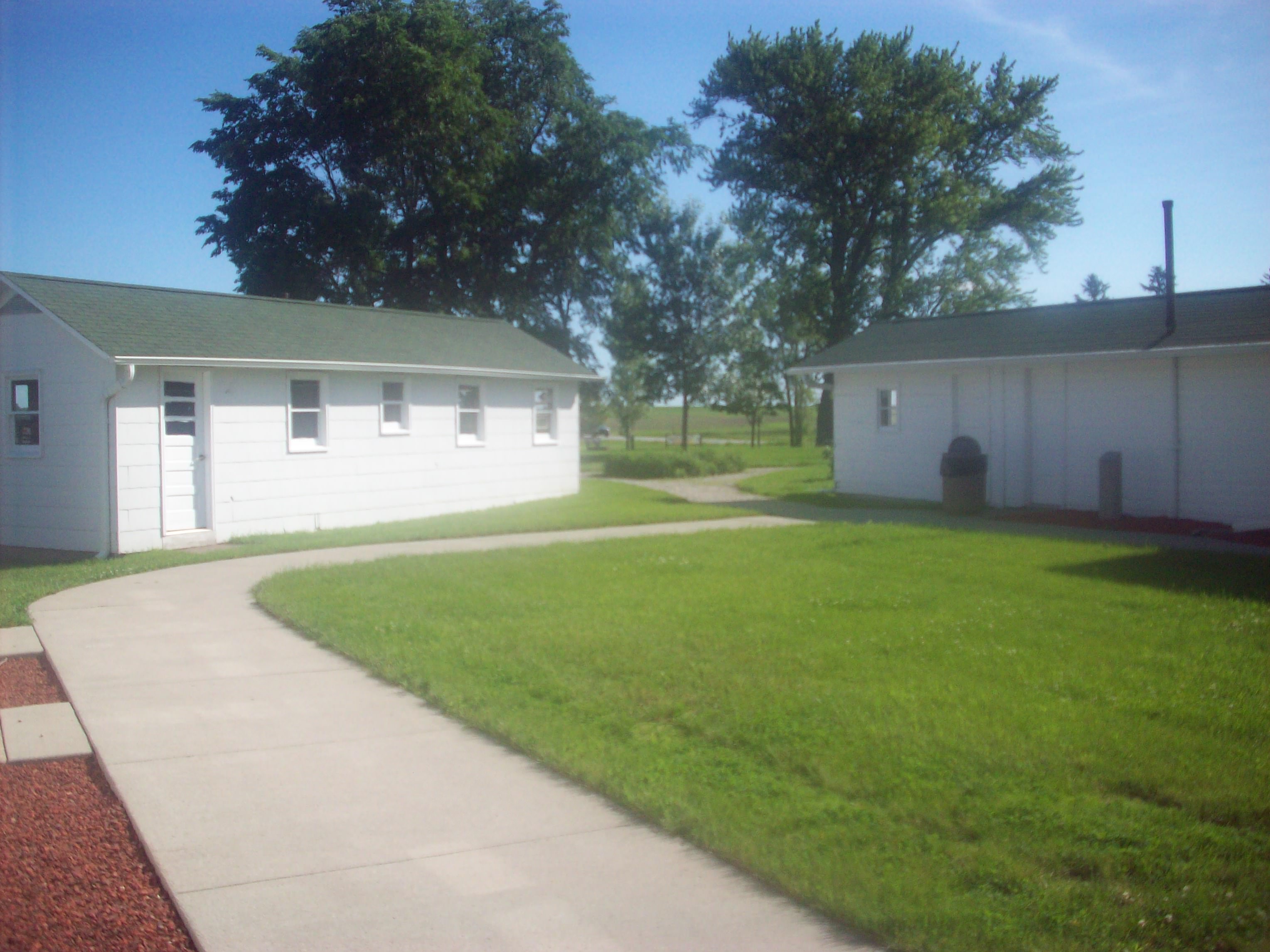
I still have several states to go on this tour, but I do have to say this part of the highway holds a special place in my heart. It truly feels like a home away from home, and I can’t say that about your average hotel and/or restaurant chain. You can’t get gas here anymore, but you can still stay in the restored Colo Motel and eat at Niland’s Café. If you can swing it in your travels, you should try to stay here at least one night so you can experience what this place is like, eat a meal, walk the grounds, and see all of the interpretive plaques and exhibits so you can learn about this place fully. You won’t regret it.

I again will put up some photos of this place, but know that the photos don’t do justice to how beautifully restored this area is.

View of the Café’s neon sign at dusk.
The Colo Motel Sign at dusk.
Here’s the live musician I saw when I first got into town. His name is David Gray, but plays in a couple bands. I even sang backup vocals on a song!
Every Thursday during the warmer months, there’s a Farmer’s Market held from 5-7pm. Local vendors, live music, and good food, not a bad way to spend an evening!
Here’s a view of the cafe from the gas station on Farmer’s Market day.
Detail of the Gas Station windows.
Here’s the same windows, but from the other side.
View of the restored gas pumps and the Lincoln/Jefferson Highway. If you look in the distance you can see the Jefferson Highway Sign painted on the telephone pole.
Some things have been left as they were when it closed in 1967.
Here’s the gas station cash register, which was used during its operation until it closed in 1967. Look at the final total – I wish gas cost that amount!
There’s some irony in there somewhere with this picture…
A great fun sign from the Burma Shave company, which was a very popular brand of shaving cream from the 20s-50s.
This is the drawer right under the cash register. Note the old bottle of Four Roses and the Billy Club, perfect for keeping thieves and boredom away on the night shift!
Here’s Charlie Reed’s Desk, which has always been there since it opened in the 1920’s.
One of my favorite pictures taken on this journey so far.
The Lincoln and Jefferson Highways together!
Love the old sign on the back of the cafe, plus check out the old street lights.
This picture was taken while sitting at one of the counter stools.
Another view from the counter, this time on a cloudy day.
I love this quote from Emily Post (click on the photo to magnify the picture).
Inside Niland’s Cafe is a mini-exhibit about Colo and how the highways affected the town. This 1939 Cadillac is a fun thing to see amongst many others.
Here’s a view of more the buildings from early motel days. The one on the right was the old shower areas for the motel guests.
This part of the corner has been turned into a small park where you can picnic and view the Jefferson Highway marker.
A very old Jefferson Highway Marker.
This is a great old sign, which drivers on the Jefferson Highway would have been able to see from the road.
Burma Shave signs were also split up along the route like this so travelers would read them as they drove.
Words to remember when the road gets long…

For a more in-depth video of this historic corner, check out this great video on YouTube:

I’ll be hitting the road tomorrow so there will be a couple days where I won’t be writing much, so have a great first weekend of summer everyone and I’ll talk to you soon!

Filed Under: Grassroots, History, Iowa, Life in General, Lincoln Highway, Travel-General Tagged With: Colo, Colo Motel, Gas Station, Iowa, Jefferson Highway, Lincoln Highway, Motel, Niland Café, Reed/Niland Corner

Reader Interactions

Comments

  1. Glenn S. Prochaska says

    July 15, 2013 at 1:58 pm

    I grew up a couple of blocks from Hwy. 30 as it wound its way through the SW side of Cedar Rapids, IA. Before the bigger concrete slabs were around, it was always Hwys. 30 and 218 in and out on the west side of CR. Can you tell me if there are any local LH Chapters in the Cedar Rapids area? I would enjoy getting involved with the club.

    • Cece says

      July 16, 2013 at 1:46 am

      Hi Glenn! It’s nice to meet you, thanks so much for your comment. As you probably saw, there’s an Iowa Chapter of the Lincoln Highway Association at this link: http://iowalincolnhighway.org/. As far as I know, they have quarterly meetings in different parts of the state so that all members can attend at least one a year. The Co-Presidents of the Iowa Chapter are Dean and Jeannie Parr (great friends of mine), and they live in the Cedar Rapids area. You can email them directly through the Contact page on the website, tell them that you know me and would like to help and get involved with the local chapter. I hope this helps! If you need anything else please let me know. Thanks again for reading my post, and I hope to meet you on the road someday!

Primary Sidebar

Follow Cece’s American Songline Journey

Relive the Struggle for Women’s Rights

An American Songline: Centennial of Suffrage is now available to purchase, featuring lyrics for 14 suffrage anthems, as well as Cecelia Otto's notes and commentary..

PURCHASE NOW »

Upcoming Tour & Show Dates

Come see Cece perform live! See if she’ll be performing near you in the near future.

SEE CECE LIVE »
  • Dribbble
  • Facebook
  • Instagram
  • LinkedIn
  • Pinterest
  • Twitter

Copyright © 2023 — An American Songline • All rights reserved.

Log in