• Skip to main content
  • Skip to primary sidebar

An American Songline

Journeys in Vintage Music with Cecelia Otto

  • About
    • An American Songline
    • Cece’s Story
    • Accolades & Press
  • The Programs
    • Liberty’s Song: America at 250
    • Good Roads, Great Songs — Music Along America’s Highways
    • Prohibition
    • Centennial of Suffrage
    • The History of Early American Song
    • A Musical Journey Along the Lincoln Highway
    • The Songs of World War I
    • Video
    • FAQ
  • Shows
    • Current Tour & Show Dates
    • Book Cece
    • Testimonials
  • Blog
  • Store
  • Contact
    • Get Updates
    • Press Kit
    • Get Crowdfunding Support

Lincoln Highway

Central Nebraska Highlights, plus the Lincoln Highway turns 100!

July 14, 2013 by Cece

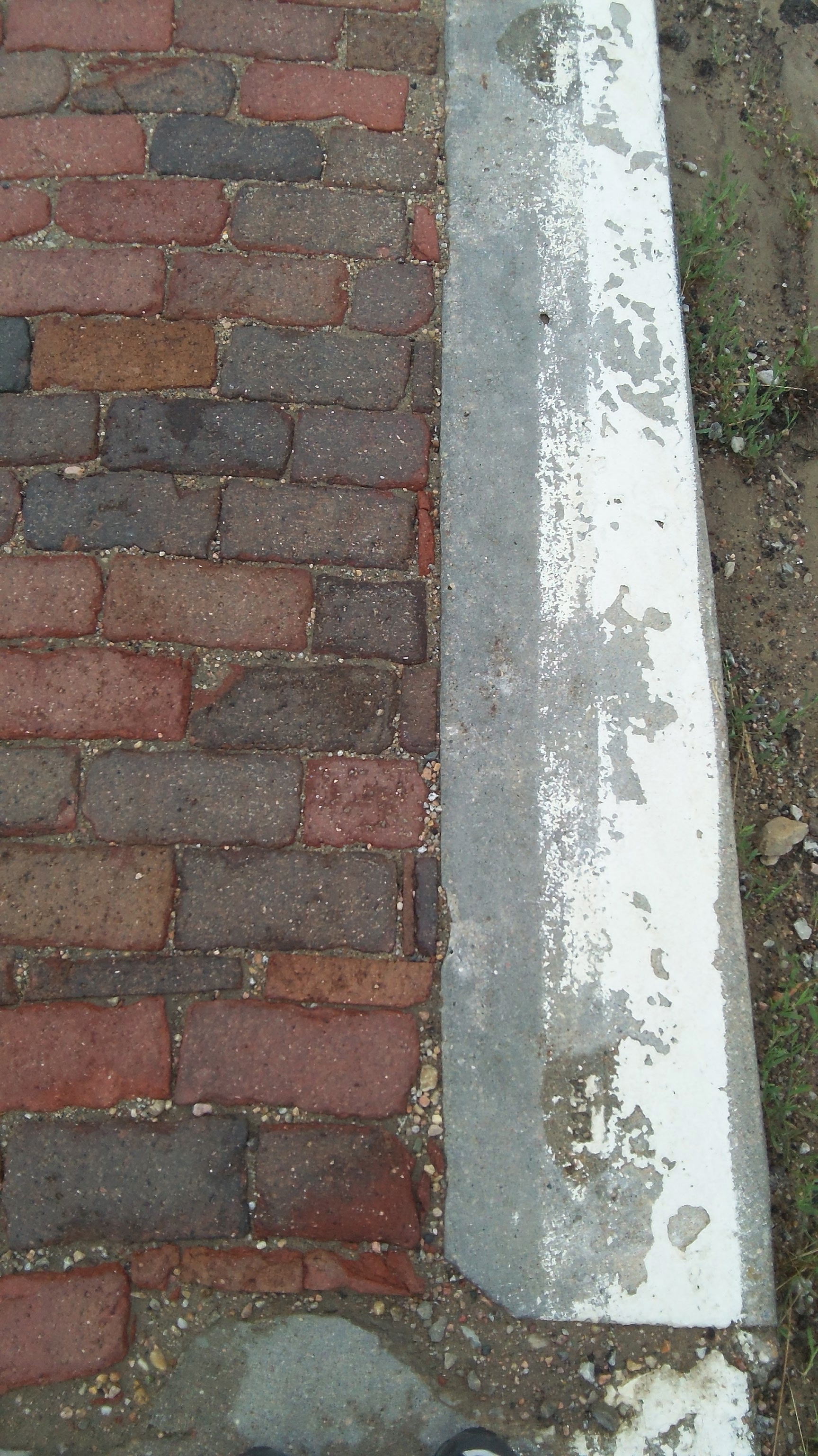
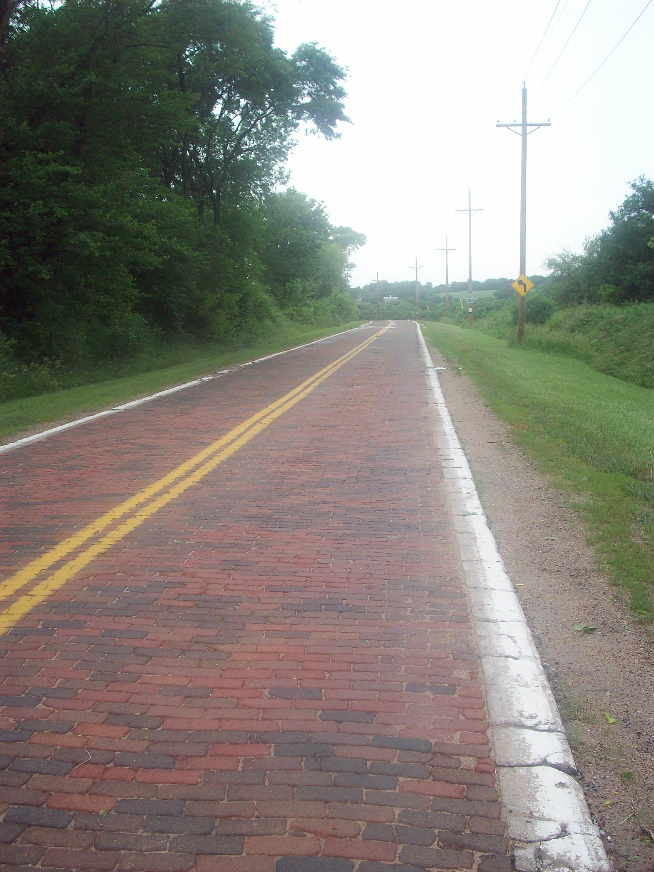
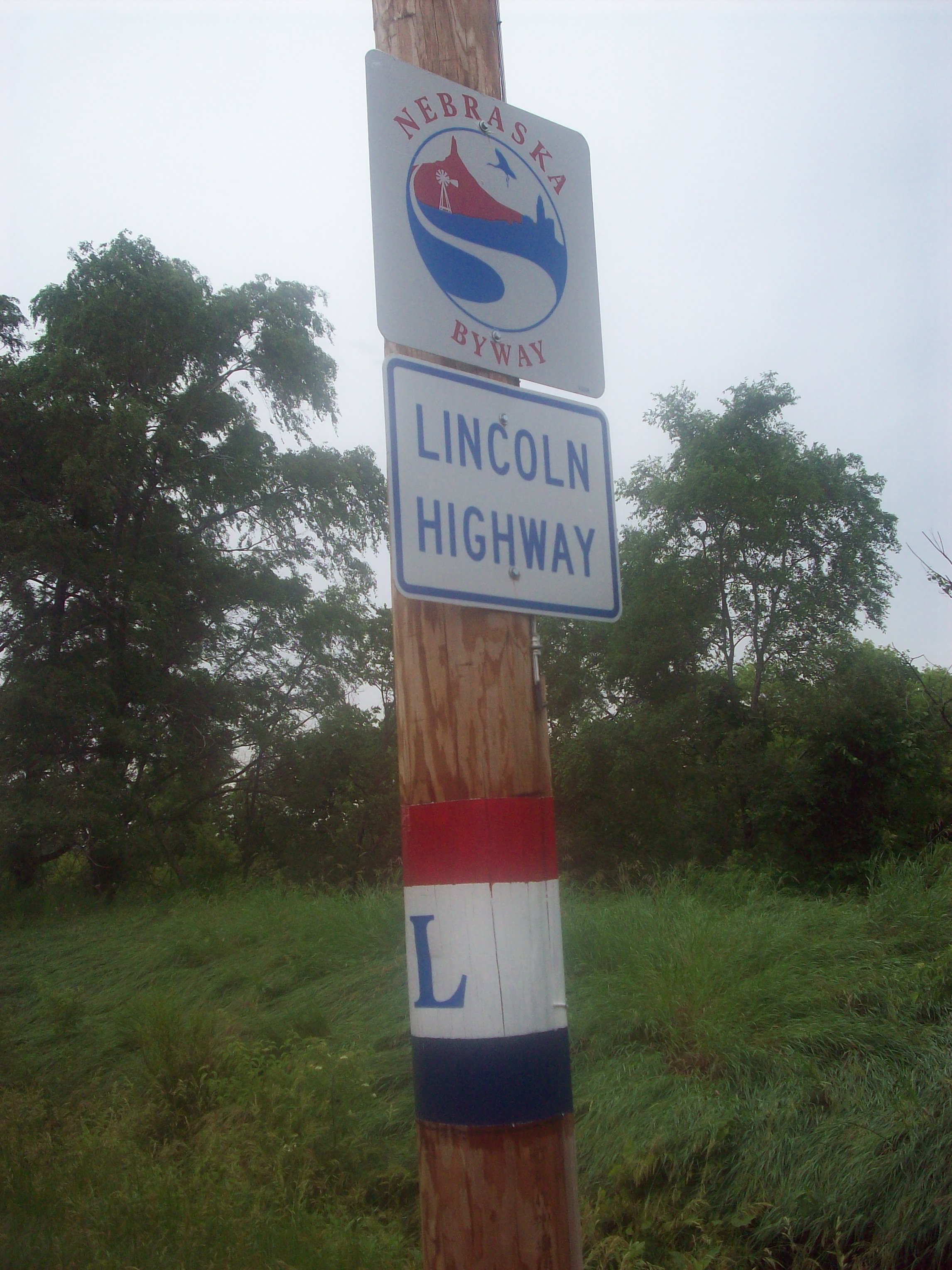
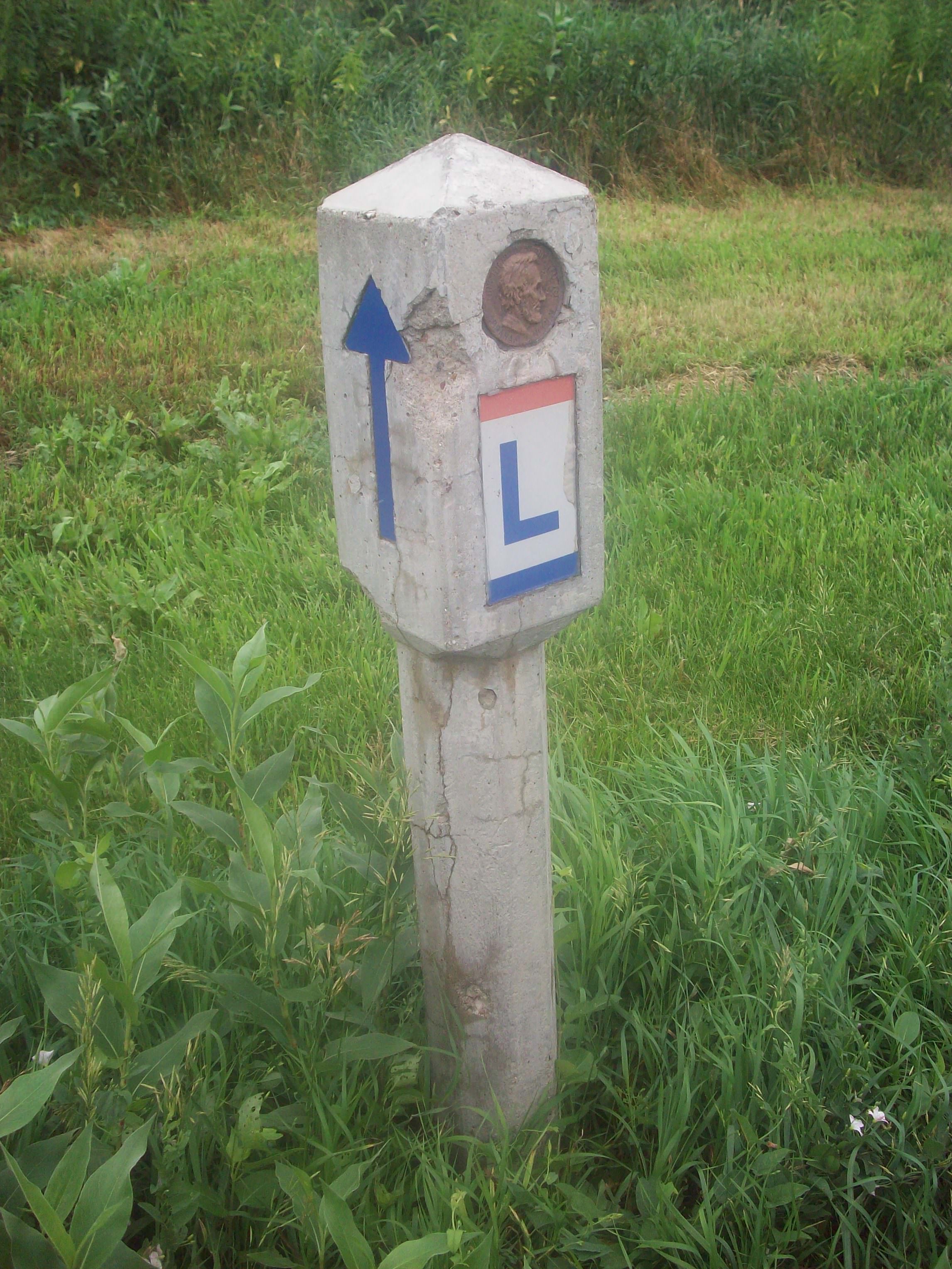
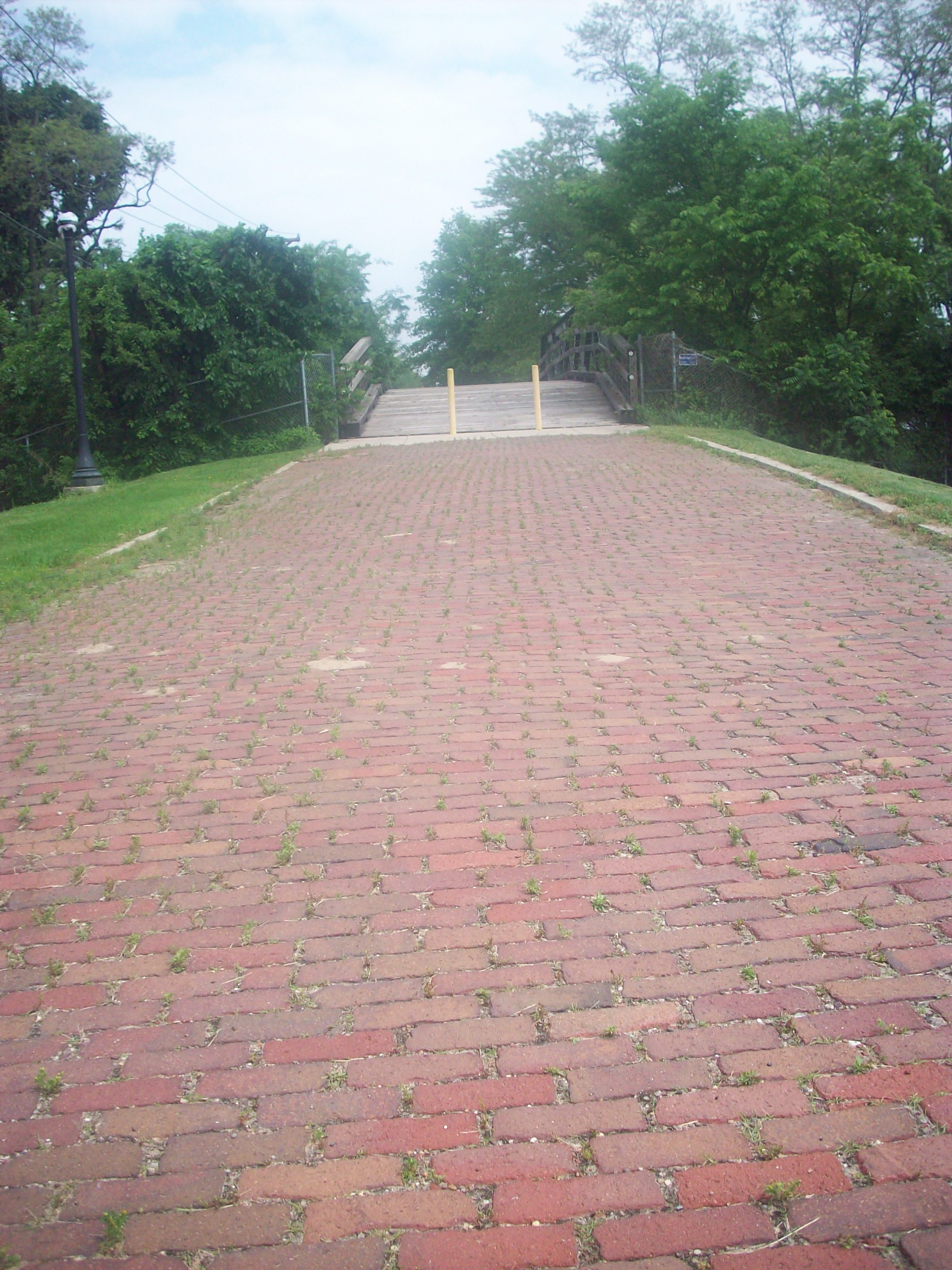
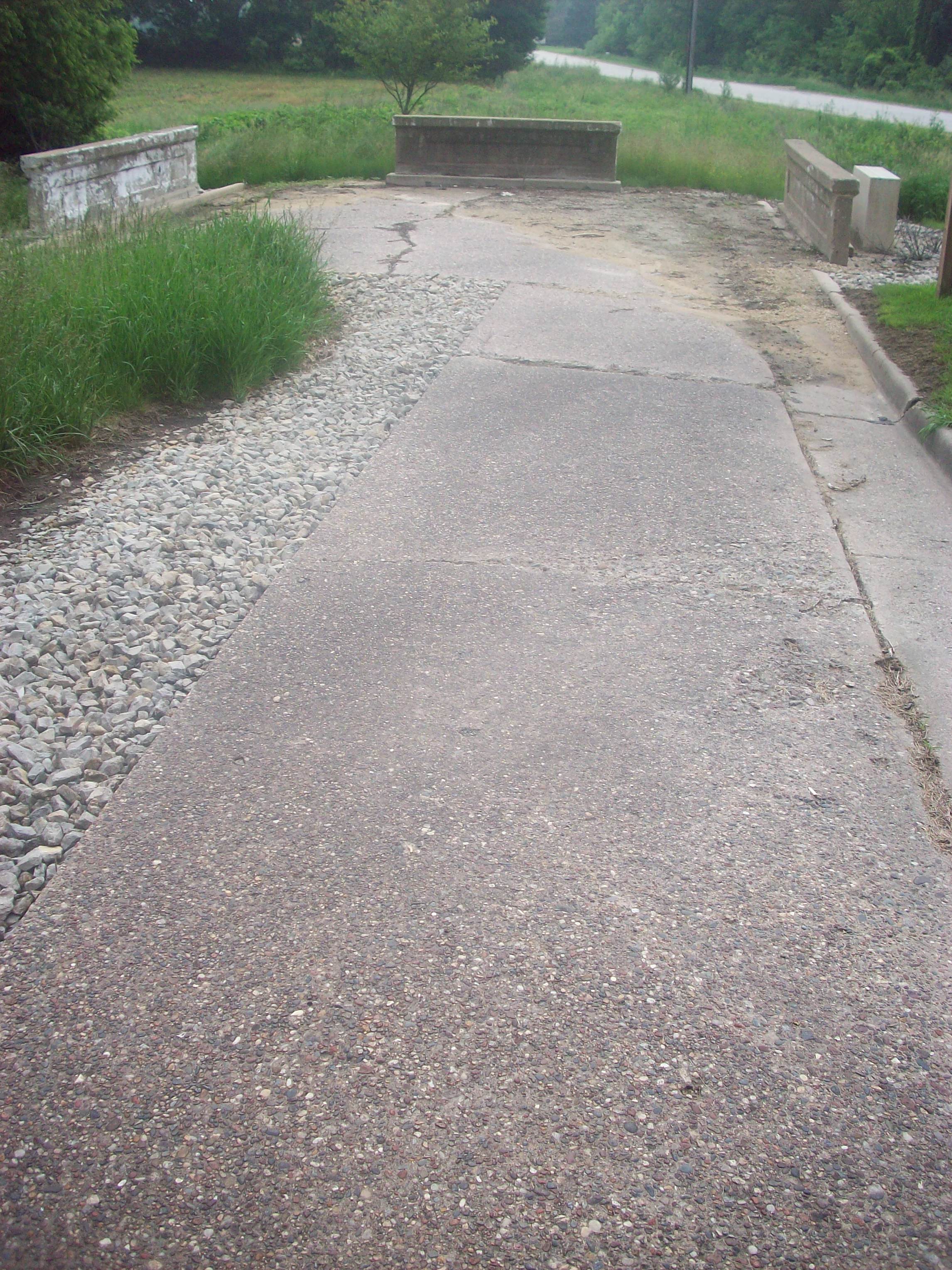
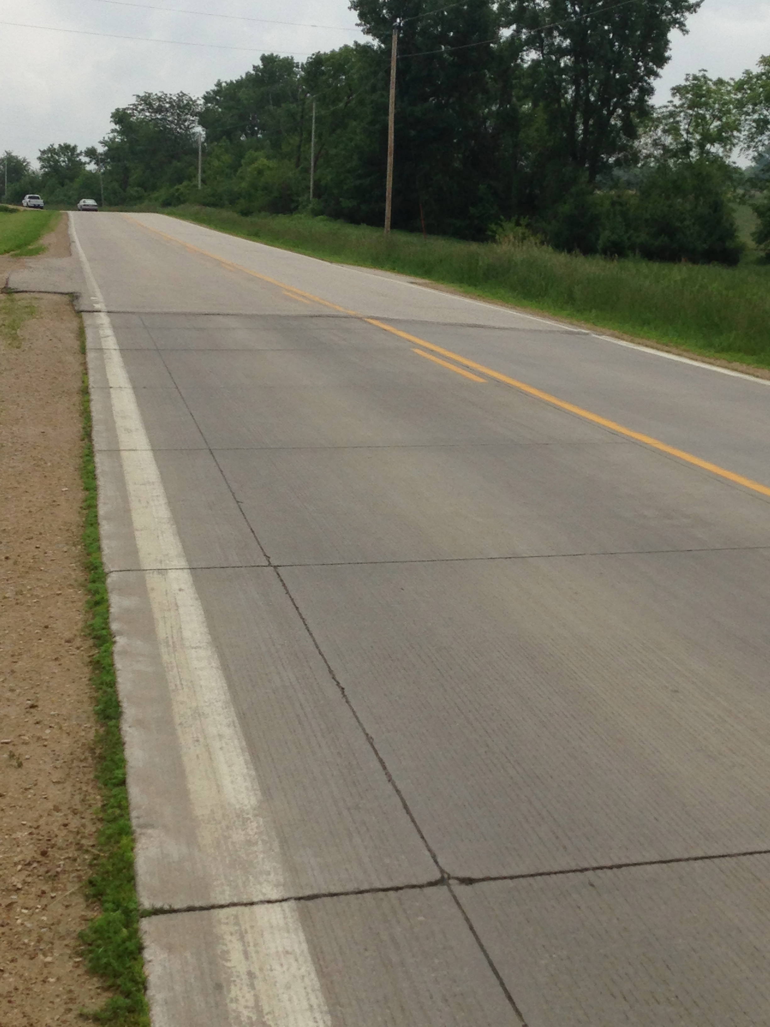
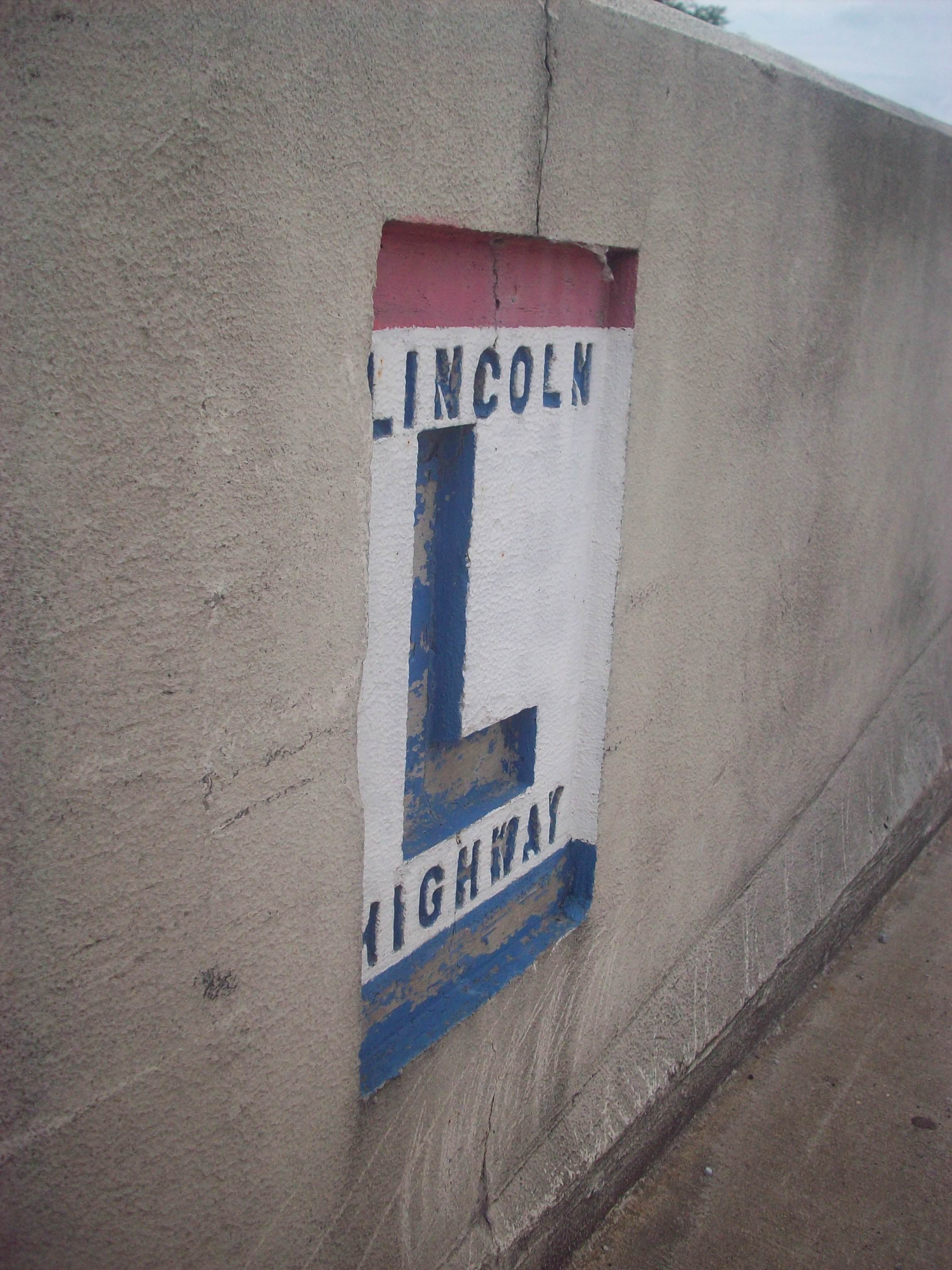
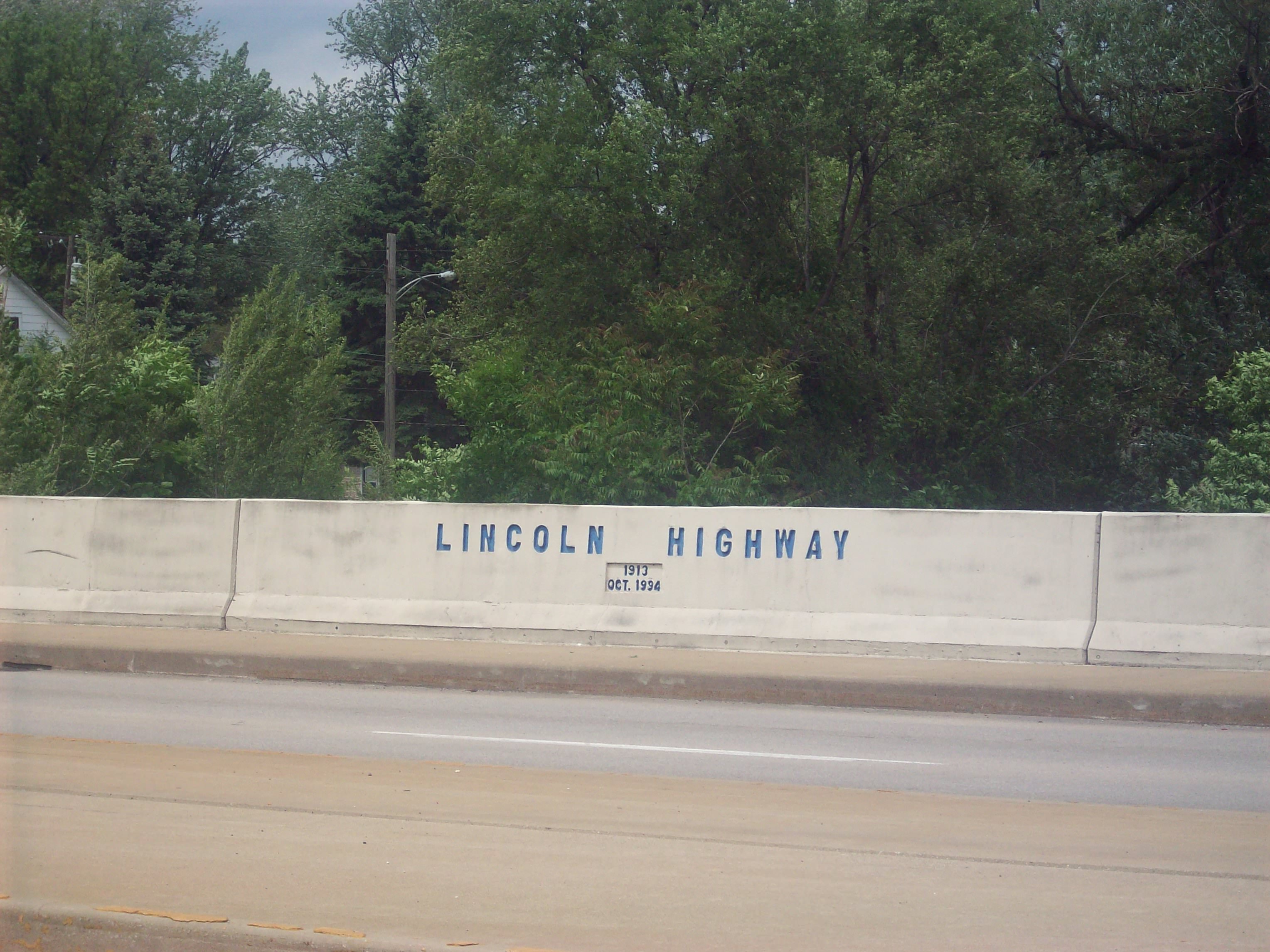
The last few weeks have been non-stop! Between the performances, interviews, and just general merriment, it’s all been amazing! Unfortunately, the road has finally caught up to me almost 4 months later. My immune system crashed, I got sick, and I’m now resting and recovering for the next stage of the tour. I can finally sit down and update you on this exciting time in the Lincoln Highway’s history.

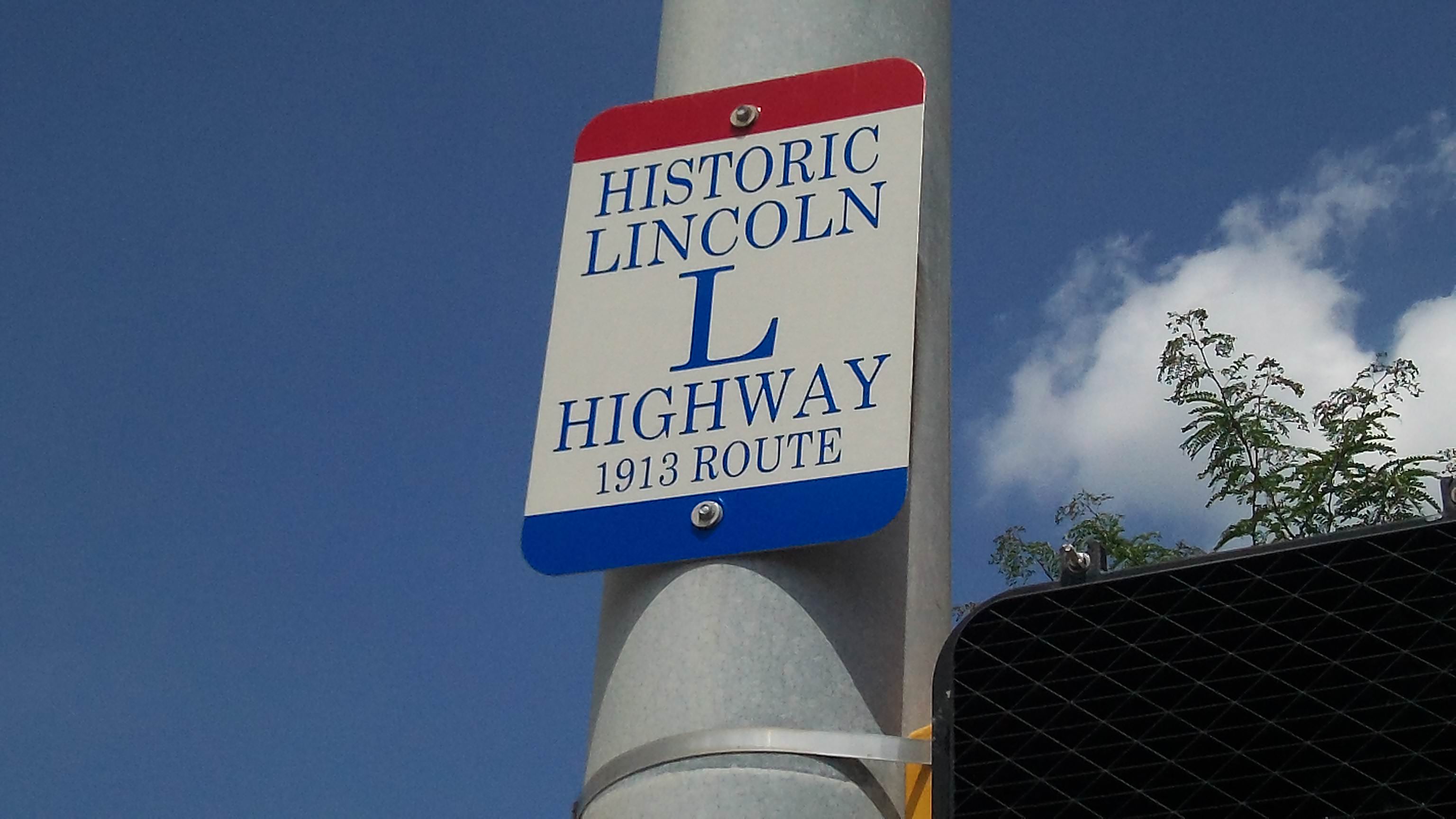
I’m doing the next couple posts slightly out of sequence because there’s so much information to cover. Today’s post will focus on Grand Island and all of the festivities for the Lincoln Highway’s 100th birthday in Kearney. My next post will be about the 2013 Lincoln Highway Association’s annual conference (of which I am a proud member), and then I’ll resume my regular posts which head westward.

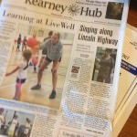
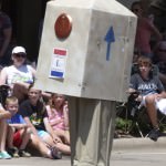
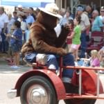
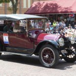
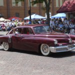
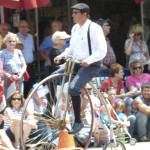
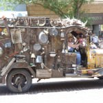
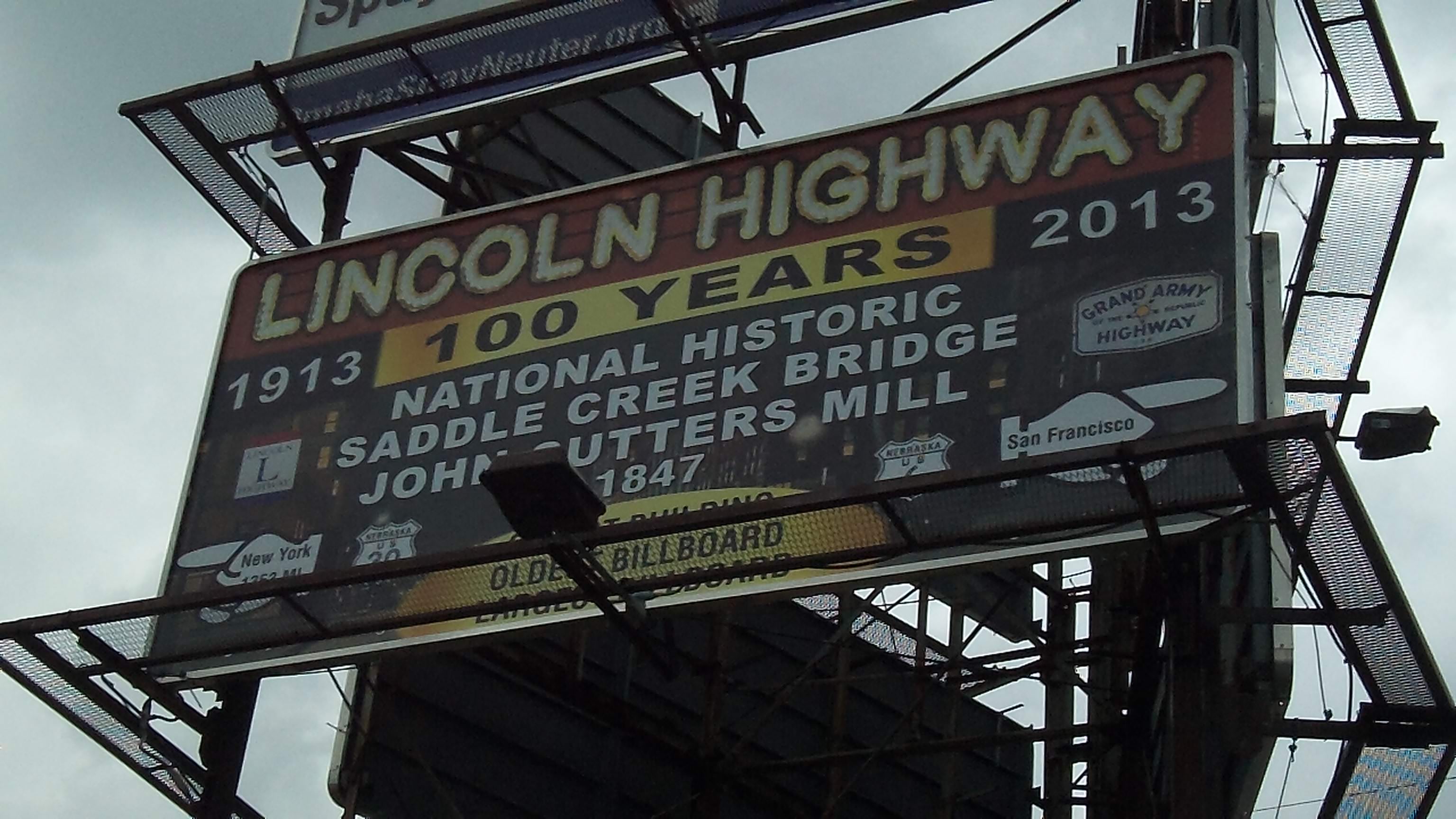
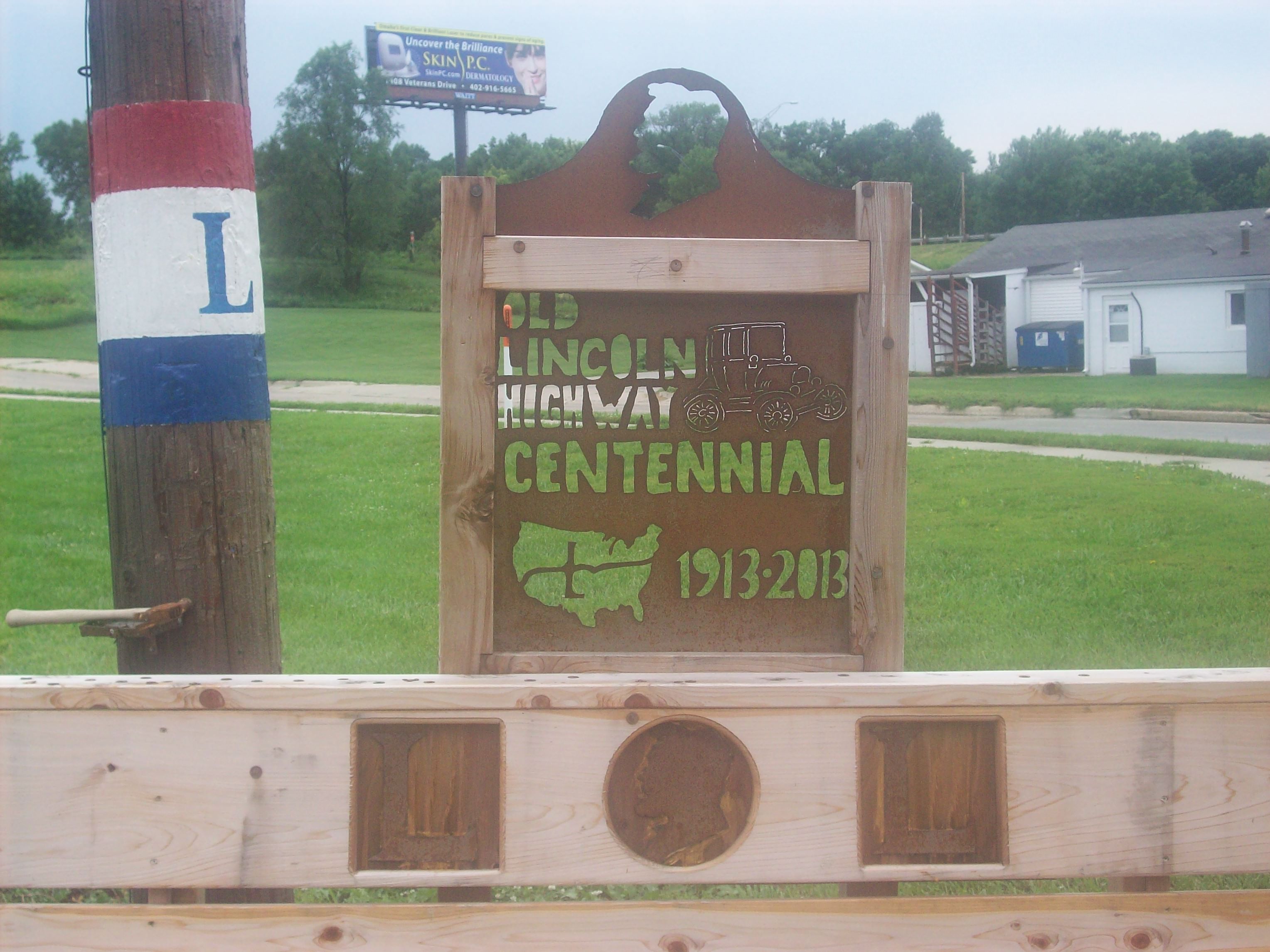
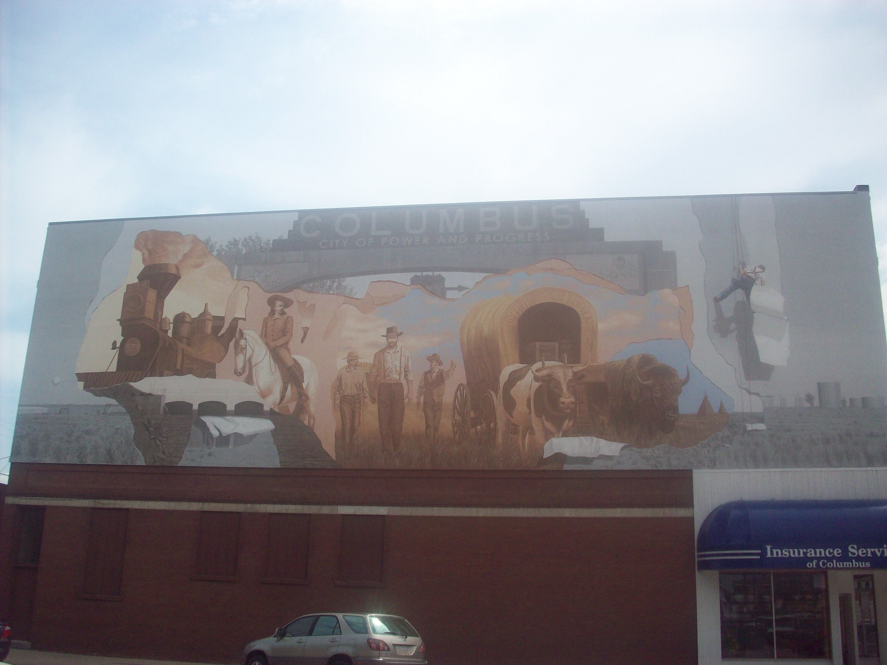
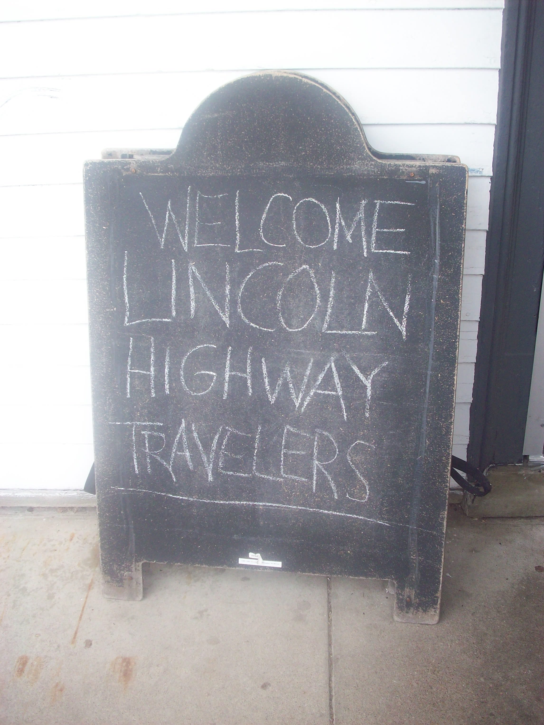
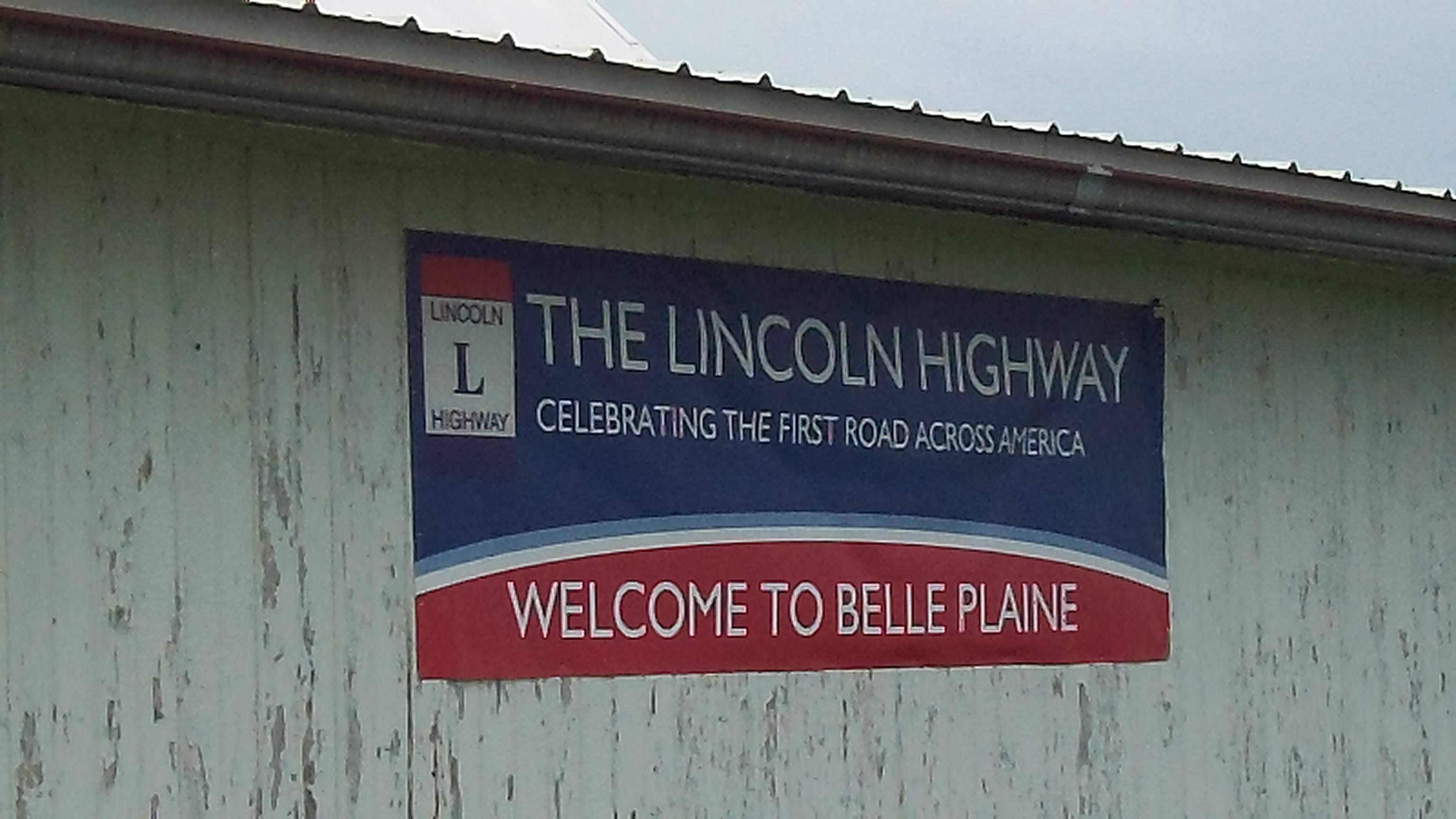
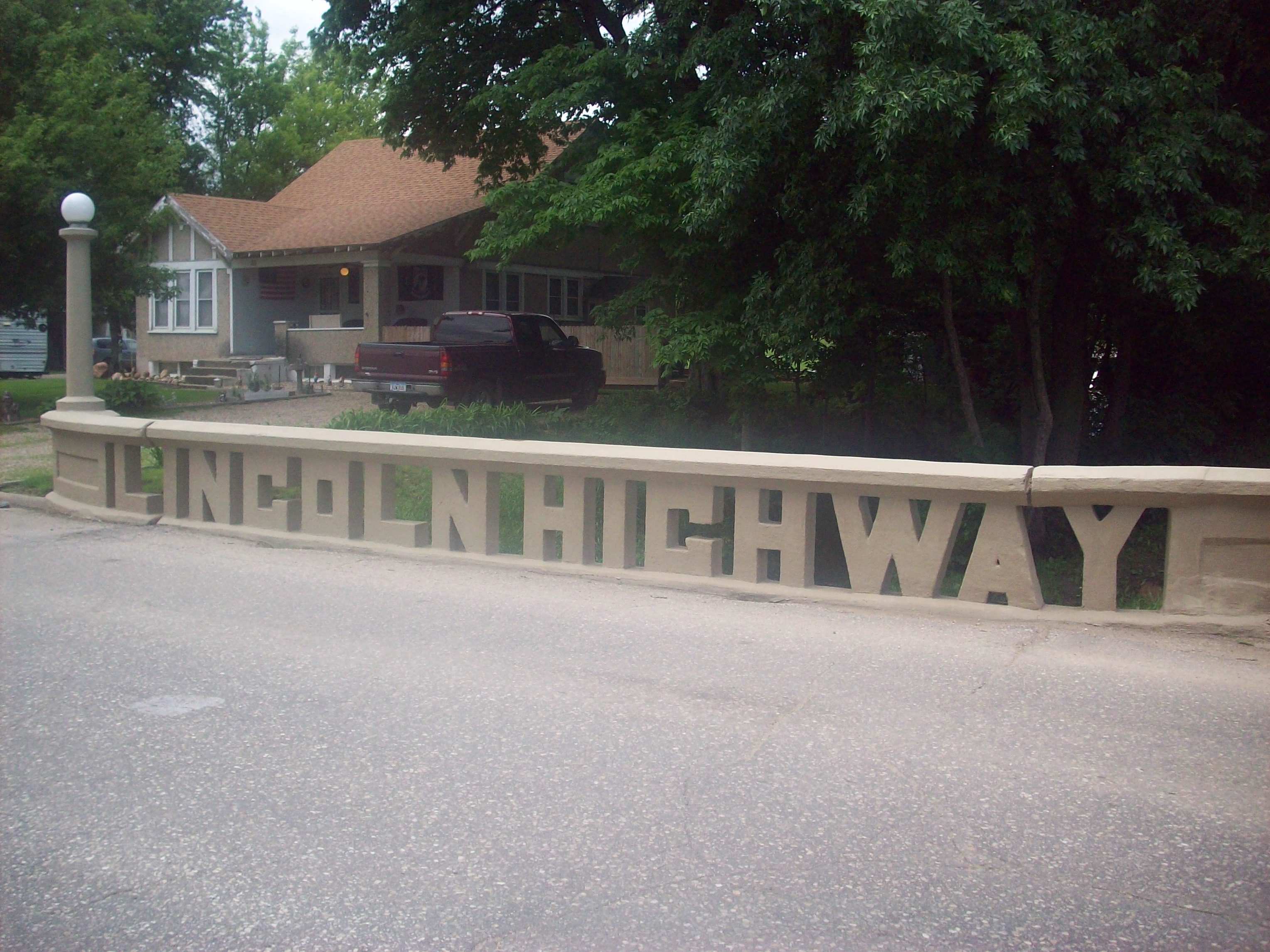
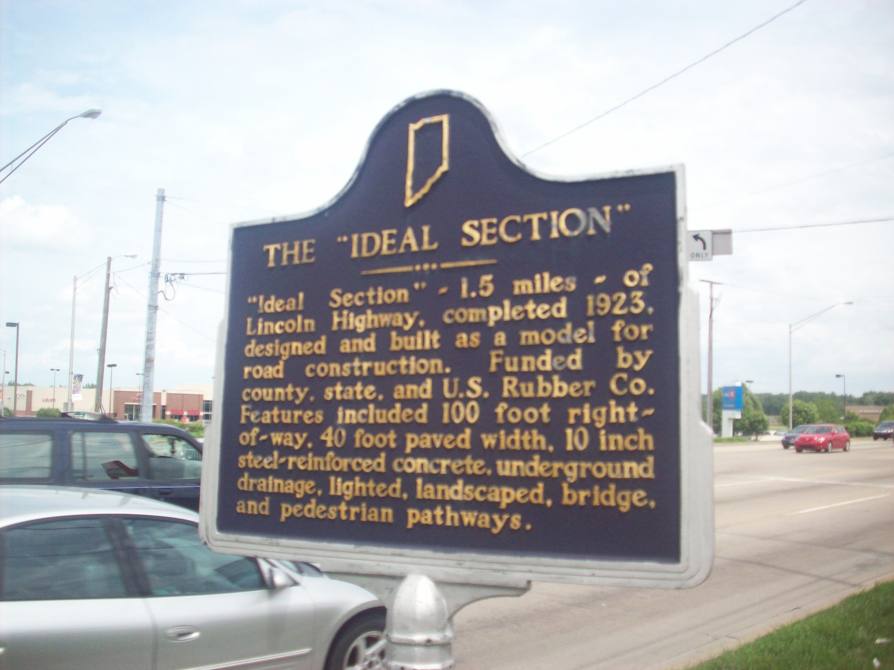
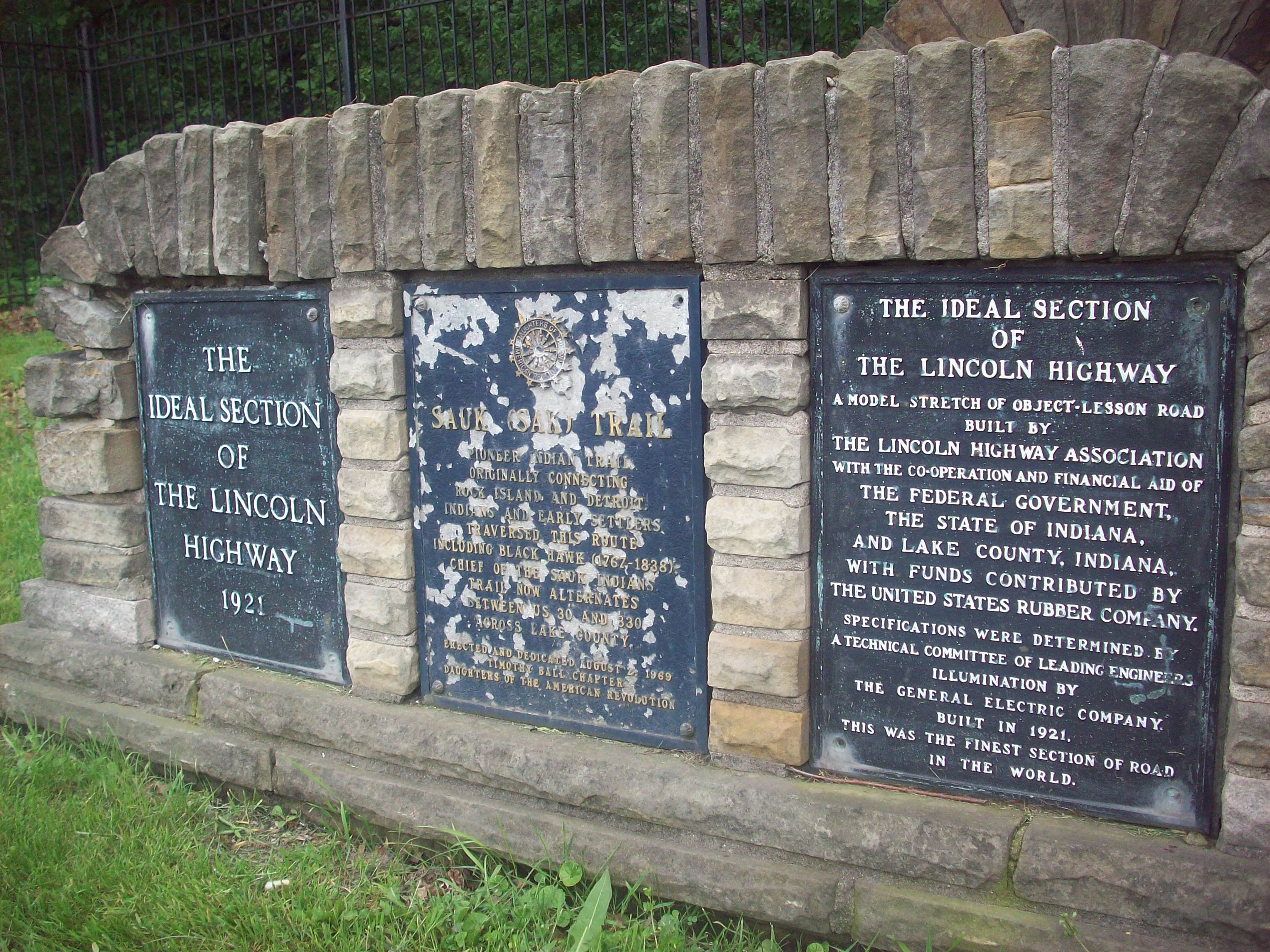
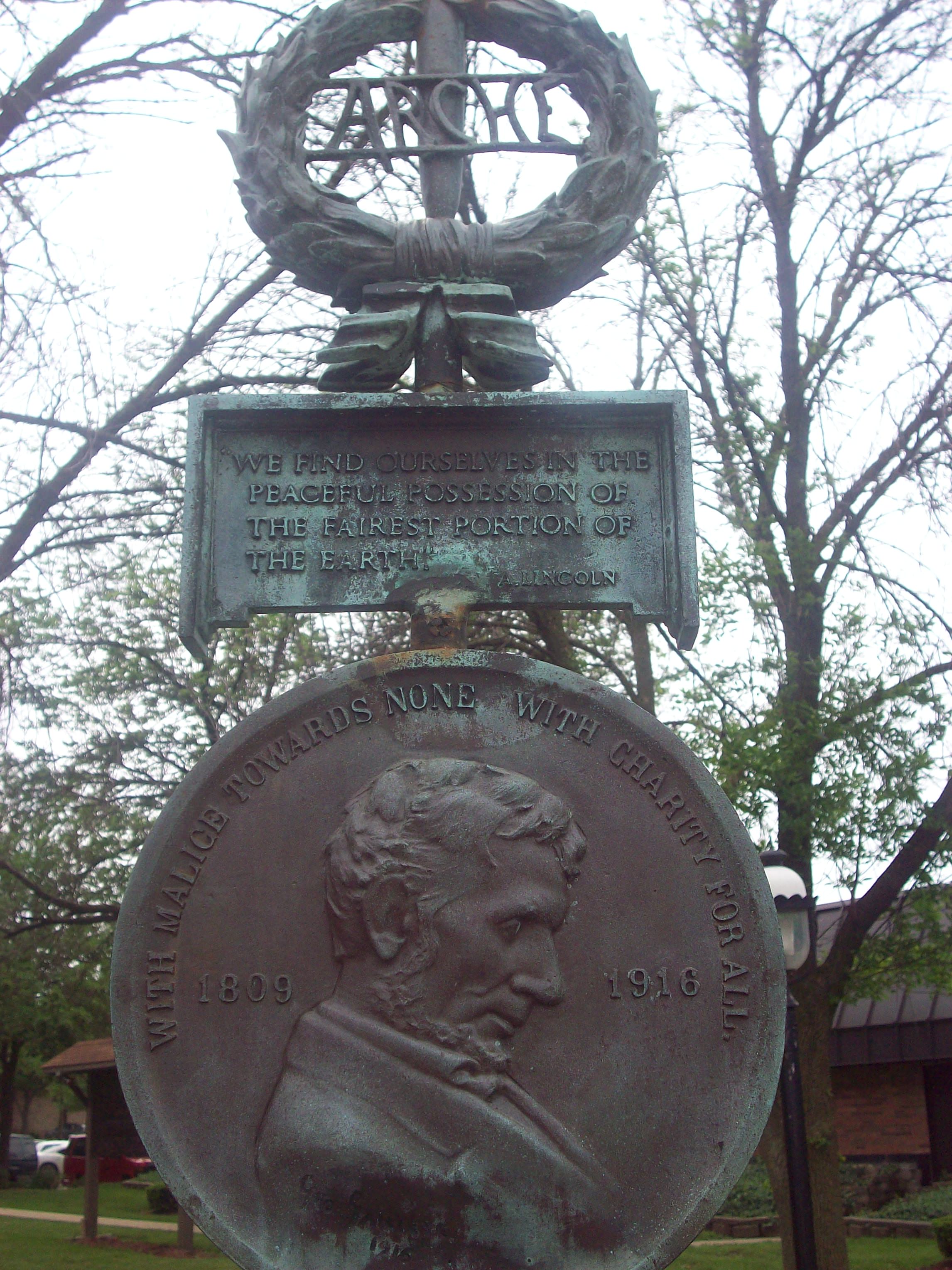
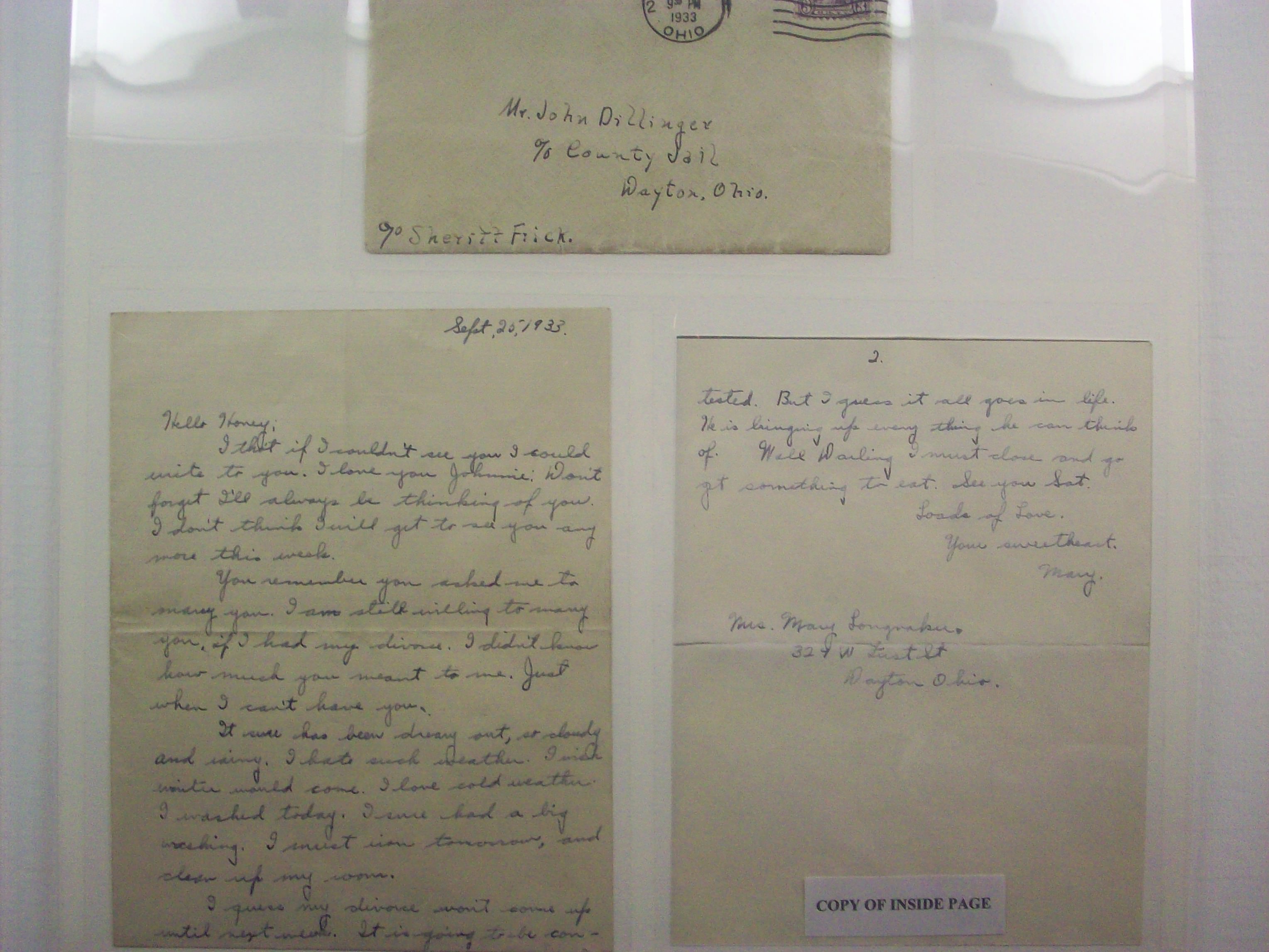
Wow, where do I start in regards to all of this? There’s still a mix of honor and disbelief that I was a part of the Lincoln Highway’s birthday. It all went by SO fast! What really accelerated things for me were all of the various TV, newspaper and documentary interviews I did during this time (all media stuff I did was a complete surprise to me). This is the first time on the tour where people walked up to me and knew who I was! Audiences in Grand Island and Kearney overall were very enthusiastic of the project and the music, and the Lincoln Highway pride was in full force everywhere. It was amazing to have so many people from all over the world in one place celebrating America’s first transcontinental road, and to be a part of those festivities was so humbling.

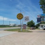
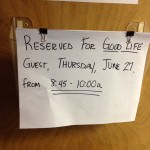
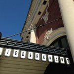
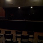
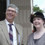
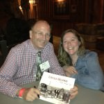
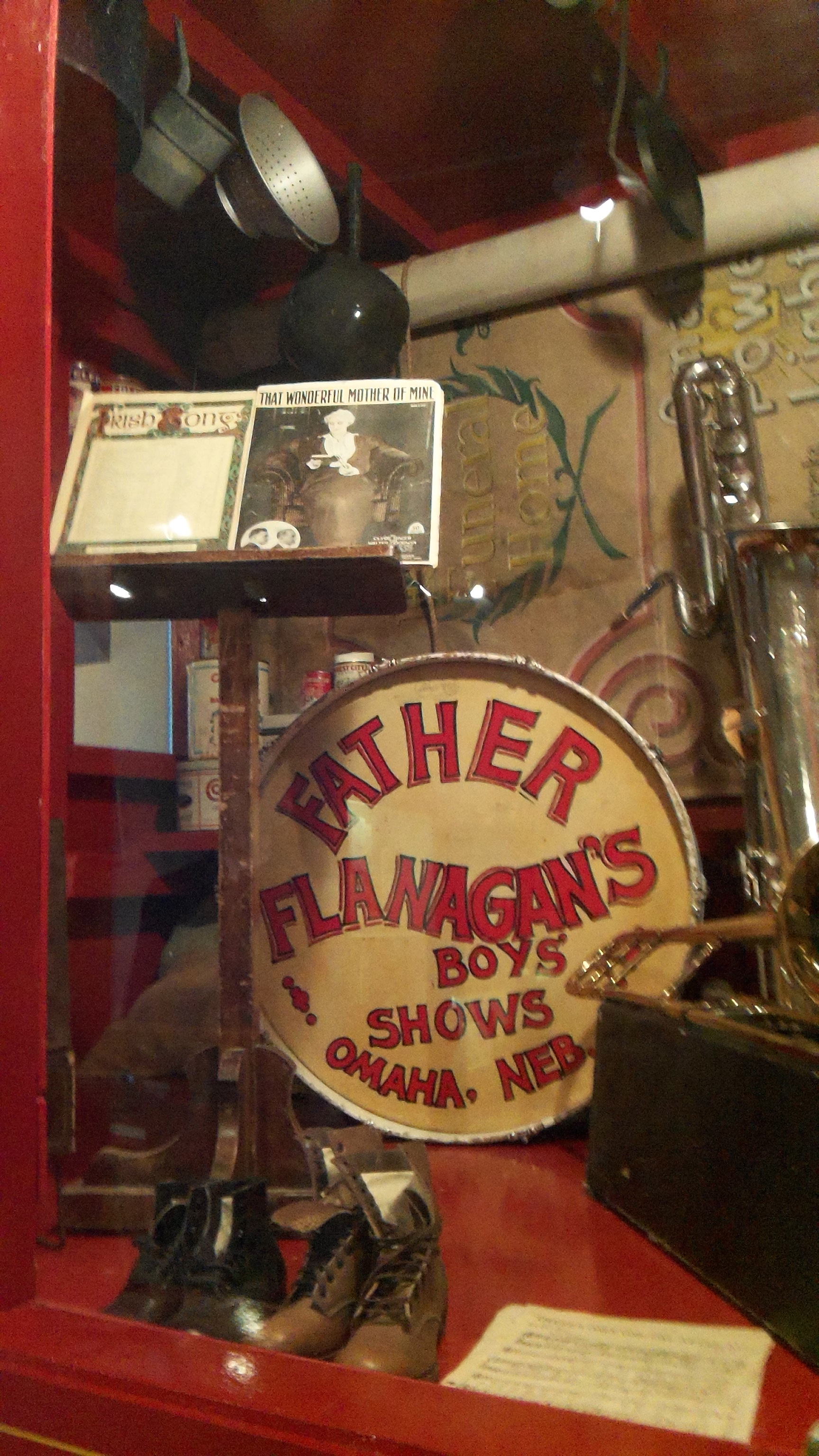
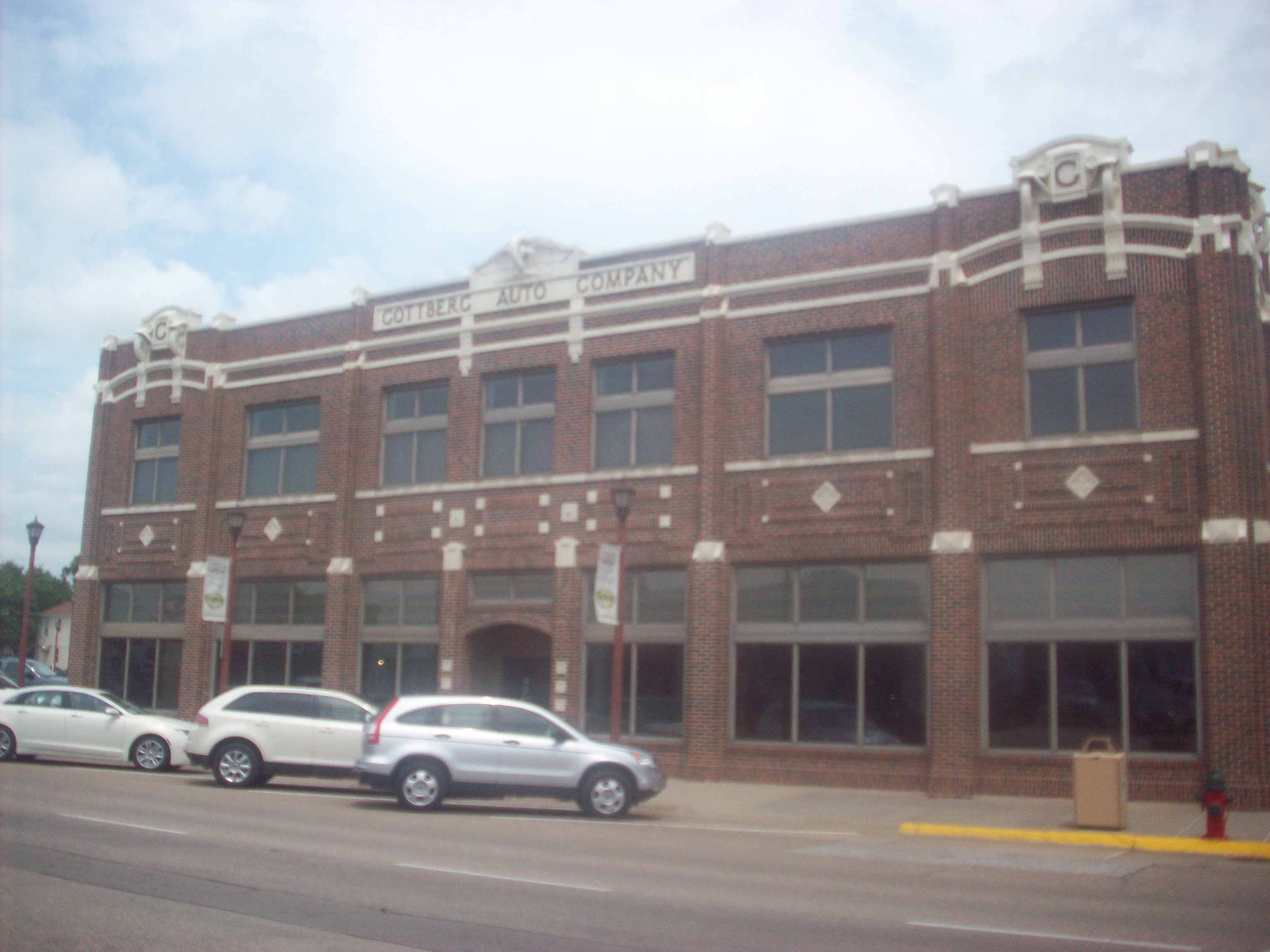
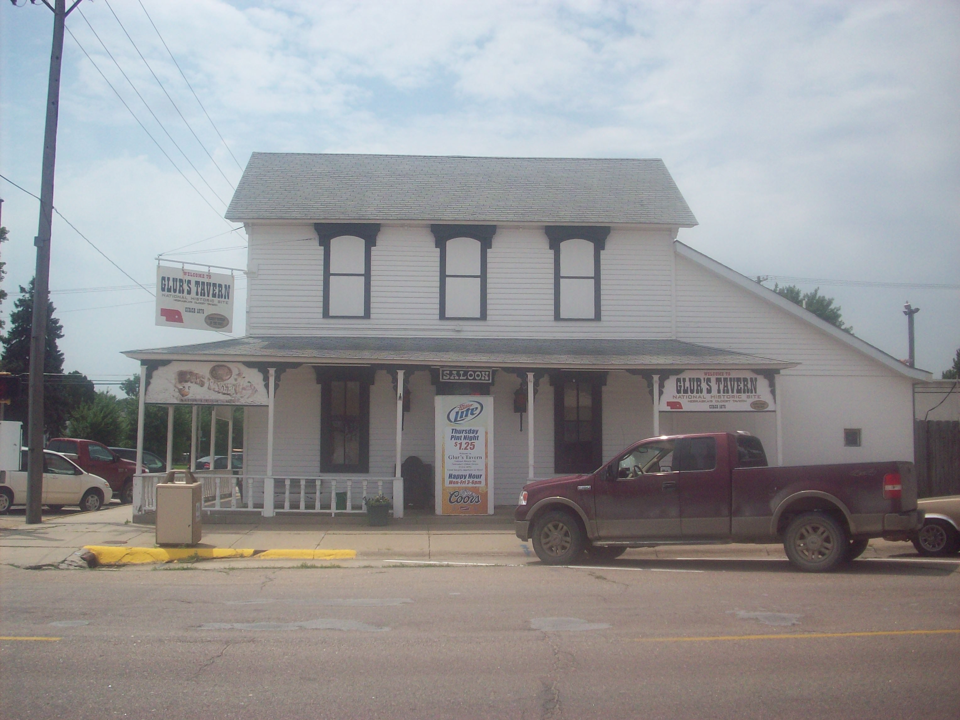
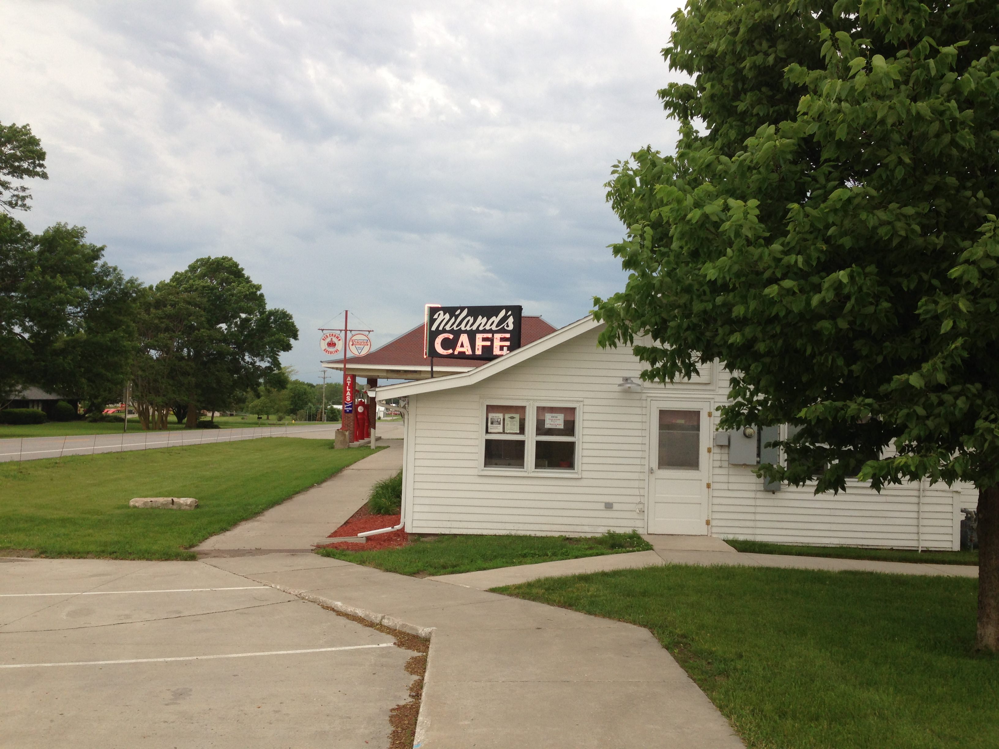
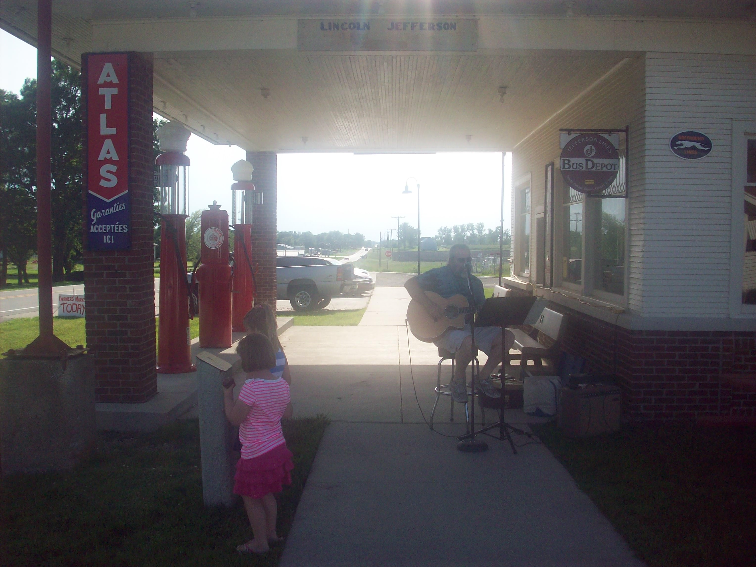
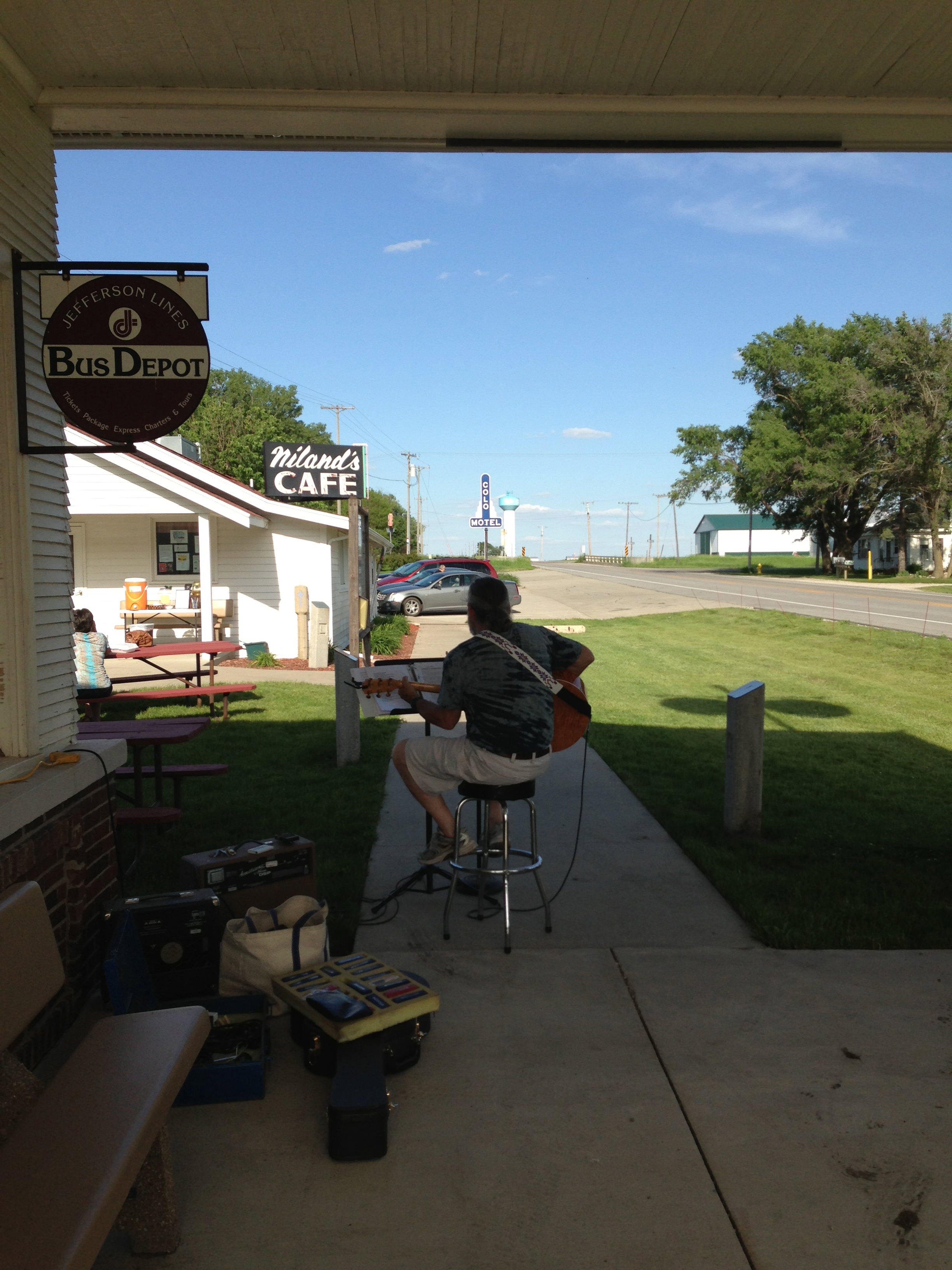
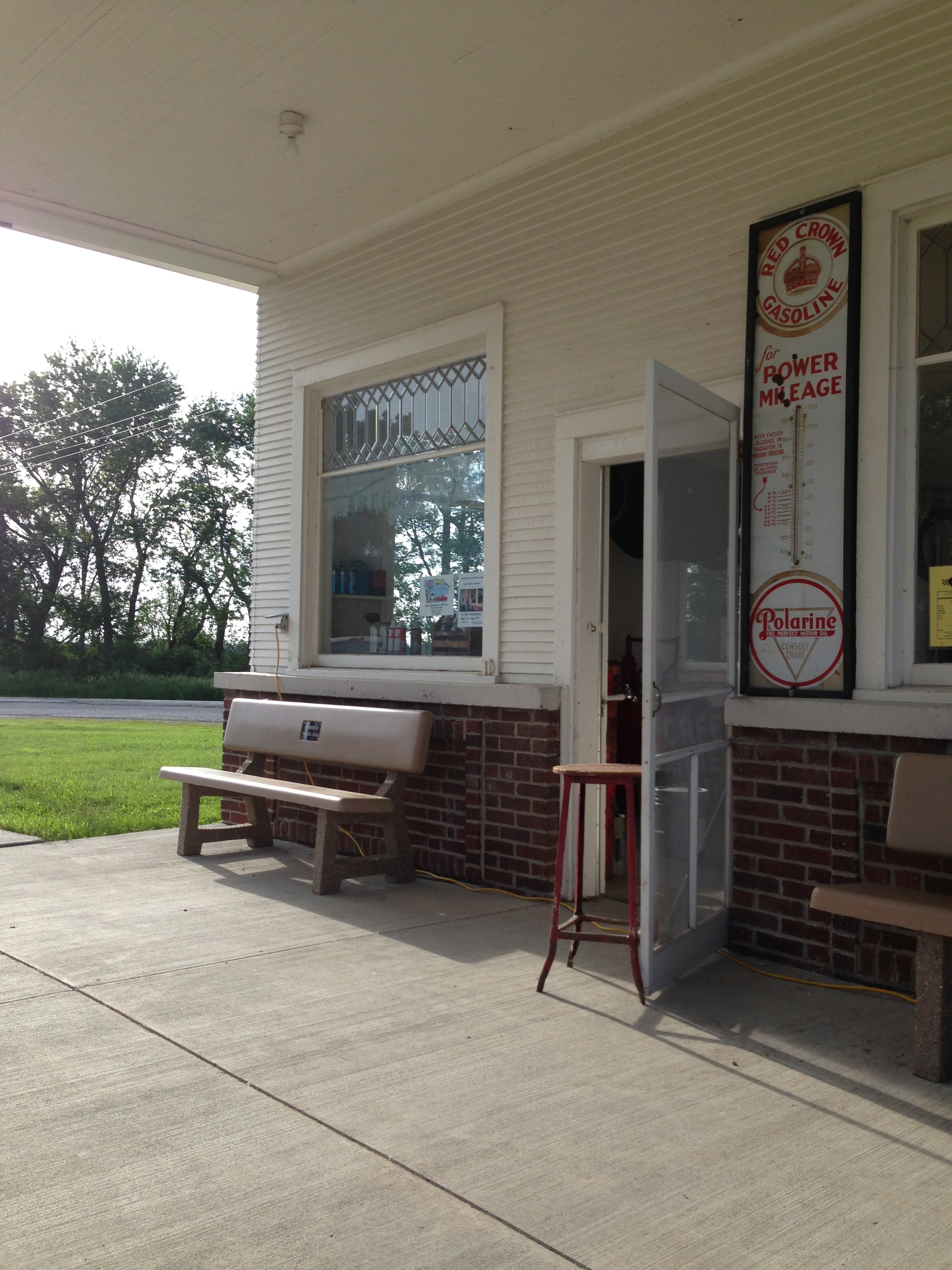
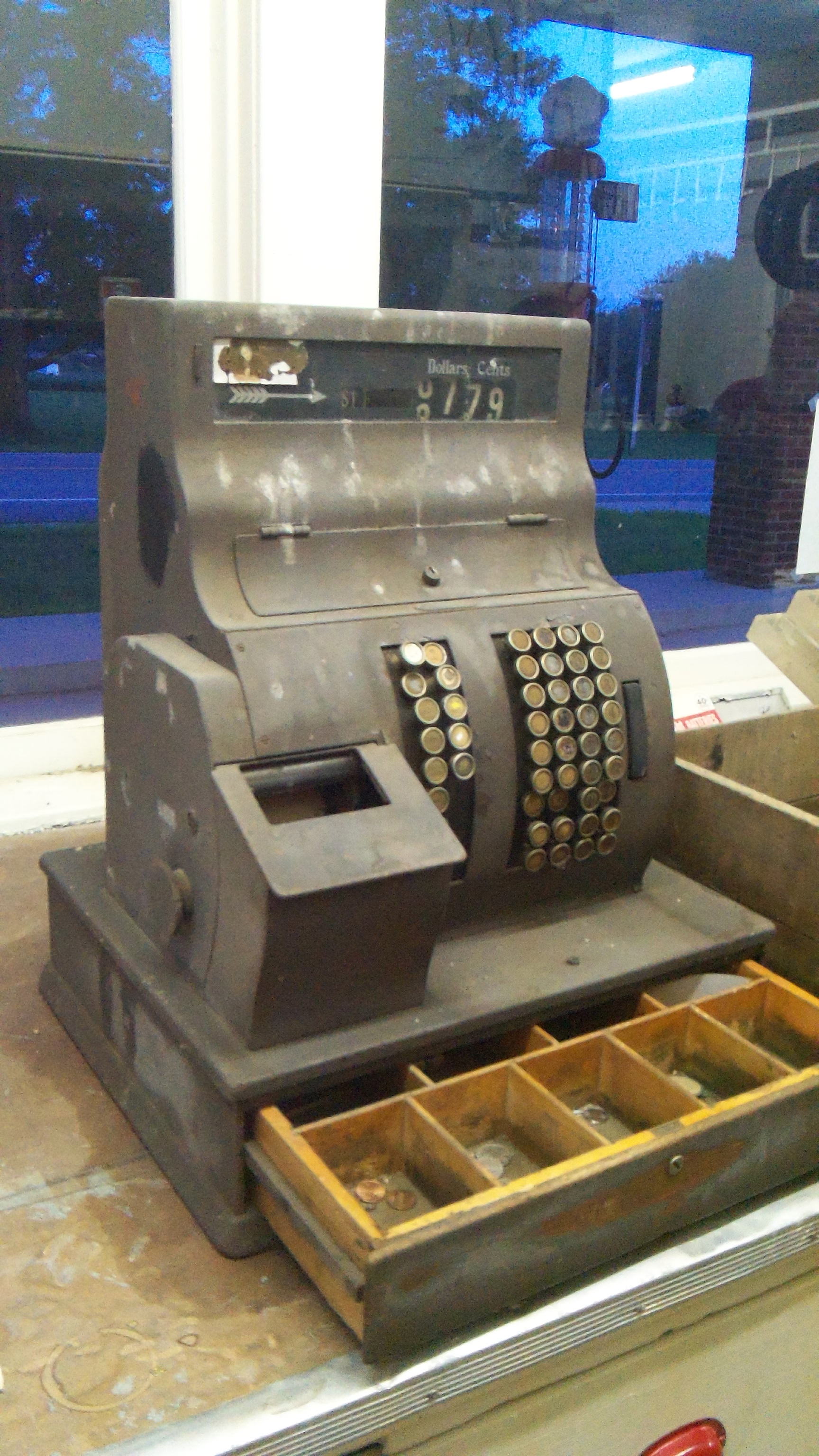
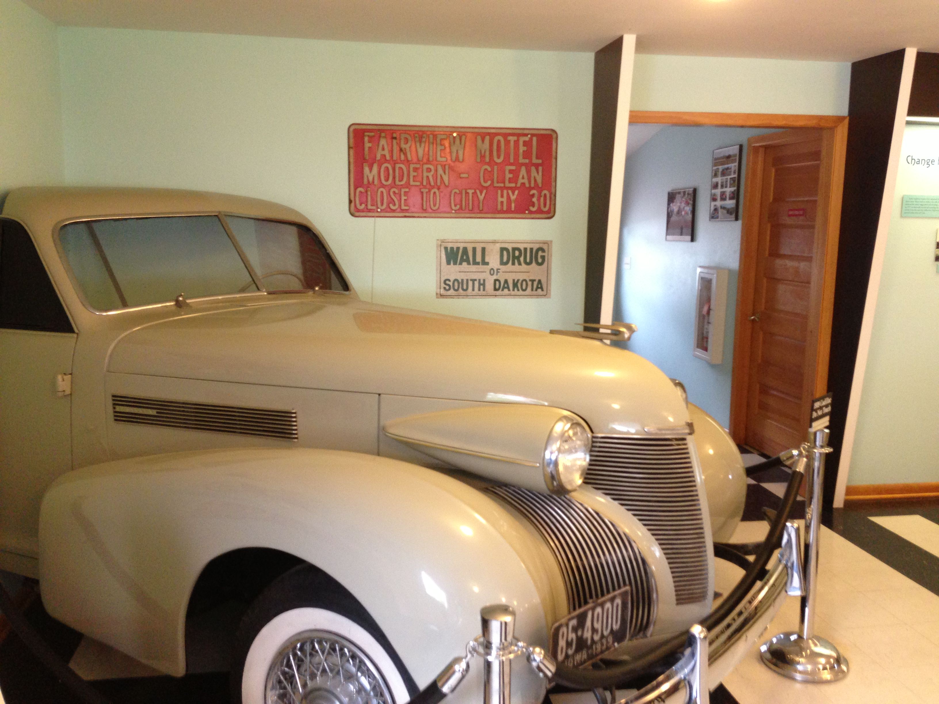
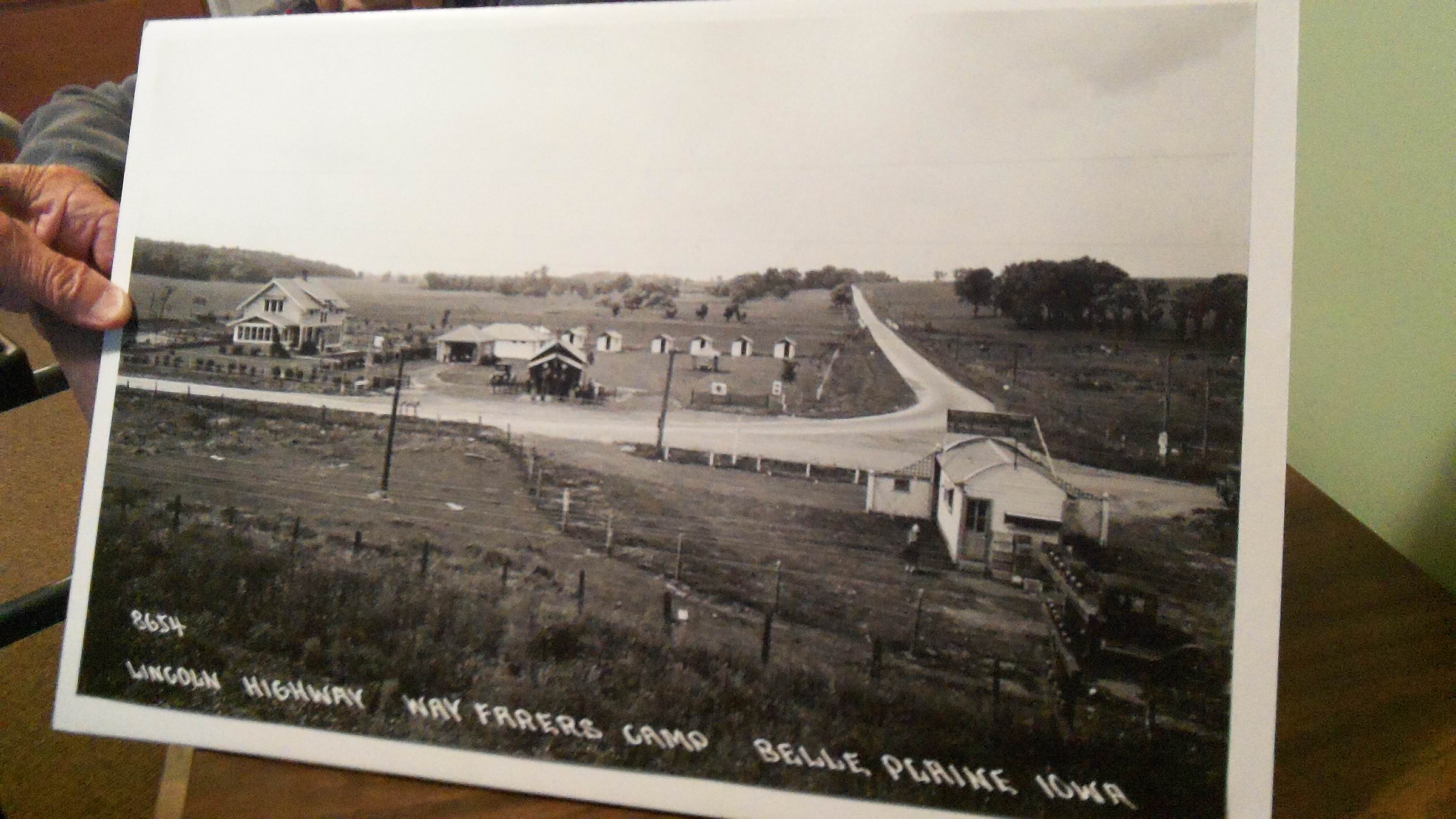
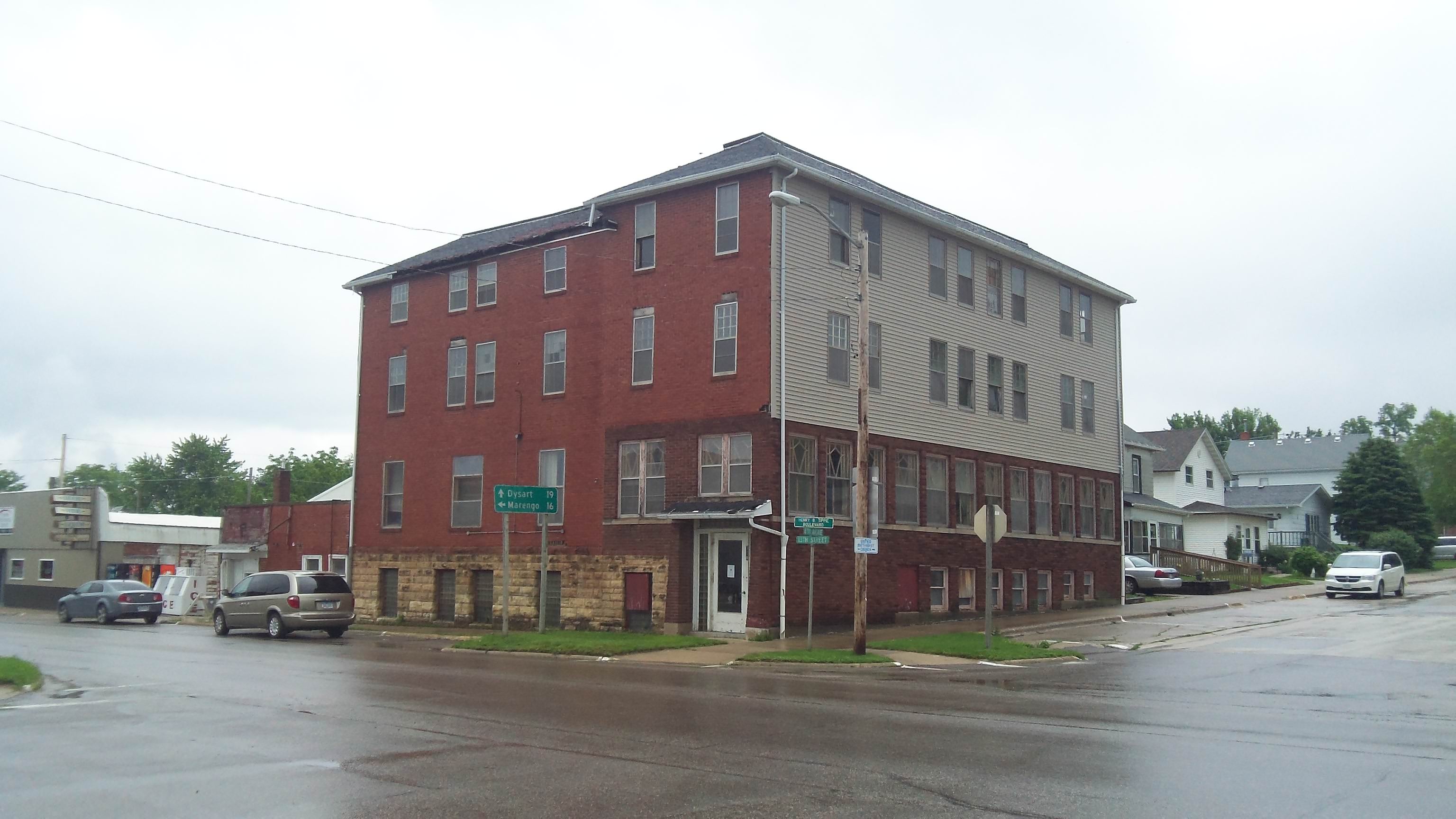
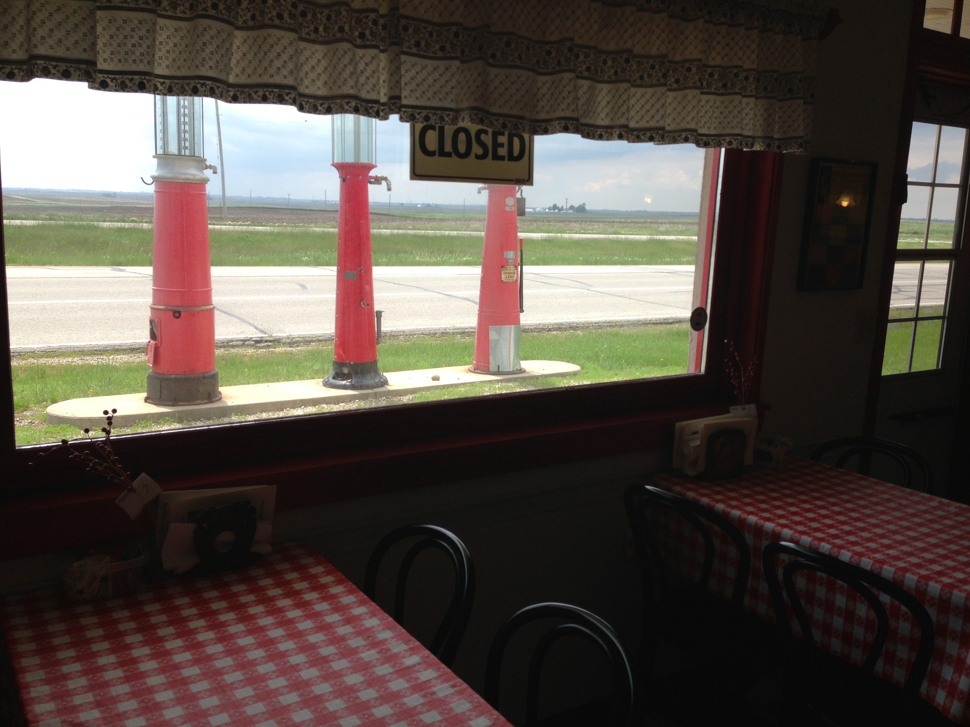
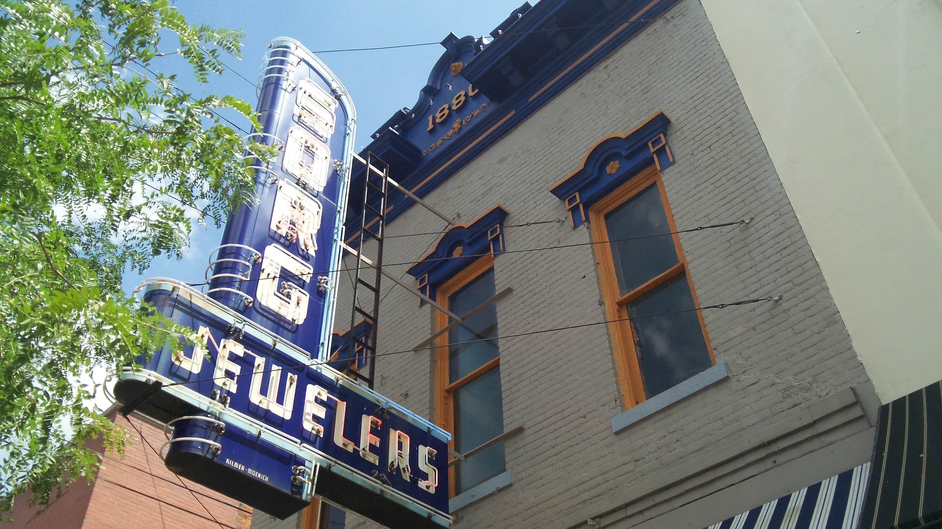
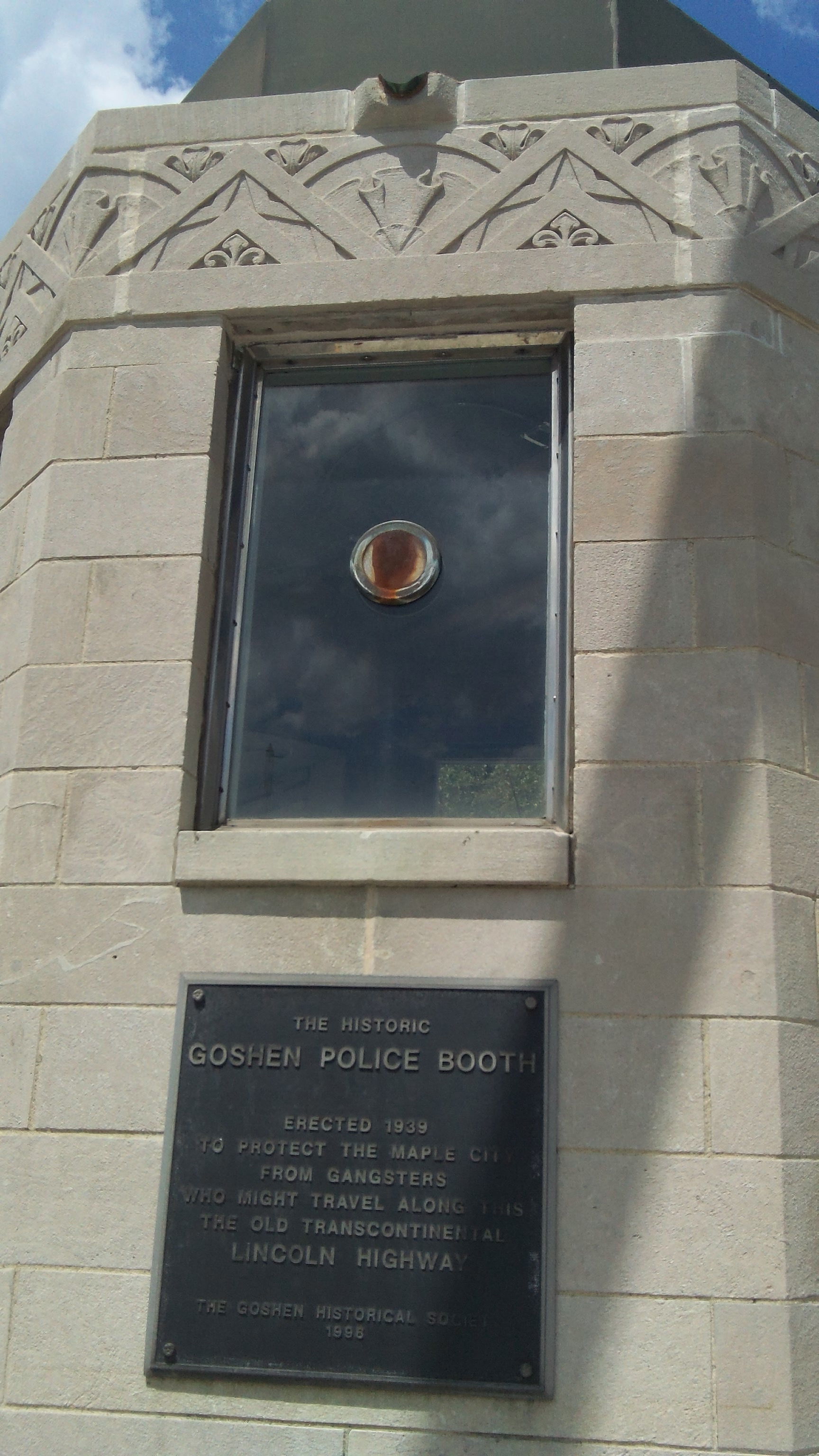
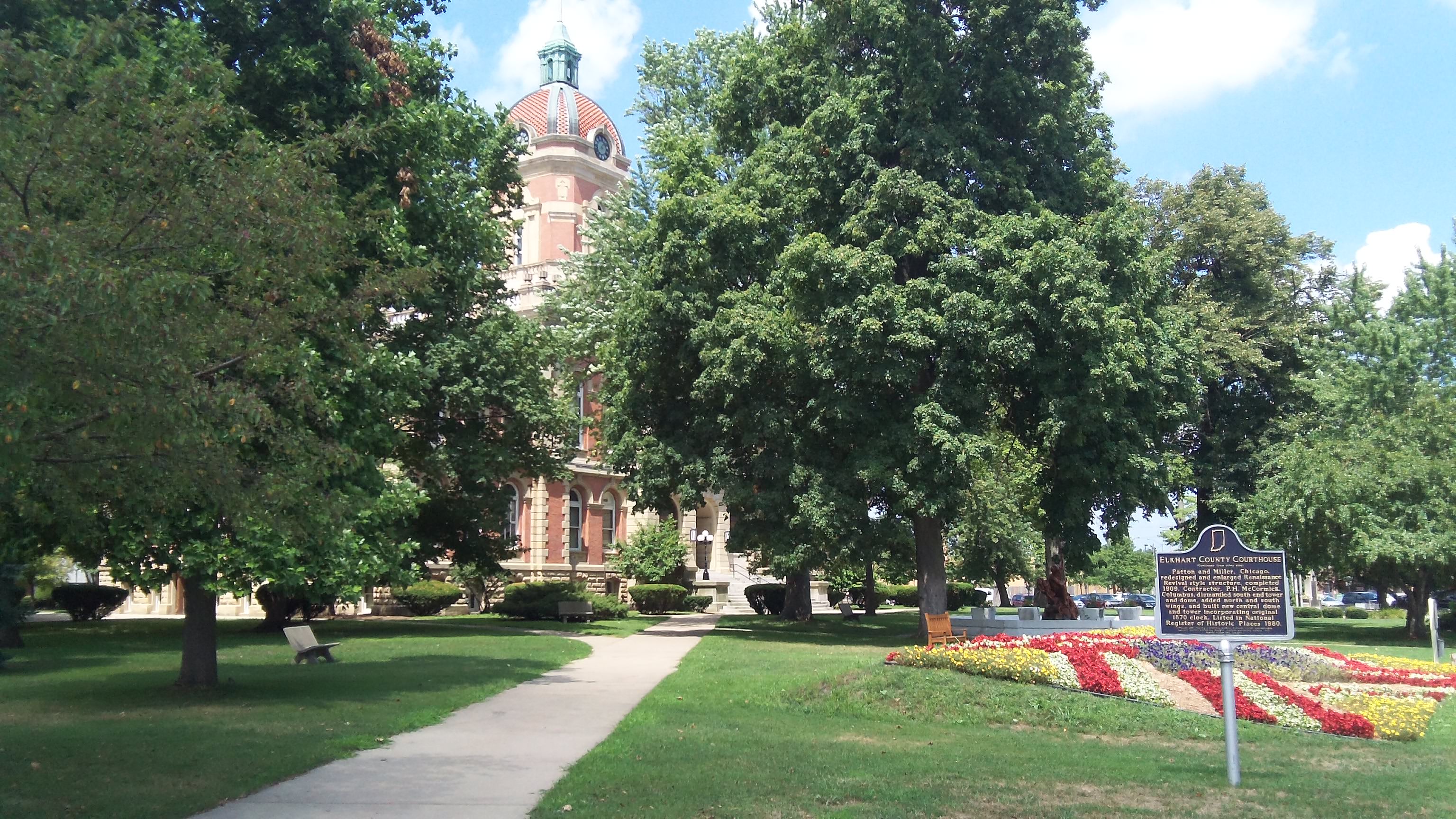
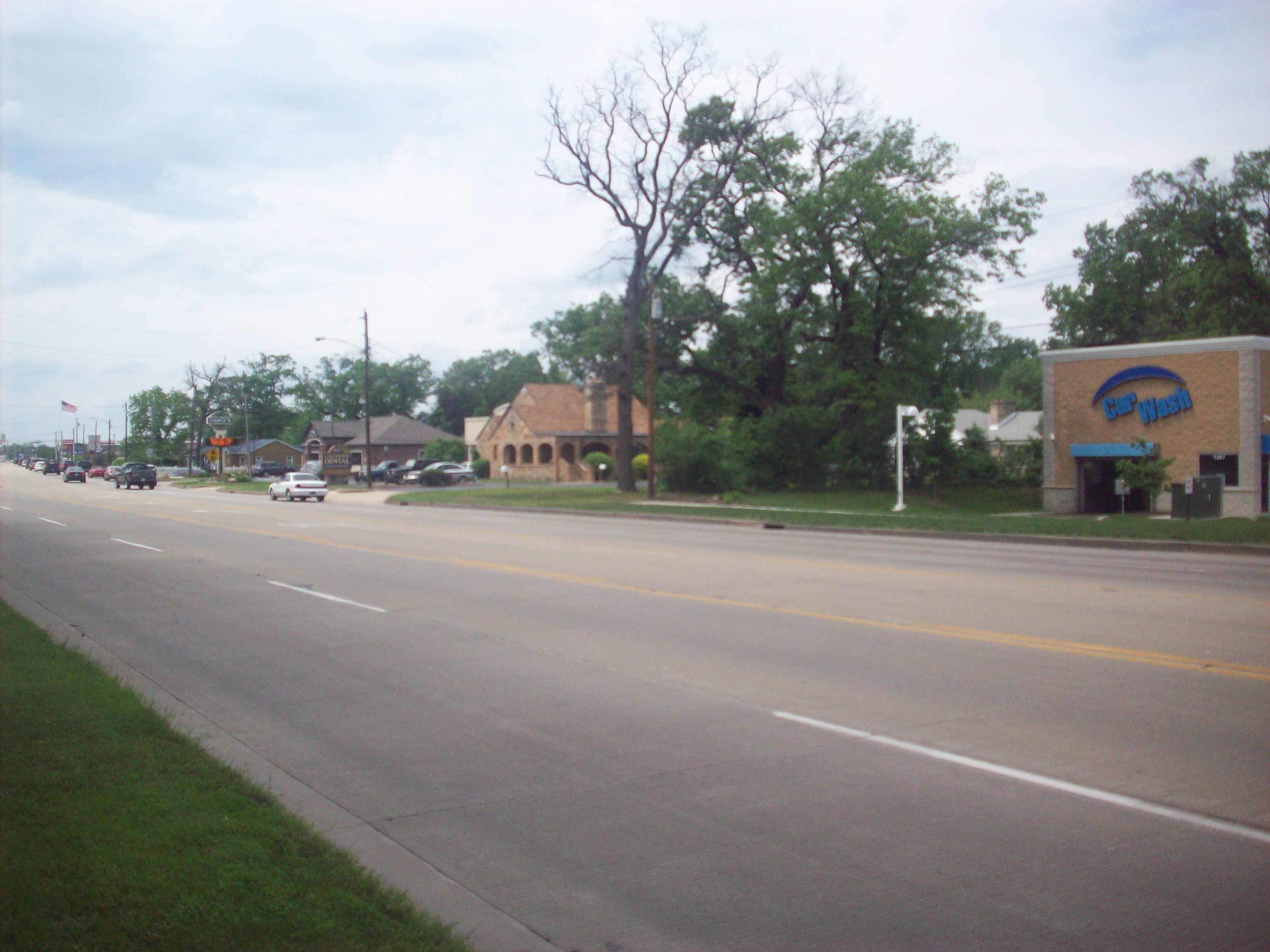
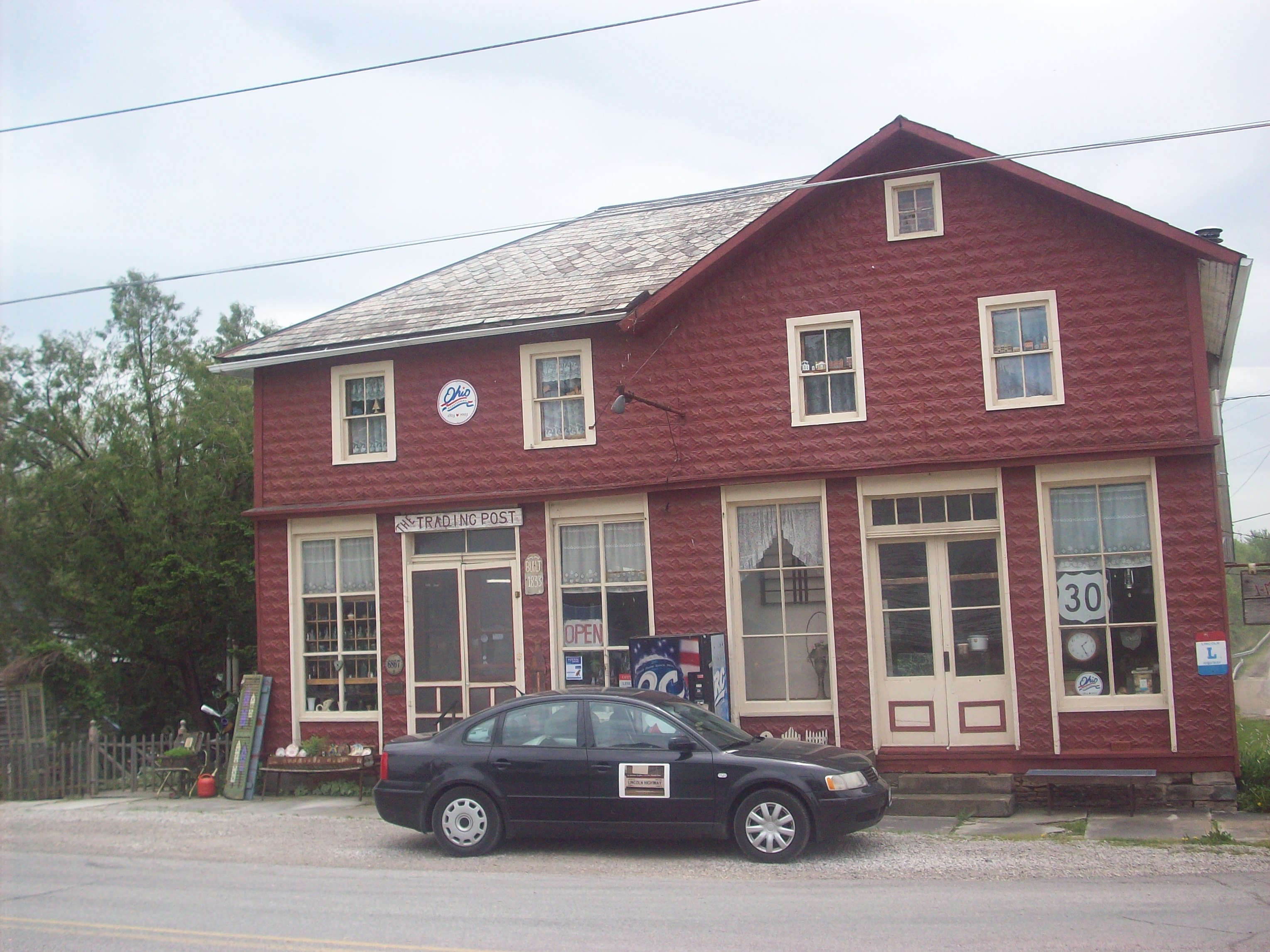
I truly wish I could have had more time to spend in Grand Island. There’s a lot of really wonderful things going on in this town. Originally I was set to perform in the Grand Theatre, but when renovations weren’t complete, I ended up performing at the Liederkranz instead. The universe direct us to places and people that we never thought we’d meet, and I have to say the Liederkranz is one of those places for me. It was an amazing place to sing, and the owners Fred and Gloria are top notch people in the community. The city of Kearney is roughly half way between San Francisco and New York City, so it was a natural choice to host the Centennial celebration. I got to the city before the LHA auto tours, the Tin Can Tourists, and other folks from all over arrived to the town and everything was all abuzz in anticipation of what was on deck for the coming weekend.

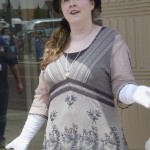
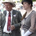
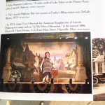
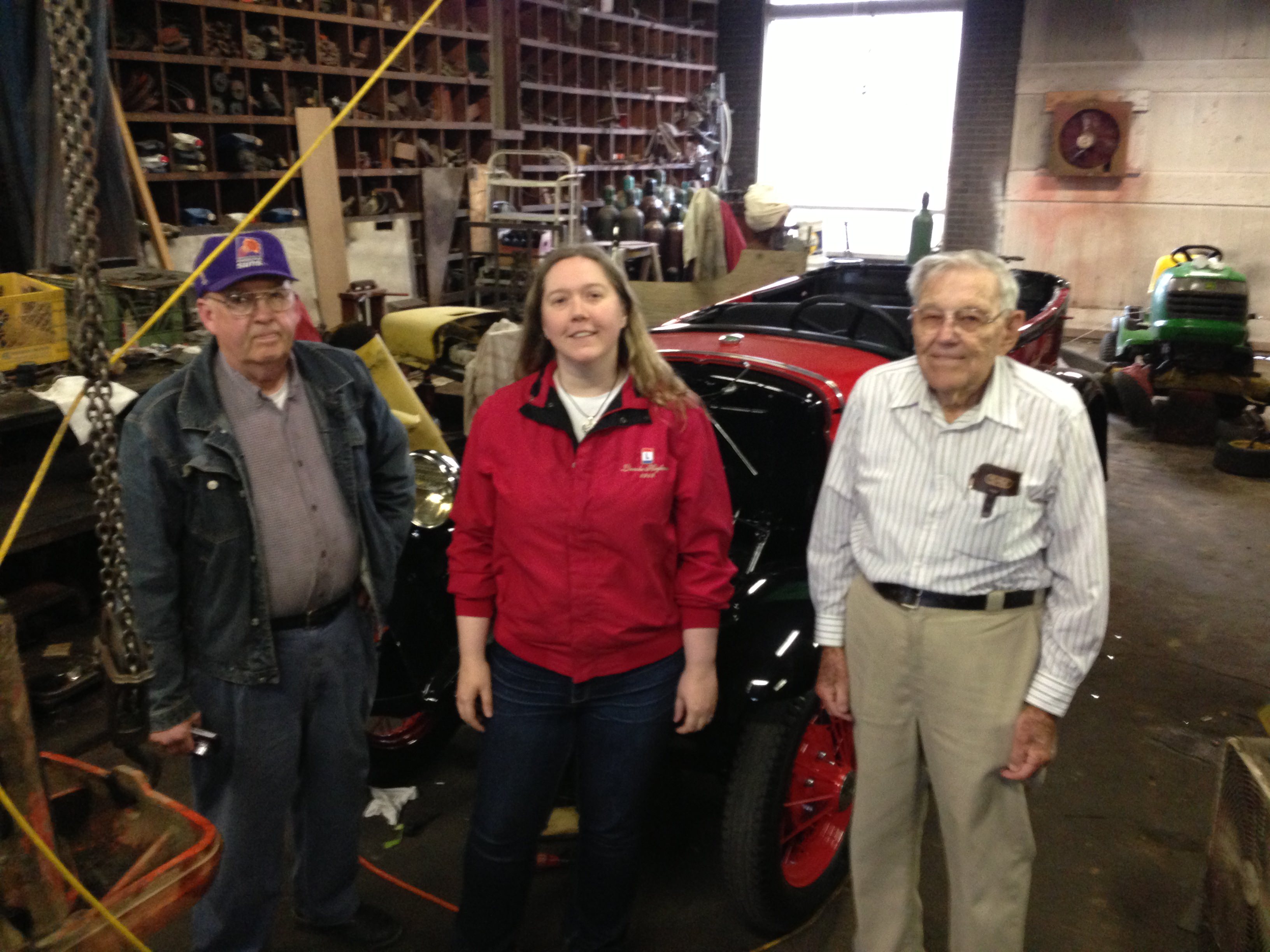
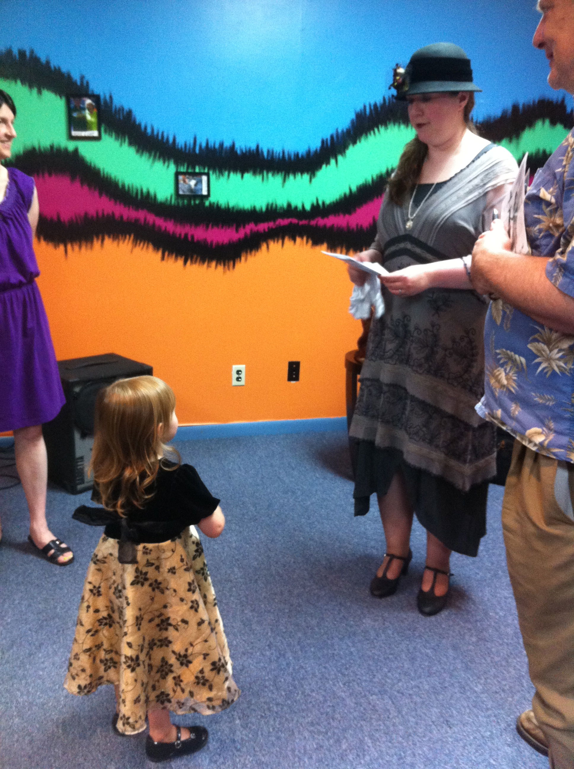
Okay, enough yakking. In a blog first, you’ll see a lot of pictures of me in this post, which is thanks to my husband Dan who was my roadie, photographer, and overall awesome guy during this busy time in the project. I couldn’t have done it without him!

The Shady Bend Campground in Grand Island used to provide gas, food and lodging to travelers for many years, and there were extra amenities like a playground and a sandy beach lake. Today it is now a restaurant.
Love this original sign above the main door at Shady Bend!
Not too far down from Shady Bend is Kensinger’s Gas Station, which is still a fully operating gas station for more than 75 years.
Here’s a picture of the gas station interior. Thanks to Richard Grudzinski for letting me take pictures of everything.
You saw the main room in the previous picture, here’s the back room of the gas station.
The sign to Kensinger’s gas station.
Located behind Kensinger’s in Grand Island, this is an original seedling mile (paved 1915). You can’t drive on it, but you can walk on it.
Another view of the Seedling Mile, with a few Burma Shave signs this time.
The Stuhr Museum of the Prairie Pioneer is a couple miles south of the Lincoln Highway, and definitely a fun must see when in the area.
It’s not fancy, but I’ll take it! The door to my dressing room for my live TV appearance.
Here’s the outside of the building I performed at in Grand Island, the Liederkranz. The club has been around since the 1870’s, but this current building has been in existence since 1911 (it was built along what would become the Lincoln Highway).
The Liederkranz is used for a variety of things from dances to dinners to sing-alongs, acoustically it was a perfect place to sing.
It’s a fuzzy picture, but as you can see this microphone is an old one and has probably been around for a long time.
There is a gentleman counterpart to this tapestry, but I loved these ladies that were awaiting me in at the Liederkranz.
Guess who made front page news in Kearney! What a nice surprise to see when I was checking into the hotel.
Singing for my supper in downtown Kearney.
Will Rogers and I look on at the parade as it goes by.
The Lincoln Highway “Marching Marker” made its debut in Kearney for the parade! I wonder if I’ll see it anywhere else…
Even Smokey the Bear made an appearance!
One of the hundreds of beautiful cars I saw during the parade on Sunday.
I’m not really a car person, but when a Tucker drives by, I pay attention.
These bike riders were so hypnotic to watch.
Officially the most unique car in the parade, this camper/truck made all kinds of fun and crazy noises as well as had some moving parts on the outside too.
Even FDR showed up to the festivities! He really loved my rendition of “God’s Country” (the song mentions the President himself).
My guitar player was Jeff Erpelding, a local Kearney musician who plays in a few bands in the area. Not sure what I’m pointing at, but it must be important!
San Francisco or Bust!
Kearney’s World Theatre was right across the street from where I was singing. It has been recently restored back to its 1920s glory, and it played a silent movie during the festivities.
Here I am with one of the great old cars that was on the 1910s block.
On Monday, I performed two great shows at the Archway to mark the highway’s centennial. In between sets, I ran over to the hotel to set up my table for the Lincoln Highway’s Annual conference (more on that in the next post).
There was a huge celebration at the Archway Monday evening, where there was a lot of good food, music and Lincoln Highway merriment! One of the things that did happen also was the Brian Butko gave a talk on Monday about the newest book he edited “The Lincoln Highway: Photos Through Time”.
Here’s a picture of Brian and I with my signed copy!
Last but most definitely not least, here’s the picture of me in this new Lincoln Highway book! You can find me on page 21. Thanks to Jamie Ralston (My Lincoln Highway) and Brian for putting this picture in the book. It was truly a wonderful surprise to see, especially on the 100th birthday of the road!

Filed Under: Lincoln Highway, Lincoln Highway Conference, Music, Nebraska, Venue Tagged With: Auto Tour, Brian Butko, Centennial Celebration, Grand Island, Kearney, Liederkranz, Lincoln Highway, Lincoln Highway Association, My Lincoln Highway

Bricks, bricks and more bricks! Exploring Western Iowa and Eastern Nebraska

June 27, 2013 by Cece

“Our battered suitcases were piled on the sidewalk again; we had longer ways to go. But no matter, the road is life.”  –Jack Kerouac

With the nearing centennial celebration coming up this weekend in central Nebraska, the highway came to life on a whole other level as soon as I crossed the border. From billboard signs to little Lincoln highway signs taped to telephone poles, the whole state is “Thinkin’ Lincoln” and rightfully so. This past weekend, hundreds of cars of varying ages, makes, and models left both San Francisco and New York City and are heading this way right now. While I’ve certainly longed for this weekend and to see my fellow LHA Members for the conference next week (it will be amazing on so many levels), I have to admit it’s been a little weird to see the metaphorical “wrinkles smoothed over” of the towns I’ve been going through in the last couple days. Don’t get me wrong, it’s nice to see all of the changes and celebrate the highway, but I also wonder what the towns look like when there are no celebrations going on. Are there many Lincoln Highway signs up, or would one get lost trying to find everything? It’s something to think about.

The photos in today’s post are from Scranton, Iowa all the way to Central City, Nebraska. Landscapes start to change from corn fields to rolling hills. The city of Omaha breaks up the highway’s routine of being sleepy and quaint. You drive parallel to a major train route, and you see trains coming and going constantly. Traffic is busier than you would think as it’s still a major thoroughfare for the area. Roads are narrower (with minimal to no shoulder) to keep their historic integrity in some parts, which makes it tricky to drive when it’s super windy as I experienced. You’ll see a TON of brick roads that have been preserved by various communities that I passed through, and it’s interesting to see how different the bricks look in each place.  My favorite finds below are the following (and you’ll see pictures of all of this below):

1) The Village of Boys Town – This place is a must stop for you if you take the original route. They do amazing work, and there are several places that visitors can tour. It’s an important part of the highway’s history (as well as US history) that I fear may be overlooked at times.

2) Elkhorn Brick Road Stretch: You’ll find this west of Boys Town. 3.5 miles of a perfectly preserved brick road including signs, markers, and bridges.

3) The “Avenus of Trees” in Duncan: In the heart of Duncan you’ll see two rows of trees which used to flank the original route.

4) Gardiner Station Section: This can be found in between Duncan and Silver Creek, and here you’ll see an iron truss bridge with a wooden plank floor in amazing condition.

New GPS using world, meet the Old Brick stretch of the highway.
These two Lincoln Busts (fully restored) now look over the corner of the LH in Scranton.
I was struck by this part of the road, and had to pull over to photograph it.
My pictures from Woodbine somehow all ended up being taken in Black and White. Here’s one of them.
This stretch of the Lincoln in downtown Woodbine is fully bricked, and it’s about a mile and a half in total.
Detail of Woodbine bricks. This photo I changed from B&W picture to a more Sepia/Antique finish.
At the intersection of Dodge and Saddle Creek Roads in Omaha, you can see this billboard. Sutter’s Creek Mill is right there, and is one of the oldest buildings on the route.
Here’s a picture of Saddle Creek Bridge, which is listed on the National Register of Historic Places.
Located right off the original route, Boys Town has been changing the lives of children for almost 100 years. This original sign now hangs in the Visitors Center.
This is the biggest ball of stamps, which is also in the Boys Town Visitors Center. Read the next Photo to get the details.
This Sign was used in the movie “Boys Town”, which starred Mickey Rooney and Spencer Tracy.
Spencer Tracy won the Oscar for his portrayal of Father Flanagan in the movie Boys Town, and he gave it to Father Flanagan. There are two inscriptions on the base showing both Tracy’s official inscription, and the one he added for Fr. Flanagan. It’s my first time I’ve ever seen an Oscar in person, and it was truly a sight to behold.
From 1928-1938, Fr. Flanagan and some talented boys toured around in the area giving performances. As time went on their popularity grew, so much so they started to tour nationally, and then were given a weekly radio show.
Here’s a detail of this reproduced trailer. Again, I love taking pictures of the old sheet music!
Just outside of Elkhorn, NE is one of the longest (if not the longest) preserved brick stretch of the highway. It’s about 3.5 miles in total and has several LH markers along the route. There’s A huge plaque in the middle of the stretch, but it was covered in a tarp. I’m guessing it will be unveiled when the car tour comes through. Can someone please send me a photo of this plaque?
First LH sign I saw in Nebraska.
Old LH Pole marker that has been repainted along the route.
Detail of this brick again, but this time showing what the curb looked like.
Here’s what the Lincoln Highway signs look like in Nebraska. They do continue on the route from what I’ve seen so far, but are not seem as regularly as in other states.
Chipped LH marker.
This Truss Bridge has been reconstructed as well along the route.
Again, more picturesque brick sections that I had to photograph. So beautiful.
Found this folk art right after I was finished driving the brick section in Elkhorn. Everyone’s thinkin’ Lincoln!
Here’s a brick stretch in Fremont, NE, the next town after Elkhorn. Note it’s a little different than the Elkhorn stretch.
This 1921 Statue of Lincoln was made and placed by the Mullins company, and was made by the same people who made the statue in Wilkinsburg, PA (see my Pittsburgh post for that picture).
This Mural of Columbus commemorates the town’s Sesquicentennial (1856 – 2006). It notes pivotal historic points for the town, including Buffalo Bill’s debut in the Wild West Show here, as well the Columbus arch which welcomed Lincoln Highway travelers in the 1940s and 1950s.
I don’t know much about the Columbus theatre, but I do know it was built in 1926 in the art deco style and is on the historic register. If anyone else has any other stories about this theatre let me know!
Built in 1920, the Gottberg building used to assemble and sell Fords. Today it is a restaurant and brewpub, which makes great batches of homemade root beer.
This Lincoln Highway Garage in Columbus was built in 1915, and is part of the Lincoln Highway Garage Associations (along with many others).
Built in 1876, Glur’s Tavern is supposedly the oldest continuously operated tavern west of the Missouri River.
This is the first time I’ve seen this sign on this tour. I know it’s meant for the car tour that’s coming up behind me, but it’s still nice to feel a part of it.
The “Avenue of Trees” is located in midtown Duncan, NE just east of Columbus. These rows of trees show where the original highway used to go.
While walking the Avenue of Trees, I cam upon these flowers growing where the road used to be.
Just outside of Duncan look for the “Historical Landmark” sign and follow it. There you’ll find the 2 mile Gardiner Station section of the original highway as well as this iron truss bridge with a wooden plank floor. This bridge is now listed on the National Register of Historic Places.
View of the bridge from the road. This bridge can hold a maximum weight of 8 tons, but I still felt nervous driving it as you can imagine.
Detail of wooden planks.
Next down the road from Duncan is Clarks, and this is the first of two murals in the town.
There were more bricks in Clarks! As you can see, they were laid in a different pattern at this intersection. The bricks were laid this way to prevent them from “stacking” as iron wagon wheels would turn corners in the early 1900s.
Here’s the 2nd Mural you can find in Clarks.
Detail of the door in the mural.
I thought this sign was an interesting commentary.
Old gutter in Clarks, NE.
A toad hopped out to say hello while I was photographing in Clarks. My first toad I met on this tour was named “Frank” in Hanna’s town in Pennsylvania, maybe this is Frank’s western cousin?
Biggest welcome sign ever. Central City has an interesting past when it comes to the highway. In the 1916 guidebook (as well as one of the songs I perform on tour) there’s a special warning in the margins noting that Lincoln Highway markers were removed by the “Local antagonistic influence”.

The next week will be crazy for me blogging-wise as I have performances in several places over the next 8 days including: Grand Island, Kearney, North Platte, and Sutherland Nebraska. I will post in real time when I can on my Facebook, Twitter and Instagram pages, so if you want to check in to see how things are going until the next blog post you can visit me there. Until then everyone, safe travels wherever you may and have a Happy 4th of July weekend!

Filed Under: Driving, Grassroots, History, Iowa, Lincoln Highway, Nebraska, Travel-General Tagged With: Abe Lincoln, Avenue of Trees, Boys Town, Brick Road, Bridge, Clarks, Columbus, Duncan, Elkhorn, Fremont, Lincoln, Lincoln Highway, Missouri River, Missouri Valley, Mural, Omaha, Oscar, Red Brick Road

The Reed/Niland Corner: One of Best Places to Experience Highway History

June 21, 2013 by Cece

It’s hard to believe this, but I’ve now been on the road touring and performing along the Lincoln Highway for three months. I’ve got three more months to go still, and it’s times like these when you need to regroup and recharge. This is where the historic Reed/Niland Corner comes into play.

I’m a firm believer that history is alive all around us, and appears in so many different ways, not just in books. At this part of the route in Colo, Iowa it’s so alive you really feel it. Built at the intersection of the Lincoln and Jefferson Highways (more on the Jefferson Highway shortly), this corner of the world saw a heavy amount of traffic. So much so, that back in the early 1920’s, Charlie Reed built a gas station. The Reed and Niland families quickly built a lunch stand which turned into a café later, and then also turned a makeshift campground into more permanent lodging for travelers. This area became one of the first if not the first place where you could get everything in “one stop”. It also quickly became one of the first places along the route that was open 24 hours as well!

As noted in my previous post, the Lincoln paved the way for other auto trails to be created throughout the country. The Jefferson Highway was the 14th route to be created after the Lincoln Highway, was the first North-South Transcontinental Route, and was named after founding father Thomas Jefferson. It was built in 1915 and runs from Winnipeg, Manitoba in Canada all the way to New Orleans, Louisiana (it contains states which were involved in the Louisiana Purchase). To quote a Colo local, “It’s the only place where Lincoln and Jefferson actually do meet!” It is also called the “Palm to Pine Highway” to note the change in the trees along the route.

I still have several states to go on this tour, but I do have to say this part of the highway holds a special place in my heart. It truly feels like a home away from home, and I can’t say that about your average hotel and/or restaurant chain. You can’t get gas here anymore, but you can still stay in the restored Colo Motel and eat at Niland’s Café. If you can swing it in your travels, you should try to stay here at least one night so you can experience what this place is like, eat a meal, walk the grounds, and see all of the interpretive plaques and exhibits so you can learn about this place fully. You won’t regret it.

I again will put up some photos of this place, but know that the photos don’t do justice to how beautifully restored this area is.

View of the Café’s neon sign at dusk.
The Colo Motel Sign at dusk.
Here’s the live musician I saw when I first got into town. His name is David Gray, but plays in a couple bands. I even sang backup vocals on a song!
Every Thursday during the warmer months, there’s a Farmer’s Market held from 5-7pm. Local vendors, live music, and good food, not a bad way to spend an evening!
Here’s a view of the cafe from the gas station on Farmer’s Market day.
Detail of the Gas Station windows.
Here’s the same windows, but from the other side.
View of the restored gas pumps and the Lincoln/Jefferson Highway. If you look in the distance you can see the Jefferson Highway Sign painted on the telephone pole.
Some things have been left as they were when it closed in 1967.
Here’s the gas station cash register, which was used during its operation until it closed in 1967. Look at the final total – I wish gas cost that amount!
There’s some irony in there somewhere with this picture…
A great fun sign from the Burma Shave company, which was a very popular brand of shaving cream from the 20s-50s.
This is the drawer right under the cash register. Note the old bottle of Four Roses and the Billy Club, perfect for keeping thieves and boredom away on the night shift!
Here’s Charlie Reed’s Desk, which has always been there since it opened in the 1920’s.
One of my favorite pictures taken on this journey so far.
The Lincoln and Jefferson Highways together!
Love the old sign on the back of the cafe, plus check out the old street lights.
This picture was taken while sitting at one of the counter stools.
Another view from the counter, this time on a cloudy day.
I love this quote from Emily Post (click on the photo to magnify the picture).
Inside Niland’s Cafe is a mini-exhibit about Colo and how the highways affected the town. This 1939 Cadillac is a fun thing to see amongst many others.
Here’s a view of more the buildings from early motel days. The one on the right was the old shower areas for the motel guests.
This part of the corner has been turned into a small park where you can picnic and view the Jefferson Highway marker.
A very old Jefferson Highway Marker.
This is a great old sign, which drivers on the Jefferson Highway would have been able to see from the road.
Burma Shave signs were also split up along the route like this so travelers would read them as they drove.
Words to remember when the road gets long…

For a more in-depth video of this historic corner, check out this great video on YouTube:

I’ll be hitting the road tomorrow so there will be a couple days where I won’t be writing much, so have a great first weekend of summer everyone and I’ll talk to you soon!

Filed Under: Grassroots, History, Iowa, Life in General, Lincoln Highway, Travel-General Tagged With: Colo, Colo Motel, Gas Station, Iowa, Jefferson Highway, Lincoln Highway, Motel, Niland Café, Reed/Niland Corner

Summary of Eastern Iowa Highlights (Including a Special Trip to Belle Plaine)

June 19, 2013 by Cece

The modern Lincoln Highway Association had its rebirth in Iowa, and for good reason – many of the historic roads and places on the route are still unchanged and/or in use today. Agriculture is still the prominent industry along the route as it would haven been across the nation a century ago. The road has been categorized as a “Heritage Byway” by the state, and the signage here is excellent. You even have the options to take special loop sections along the original gravel routes to really get the old experience of what the route would have been like long ago.

My travels in Iowa thus far on the original route have been tricky. Due to the excessive rain in the state, many low-lying areas and rivers have flooded, and this includes some of the original gravel stretches in Eastern Iowa. Now normally I wouldn’t balk at a little water on the road, but when it has a current running through it, I didn’t want to take the chance. Between the Iowa mud (known as “gumbo”) and the rain travelers faced on the Lincoln Highway 100 years ago, I can see why many travelers turned back at this point.

Before I left Illinois, I received an unexpected but very cool phone call. A 94 year old man by the name of John Schild (known as “Dick” by most), heard of what I was doing. He then asked if we were related, as he had a cousin with the last name of “Otto”. I told him I wasn’t sure, but between us being possibly related, what I was doing for my project, and just exchanging general pleasantries, I had an invitation to visit and tour Belle Plaine, Iowa with John who had spent his whole life in town watching the Lincoln Highway grow and change before his eyes.

I spent about whole day touring the whole city with him, plus I had the pleasure of also having lunch at the Lincoln Cafe and afternoon conversation with him and Bill Sankot, the owner of the Sankot Garage, a place that is on the National Register of Historic Places. The intermittent rain that day facilitated some of the deepest conversations I’ve had on this tour thus far. Back in the heydays of the highway, men would gather at the garage to talk about the news of the day. This particular gloomy Wednesday in June, a 94 year old (Dick), a 60 something year old (Bill), and a 30 something year old (me) sat in the same garage and talked for hours about any and every topic you can think of in society. What did I (Cece) think of the country’s future? Are computers really the downfall of human society? If you could have one modern thing to take back with you a 100 years ago, what would it be? Take these questions and sprinkle in fun stories and anecdotes from our lives (including a few famous people), and you have an amazing, living aural history right in front of you. By the time my day had come to a close my brain was swimming with so much information, I was relieved I had recorded about 80% of our conversations that day.

Before you check out all of the cool photos in the picture gallery below, here’s a couple websites that give more information about the pictures below.

1) Belle Plaine Museum: This museum is quite a find for the area, and has several wonderful collections. A must stop for any Lincoln Highway buff.

2) Youngville Café: Built in 1931, this was a fully functioning gas station, café, and small cabin court along the highway until the late 1960’s. It too is also on the National Register of Historic Places, and now is open a couple days a week for lunch.

And now onto the gallery!

Here’s what both the modern and old Iowa Lincoln Highway Signs looks like.
I’m guessing Lincoln Highway travelers encountered high water like this along the road 100 years ago, but unlike me they didn’t have another route to follow!
Located in Mt Vernon, this is an abandoned stretch of brick road.
Here’s a section of the Mt. Vernon Brick section that has some special details about it.
This abandoned stretch of the Lincoln has a beautiful example of what early an concrete road looks like.
Here’s some detail of the concrete in the abandoned stretch.
Here’s the sign for the Seedling Mile in this part of Iowa which is East of Cedar Rapids.
You can see the change in the pavement in this photo from the original seedling mile pavement to the regular road asphalt that we use today.
This banner on Dick’s barn will greet all of the drivers from a few car tours this summer.
Dick showed me this old picture of what the tourist camp would have looked like along the original route back in the 1920s.
The Lincoln Cafe is another great old stop along the Lincoln, and they’ve got great food.
The Henry Tippie Annex is a great new exhibit in the museum. A prominent businessman, you can see his top ten rules for life.
Some great old sheet music on a piano in the music room of the museum.
Belle Plaine’s piano player reel collection is huge. They have about 200 rolls of music that can still be heard on their player pianos.
This is one of the most beautiful chandeliers I’ve ever seen. On display at the Belle Plaine Museum, this Egerman glass chandelier is a wonderful example of what was the Czech people created with glass in the 1920s. My blue necklace is also made of Czech glass from this period.
Here’s some cool old hotel signs from the Herring Hotel. We’ll see some of the building in later shots.
The Sankot Garage has been a fixture of the Lincoln Highway and Belle Plaine since the 1920s.
Here’s the Neon Sign outside the garage.
Front window of the Sankot Garage.
Interior shot of the Sankot Garage. Had my father been alive to see this place, I’m guessing he never would have left there! I’ve never seen so many different car parts.
Here’s another view of the front room in the Sankot Garage.
Detail of the Sankot front room’s floor.
Old Clock in the Sankot Garage, which Bill roughly dated to the 40s.
Another old sign in the Sankot Garage.
This is an old Edison Trickle Charger. This was used to charge old car batteries.
Here’s a picture of the Model A that Bill is currently restoring. They fired it up, and it runs great!
From Left to Right: Bill Sankot, Me, and John “Dick” Schild
Dick drove me in/around Belle Plaine so I could see some of the original gravel roads of the LH. Here’s the view from the car.
The Herring Hotel was an operating hotel in the heydays of the highway in Belle Plaine. It’s currently under renovation, and hopefully will be restored to its glory.
Dick can around the corner to talk to the owner to see if we could get in so I could take some photos of the area. While I was waiting I took this detail of the original floor.
A few pieces of the hotels’ original ceiling still appear.
Preston’s Garage in Belle Plaine is an important fixture of the highway. It originally was a working gas station on the original route, but when the route was moved in the 20s, the building was pulled by a horse team to the location where it is today.
Anyone who loves old signs will love stopping to view this place.
The Youngville Cafe is one of those place that you wish was open all of time. Open for lunch on Tuesdays and Thursdays afternoons, as well as on Fridays for pie and the Farmer’s Market. This early 1930s cafe has been restored beautifully from top to bottom, and is run only by volunteers.
View of the Lincoln Highway from inside the Youngville Cafe.
LOVE this sign, and want it in my kitchen!
Sign Detail of Lincoln Highway Bridge.
Listed on the National Historic Register, Tama’s Lincoln Highway Bridge was built in 1915.

There’s more posts about Iowa after this one, so subscribe to read more!

Filed Under: Driving, Grassroots, History, Iowa, Life in General, Lincoln Highway, Odds and Ends, Uncategorized Tagged With: Belle Plaine, Belle Plaine Museum, Bill Sankot, Brick Road, Flooding, Gravel Road, Heritage Byway, Iowa, John Dick Schild, Lincoln Highway, Sankot Garage, Youngville Cafe

Living Gluten Free While on the Lincoln Highway

June 18, 2013 by Cece

While I post mostly about the sights and experiences along the Lincoln Highway, I want to talk about something that unifies all of us humans, and that’s food. Food defines us as a culture and some of our best memories come through the food we’ve made and eaten over time. For those of us who have food sensitivities, journeys like the one that I’m on can be intimidating. Since 2002, I’ve lived a gluten and dairy free lifestyle for medical reasons (there are more sensitivities than this, but these are the big 2 for me). 11 years in the gluten/dairy free world, and so much has changed. I never thought I’d be able to eat pizza in public again, but there are restaurants that make gluten free pizza with non-dairy cheese! Awareness has grown so much just even in the last couple years, rural America knows more about food allergies than ever before.

I’m currently in Iowa, about halfway time-wise on my tour (three months so far, and three to go), so I feel like I can speak about the pluses and pitfalls about living on the road with multiple food allergies. I’ll be honest, I’ve been sick a few times from food I thought was safe that really wasn’t safe (those places will not be mentioned in this post), BUT there’s a lot of great “mom-and-pop” places along the route that are way more accommodating to food-savvy folks like us than typical chain restaurants. As people are becoming more aware about what’s in their food, local diners (especially in the heartland) will source more and more ingredients from people they know. The retro diner that looks like it will have nothing to eat might actually have something that’s okay for you. The owner or owner’s daughter might have Celiac disease, and whoa, the whole kitchen is dedicated gluten free.

There’s tons of people and bloggers who have written about how to travel safe while on a restricted diet, and there’s a lot of great tips out there. I won’t be overly repetitive about what they’ve said, but I will tell you a few things that have worked for me.

1) Bring your own food

In a future post you’ll see how I packed for a 6 month trip (it’s not as easy as it looks), but I can tell you I packed and re-packed my “safe food” stash to have with me when I wouldn’t have access to food. Having food that’s shelf-stable is key for a six-month journey, and then supplementing with local produce/deli is crucial.

A huge plus with a growth in gluten free awareness is that I’ve been able to find and buy loaves of GF bread from reputable companies in grocery stores that were in the middle of nowhere. Amish and Mennonite areas even have gluten free sections now in their stores, as people in their populations have Celiac disease as well. Brands like The Gluten Free Bar, Schar, and Kinnikinnick make shelf stable products (many with non-GMO ingredients), and GFree Connect provides care packs that have sample sizes which are perfect for travel.

2) Bring extra supplements

Those of you who have a specialized diet probably have a supplement routine to keep yourself healthy, including vitamins and digestive enzymes. I am NOT a medical or health professional, so this section can and should be tailored to what’s best for you. If you eat something that makes you sick, remember your body needs an extra “nudge” to get better, especially while dealing with the stress of traveling. When I did get sick from food, the key was hydration, rest, and taking extra supplements. I am happy to report that after three months on the road, I’ve been food sick only and not other types of sick (knocks on wood). I realize getting sick from food is not great, but I feel the need to celebrate small victories where I can. My supplements have helped me cope with the changes in climate, time zones, and weird schedules without getting even a single head cold. Either way, follow the advice of your health care practitioner no matter what I’ve written here, and if your symptoms are severe while on the road seek medical attention immediately.

3) Do Your Homework Before, During and After Your Trip

Anyone who lives this way knows your work is never done in regards to keeping optimum health. You’re always reading labels, looking at menus online, and calling restaurants in advance of your arrival to make sure everything is safe. If you have a smartphone, use those apps that will help you find what you need. For me, Find Me Gluten Free and Yelp have been a godsend and extremely crucial for my trip so far. I’ve been able to locate and read reviews of restaurants and grocery stores (again I like to give my money to local communities, not chains if possible) and use them to my benefit. When in doubt, don’t eat there!

4) Consider Alternative Housing Arrangements While on the Road

This tour has been a grassroots tour from the get-go, and that means I’ve relied on the kindness of strangers to give me a couch/bed to sleep on. One of those components of finding people to stay with is through CouchSurfing. With CouchSurfing, you can create a profile and note your food allergies. You can either be a host to people, or people can host you. Depending on where you are going, you can find people who can accommodate your lodging and dietary needs (i.e. cross-contamination free kitchens) plus get a local’s perspective of the community you are traveling through. Air Bnb also has affordable accommodations as well that might have kitchens where you can cook your own food as well.

Below is a few snapshots of some of my positive food experiences. I couldn’t put the web links to the restaurants in the pictures, so click below on the name of the place if you want to learn more about them.

Grandma’s Grotto

Little E’s Pizzeria

Mad Mex

After my first performance I celebrated with Gluten and Dairy Free piece of Chocolate Cake!
My CouchSurfing host in suburban Philadelphia introduced me to Elderflower Liqueur, yum! Tie it in with bonfire, and it was a great way to unwind on a non-performance day.
For Gluten Free Folks, there’s tons of quick “instant” noodles made out of rice or tofu that are ready within minutes. I picked up a few things at the Asian Market in this case.
You can see my write up about the General Warren Inne in an earlier post, but seeing a menu like this makes me happy.
I found this place through Instagram. I posted a picture with the hashtag #glutenfree and within 20 minutes one of the family members of Grandma’s Grotto had reached out to me to tell about who they are and what they do. Their whole family is GF, and the food was amazing.
This their Gluten Free Menu, and they have a dessert case and freezer full of items that are all gluten free (many are also dairy, corn and nut free too).
Grandma’s Grotto made me this special Chocolate Raspberry Cupcake, and it was gluten and dairy free.
As I said earlier, I’ve been able to find bread pretty easily. These french bread loaves were from Grandma’s Grotto, and I was able to use them in rural Pennsylvania where gluten free items were not readily available.
Little E’s Pizzeria was heaven. Great gluten free pizza, beer, and cider, plus they had organic and vegan options as well.
I had this meal at Mad Mex in Pittsburgh (can you believe it was a lunch portion?), and again everything was gluten free and dairy free.
This meal comes from one of my CouchSurfing hosts in Cedar Rapids, Iowa. This Salmon was caught, flash frozen and shipped from Alaska by the host’s brother. We made up a homemade glaze with some items I had in my food stash and voila! With rice, vegetables, and good conversation, it was a great culinary experience.
Okay, this shows that not everyone knows what you’ll find in a small town cafe. This is a Scotcheroo (new to me until two days ago), which is a rice krispy treat made with peanut butter and butterscotch instead of marshmallows. Cover it with chocolate, and you’re done! I found these in NIland’s Cafe in Colo, Iowa (more about them in a future post).

*I was not compensated by any places or companies above to endorse their product(s). Please read all labels and menus before consuming any food to make sure it’s right for you.

Filed Under: Casein Free, Gluten Free, Lincoln Highway, Odds and Ends, Travel-General Tagged With: casein free, dairy free, Eating on the road, Find Me Gluten Free, GFree Connect, gluten free, Grandma's Grotto, Lincoln Highway, Mad Mex, Rural America, Schar, The GFB, travel

Indiana and Suburban Chicago Highlights

June 14, 2013 by Cece

You know how you feel an unexplained change in energy when you cross a state line or a huge body of water? I felt that leaving Ohio and crossing into Indiana. Some of that was because of its own familiarity (I’ve been based out of Chicago for the last several years and have driven some of these sections before), but I truly think there’s a shift in how the Lincoln Highway’s route changes. I’m grouping Indiana and Suburban Chicago (aka “Chicagoland”) together, not because filling out a blog post, but because the route in this point has its own “feel”, and once you get outside of Chicagoland, the feel changes again.

Once you get outside of Fort Wayne, there are two completely different routes that you can take through the the state of Indiana. Both routes are recognized by the Lincoln Highway Association, and each has their own charm. I took the 1913 route since this is the Centennial of the road mostly, but did drive parts of the final road alignment from the late 20’s. I will be honest, the signage along either route is not great, and I often got lost driving around these parts. The route recently acquired a “National Byway” status, and I hope that the signage in these parts does change quickly.  In the meantime, there are turn-by-turn guides you can see on the Indiana Chapter’s website, and I strongly recommend using them. The route becomes one unified route in Valparasio, and then it mostly follows US 30 until the border. Once you cross into Illinois, the signage becomes much better for the route, and you can easily drive the Lincoln without additional help. There’s some major old roads that intersect with the Lincoln Highway of note, and those are the Dixie Highway and Route 66. There’s some neat things at these intersections, which you will see in the Photo Gallery below.

I did three performances in Indiana and in Chicagoland, and each one went very well. My performance at The Music Village in South Bend was probably the most memorable one. This organization is “a community musical arts alliance, that celebrates music and cultural expressions rooted in the traditions of diverse local and global communities in the heart of downtown South Bend, Indiana. This is a place where young and old, beginners and advanced players, and people from various cultures and traditions come together to create music, experience dance and learn from each other.” I really had a wonderful time performing there , and would love to perform there again. If you live in the area, I would definitely check out what they have to offer.

And now what you’ve all been waiting for, here’s a few pictures from this stretch of the road I thought I’d share with you. I’ll be talking about the rest of Illinois in my next post. Enjoy!

Original brick stretch of road just outside Ligonier, Indiana.
Here’s a closeup of the brick. I have to admit, I love the colors in this stretch of the road.
One of the few Indiana Lincoln Highway Signs you’ll see along the route, this one is found in Goshen, Indiana.
Great old sign and building in downtown Goshen.
One of the most interesting buildings along the 1913 route is this police booth in Goshen. It was built in 1939 to protect the two nearby banks from possible bandits that traveled the road. John Dillinger and his gang did rob banks along the route, but not in Goshen itself.
This is the Elkhart County Courthouse, which is right next to the police booth.
Meet Zoey, my youngest fan so far this tour!
In 1923, the “Ideal Section” was the most advanced 1.3 miles of road in the world. This “seedling mile” was hailed as a vision of the future with four lanes of pavement, streetlights, landscaping, and underground drainage.
The dream for this “Ideal Section” obviously became true, for it is now what see all over the US. The ironic part in all of this is that the monument that dedicates this section is in such a busy section of the road, you have to be extremely careful when photographing it.
Here’s what the Ideal Section looks like today.
Detail of a bridge in Dyer, Indiana.
More detail of the bridge in Dyer, Indiana.
The Arche Memorial Fountain (built 1916) can be found where the Dixie and Lincoln Highways intersect in Chicago Heights, Illinois. This intersection has often been referred to as the “Crossroads of the Nation”.
Dixie Highway signs are visible, but less common than Lincoln Highway signs in these parts. The Dixie is known as IL State Route 1 in these parts.
Here you can see the Lincoln Highway sign as well as a sculpture with Abraham Lincoln right in front of the CVS.
Almost every corner at this intersection has something, and this includes a lovely Veterans Memorial.
The Joliet Area Historical Museum has great local exhibits and exhibits on both the “Mother” and “Father” roads.
The Museum is located in an old church, which has preserved some of the original stained glass windows.
Here’s another window; this one was so close you could reach out and touch it.
Part of the Lincoln Highway Exhibit in the Joliet Museum
An Old Gas Pump marks where Route 66 and the Lincoln Highway meet.
For 3/10 of a mile in Plainfield, Illinois, Route 66 and the Lincoln Highway are the same road.
This old camping shelter in Aurora, Illinois was a stop for travelers along the route in the 1920s.
As more people traveled across the Lincoln, more and more people camped. To keep the camping under control, these shelters were built. Fireplaces like this one were very common.
Sign directing travelers to the shelter.
This building was directly across from the camping shelter. It looks like it was most recently a Mexican market, but I’m guessing it was either a gas station or grocery store long ago when people traveled the highway.

Filed Under: Illinois, Indiana Tagged With: Aurora, Chicago Heights, Dixie Highway, Goshen, Ideal Section, Lincoln Highway, Police Booth, South Bend, The Music Village

Western Ohio Highlights (including the J&M Trading Post)

June 1, 2013 by Cece

When I was visiting with New York Director Jerry Peppers at the beginning of this tour, he handed me a postcard with a red building on it. He said, “If you can swing it, stop by this place. Nancy and Joe are lovely people and they are true fans of the highway.”

The J&M Trading Post Antique Shop lies about 20 miles West of Mansfield, Ohio. Built in 1830, it has been store of some type in continuous operation ever since its opening and is on the National Register of Historic Places. Today it is an antique store full of wonderful things as well as Lincoln Highway souvenirs (Note that if you are thinking of making a visit here, you should call them beforehand; they open the place by appointment only). But what makes this stop special is the people who have taken care of the place all of these years – Nancy and Joe Everly.

From the time I was greeted to the time that I drove away, Nancy and Joe became my family to me for that hour I spent at the store. When I told them who I was and what I was doing along the route, Nancy said, “I know who you are! I saw you in the paper yesterday!” She brought down a big box of vintage sheet music for me, and I looked through it. Whatever music I wanted, she said I could keep it and take it with me. We laughed over all of the crazy song titles from the time like “You Can’t Get Along With’em or Without’em, You’ve Got to Have Them, That’s All!” and “Take Your Wife to the Movies (If She Won’t Make Love at Home)”. In that short visit, I found my new “old friend” along the road. Definitely take the time to stop here, it will be worth the trip.

The rest of my time in Western Ohio was pretty much spent in Lima relaxing with an old friend, as well as exploring the Allen County museum in the city. I did take pictures of murals and markers in Crestline, Bucryus, and Delphos, which are all below in my latest photo gallery. Enjoy!

Outside of the J&M Trading Post with the American Songline-Mobile.
Close up of door.
Here’s me in front of the famous blackboard at the trading post. It tells the history of the building.
While perusing all of the beautiful antiques in the store, I came upon the sheet music of “Beautiful Ohio” one of the songs that is on the touring program!
Love this directional sign outside of the store. All four sides are covered, and here’s one side.
This Lincoln Highway Marker is across the street from the trading post. It is not an original marker.
This is one of two 1922 Lincoln Highway Markers in Crestline, Ohio.
The “Great American Crossroad” Mural in Bucyrus Ohio is so big, I had to photograph sections of it! Here’s the main middle section of the mural.
Here’s a Lincoln Highway detail in this very same mural, middle left hand side
This detail is more centered.
If you’re standing in front of the Bucyrus mural, these two windows will be on the far left hand side.
LH Marker that is in downtown Bucyrus and “faces” the mural.
The Allen County Museum in Lima, Ohio has a Mini-Lincoln Highway exhibit in their outdoor park.
This marker is part of the exhibit too.
This is a typed transcription of a letter written by John Dillinger’s girlfriend while he was in prison in Lima.
Here’s the handwritten letter.
There were a lot of neat exhibits at the Allen County Museum, and this was one of them. It had beautiful instruments, old opera programs and other performance mementos.
Even I have to get wacky sometimes…
Lincoln Highway Mural in Delphos Ohio.
Original gravel stretch of the highway heading westward towards Indiana.

The road beckons! My next post will be about my performance in Indiana as well as photos from the road both in Indiana and in Eastern Illinois (which is part of “Chicagoland” as it’s called). Until then, have a good weekend!

Filed Under: Antique Store, Driving, Life in General, Lincoln Highway, Music, Odds and Ends, Ohio, Research Tagged With: Bucyrus, Crestline, Delphos, J&M Trading Post, Leesville Road, Lima, Lincoln Highway, Museum, Nancy and Joe Everly, Trading Post

The Hayesville Opera House: The Best Place to Step Back in Time – Literally

May 30, 2013 by Cece

As of today, I’m now almost ten performances into this tour, and every venue I’ve performed in holds a unique space in my mind and heart. The Hayesville Opera House is an amazing venue for a musician like me, and I wish I could take this venue with me everywhere I go so you all could see hear what everyone in central Ohio sees regularly.

Built in 1886, this opera house has been restored back to its original glory, and is on the National Register as a historical landmark. From the time I walked into the venue for my rehearsal, this place took my breath away. From the hat racks under the wooden seats to the hand-painted backdrops, I was blown away at the preservation of this venue. The acoustics were perfect; it was an absolute dream to perform there.

View from the stage of the seating area. That is cast iron stove in the back was used to originally heat the place, but is no longer in use.
This is a view of the stage from the seats. The piano is on the floor on the right hand side, and that backdrop (painted in Chicago) is an original from 1886.
Here is another hand painted backdrop I found backstage. If you go to the Opera house’s website, you can see a photo of this same backdrop which was used in a play in 1916.
Here’s a picture detailing the tin ceiling (added in 1907), and motif work on the walls.

The Opera House is located in a very small town on the highway, which is a pity. I’m sure this venue has been so well-kept all of this time because of its location, but places like these need to be seen and experienced. The president of the restoration board is Dave Roepke, and he was so kind to not only play the piano for my performance, but he let me wander everywhere in the space to take photographs. I’ve performed on stages all over the world, and I’ve never seen as much backstage graffiti as I did in this place. I spent a long time reading all of the names, shows, and dates that people have left over 125+ years (including a disputed signature from Buffalo Bill in 1888). I too left my mark on that place, as you’ll see below.

If you look closely, you can see what appears to be a signature from Buffalo Bill.
This signature is definitely one of if not the earliest I found on the walls.
There are four dressing room at the Hayesville Opera House, and to me this one had the most interesting writing and drawings on the walls. Plus note in the photo that you can see an original gas lamp too!
I was very happy to “make my mark” in the dressing room you saw in the last picture.

I had a fantastic time performing in this venue, and would definitely perform there again. You can read more about my performance in Hayesville from Jamie at My Lincoln Highway here, or to read Denny Gibson’s review, click here. I’ll leave you with two more shots of me in at this lovely theatre. I am standing in front of the main curtain, and once picture is in color, and the other is in black and white. If you compare my black and white photo to the historic photos in this link, I think you’ll see that there’s not much difference between the two.


Up next, a short but sweet post about Western Ohio. Until then, keep listening for those songlines!

Filed Under: Lincoln Highway, Music, Ohio, Rehearsal, Venue Tagged With: 1886, Backstage, Buffalo Bill, Denny Gibson, Graffiti, Hayesville, Lincoln Highway, My Lincoln Highway, National Historic Register, Ohio, Opera House

  • « Go to Previous Page
  • Page 1
  • Page 2
  • Page 3
  • Page 4
  • Go to Next Page »

Primary Sidebar

Follow Cece’s American Songline Journey

Relive the Struggle for Women’s Rights

An American Songline: Centennial of Suffrage is now available to purchase, featuring lyrics for 14 suffrage anthems, as well as Cecelia Otto's notes and commentary..

PURCHASE NOW »

Upcoming Tour & Show Dates

Come see Cece perform live! See if she’ll be performing near you in the near future.

SEE CECE LIVE »
  • Dribbble
  • Facebook
  • Instagram
  • LinkedIn
  • Pinterest
  • Twitter

Copyright © 2025 — An American Songline • All rights reserved.

Log in